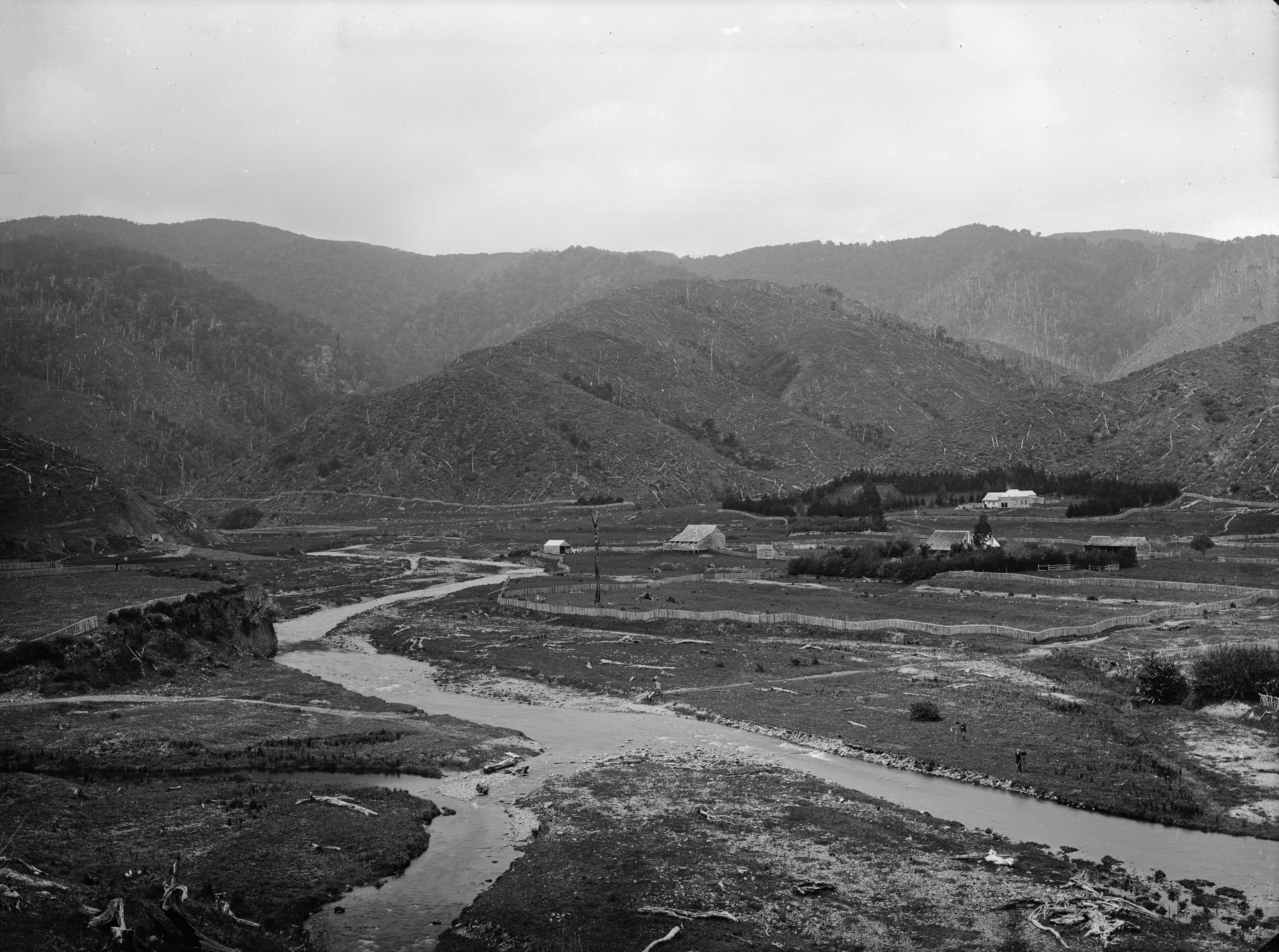
1880s view of the site where Richard Prouse Park in Wainuiomata is located.
This view of the future site of Richard Prouse Park, Hine Road, and Sunny Grove shows a deforested landscape with a number of old homesteads. These are some of the first homes in Wainuiomata. The photo was taken by William Williams in 1882. He was one of the first to use a camera in Wainuiomata.
Here is a list of interesting observations.
- The large home surrounded by trees in front of the hill was leased in the 1940s by Cephas John (Jack) Cullen (1891 – 1981). Cullens Bridge was located at the bottom of what is Hine Road today and it allowed access to the homestead from Reservoir Road. The residence is situated around 136 Hine Road and was originally named Glenhill by the Sinclairs. Following the Sinclair family’s ownership until 1883, the house acquired the name Riverlea.
- The home closest to the river is the original Sinclair homestead ‘Moness’.
- To the left you can see fenced off sections on what is now Whitcher Grove. Nearby you can see the entrance to Colemans Tunnel.
- The fenced off area across the river toward the hills to the left is where Hine Road Recreational Area is located today. It was also known as ‘The Meadow’ sometime later.
- Behind ‘The Meadow’ you can see a track running parallel with a fence on the hillside. This is roughly where Gums Loop Track is located today.
- At the head of that track and the fence on the hillside is Sinclair Cemetery. It is outlined by a fence and a perimeter of tall trees. You can see an entrance / bridge at the front where 5-7 Sunny Grove is now located.
- Wainuiomata River had a different trajectory. It was altered by the land developer to suit their plan for housing.
- If you look closely in the foreground and over the river, you can see two photographers.
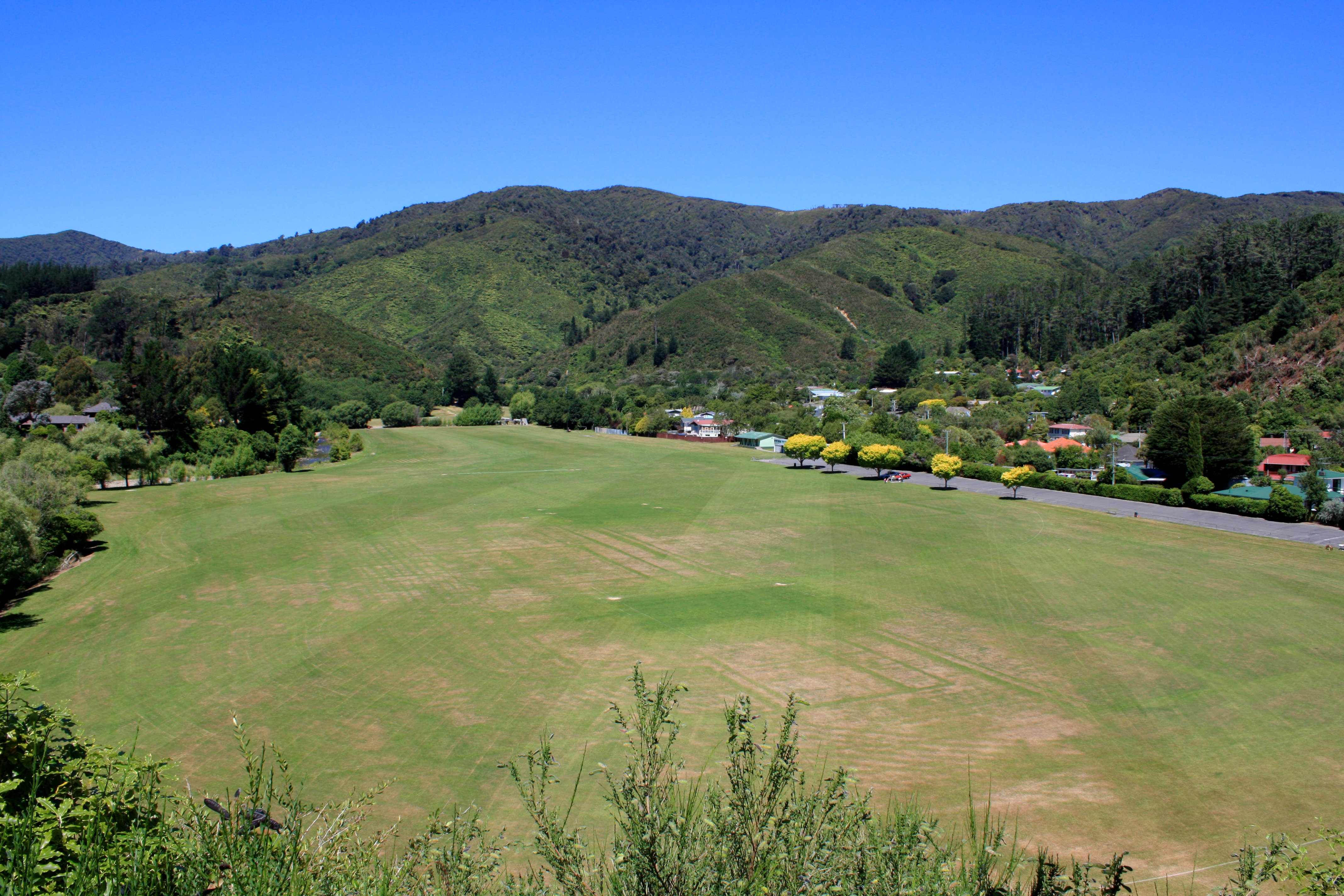
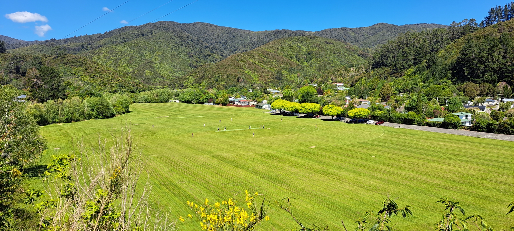
- The flat land and most of the hills had undergone milling by the Sinclair family. Despite over a century passing, the regeneration process is ongoing. Further up the hills, the forest is old-growth as the trees were not milled. (Use the slideshow below to see the regeneration after 130 or more years. The remnants of the milled sections on the hills are still discernible.)
1880
2008

2009
2023
Special thanks to Jeremy Foster for some information in this article.
Richard Prouse Park Timeline 1880s, 1940s, 2008, 2009, 2022, 2023
- Click any image to activate the slideshow.
- Zoom in on any image by clicking the ‘zoom’ button, double-tap image, or click on the image.
- Maximum zoom level is achieved via ctrl-wheel or pinch gesture via trackpad or touchable screen.


