Sinclair Cemetery serves as the final resting place for one of Wainuiomata’s pioneer families
Sinclair Cemetery was rediscovered as far back as 1981 and later commemorated in 1984 with a memorial plaque. Today, the main entrance to Sinclair Cemetery is close to the beginning of the Hine Road Recreational Area. From the car park, head right and up the hill behind Wainuiomata Memorial Garden.
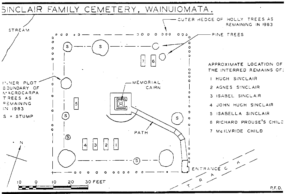
The cemetery holds the graves of the Sinclair family and two other children. They are: Hugh Sinclair, Agnes Sinclair, Isabel Sinclair, John Hugh Sinclair, Isabella Sinclair, Richard Prouse’s child, and McIlvride child. The Sinclair’s homestead (Glenhill) was close to the grave site. The first grave in this cemetery is dated as far back as 1871.
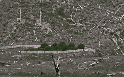
The Sinclair family were among the early settlers of Wainuiomata and played a significant role in logging the surrounding area. They were instrumental in clearing what was originally known as Sinclair Valley, later renamed Waterworks Valley and eventually Reservoir Valley. Their logging activities reached the future water catchment area, where the Water Board stepped in to halt further deforestation. Following the removal of trees in the valley, the Sinclair family gravesite became a prominent feature, marked by a fence and tall holly trees. However, as the bush regenerated over time, the gravesite became obscured and then forgotten.
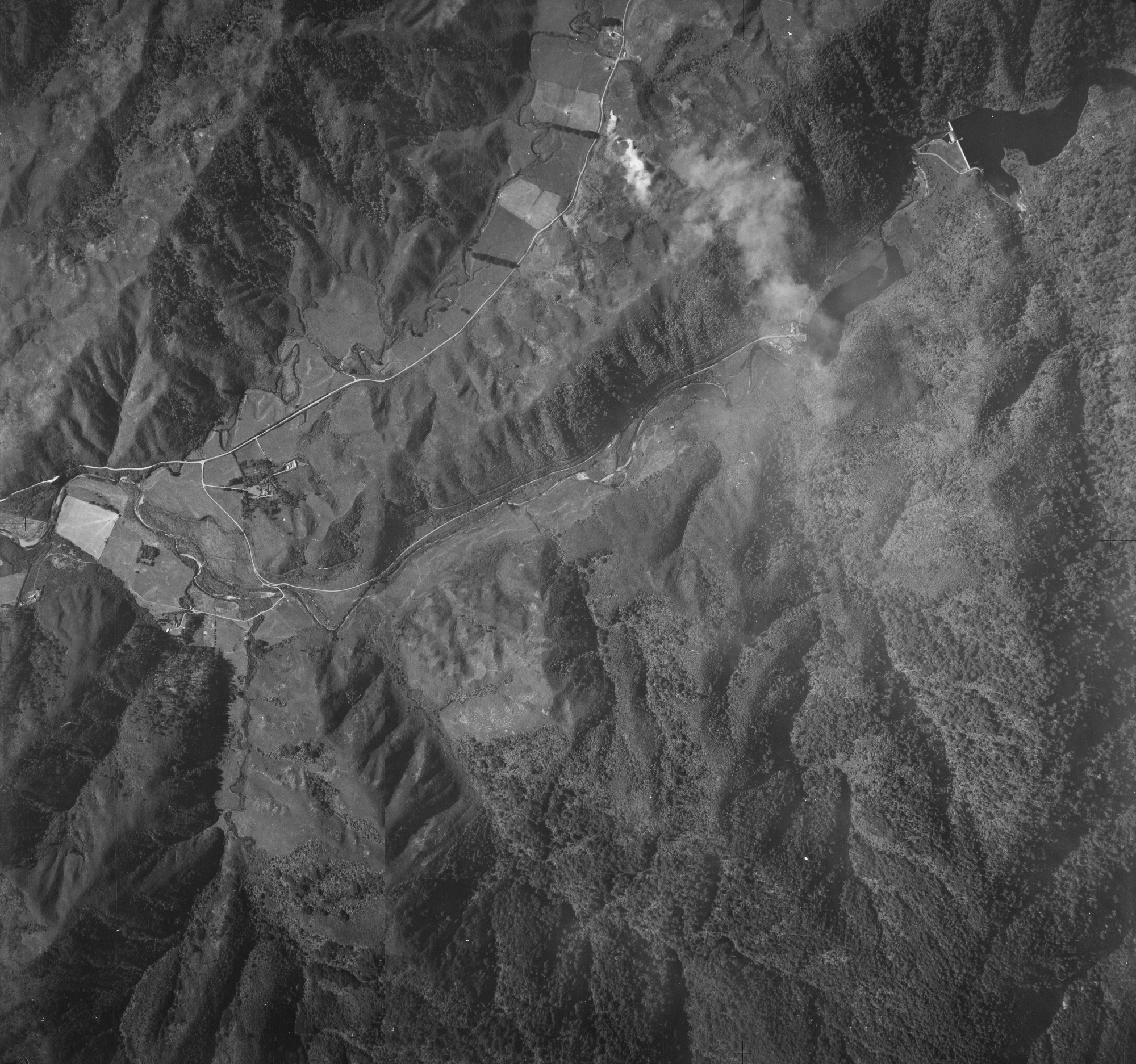
The regeneration of bush and the housing developments along Hine Road and Sunny Grove during the 1950s and 1960s contributed to the gravesite being largely forgotten. Its rediscovery occurred following an investigation, which was guided by an ex-resident who identified the site’s location. This finding was later confirmed by two descendants of the Sinclair family.
 In fact, I myself (David Johnson) lived in the property directly behind the grave site and as a child I would play with other kids here during the late 1960s to early 1970s without knowing it was a cemetery. One day when playing and hiding in the bush, I noticed that the trees near me formed a straight line, then turned 90 degrees to another straight line. It was hard to notice otherwise, because the site was covered in bush. Further, myself and childhood friends played in the macrocarpa trees on the site and built forts in the branches. These trees formed a rough square shape and it was obvious that these trees had been planted by someone. Learn more →
 The 1880s photograph in the gallery below appears to show a potential entrance to the gravesite, situated behind what is now 5 Sunny Grove. Until the late 1970s, a steep track led up to the site near the boundary of the current 5 and 7 Sunny Grove properties. Additionally, in a 1941 aerial photograph, a track can be seen crossing Sunny Grove and arriving at this location. In the 1880s photo, the fenced Sinclair Cemetery is identifiable by its tree-lined perimeter. While the bank below this entrance is quite steep today, it was less so in the 1970s and perhaps less steep in the late 1880s too.
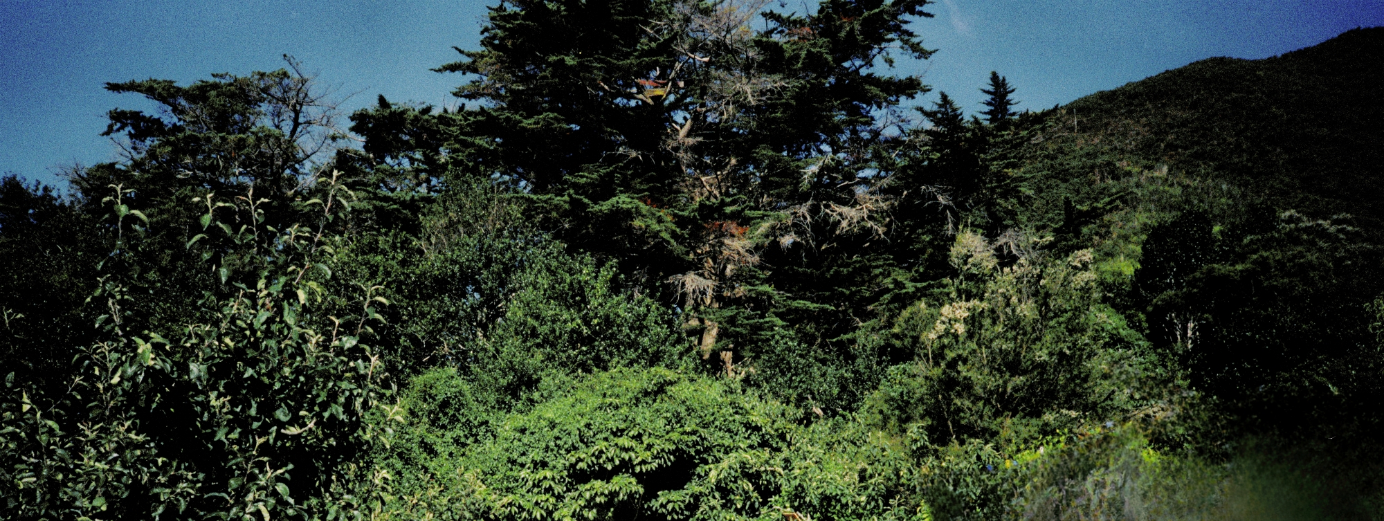
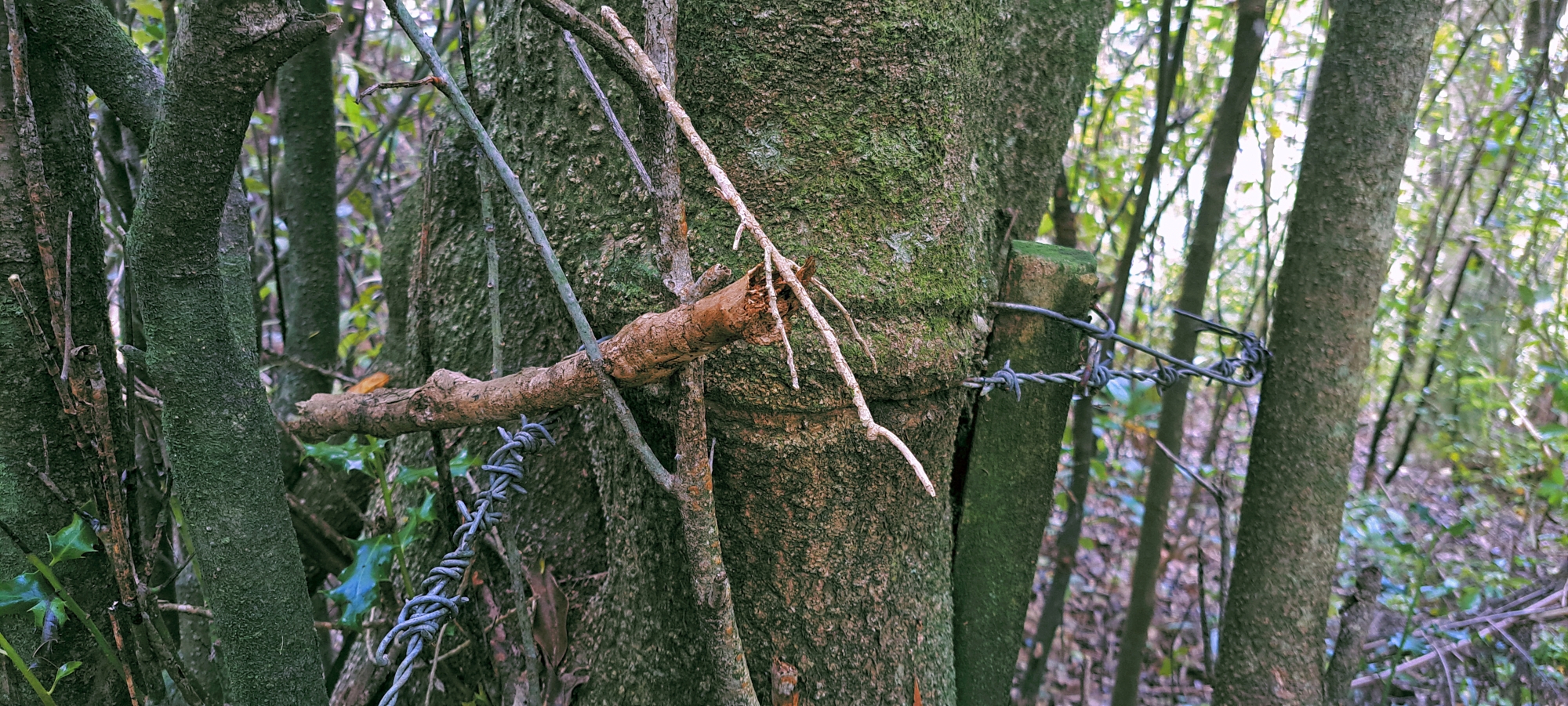 Today, at 7 Sunny Grove, the bank behind the cemetery site features what looks like two man-made cuts or steps in the bank, possibly remnants of a stairway that once led to the suspected entrance. Above these cuts lies a narrow, trench-like track that leads to a row of holly trees now surrounded by regenerating bush. These trees are believed to have marked the southern boundary of the cemetery site and still contain remnants of No. 8 wire and barbed wire embedded in their trunks, suggesting they were once part of a later fence constructed after the one visible in the 1880s photograph.
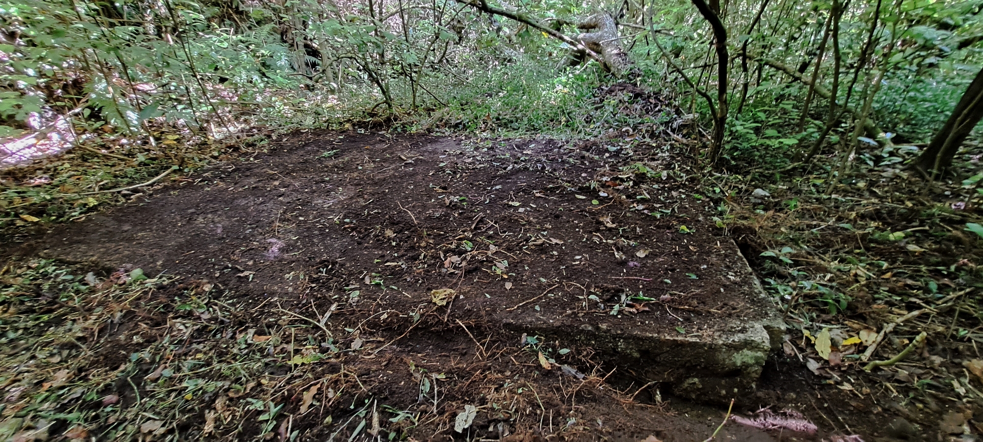
Beneath the cuts in the bank lies a concrete platform with corners shaped to fit a frame. While most long-time residents and original owners of 5, 7, & 9 Sunny Grove have no recollection of a structure ever being there, a child of one original owner recalls dogs being kept at this location in the 1960s, suggesting it may have simply been a dog kennel. If not, this raises the intriguing possibility that the structure predates the housing development and could date back to the Sinclair family’s time, potentially linking it to the cemetery given its close location. It may also have been established later, either during John Mowlem’s ownership of the land or when Cephas John Cullen leased it.


