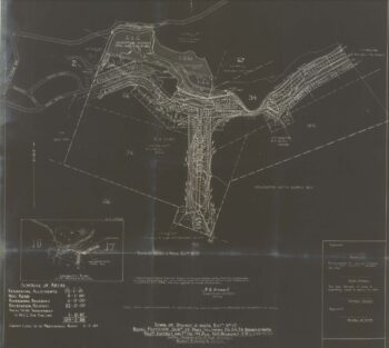
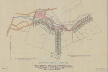
How did the street get its name?
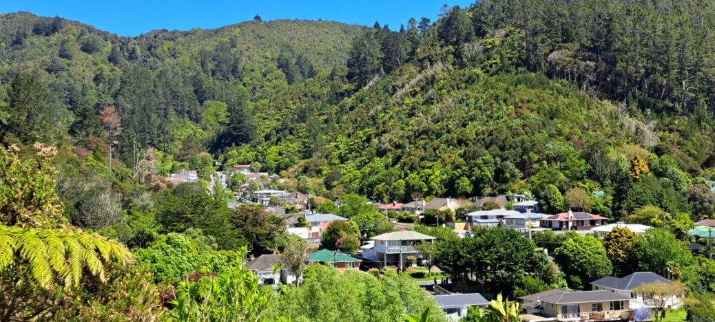
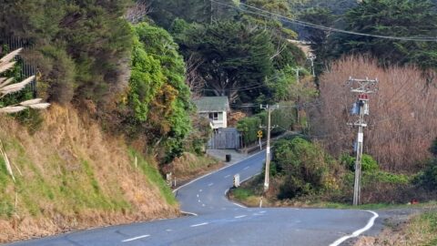
Sunny Grove has been known by a few other names over the years. Included is:
- Skerretts Gully;
- Carters Canyon;
- Chilly Grove;
- Gulch Grove;
- Shady Grove.
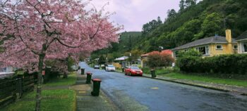
So how did this shady street end up with its official name – ‘Sunny Grove’?
The name of the street took place on a rainy day when Brenda Shirley Willis (1931 – 2014), the daughter of the developer / land owner Norman Elias Willis (1901 – 1977), wished that the sun was shining the day she was shown the area. Since then, it is been a long standing joke that a shady street be called Sunny Grove.
The effects of logging
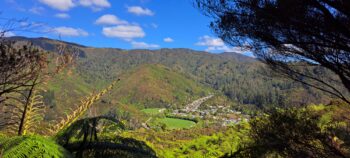
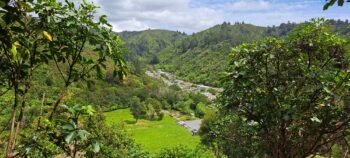
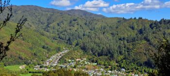
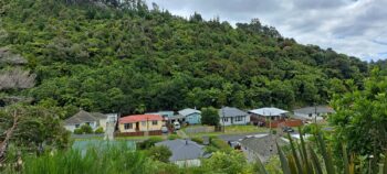
Further back in history, in the 1860s-1870s, this valley and beyond, was logged by the Sinclair family. 100 years or so later in the 1960s and 1970s, gorse fires on the hills were common. Gorse is one of a number of first coloniser plants that thrive in cleared areas. As of 2023, the forest is still recovering, but there is a lot more native bush on the hills compared to the 1970s. In fact, gorse acts as a nursery for native plant regrowth. The key is to prevent wildfires from dispersing gorse seeds, which ultimately enables native flora and trees to thrive, gradually overshadowing the gorse and leading to the dominance of native species. It’s a slow process and even after 140 years, you can still see the areas that were logged on the hills compared to the forests that were untouched.
Pre-housing
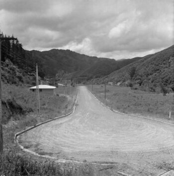
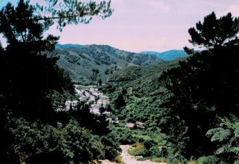
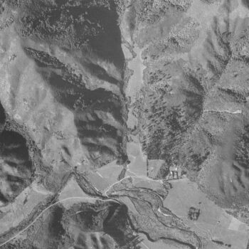
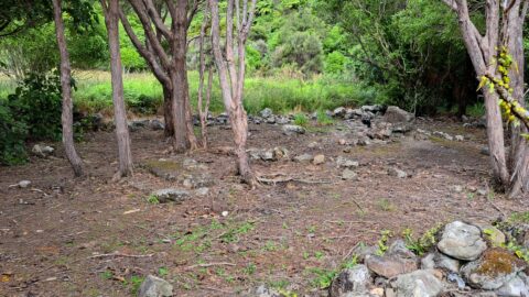
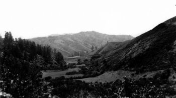 Before Sunny Grove became a residential area, it was farmland leased by Cephas John (Jack) Cullen. Prior to that, the land was owned by John Wakeham, and before him, it belonged to the Sinclair family. The Sinclairs had a house called Glenhill near Willis Grove, surrounded by a border of trees located behind what are now the properties at the lower end of Sunny Grove. Across the street, behind houses numbered 5 and 7, lies Sinclair Cemetery, the final resting place of the Sinclair family and others. The cemetery, accessible through the Hine Road Recreation Area, features a central memorial. The accompanying photo shows Sunny Grove as it appeared in the 1940s. Up until the 1970s, an old hunter’s hut stood at the top of the street for many years, where possum trapping also took place.
Sunny Grove under construction
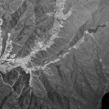
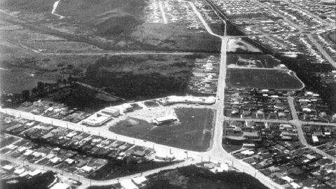
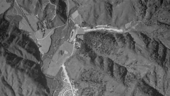 The aerial photo to the right provides a clear view of the ongoing construction in both Sunny Grove and Hine Road in the year 1954. Notably, Sunny Grove features what appears to be a temporary bridge to cross Skerretts Creek which meanders over to the western side of the valley in some locations. These details, coupled with the time period show the rerouting of Skerretts Creek and shifting of earth to create more flat land. This photo captures a significant transformative phase of Sunny Grove.
Housing
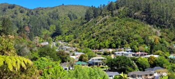
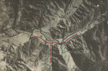
The houses along Sunny Grove were built in the 1960s, although there was at least one house on the grove as far back as 1958 as the accompanying photo attests. In the photo, the right side of the street is where the odd numbered houses are located. Skerretts Creek was rerouted to only flow down that side of the gully.

