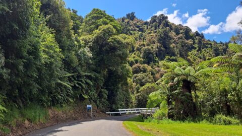
Wainuiomata Road, originally known as Wainuiomata Hill Road was established in the late 19th century.
History
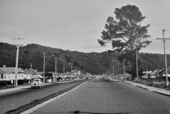
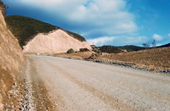
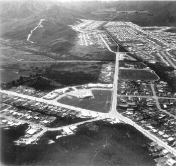
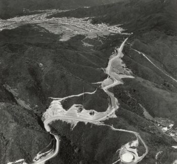
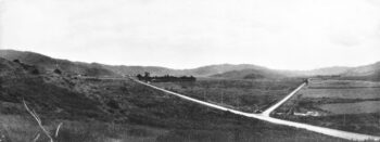
During Wainuiomata’s early development, access from the Hutt Valley relied on rugged tracks navigating steep hills. Gradually, Wainuiomata Road evolved from a challenging, winding pathway into the primary access route. However, amidst housing plans for Wainuiomata, a tunnel connecting Seaview to the suburb emerged as the proposed access route. Sadly, due to financial constraints exacerbated by an economic downturn, the tunnel project was shelved part way through construction, prompting the adoption of an alternative main route in and out of the valley. Wainuiomata Road underwent significant improvements and today, it stands as the only road in and out of the valley for motor vehicles.
Today
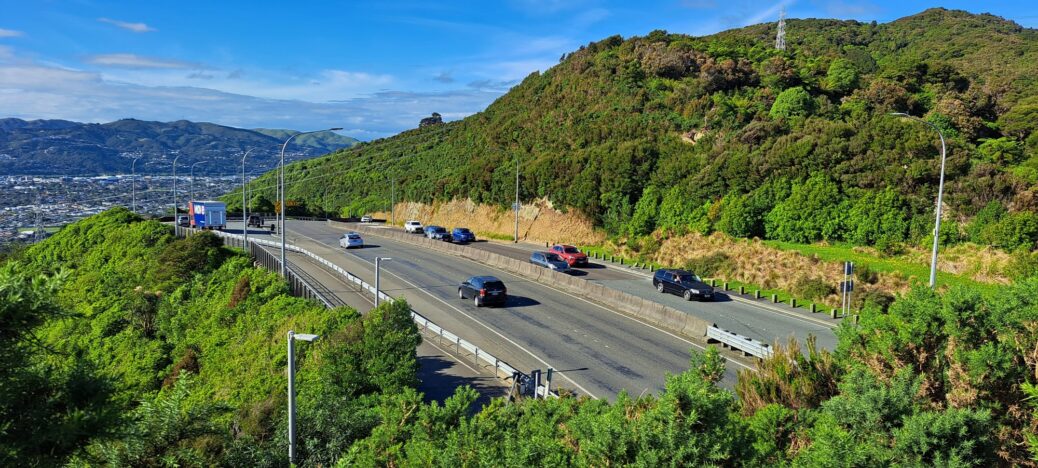
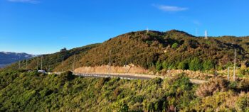
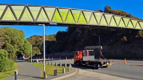
Wainuiomata Road opens out to four / five lanes as it goes over the Wainuiomata Hill. The road connects Wainuiomata to Gracefield and Waiwhetu. This part of Wainuiomata Road is often referred to as Wainuiomata Hill Road.
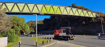
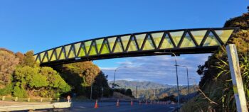
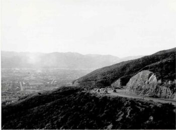
The hill peaks at 189 metres above sea level, where a car park connects to a lookout offering panoramic views of Wellington Harbour and the Hutt Valley as well as Wainuiomata. Pukeatua Bridge and a number of walks and mountain bike tracks can be accessed from the car park.
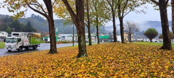
The road then continues into the Wainuiomata valley and eventually connects to other major roads like Queen Street and then ends at a roundabout where you can access Main Road, which takes you south, or Fitzherbert Road which heads north.

