Photo of Wainuiomata Primary School taken around the year 2010.
Today, the school has undergone a major classroom rebuild with new classes added and some demolished. This photo shows the quadrangle for the older students which doesn’t exist today.
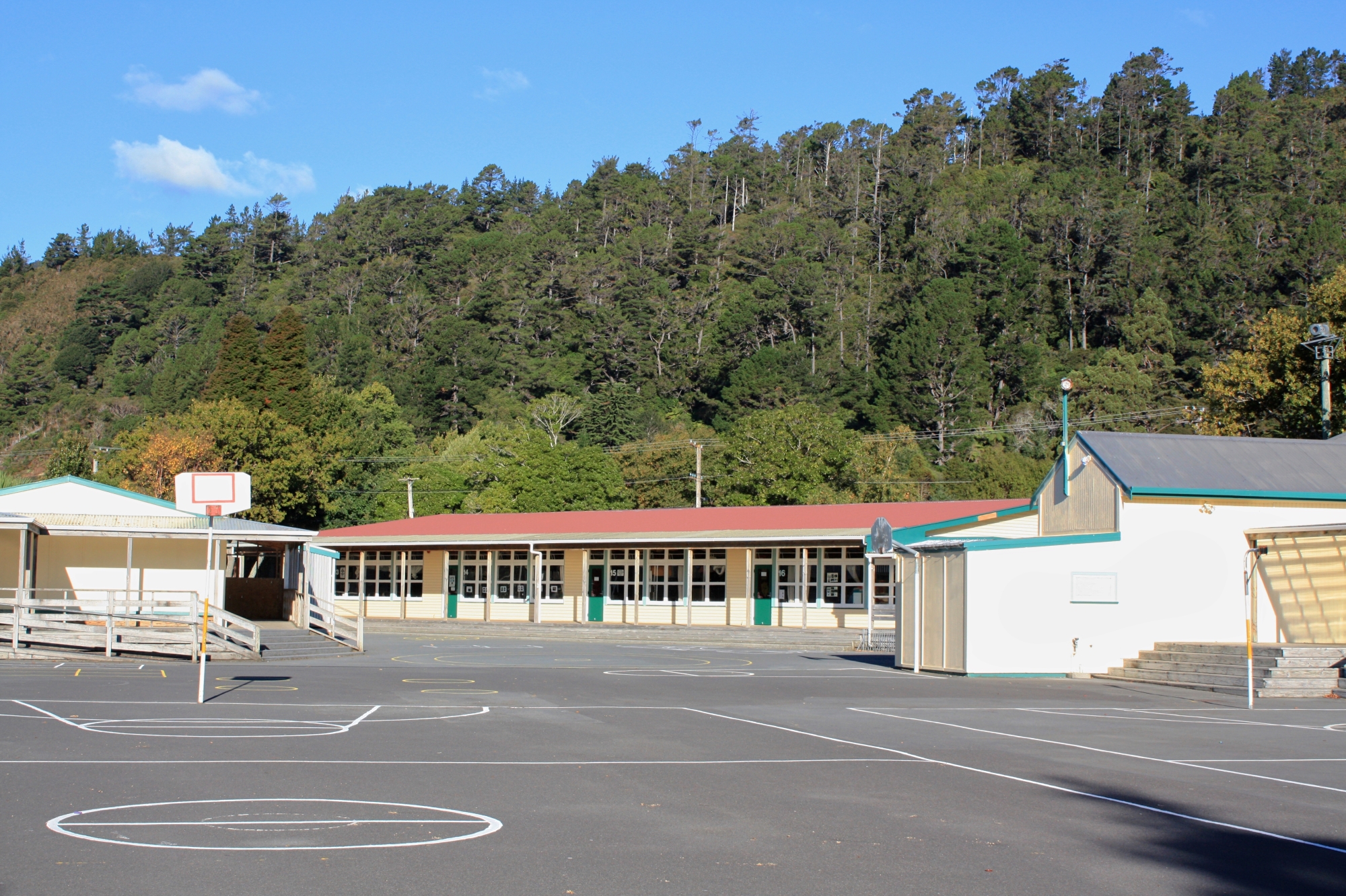
Today, the school has undergone a major classroom rebuild with new classes added and some demolished. This photo shows the quadrangle for the older students which doesn’t exist today.


Support Wainuiomata.Net with a donation and help us continue to uncover local history, capture photos, drink coffee, and promote Wainuiomata.

| M | T | W | T | F | S | S |
|---|---|---|---|---|---|---|
| 1 | ||||||
| 2 | 3 | 4 | 5 | 6 | 7 | 8 |
| 9 | 10 | 11 | 12 | 13 | 14 | 15 |
| 16 | 17 | 18 | 19 | 20 | 21 | 22 |
| 23 | 24 | 25 | 26 | 27 | 28 | 29 |
| 30 | 31 | |||||
Support Wainuiomata.Net with a donation and help us continue to uncover local history, capture photos, drink coffee, and promote Wainuiomata.
© 2026 virtualtopia.com
