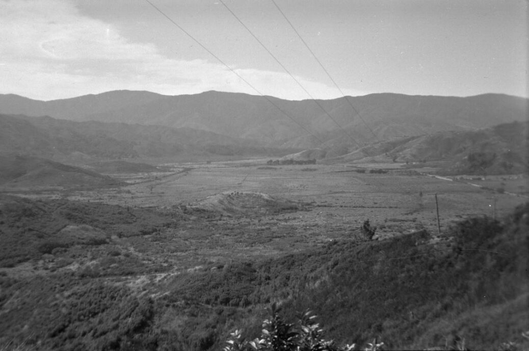
Looking at Wainuiomata Valley from atop Wainuiomata Hill circa 1949 reveals the absence of houses. The valley contains mostly farmland with a single road visible to the right.
Wainuiomata Valley View circa 1949
-
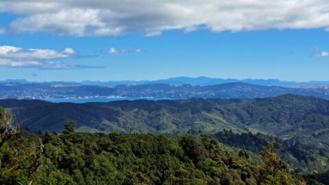
View of Wellington from the Whakanui Track
, Photos, 0
From the Whakanui Track, you can enjoy a distant view of Wellington and Wellington Harbour, with the South Island...
-
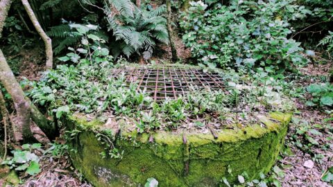
Colemans Tunnel in 2023
, Photos, 0
Image depicting Colemans Tunnel and shaft captured in 2023. Initially built during 1881-1882, the shaft now remains concealed.
-
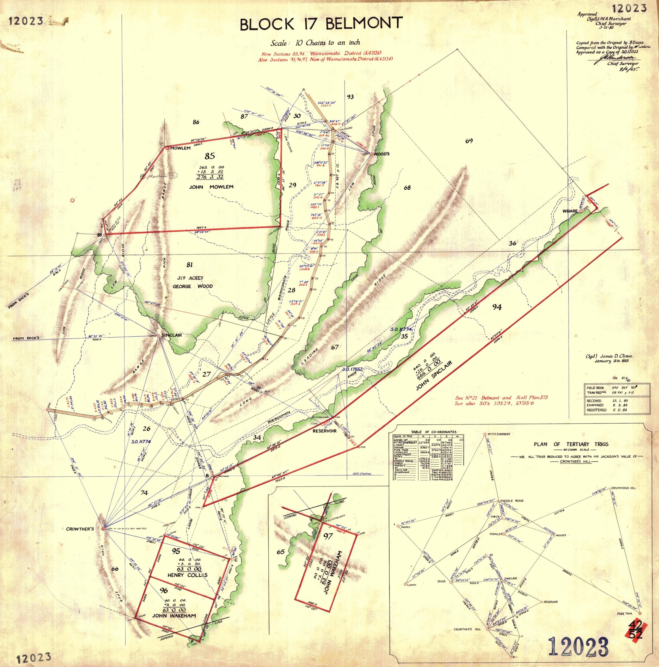
Map of Moores Valley & Reservoir Valley (1883)
, History, Maps, 0
This map (Block 17 Belmont) made on the 9th of June, 1963 is an approved copy of a map...
-
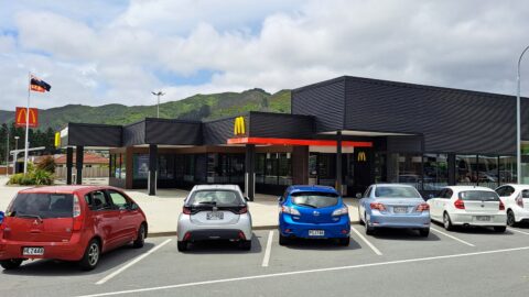
McDonalds in Wainuiomata
, News, Photos, 0
McDonald’s opened its restaurant in Wainuiomata, on April 13, 1999. Located on The Strand, it is across the...
-
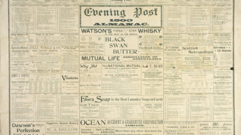
Evening Post 03 Sep 1880
, History, News, 0
The City Surveyor having reported that the specifications, &c., for the tunnel in connection with the Wainuiomata water supply.
-
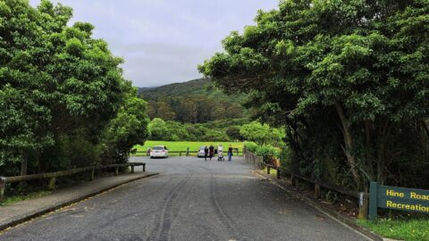
Hine Road Recreation Area Entrance
, Photos, 0
Looking at the entrance to the Hine Road car park and Hine Road Recreation Reserve. This is a great...
-
Evening Post 15 Mar 1881
, History, News, 0
The following tenders have been received by the Corporation:- Laying 30-inch water-mains in the Wainui Valley.
-
Earth Bridge
, History, Photos, 0
Along a short section of Maintenance Road, an old track parallel to Reservoir Road, there is an earth bridge....
SEARCH
RANDOM POST
TIMELINE
PAGES
- Wainuiomata
- History
- Waterworks
- Rivers
- Walks
- Reserves
- All Reserves
- Remutaka Forest Park
- Catchpool Valley
- Wainuiomata Regional Park
- Hine Road Recreation Area
- Harry Todd Recreation Area
- Richard Prouse Park
- Poole Crescent Reserve
- Rotary Park
- Wainuiomata Scenic Reserve
- Queen Street Reserve
- Bryan Heath Park
- Ngaturi Park
- Brookfield
- Camp Wainui
- Puketahā Wildlife Sanctuary
- About Us
WAINUIOMATA MUSEUM


