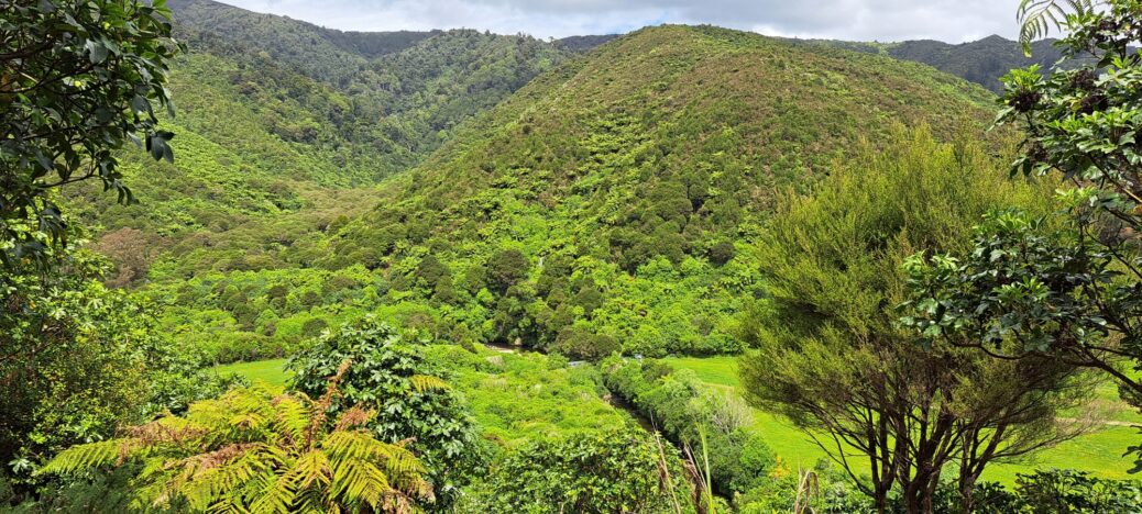
This photo shows the Wainuiomata Regional Park to the left and Hine Road Recreation Area to the right. The dividing line is the Wainuiomata River. The Nikau Walk is located in the valley to the left.
Tags: Aerial Bush Mountains Reserves & Parks RiversAerial View of the Wainuiomata River
-
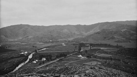
Overlooking Moore’s Valley Road 1880s
/ / Photos / 0
Looking towards the west along Moore's Valley Road (in the foreground) and the Wainuiomata River, where the Main Road...
-
McDonalds in Wainuiomata
/ / News, Photos / 0
McDonald’s opened its restaurant in Wainuiomata, on April 13, 1999. Located on The Strand, it is across the...
-
Earth Bridge
/ / History, Photos / 0
Along a short section of Maintenance Road, an old track parallel to Reservoir Road, there is an earth bridge....
-
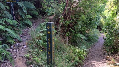
Middle Ridge Track & Orongorongo Track
/ / Photos / 0
The start of the Middle Ridge Track also connects to the Orongorongo Track in Catchpool Valley, Wainuiomata.
-
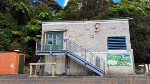
Wainuiomata Hydro-electric Generator
/ / News, Photos / 0
Water is passed through turbine generators housed in a dedicated building. Inspections of the generator are conducted no more...
-
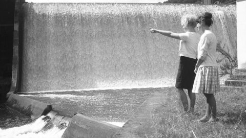
Morton Dam Spillway in 1965
/ / Photos / 0
Looking at the Morton Dam spillway in action in the year 1924. Morton Dam was once the main source...
-
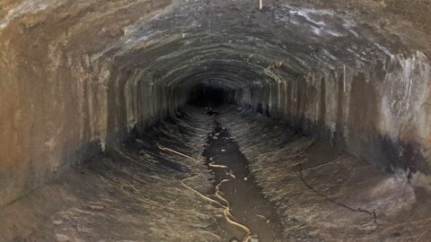
Wainuiomata Water Race
/ / History, Photos / 0
In 1880, W.F. Oakes won a tender to construct a water race between the old dam and a pipeline...
-
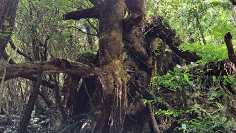
Tangled Trees Growing out of a Slip
/ / Photos / 0
At some point, a landslide has moved these trees farther down the steep incline beneath the McKerrow Track.
SEARCH
RANDOM POST
TIMELINE
PAGES
- Wainuiomata
- History
- General History
- Historic Sites
- Hidden Sites
- Kittyhawk Plane Wreckage
- Wainuiomata Tunnel
- Waiwhetu Tunnel
- Black Creek Tunnel
- Sinclair Tunnel
- Colemans Tunnel
- Meter House
- Water Race
- Scour Pipe
- Earth Bridge
- Power Generator
- Horse Powered Log Arch Cart
- Skerretts Creek Water Catchment
- Concrete Water Tanks
- Mount Crowther Track Water Tanks
- Scout / Pearson Hut
- Workers Huts
- The Black House
- Infrastructure
- Buildings
- Industries
- Notable People
- Waterworks
- Rivers
- Walks
- Official Tracks
- Unofficial Tracks
- Bivy Track
- ECNZ Power Pylon Track
- Gawler Reservoir Track
- Hine Road Track
- Maintenance Track
- McKerrow Ridge Track
- Mill to Moness Track
- Mount Crowther Track
- Old Nikau Creek Track
- Old Whakanui Track
- Scholes Creek Track
- Scour Pipe Track
- Sinclair Track
- Solomon Track
- Spear Cut Track
- Sunny Grove Track
- Water Race Track
- Reserves
- All Reserves & Parks
- Remutaka Forest Park
- Catchpool Valley
- Wainuiomata Regional Park
- Hine Road Recreation Area
- Harry Todd Recreation Reserve
- Richard Prouse Park
- Poole Crescent Reserve
- Rotary Park
- Wainuiomata Scenic Reserve
- Queen Street Reserve
- Bryan Heath Park
- Ngaturi Park
- Brookfield
- Camp Wainui
- Turakirae Head Scientific Reserve
- Puketahā Wildlife Sanctuary
- Wainuiomata Trees
- All Reserves & Parks
- About Us
WAINUIOMATA MUSEUM


