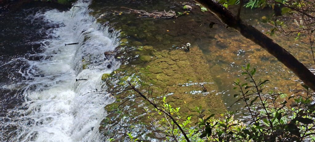
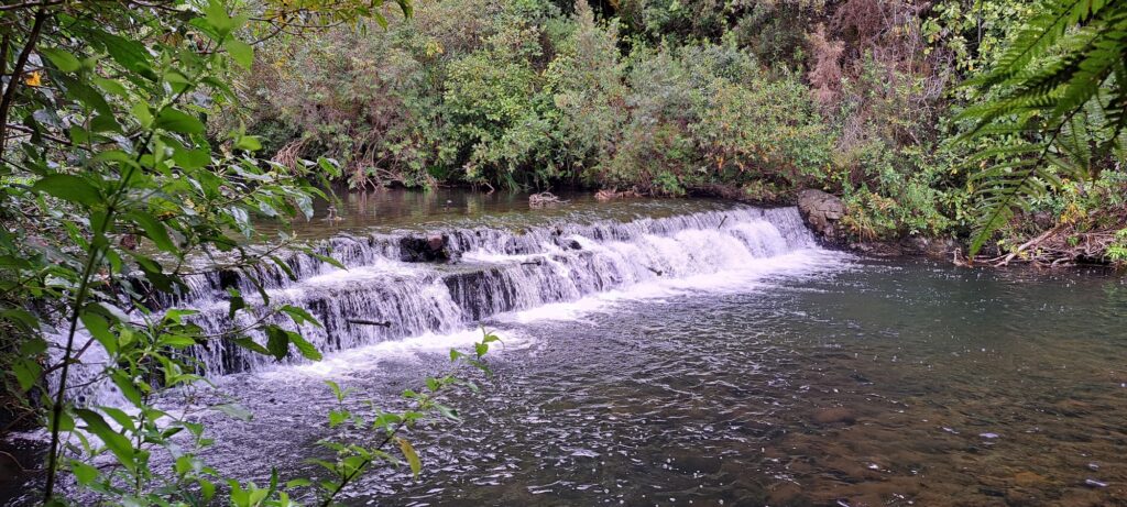
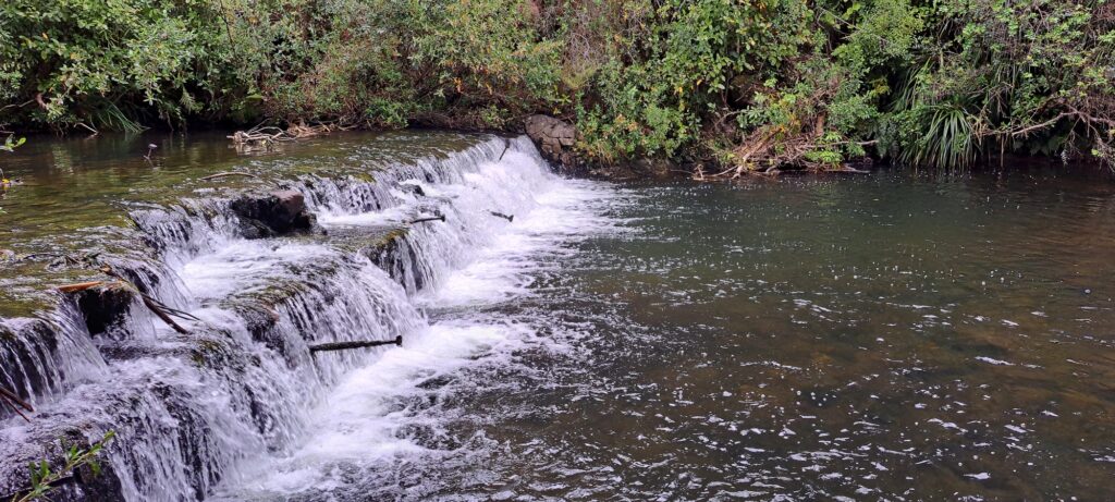
At the lowest level of the old dam spillway, large metal spikes are visible jutting out of the water. Could these have been used to lay planks for a temporary bridge across the Wainuiomata River? After all, many photos of the spillway are taken from the opposite side, and there is evidence suggesting that smaller structures, possibly huts, once existed on that side as well. Other possibilities include: structural supports used during the dam’s construction or maintenance and they could have served as supporting scaffolding, to anchor equipment or materials during the building process.
Bottom Tier of Lower Dam
-
1974 Aerial Photo showing Moores Valley & Naenae
/ / History, Photos / 0
An aerial photograph taken on 30th December 1974 captures the upper Moores Valley of Wainuiomata with Naenae also in...
-
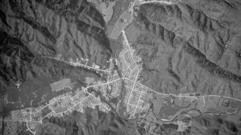
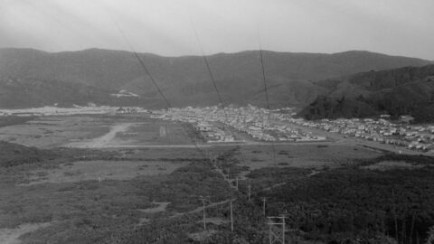
Aerial Photo of Wainuiomata in 1954
/ / History, Photos / 0
The image of Wainuiomata from 1954 offers a fascinating glimpse into the area's history, as it predates Arakura and...
-
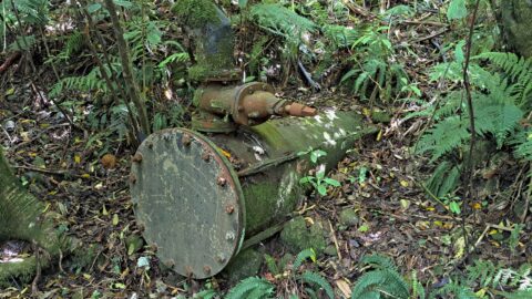
Morton Dam Pipeline
/ / History, Photos / 0
The Morton Dam pipeline was a key part of Wellington’s early 20th-century water supply system. Constructed between 1908 and...
-
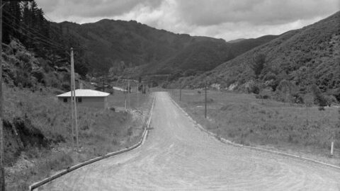
Sunny Grove in 1958
/ / Photos / 0
Development of houses took place in the 1960s in Sunny Grove. However, this photo from 1958 shows at...
-
Wainuiomata Valley Timeline
/ / Photos / 0
A timeline taken from the same lookout near the car park at the top of the Wainuiomata Hill. Click...
-
The History of Reservoir Road
/ / History, Photos / 0
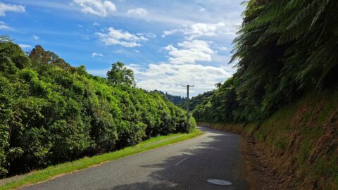
Reservoir Road, a private route for waterworks and council staff, doubles as the Lower Dam Walk on the Gums...
-
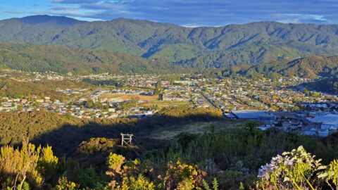
Wainuiomata Valley View circa 1960
/ / Photos / 0
View of Wainuiomata Valley as seen from the summit of Wainuiomata Hill circa 1960. The suburb of Parkway and...
-
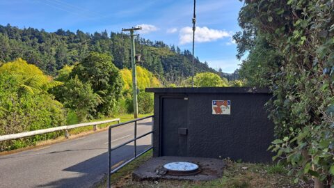
Pump Station
/ / History, Photos / 0
The pumping station on Reservoir Road plays a vital role in distributing water throughout the Wainuiomata water network.
SEARCH
RANDOM POST
TIMELINE
PAGES
- Wainuiomata
- History
- General History
- Historic Sites
- Hidden Sites
- Kittyhawk Plane Wreckage
- Wainuiomata Tunnel
- Waiwhetu Tunnel
- Black Creek Tunnel
- Sinclair Tunnel
- Colemans Tunnel
- Meter House
- Water Race
- Scour Pipe
- Earth Bridge
- Power Generator
- Horse Powered Log Arch Cart
- Skerretts Creek Water Catchment
- Concrete Water Tanks
- Mount Crowther Track Water Tanks
- Scout / Pearson Hut
- Workers Huts
- The Black House
- Infrastructure
- Buildings
- Industries
- Notable People
- Land Holdings
- Waterworks
- Rivers
- Walks
- Official Tracks
- Unofficial Tracks
- Bivy Track
- ECNZ Power Pylon Track
- Gawler Reservoir Track
- Hine Road Track
- Maintenance Track
- McKerrow Ridge Track
- Mill to Moness Track
- Mount Crowther Track
- Old Nikau Creek Track
- Old Whakanui Track
- Scholes Creek Track
- Scour Pipe Track
- Sinclair Track
- Solomon Track
- Spear Cut Track
- Sunny Grove Track
- Water Race Track
- Reserves
- All Reserves & Parks
- Remutaka Forest Park
- Catchpool Valley
- Wainuiomata Regional Park
- Hine Road Recreation Area
- Harry Todd Recreation Reserve
- Richard Prouse Park
- Poole Crescent Reserve
- Rotary Park
- Wainuiomata Scenic Reserve
- Queen Street Reserve
- Bryan Heath Park
- Ngaturi Park
- Brookfield
- Camp Wainui
- Turakirae Head Scientific Reserve
- Puketahā Wildlife Sanctuary
- Wainuiomata Trees
- All Reserves & Parks
- About Us
| M | T | W | T | F | S | S |
|---|---|---|---|---|---|---|
| 1 | ||||||
| 2 | 3 | 4 | 5 | 6 | 7 | 8 |
| 9 | 10 | 11 | 12 | 13 | 14 | 15 |
| 16 | 17 | 18 | 19 | 20 | 21 | 22 |
| 23 | 24 | 25 | 26 | 27 | 28 | 29 |
| 30 | ||||||
WAINUIOMATA MUSEUM


