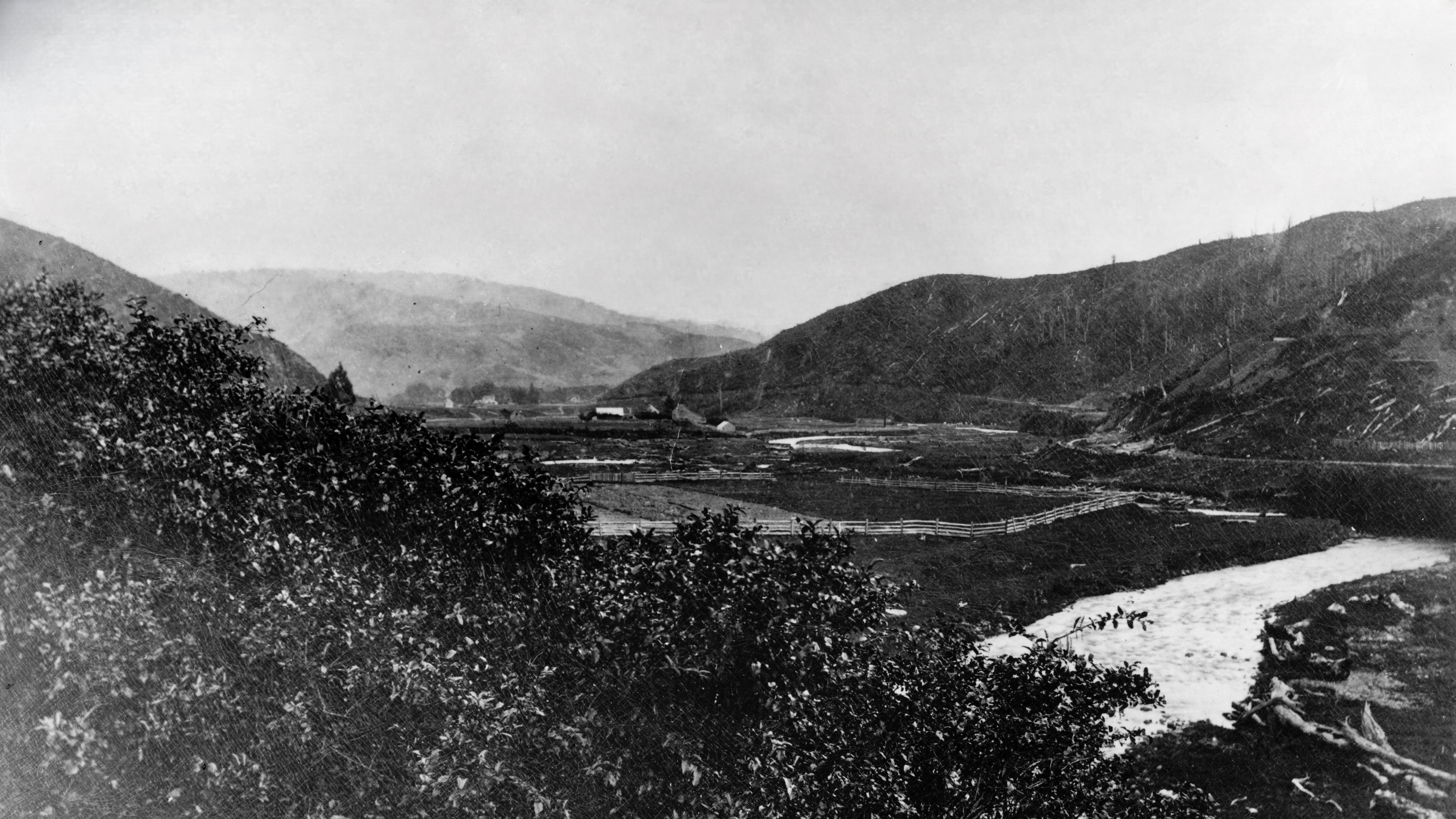
This view captures a fenced-off Hine Road Recreation Area in the 1870s or 1880s. Of course, in that era, the reserve area was farmland.
Here are some interesting observations:
Some homesteads are in view including of the Sinclair family. The shaft belonging to Colemans Tunnel is just visible in the upper-right of the photo.
There is no Maintenance Road as that was constructed in the early 1920s..
The Wainuiomata River looks flooded and the surrounding hills are stripped of trees. A sawmill operated by the Sinclair family is just out of view to the right / east in what is now the intersection of Whitcher Grove and Moores Valley Road. The Sinclairs logged present day Moores Valley, Reservoir Valley, Skerretts Gully / Sunny Grove valley, and the Hine Road area.


