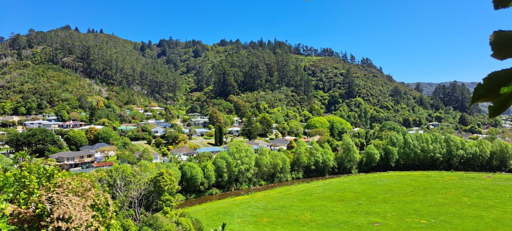
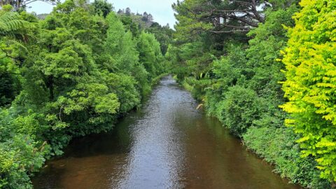
Looking toward Hine Road with the eastern side of Richard Prouse Park in view. Hine Road provides access to the Wainuiomata Regional Park which is close by. The hills are part of the Remutaka range.
Tags: Bush Reserves & Parks StreetsHine Road & Richard Prouse Park
-
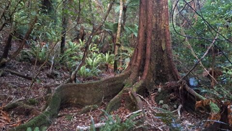
Buttress Root System Wainuiomata Scenic Reserve
/ / Photos / 0
Example of a buttress root system that helps stabilise trees that grow in shallow soil. This giant is located...
-
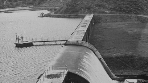
Aerial View of Morton Dam in 1924
/ / Photos / 0
Aerial view of Morton Dam in the year 1924. You can see the spillway, tower with gantry, and reservoir...
-
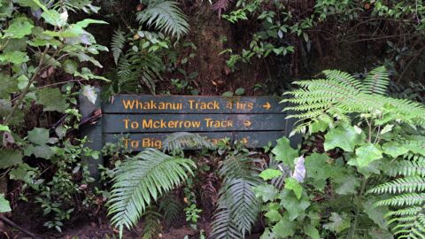
Old Whakanui Track Entrance
/ / News, Photos / 0
Most people walking on the Whakanui Track will start at the top of Sunny Grove. But the track use...
-
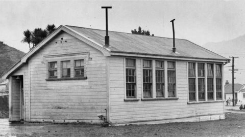
The History of Wainuiomata Primary School
/ / History, Photos / 0
Established in 1857, Wainuiomata Primary School, a state school, resides in Homedale, the oldest suburb in Wainuiomata.
-
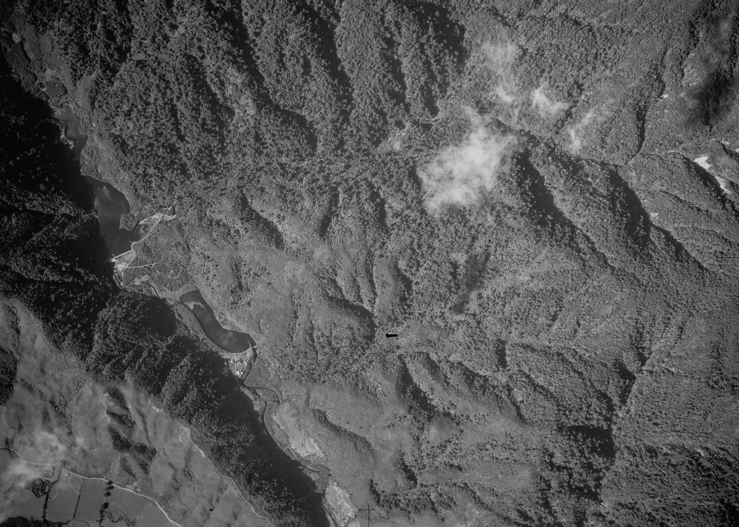
Aerial Photo of the Waterworks in 1954
/ / History, Photos / 0
The image of the Waterworks from 1954 shows both the Lower Dam and Morton Dam. You can see homes...
-
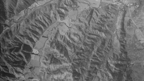
Aerial photo of Moores Valley & Reservoir Valley in 1942
/ / History, Photos / 0
An aerial photograph taken in 1942 Moores Valley and Reservoir Valley, extending up to the old dam. Both valleys...
-
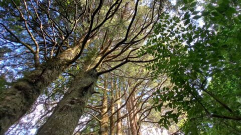
Kahikatea in Nikau Valley
/ / Photos / 0
In Nikau Valley lies this strand of young Kahikatea trees standing gracefully amidst the lush surroundings.
-
Wainuiomata River Homedale
/ / Photos / 0
Looking at Wainuiomata River from the Main Road Bridge with entrance and track to Pool Crescent Reserve just visible...
SEARCH
RANDOM POST
TIMELINE
PAGES
- Wainuiomata
- History
- General History
- Historic Sites
- Hidden Sites
- Kittyhawk Plane Wreckage
- Wainuiomata Tunnel
- Waiwhetu Tunnel
- Black Creek Tunnel
- Sinclair Tunnel
- Colemans Tunnel
- Meter House
- Water Race
- Scour Pipe
- Earth Bridge
- Power Generator
- Horse Powered Log Arch Cart
- Skerretts Creek Water Catchment
- Concrete Water Tanks
- Mount Crowther Track Water Tanks
- Scout / Pearson Hut
- Workers Huts
- The Black House
- Infrastructure
- Buildings
- Industries
- Notable People
- Waterworks
- Rivers
- Walks
- Official Tracks
- Unofficial Tracks
- Bivy Track
- ECNZ Power Pylon Track
- Gawler Reservoir Track
- Hine Road Track
- Maintenance Track
- McKerrow Ridge Track
- Mill to Moness Track
- Mount Crowther Track
- Old Nikau Creek Track
- Old Whakanui Track
- Scholes Creek Track
- Scour Pipe Track
- Sinclair Track
- Solomon Track
- Spear Cut Track
- Sunny Grove Track
- Water Race Track
- Reserves
- All Reserves & Parks
- Remutaka Forest Park
- Catchpool Valley
- Wainuiomata Regional Park
- Hine Road Recreation Area
- Harry Todd Recreation Reserve
- Richard Prouse Park
- Poole Crescent Reserve
- Rotary Park
- Wainuiomata Scenic Reserve
- Queen Street Reserve
- Bryan Heath Park
- Ngaturi Park
- Brookfield
- Camp Wainui
- Turakirae Head Scientific Reserve
- Puketahā Wildlife Sanctuary
- Wainuiomata Trees
- All Reserves & Parks
- About Us
WAINUIOMATA MUSEUM


