Photo of Homedale taken in 1940, showing the school block surrounded by farmland. Homedale was a rural area, but substantial housing started in the 1950s.
Special thanks to Carl Smith for the information and image in this article.
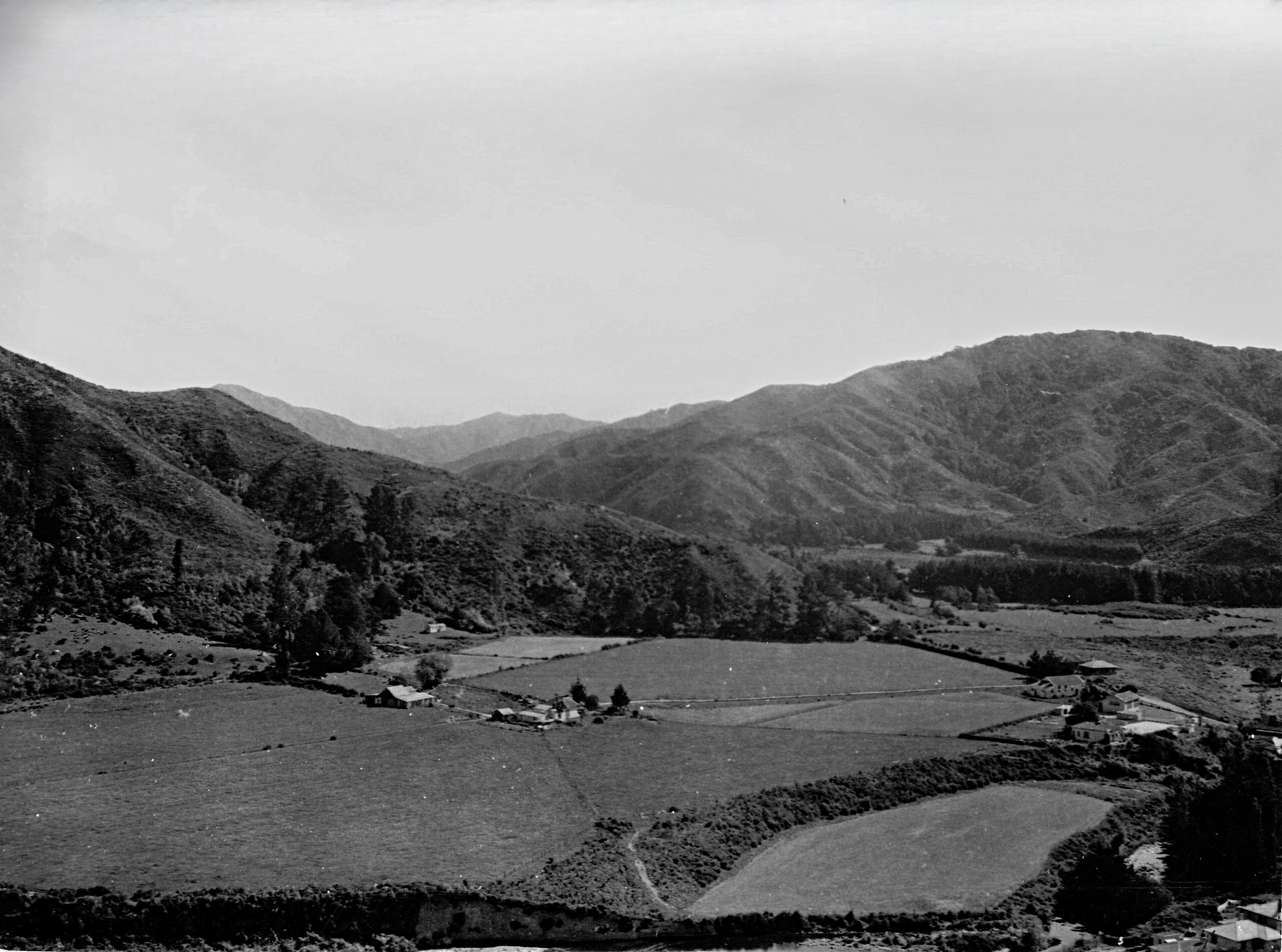
Photo of Homedale taken in 1940, showing the school block surrounded by farmland. Homedale was a rural area, but substantial housing started in the 1950s.
Special thanks to Carl Smith for the information and image in this article.


Support Wainuiomata.Net with a donation and help us continue to uncover local history, capture photos, drink coffee, and promote Wainuiomata.

| M | T | W | T | F | S | S |
|---|---|---|---|---|---|---|
| 1 | ||||||
| 2 | 3 | 4 | 5 | 6 | 7 | 8 |
| 9 | 10 | 11 | 12 | 13 | 14 | 15 |
| 16 | 17 | 18 | 19 | 20 | 21 | 22 |
| 23 | 24 | 25 | 26 | 27 | 28 | 29 |
| 30 | 31 | |||||
Support Wainuiomata.Net with a donation and help us continue to uncover local history, capture photos, drink coffee, and promote Wainuiomata.
© 2026 virtualtopia.com
