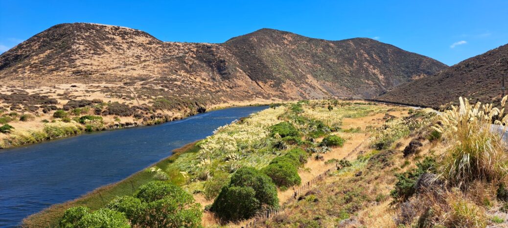
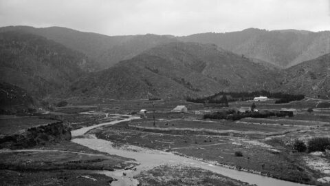
Looking at the lower reaches of Wainuiomata River as observed during summer. It traverses arid looking terrain in the month of February when rainfall is low.
Lower Reaches of Wainuiomata River
-
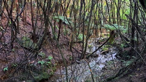
View of Scholes Creek in Wainuiomata
/ / Photos / 0
This is a view of the lower reaches of Scholes Creek just before it flows outside the bushland near...
-
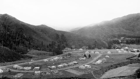
Homedale Circa 1946
/ / Photos / 0
Aerial view of Homedale (circa 1946) showing some interesting features. They are as follows: 23 houses in Poole Crescent;
-
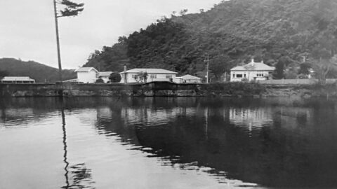
Photos and Memories of the Waterworks in 1969
/ / History, Photos / 0
Images and memories capturing the essence of the Wainuiomata Waterworks as shared by the Reidy Family, and conveyed by...
-
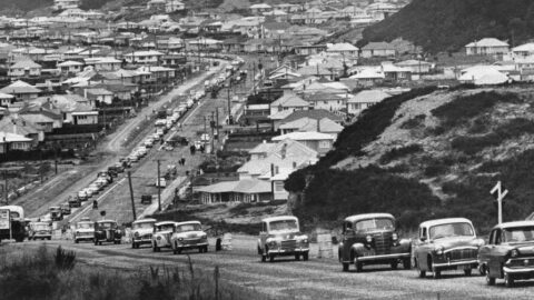
Cars Driving on Newly Sealed Road in 1964
/ / Photos / 0
A line of vehicles traversing a freshly paved stretch of Wainuiomata Road as it climbs up Wainuiomata Hill.
-
Homedale in 1940
/ / Photos / 0
Photo of Homedale taken in 1940, showing the school block surrounded by farmland. Substantial housing started in the 1950s.
-
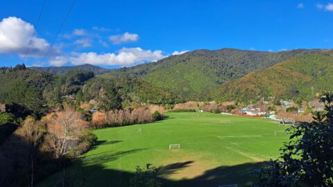
Richard Prouse Park on a Sunny Winter Day
/ / Photos / 0
On a bright winter day at Richard Prouse Park in Wainuiomata, the clear, crisp air creates ideal conditions for...
-
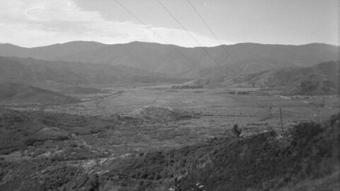
Wainuiomata Valley View circa 1949
/ / Photos / 0
Looking at Wainuiomata Valley from atop Wainuiomata Hill circa 1949 reveals the absence of suburbs. The valley contains mostly...
-
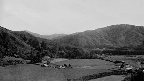
Richard Prouse Park in the 1880s
/ / History, Photos / 0
1880s view of the site where Richard Prouse Park in Wainuiomata is located. This view shows a number...
SEARCH
RANDOM POST
TIMELINE
PAGES
- Wainuiomata
- History
- General History
- Historic Sites
- Hidden Sites
- Kittyhawk Plane Wreckage
- Wainuiomata Tunnel
- Waiwhetu Tunnel
- Black Creek Tunnel
- Sinclair Tunnel
- Colemans Tunnel
- Meter House
- Water Race
- Scour Pipe
- Earth Bridge
- Power Generator
- Horse Powered Log Arch Cart
- Skerretts Creek Water Catchment
- Concrete Water Tanks
- Mount Crowther Track Water Tanks
- Scout / Pearson Hut
- Workers Huts
- The Black House
- Infrastructure
- Buildings
- Industries
- Notable People
- Waterworks
- Rivers
- Walks
- Official Tracks
- Unofficial Tracks
- Bivy Track
- ECNZ Power Pylon Track
- Gawler Reservoir Track
- Hine Road Track
- Maintenance Track
- McKerrow Ridge Track
- Mill to Moness Track
- Mount Crowther Track
- Old Nikau Creek Track
- Old Whakanui Track
- Scholes Creek Track
- Scour Pipe Track
- Sinclair Track
- Solomon Track
- Spear Cut Track
- Sunny Grove Track
- Water Race Track
- Reserves
- All Reserves & Parks
- Remutaka Forest Park
- Catchpool Valley
- Wainuiomata Regional Park
- Hine Road Recreation Area
- Harry Todd Recreation Reserve
- Richard Prouse Park
- Poole Crescent Reserve
- Rotary Park
- Wainuiomata Scenic Reserve
- Queen Street Reserve
- Bryan Heath Park
- Ngaturi Park
- Brookfield
- Camp Wainui
- Turakirae Head Scientific Reserve
- Puketahā Wildlife Sanctuary
- Wainuiomata Trees
- All Reserves & Parks
- About Us
WAINUIOMATA MUSEUM


