Image sourced from LINZ Data Service and is licensed for reuse under the CC BY 4.0 licence.
Aerial and ground based images showing the property and homes belonging to the Sinclair family of Wainuiomata.
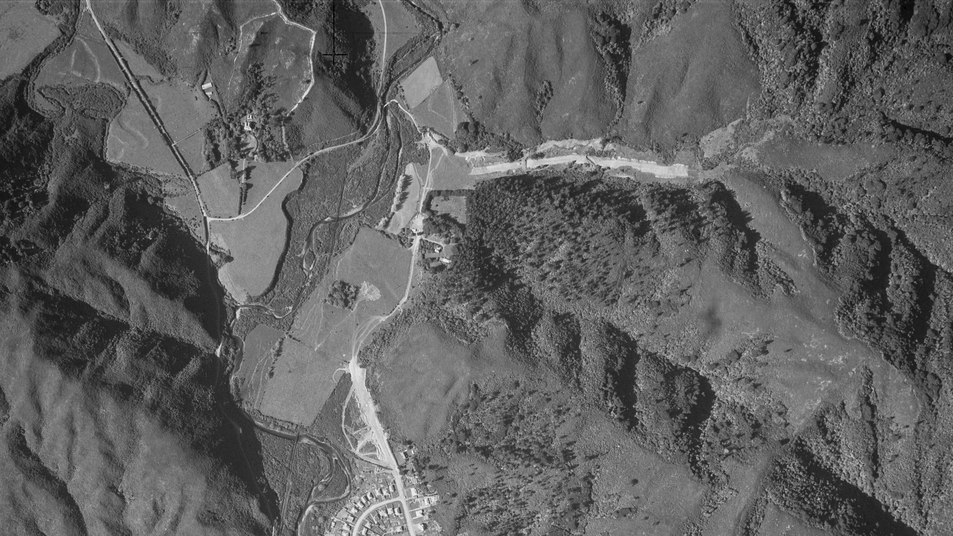
A collection of photographs, including both aerial and ground-level views, dating back to the 1880s. The aerial images specifically come from 1941, 1942, and 1954. Visible in these photographs are four homes once owned by the Sinclair family. The Sinclair Cemetery is also present, though difficult to spot unless you know its exact location beforehand. The photos show, Glenhill, Northbrook, Moness, and Sinclair House . Only Sinclair House and a small part of Glenhill remain today.
In the aerial photographs, Glenhill appears within a rectangular boundary that includes where Willis Grove is now. Northbrook, with its distinctive circular front yard, once stood where Whitcher Grove is today. Moness is identifiable by a perimeter of trees forming a rough square, now part of Richard Prouse Park. Sinclair House, located roughly midway along Hine Road, still stands today.
All photos of homes belonging to the Sinclair family and located on their large property can be seen in the image gallery below.


