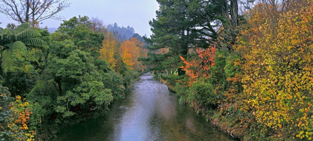
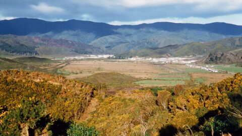
A view of the Wainuiomata River from the Main Road Bridge in Homedale. This area was deforested in the 1860s and subsequently planted with many deciduous trees, resulting in a vibrant display of colours in spring and autumn.
Wainuiomata River in Autumn
-
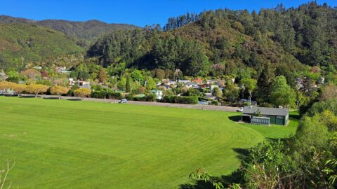
View of Richard Prouse Park and Hine Road
/ / Photos / 0
A view of Richard Prouse Park and the Wainuiomata AFC clubrooms, with Hine Road also visible. You can also...
-
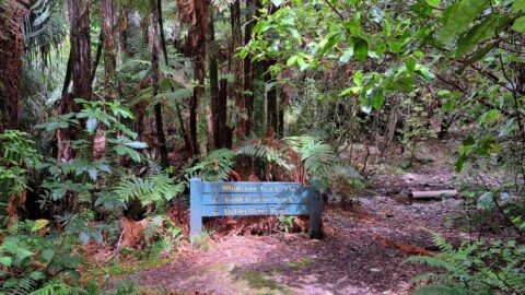
Whakanui Track Sign
/ / Photos / 0
Looking at a sign on the Whakanui Track indicating the direction of the track as well as other tracks....
-
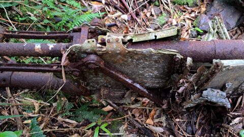
Kittyhawk Landing Gear Wreckage
/ / Photos / 0
This is part of a plane wreck, specifically the landing gear, from a kittyhawk that crashed in 1943. Other...
-
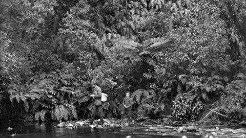
Fisherman at Wainuiomata in 1888
/ / Photos / 0
A fisherman and possibly his son, is pictured along what is likely Wainuiomata River. Could be near Reservoir Road...
-
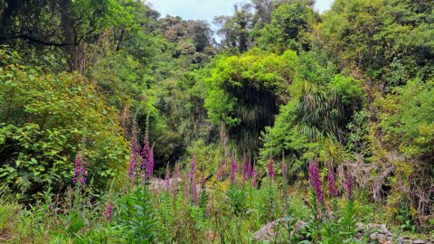
Skerretts Creek Valley
/ / Photos / 0
There is no track here, but trekking up Skerretts Creek involves a lot of rock hopping. Eventually it opens...
-
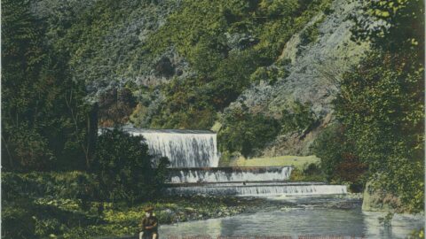
Lower Dam 1905 Postcard
/ / Photos / 0
Postcards featuring this picturesque view of the spillway date back to 1905. They were widely circulated, along with other...
-
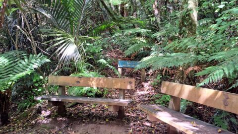
Nikau Track View
/ / Photos / 0
At the end of Nikau Creek Track are two wooden bench seats. The track is an easy 30 minute...
-
Wainuiomata Valley View in 1958
/ / History, Photos / 0
A color image of the Wainuiomata Valley from the summit of Wainuiomata Hill. While there is housing, Parkway is...
SEARCH
RANDOM POST
TIMELINE
PAGES
- Wainuiomata
- History
- General History
- Historic Sites
- Hidden Sites
- Kittyhawk Plane Wreckage
- Wainuiomata Tunnel
- Waiwhetu Tunnel
- Black Creek Tunnel
- Sinclair Tunnel
- Colemans Tunnel
- Meter House
- Water Race
- Scour Pipe
- Earth Bridge
- Power Generator
- Horse Powered Log Arch Cart
- Skerretts Creek Water Catchment
- Concrete Water Tanks
- Mount Crowther Track Water Tanks
- Scout / Pearson Hut
- Workers Huts
- The Black House
- Infrastructure
- Buildings
- Industries
- Notable People
- Waterworks
- Rivers
- Walks
- Reserves
- All Reserves & Parks
- Remutaka Forest Park
- Catchpool Valley
- Wainuiomata Regional Park
- Hine Road Recreation Area
- Harry Todd Recreation Area
- Richard Prouse Park
- Poole Crescent Reserve
- Rotary Park
- Wainuiomata Scenic Reserve
- Queen Street Reserve
- Bryan Heath Park
- Ngaturi Park
- Brookfield
- Camp Wainui
- Turakirae Head Scientific Reserve
- Puketahā Wildlife Sanctuary
- Wainuiomata Trees
- All Reserves & Parks
- About Us
| M | T | W | T | F | S | S |
|---|---|---|---|---|---|---|
| 1 | 2 | |||||
| 3 | 4 | 5 | 6 | 7 | 8 | 9 |
| 10 | 11 | 12 | 13 | 14 | 15 | 16 |
| 17 | 18 | 19 | 20 | 21 | 22 | 23 |
| 24 | 25 | 26 | 27 | 28 | 29 | 30 |
| 31 | ||||||
WAINUIOMATA MUSEUM


