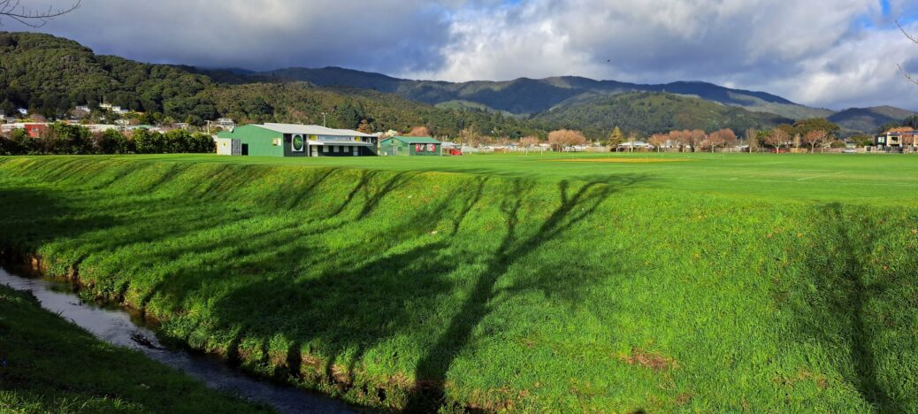
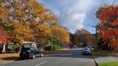
View of Bryan Heath Park
-
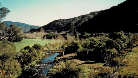
Top Pool Bridge in 1989
/ / Photos / 0
View of an under construction Top Pool Bridge with Hine Road Recreation Area in view. The bridge connects the...
-
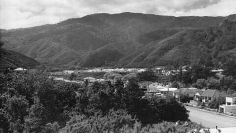
Lower Moores Valley Road in 1957
/ / Photos / 0
Looking at the western end of Moores Valley Road Wainuiomata in 1957. Hine Road can be seen in the...
-
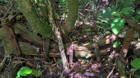
Horse Powered Log Arch Cart
/ / History, Photos / 0
This old log arch cart lies hidden in the bush of Reservoir Valley, serving as a historical relic of...
-
Rock Pool in Wainuiomata
/ / News, Photos / 0
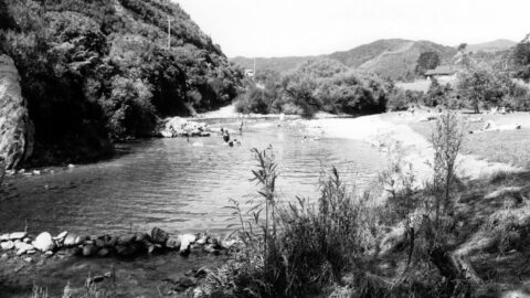
Rock Pool is situated in Richard Prouse Park, near the driveway entrance from Hine Road. It gets its name...
-
The History of Homedale Road
/ / History, Photos / 0
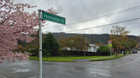
Homedale Road is named after Homedale, the oldest area in Wainuiomata. The name signifies a house located in a...
-
The History of Hine Road
/ / History, Photos / 0
Hine Road, nestled in the heart of Homedale in Wainuiomata, extends from Main Road and culminates at Hine Road...
-
Aerial View of Morton Dam in 1924
/ / Photos / 0
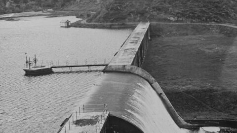
Aerial view of Morton Dam in the year 1924. You can see the spillway, tower with gantry, and reservoir...
-
Pump Station
/ / History, Photos / 0
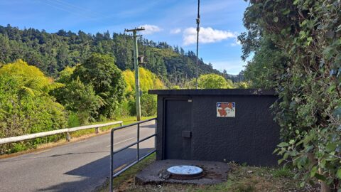
The pumping station on Reservoir Road plays a vital role in distributing water throughout the Wainuiomata water network.
SEARCH
RANDOM POST
TIMELINE
PAGES
- Wainuiomata
- History
- General History
- Historic Sites
- Hidden Sites
- Kittyhawk Plane Wreckage
- Wainuiomata Tunnel
- Waiwhetu Tunnel
- Black Creek Tunnel
- Sinclair Tunnel
- Colemans Tunnel
- Meter House
- Water Race
- Scour Pipe
- Earth Bridge
- Power Generator
- Horse Powered Log Arch Cart
- Skerretts Creek Water Catchment
- Concrete Water Tanks
- Mount Crowther Track Water Tanks
- Scout / Pearson Hut
- Workers Huts
- The Black House
- Infrastructure
- Buildings
- Industries
- Notable People
- Waterworks
- Rivers
- Walks
- Official Tracks
- Unofficial Tracks
- Bivy Track
- ECNZ Power Pylon Track
- Gawler Reservoir Track
- Hine Road Track
- Maintenance Track
- McKerrow Ridge Track
- Mill to Moness Track
- Mount Crowther Track
- Old Nikau Creek Track
- Old Whakanui Track
- Scholes Creek Track
- Scour Pipe Track
- Sinclair Track
- Solomon Track
- Spear Cut Track
- Sunny Grove Track
- Water Race Track
- Reserves
- All Reserves & Parks
- Remutaka Forest Park
- Catchpool Valley
- Wainuiomata Regional Park
- Hine Road Recreation Area
- Harry Todd Recreation Reserve
- Richard Prouse Park
- Poole Crescent Reserve
- Rotary Park
- Wainuiomata Scenic Reserve
- Queen Street Reserve
- Bryan Heath Park
- Ngaturi Park
- Brookfield
- Camp Wainui
- Turakirae Head Scientific Reserve
- Puketahā Wildlife Sanctuary
- Wainuiomata Trees
- All Reserves & Parks
- About Us
WAINUIOMATA MUSEUM


