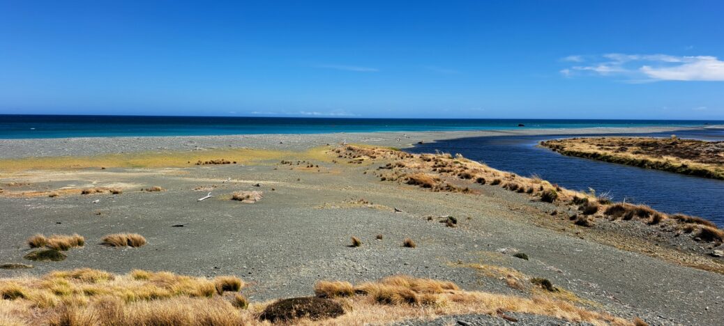
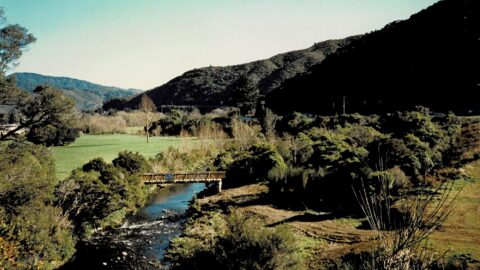
View of the Wainuiomata River as it flows into the south coast. This area is rugged and wind-swept, but despite that, swimming in the river in summer is pleasant.
Wainuiomata River and Coast
-
Old Whakanui Track Entrance
/ / News, Photos / 0
Most people walking on the Whakanui Track will start at the top of Sunny Grove. But the track use...
-
View From The Rock
/ / Photos / 0
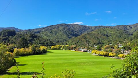
This view over eastern Homedale, including Richard Prouse Park, has been a popular vantage point for photography since the...
-
Whakanui Track Sign
/ / Photos / 0
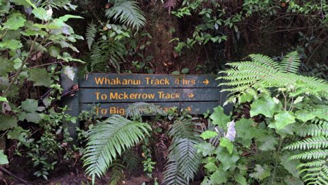
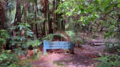
Looking at a sign on the Whakanui Track indicating the direction of the track as well as other tracks....
-
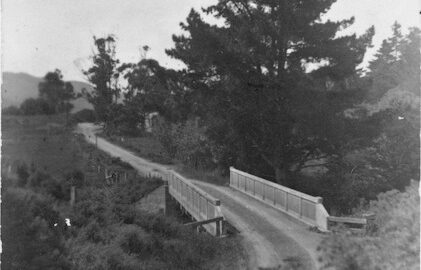
Wainuiomata School Bridge
/ / Photos / 0
Charles Seymer Whitcher constructed a single-lane concrete bridge across the Wainuiomata River in the year 1916.
-
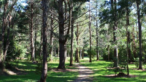
Gums Loop in 2009
/ / Photos / 0
Pictured is a meadow on the Gums Loop Track in the year 2009. Gums Loop Track has existed as...
-
Top Pool Bridge in 1989
/ / Photos / 0
View of an under construction Top Pool Bridge with Hine Road Recreation Area in view. The bridge connects the...
-
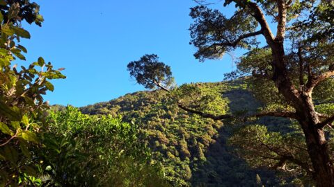
View from the Old Whakanui Track
/ / Photos / 0
This view can be seen from the Old Whakanui Track. The track’s entrance is mostly hidden from view as...
-
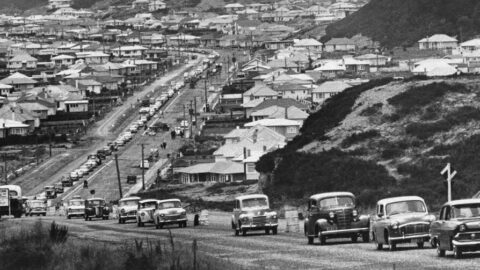
Cars Driving on Newly Sealed Road in 1964
/ / Photos / 0
A line of vehicles traversing a freshly paved stretch of Wainuiomata Road as it climbs up Wainuiomata Hill.
SEARCH
RANDOM POST
TIMELINE
PAGES
- Wainuiomata
- History
- General History
- Historic Sites
- Hidden Sites
- Kittyhawk Plane Wreckage
- Wainuiomata Tunnel
- Waiwhetu Tunnel
- Black Creek Tunnel
- Sinclair Tunnel
- Colemans Tunnel
- Meter House
- Water Race
- Scour Pipe
- Earth Bridge
- Power Generator
- Horse Powered Log Arch Cart
- Skerretts Creek Water Catchment
- Concrete Water Tanks
- Mount Crowther Track Water Tanks
- Scout / Pearson Hut
- Workers Huts
- The Black House
- Infrastructure
- Buildings
- Industries
- Notable People
- Waterworks
- Rivers
- Walks
- Official Tracks
- Unofficial Tracks
- Bivy Track
- ECNZ Power Pylon Track
- Gawler Reservoir Track
- Hine Road Track
- Maintenance Track
- McKerrow Ridge Track
- Mill to Moness Track
- Mount Crowther Track
- Old Nikau Creek Track
- Old Whakanui Track
- Scholes Creek Track
- Scour Pipe Track
- Sinclair Track
- Solomon Track
- Spear Cut Track
- Sunny Grove Track
- Water Race Track
- Reserves
- All Reserves & Parks
- Remutaka Forest Park
- Catchpool Valley
- Wainuiomata Regional Park
- Hine Road Recreation Area
- Harry Todd Recreation Reserve
- Richard Prouse Park
- Poole Crescent Reserve
- Rotary Park
- Wainuiomata Scenic Reserve
- Queen Street Reserve
- Bryan Heath Park
- Ngaturi Park
- Brookfield
- Camp Wainui
- Turakirae Head Scientific Reserve
- Puketahā Wildlife Sanctuary
- Wainuiomata Trees
- All Reserves & Parks
- About Us
WAINUIOMATA MUSEUM


