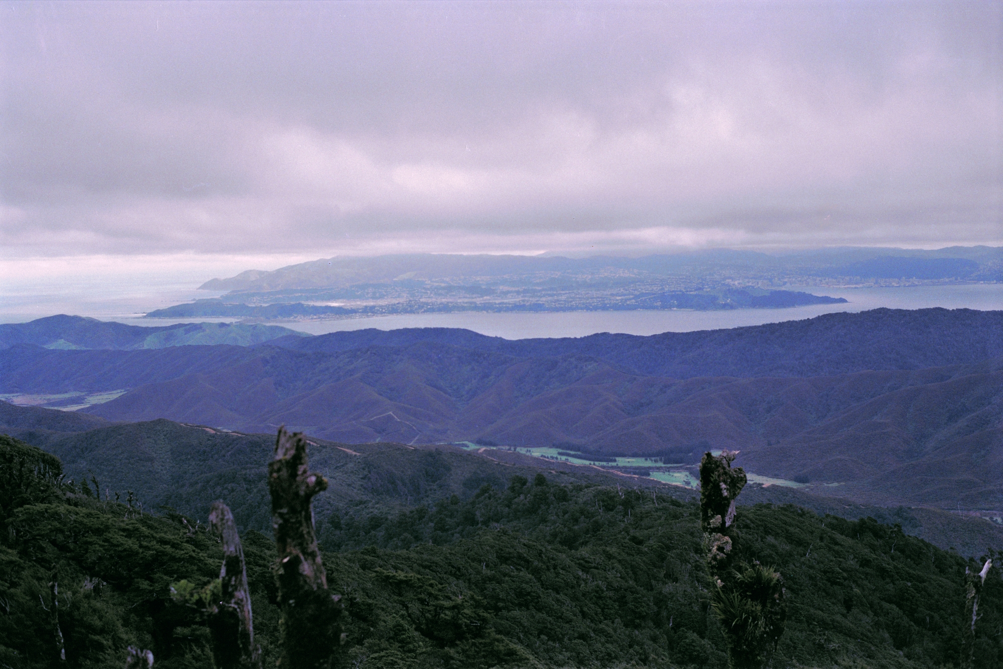
Pictured is a view toward Wellington from atop the Whakanui Track in 1989.
In view is the valley where Coast Road is located with the entrance in Wellington Harbour further out. Wellington city can be seen in the background.
In view is the valley where Coast Road is located with the entrance in Wellington Harbour further out. Wellington city can be seen in the background.


Support Wainuiomata.Net with a donation and help us continue to uncover local history, capture photos, drink coffee, and promote Wainuiomata.

| M | T | W | T | F | S | S |
|---|---|---|---|---|---|---|
| 1 | ||||||
| 2 | 3 | 4 | 5 | 6 | 7 | 8 |
| 9 | 10 | 11 | 12 | 13 | 14 | 15 |
| 16 | 17 | 18 | 19 | 20 | 21 | 22 |
| 23 | 24 | 25 | 26 | 27 | 28 | 29 |
| 30 | 31 | |||||
Support Wainuiomata.Net with a donation and help us continue to uncover local history, capture photos, drink coffee, and promote Wainuiomata.
© 2026 virtualtopia.com
