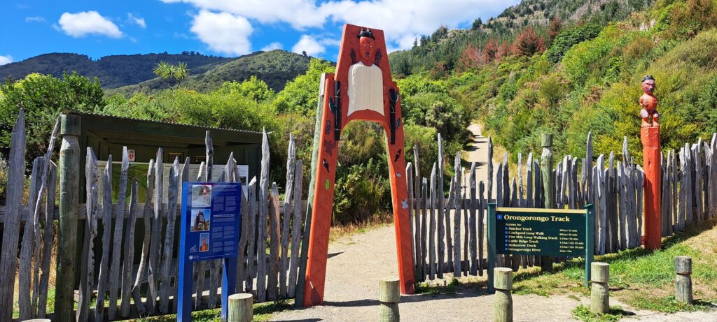
Wainuiomata stands as an idyllic destination for short bush walks and tramping adventures.
Visit Wainuiomata and embark on a walk through rainforests of podocarp and beech that carpet hills and valleys. See the Remutaka Forest Park, Wainuiomata Regional Park, and the southern coastline. Or trek over forested hills between Wainuiomata and Eastbourne and the Hutt Valley.
The tracks listed below are maintained by Greater Wellington Regional Council (GWRC). However, there are also numerous unofficial tracks not on this page.
The more popular Wainuiomata walks in alphabetical order are:
- Baring Head Loop;
- Big Bend Track;
- Butcher Track;
- Catchpool Loop Walk;
- Five Mile Loop Track;
- Gums Loop Track;
- Kereru Road Track;
- Korimako Road Track;
- Lower Dam Walk;
- Main Ridge Track;
- McKerrow Track;
- Middle Ridge Track;
- Orongorongo Track;
- Rata Ridge Track;
- Whakanui Track;
All official tracks are listed below.
Baring Head Loop
Baring Head Loop is a 6.6-kilometer loop track close to Wainuiomata. Generally regarded as moderately challenging, it typically takes around 1 hour and 30 minutes to finish. This is a leisurely walk that offers solitude amongst bird song and native bush. Dogs are not allowed on this walk.
Big Bend Track
The Big Bend Track is a 6.8-kilometer round trip trail close to Wainuiomata. Regarded as moderately challenging, it usually takes about 2 hours to finish. It’s ideal for a hiking or camping. It offers a secluded experience with few encounters with others. Dogs need to be leashed.
Butcher Track
Butcher Track is 4.8-kilometer track near Wainuiomata. It is considered a challenging walk that takes around 2 hours to complete. Dogs must be leashed.
Catchpool Loop Walk
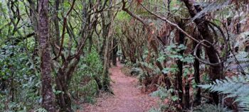 The Catchpool Loop Walk offers a scenic journey through a diverse podocarp forest. It’s a great introduction to the Remutaka Forest Park and is ideal for family day outings, complete with picnic spots. Completing the walk at a relaxed pace usually takes about 40 minutes.
Five Mile Loop Track
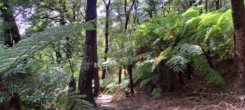 The Five Mile Loop Track is a 3.9-km loop track near Wainuiomata. Considered an easy walk, it takes about 1 hour to traverse and connects to other tracks for the 30 minute return. It offers moments of solitude despite being popular. Dogs must be leashed.
Gums Loop Walk
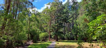 Gums Loop Track is an easy 3.1-kilometer loop trail in Wainuiomata. It typically takes about 40 minutes to finish. Around half the walk is a non-public sealed road and path suitable for children even prams. There are a number of swimming areas onroute and a swing bridge that spans the Wainuiomata River. Dogs must be leashed.
Kereru Road Track
Kereru Road Track is a 1.8-km round trip walk in Wainuiomata. It’s considered a moderate walk that takes about 50 minutes to complete.
Korimako Road Track
Korimako Road Track is a 2.4-km round trip walk in Wainuiomata. It’s a moderately walk that usually taking around 1 hour and 20 minutes to finish. It’s a popular walk for both runners and walkers.
Lower Dam Walk
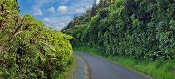 Lower Dam Walk is a one hour 3.2km easy walk from the Reservoir Road to the Lower Dam return. Nearby is a wetlands and water museum. The walk is also suitable for bikes and wheelchairs.
Main Ridge Track
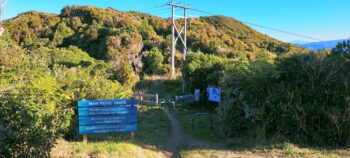 Main Ridge Track is a 2.5 hour walks from Wainuiomata Lookout to Days Bay on the coast of Wellington Harbour. It takes you through podocarp and beech forests with views below through the trees.
McKerrow Track
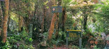 The Mt McKerrow Track spans 14.3 kilometers and is located in Wainuiomata. It is a challenging route and takes about 5 and a half hours to complete. The track offers seclusion and minimal encounters with other hikers. Dogs are not permitted on this track.
Middle Ridge Track
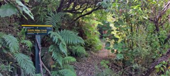 Middle Ridge Track is a leisurely 1-hour return walking track that seamlessly connects with two well-frequented tracks in the picturesque Catchpool Valley. Nestled within this serene valley, the track spans 3.2 kilometers and brings you back along the same path.
Mt Matthews Track
The Mt Mathews Track, spanning 7.7 kilometers, is located in Wainuiomata. It is a challenging route, taking around 12 hours for a return trip. The track is steep near the peak, offering amazing views as the mountain is the highest in the Remutaka range.
Nikau Creek Track
Orongorongo Track
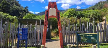 The Ōrongorongo Track is a popular walking track in the Wellington region, acting as the main access point to the picturesque Remutaka Forest Park. Spanning 10 kilometers, this moderately challenging track typically requires about 2 hours and 45 minutes to complete in one direction.
Rata Ridge Track
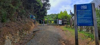 The Rata Ridge Track, a moderately challenging 13.5-kilometer loop walk, usually takes about 4 hours and 15 minutes to complete. Known for its tranquil setting, it provides a chance for a peaceful walk with few encounters with others. You are welcome to bring dogs along, provided they are on a leash.
Sledge Track
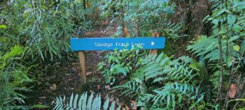 Sledge Track (round trip takes about 1 hour and 30 minutes), winds its way through untouched native bush, and traverses a historical logging route alongside rejuvenating forest adjacent to Sledge Track Creek. This scenic trail leads to a lookout point offering panoramic views of the Wainuiomata Valley before circling back.”
Tana Umaga Track
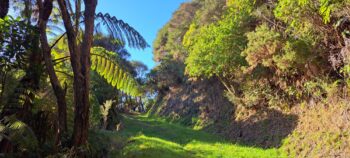 The Tana Umaga Track is a challenging but short walk (2.40 km) that provides pleasant views of Lower Dam and the upper Wainuiomata River valley. It’s a loop walk that combines with Sledge Track.
Whakanui Track
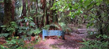 The Whakanui Track covers a 17.1-kilometer round trip in Wainuiomata. It presents a challenging path that typically requires around 7 hours to complete. Encounters with other hikers along this track are infrequent. While dogs are permitted, they must be leashed.
Unofficial Tracks
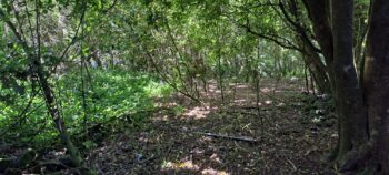 Numerous old tracks, though abandoned or rerouted, still remain. While they receive little to no maintenance, it can take a long time for the bush to fully reclaim them. This section lists several unofficial tracks that you can still navigate, but you walk them at your own risk.

