On the southern slopes of Reservoir Valley, faint traces of old survey tracks still wind through the bush.
High on the southern slopes of Reservoir Valley lies a series of faint track networks, remnants of geological survey routes cut through the bush in the 1970s and 80s. These paths, now softened by decades of regrowth, were once part of studies exploring the feasibility of damming the Wainuiomata River to provide Wellington with a new dam.
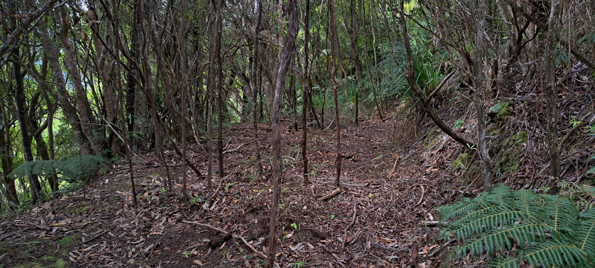
Survey crews carved narrow access lines through the steep terrain, carrying seismographs, refraction gear and other instruments. Though the dam was never built, traces of those survey lines remain with shallow bench cuts, overgrown clearings and subtle contours visible to a careful eye.
These were never walking tracks in the recreational sense. They were made for function, not comfort, and the ground still shows it with rough, uneven and interrupted by slips and exposed rock. In places, the forest has almost reclaimed them entirely; in others, surprisingly open corridors persist beneath the canopy. Hidden and largely forgotten, these survey routes stand as quiet reminders of a period when engineers once envisioned reshaping the valley below.


DISCUSSION