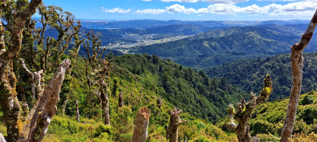
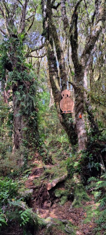
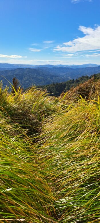
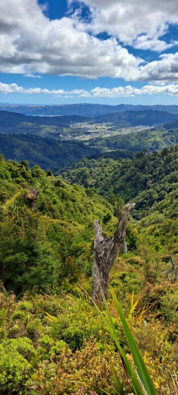
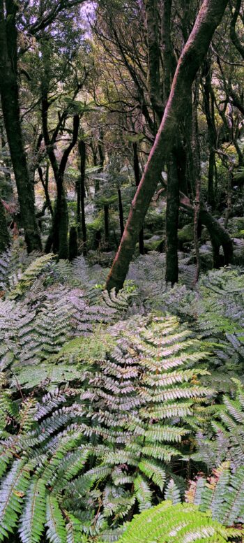
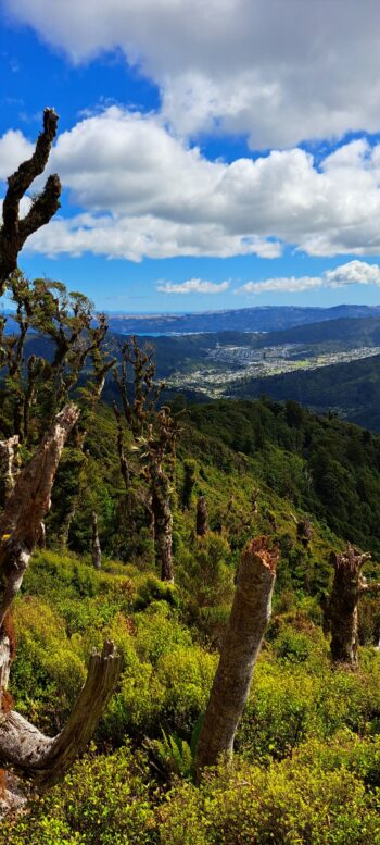
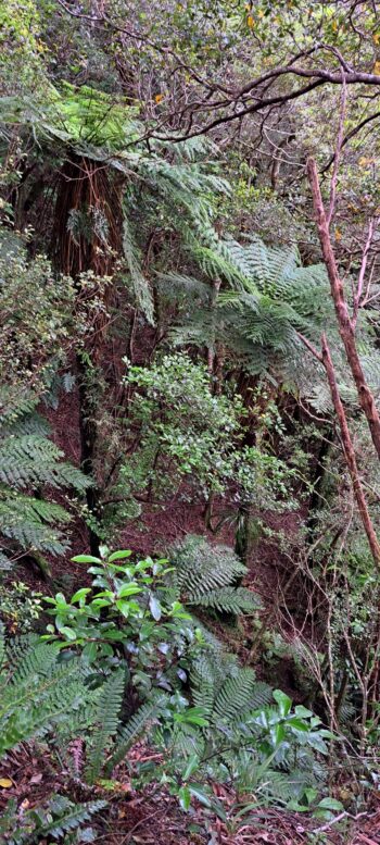
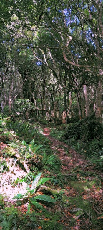
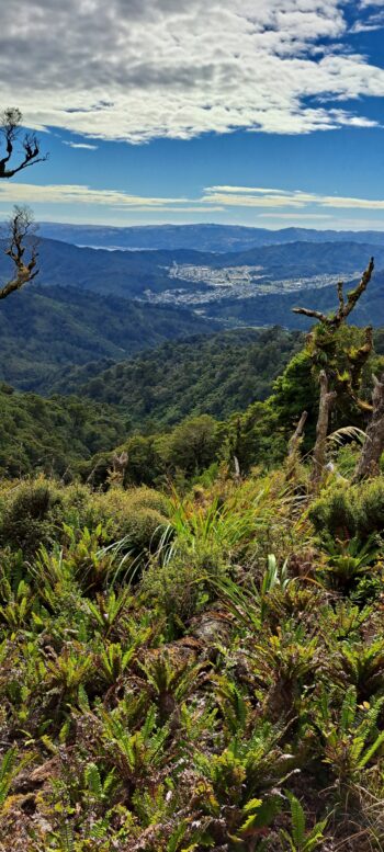
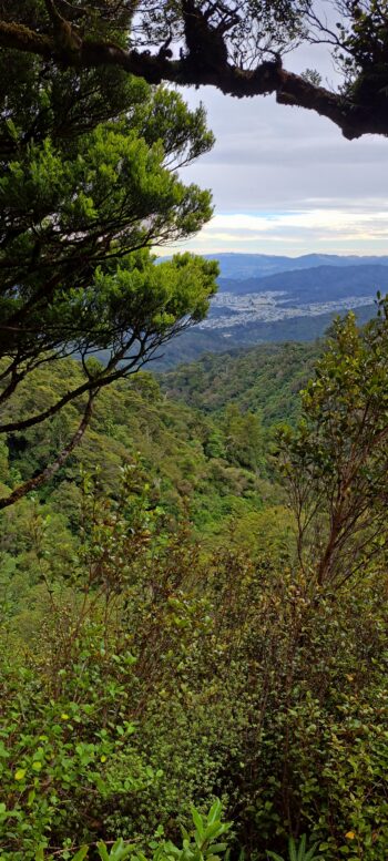
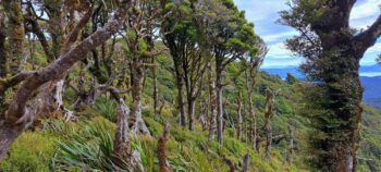
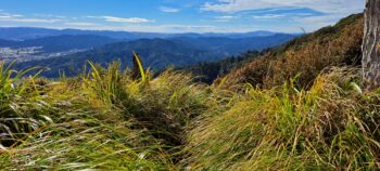
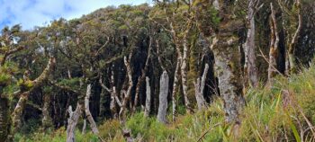
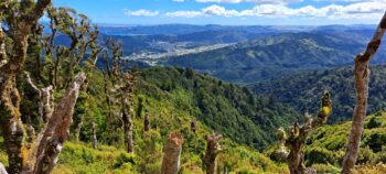
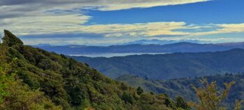
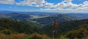
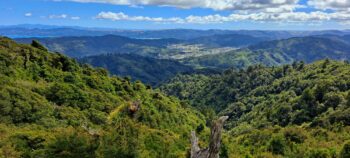
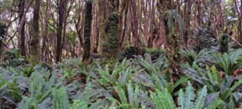
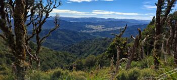
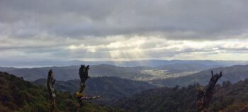
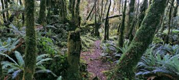
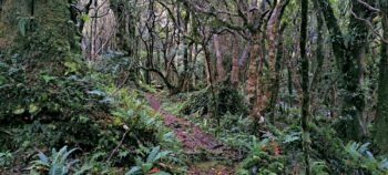
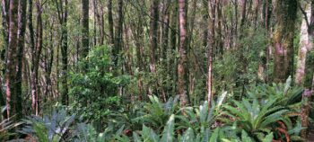
The McKerrow Track traverses a ridge and offers scenic vistas of Wainuiomata, Hutt Valley, & Wellington.
The McKerrow Track, stretches across around 14 kilometers, requiring about 5 – 6 hours, there and back. It’s known as a challenging walk, but offers seclusion and limited encounters with other people, and no dogs. One highlight of the walk is Mount McKerrow at an elevation of 706m. Along the walk and atop the peak, the views are stunning. The expansive vistas on offer reveal Wainuiomata, the Wellington Region, and even the mountains of the South Island. It is a challenging route that connects with a number of other better maintained tracks like the Whakanui Track above Sunny Grove and the Orongorongo Track in Catchpool Valley. You can also walk a loop from Catchpool Valley if you include the Orongorongo Track and Clay Ridge Track.
The McKerrow Track has evolved over the years. It originally had an entrance on Coast Road near Hine Road and ascended Crowther Peak from there. The track eventually connected to the Five Mile Track, now known as the Orongorongo Track. A section of the original McKerrow Track, no longer part of the current route, is still in use. Known as the Old McKerrow Track or McKerrow Ridge Track, this section traverses land owned by the Boys’ Brigade.
Credits
Special thanks to Lance Stewart for some information in this article.

