The Old Whakanui Track offers an alternative route to ascend a ridge and links to the present Whakanui Track.

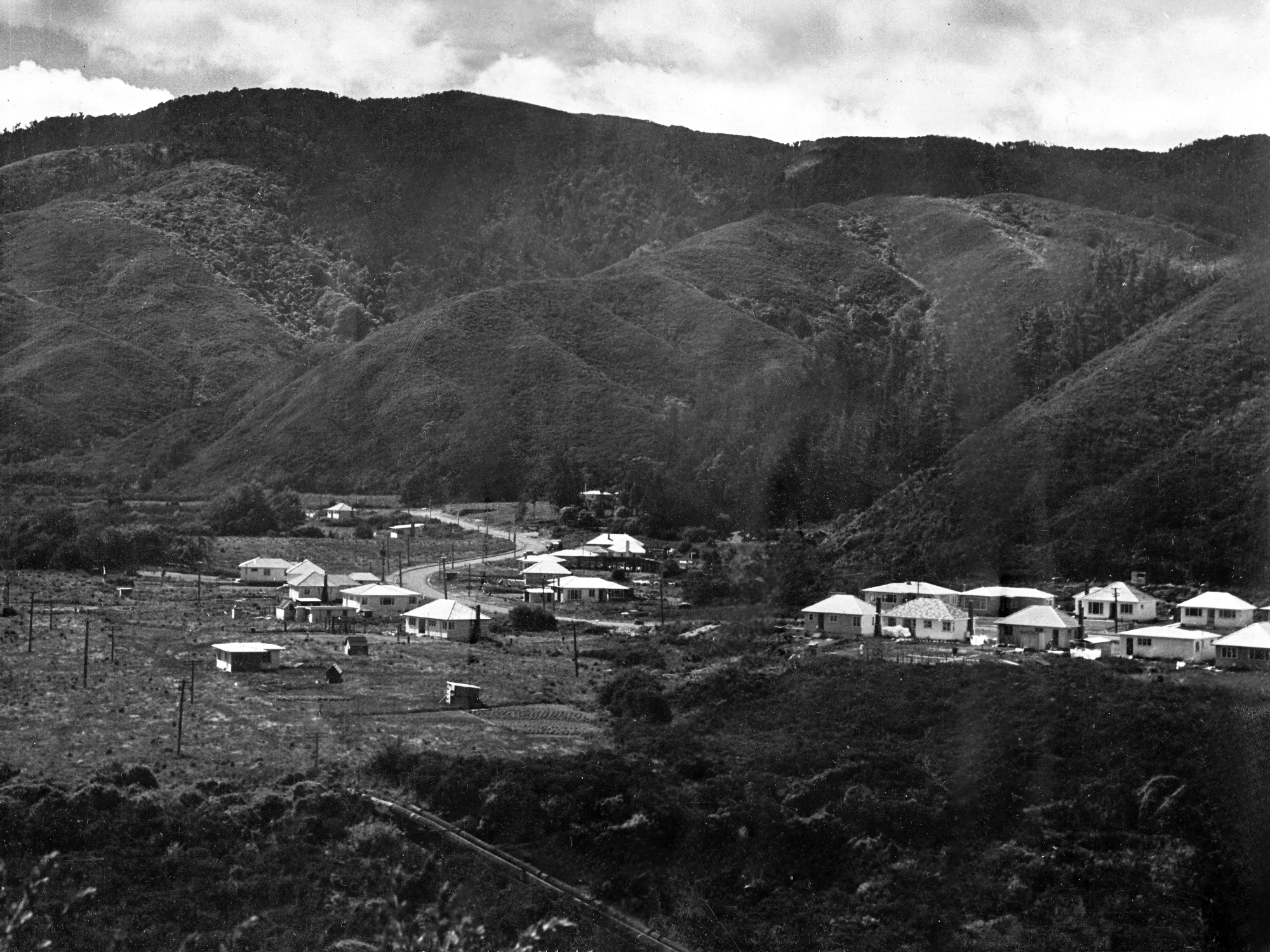
Original Whakanui Track can be seen in this late 1950s photo.
The original Whakanui Track is understood to have begun as a Māori trail. According to a longstanding local resident, its earliest alignment climbed the hillside east of Nikau Creek Gully. When that route became choked with gorse, the track was shifted into Nikau Creek Gully itself. It was later relocated again near what is now known as the Sinclair Cemetery, although the cemetery had not yet been formally recognised at the time. In due course, the entrance to the Whakanui Track was moved to Skerretts Valley, above Sunny Grove, where it remains today.
For clarity, the Old Whakanui Track referred to here is the section that begins within Nikau Creek Gully and ascends the eastern flank of the gully. It eventually rejoins the main Whakanui Track, which continues on towards the Orongorongo Valley. In contrast to the current Whakanui Track, this earlier alignment is narrower, steeper and largely unmaintained.
The old route is not signposted and is partially concealed. A small cairn has at times marked the entrance from Nikau Creek Track, although these stones are occasionally removed, possibly by staff servicing the bait stations in the area. The entrance lies 547 metres along Nikau Creek Track from the signpost at the Gums Loop Track junction.
By combining the old and present Whakanui alignments, it is possible to form a demanding loop walk. This requires incorporating Gums Loop Walk, a section of Nikau Creek Track, and on the return leg, the the older Whakanui section behind Sunny Grove (Sunny Grove Track) to complete the circuit.
Special thanks to Lance Stewart for sharing the track’s location and its distance from the entrance to Nikau Creek Track.


DISCUSSION