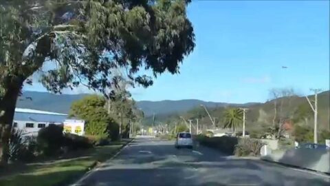
Driving over the Wainuiomata Hill in 2015 from Gracefield to the roundabout on the Wainuiomata side of the hill.
Wainuiomata: Streets
Discover the streets of Wainuiomata in Lower Hutt and observe the numerous changes over the years, with photos dating back to 1939.
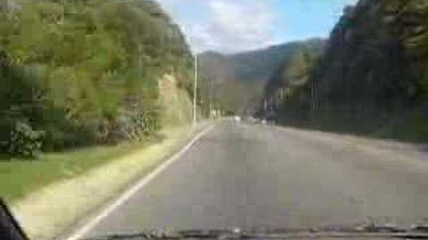
Driving over the Wainuiomata Hill back in 1988. The expansion of the road to accommodate four lanes had recently...
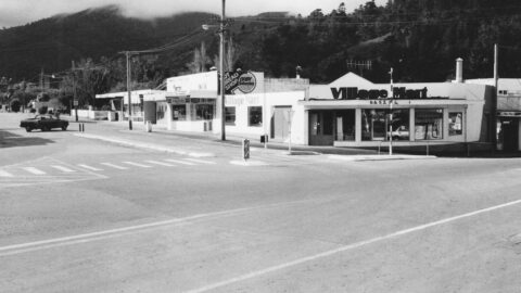
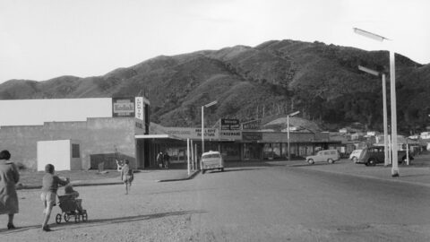
In 1989, numerous shops thrived within The Village, creating a lively hub of activity. Today, The Village stands at...
Driving over the Wainuiomata Hill back in 1988. The expansion of the road to accommodate four lanes had recently...
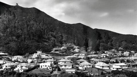
Gazing down on Sunny Grove from the Mount Crowther Track in 1988, the firebreak and track behind the odd-numbered...
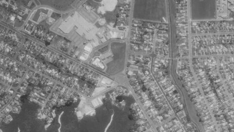
Aerial photos showing the first intersection upon entering Wainuiomata, where Main Road meets Fitzherbert Road.
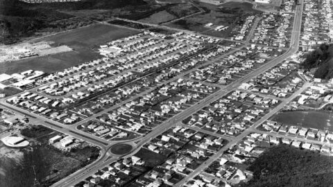
A 1971 aerial view of Wainuiomata shows Parkway College, now called Wainuiomata High School, under construction on the far...
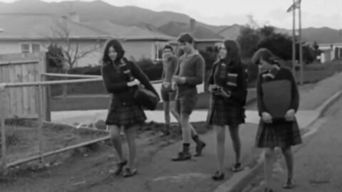
This 5-minute video, filmed in 1971, showcases Wainuiomata and discusses the issues related to suburban sprawl in Wellington.
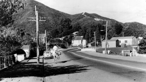
This photograph looks along Main Road in Wainuiomata around the year 1970. Visible in the scene are several older...
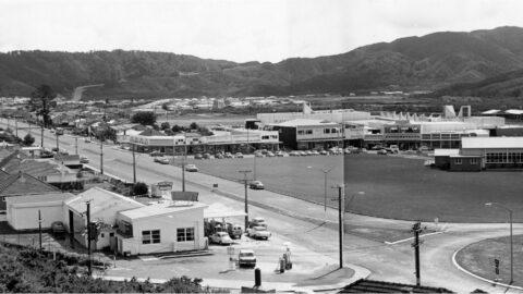
Photo of Wainuiomata Road & Fitzherbert Road (circa 1970) taken Todd, Harry Jackson (1918-1993) of the Wainui-o-mata Development Ltd.
Explore the history of Whitcher Grove, once home to the Sinclair family, known for their mill operation and stately...
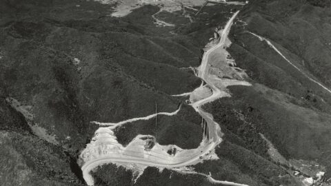
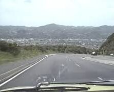
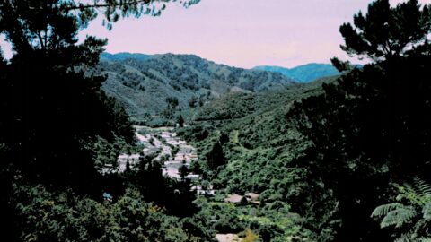
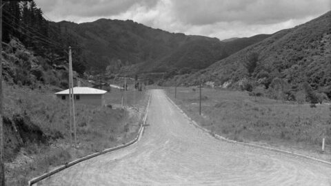
Aerial image of Wainuiomata Road in 1964, showing Wainuiomata Road over the Wainuiomata Hill summit and into the valley.
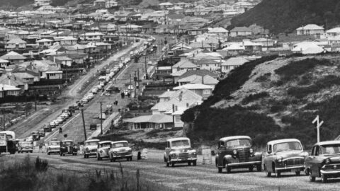
A line of vehicles traversing a freshly paved stretch of Wainuiomata Road as it climbs up Wainuiomata Hill.
Willis Grove traces its origins to the time when the valley was transitioning from farmland and bush into a...
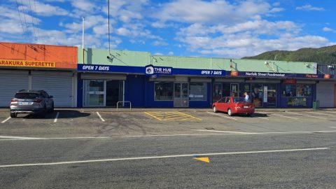
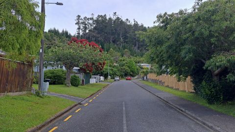
Norfolk Street in Wainuiomata is a local neighbourhood retail strip that took shape in the early 1960s. It serves...
Looking at the second section of Queen Street around the year 1960. Photo is taken on The Strand which...
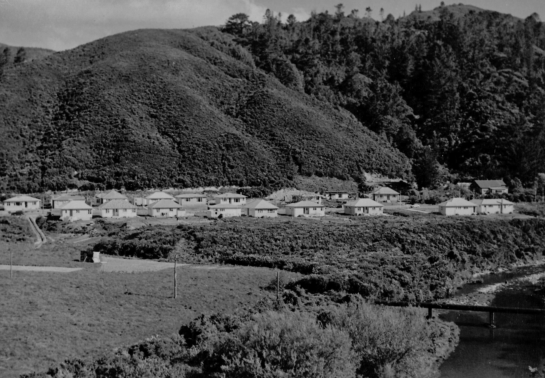
Development of houses took place in the 1960s in Sunny Grove. However, this photo from 1958 shows at...
This photograph looks along Hine Road including Sinclair House in 1958. Sinclair House was built in the 1860s.
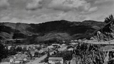
Looking towards Poole Crescent from The Rock, around 1958. Many photos were taken from this spot, as The Rock...
Moores Valley Road, as seen from The Rock around 1958. The Rock was so named for the large rock...
WAINUIOMATA TOURS

Step into the wilderness of Wainuiomata and experience it for yourself. Learn more →.
WAINUIOMATA MUSEUM

Located in Wainuiomata Primary School, it is open 2pm-4pm every Sunday. Learn more →.
BUY ME A COFFEE
Support Wainuiomata.Net with a donation and help us continue to uncover local history, capture photos, drink coffee, and promote Wainuiomata.


DISCUSSION