The image of the Waterworks from 1954 shows both the Lower Dam and Morton Dam. You can see homes...
Wainuiomata: Aerial
Take a photographic journey from the skies or from other elevated locations to witness the transformation of Wainuiomata over the decades. This growing collection of aerial photography provides a captivating visual story of the suburb’s growth and metamorphosis.
Articles here include photos taken from high up vantage points on hillsides, drone footage, as well as photography from aircraft. Among these images, selections from the LINZ Data Service are available for reuse under the CC BY 4.0 licence. These particular photographs will be clearly marked for recognition.
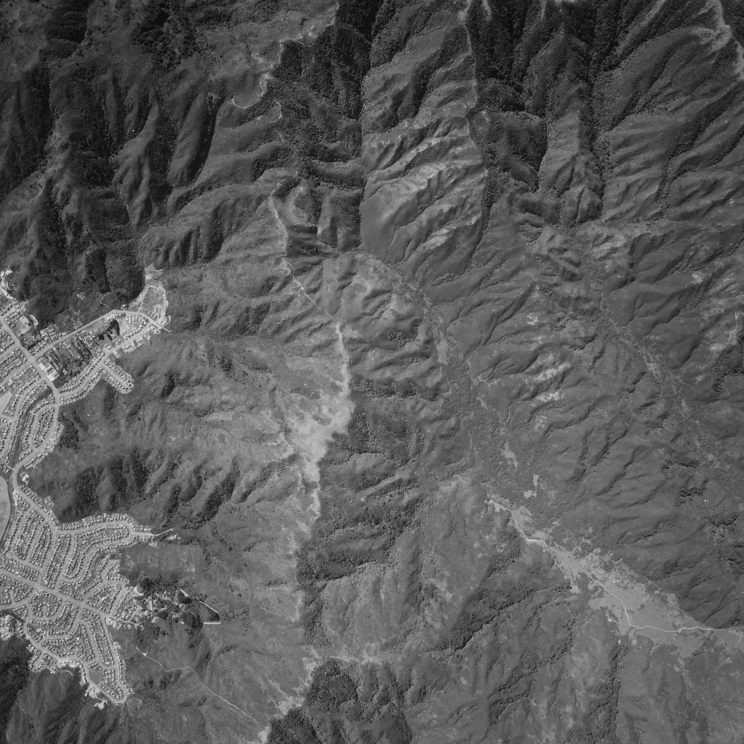
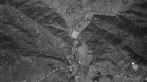
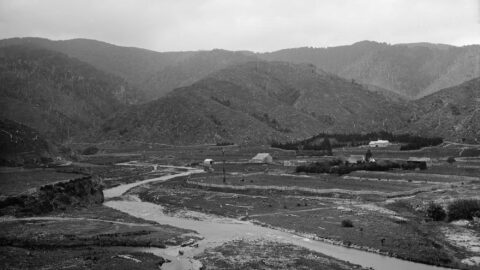
An aerial photograph taken on 30th December 1974 captures the upper Moores Valley and you can see the Strand...
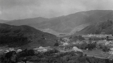
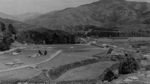
A timeline taken from the same lookout near the car park at the top of the Wainuiomata Hill. Click...
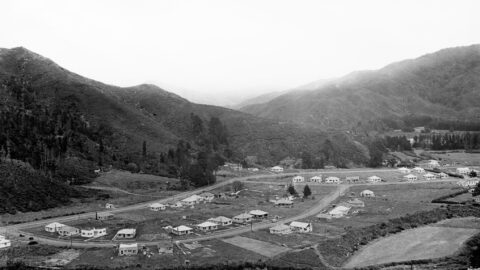
Aerial view of Homedale (circa 1953) showing some interesting features. Inc: Hine Road finishes at the intersection with Poole...
Aerial view of Homedale (circa 1946) showing some interesting features. They are as follows: 23 houses in Poole Crescent;
Aerial view of Homedale (mid 1946) showing some interesting features. They are as follows: 9 houses in Poole Crescent;
The photo shows a view along Rowe Parade, taken from the area where Stanley Street and Sharp Crescent would...
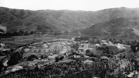
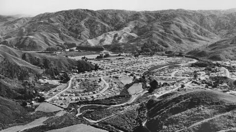
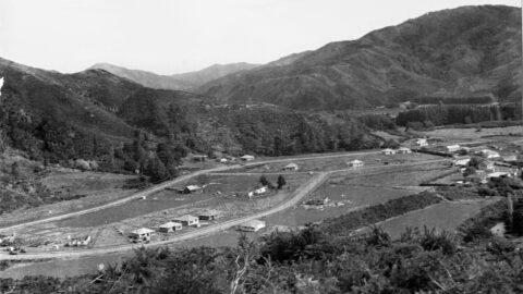
Looking down upon The Village in the year 1946. The outlook encompasses Moores Valley Road, Main Road, and various...
View of Homedale in 1945. Housing development had just begun, with several older farmhouses still visible.
Aerial view of Homedale (circa 1945) showing some interesting features. Inc: old school buildings and Main Road Bridge.

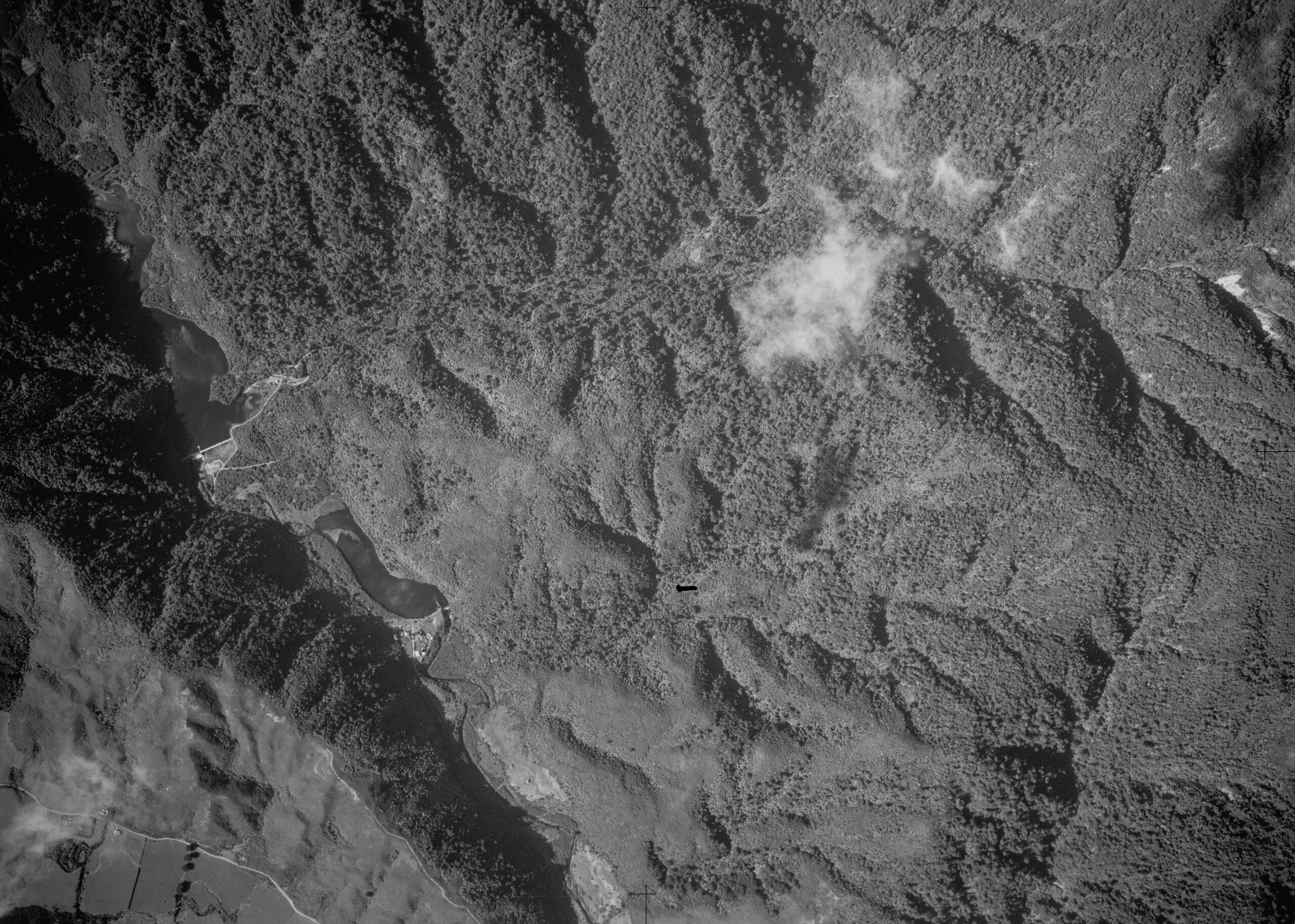
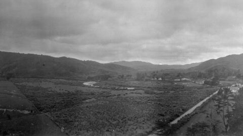
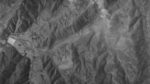
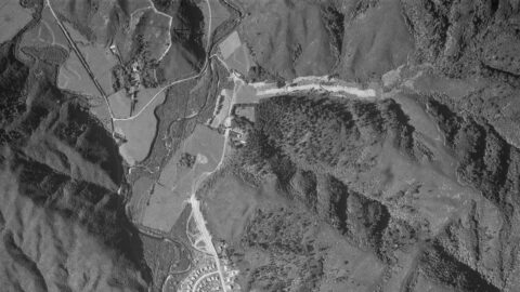
An aerial photograph taken in 1942 Moores Valley and Reservoir Valley, extending up to the old dam. Both valleys...
In the past, Skerretts Creek used to wind through both sides of the Sunny Grove valley. However, the creek...
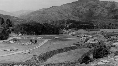
Farmland in Homedale, looking north towards the village from Coast Road. In view are the school, the school house,...
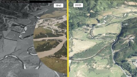
Video footage during World War II that showcases the Wainuiomata River from 1941 compared to 2021. The video also...
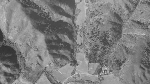
A 1941 aerial photograph of Reservoir Valley, taken before Hine Road was established. The image captures huts that once...
This aerial photograph of Homedale in Wainuiomata taken on 16 of January 1941 shows a number of interesting features.
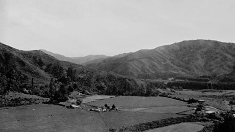
Photo of Homedale taken in 1940, showing the school block surrounded by farmland. Substantial housing started in the 1950s.
Aerial view of Homedale (circa 1940) showing some interesting features. It show:The School block when it was farmland;
Aerial photos from 1941, 1942, and 1954 reveal up to four Sinclair family homes, including Glenhill, Northbrook, Moness, and...
1880s view of the site where Richard Prouse Park in Wainuiomata is located. This view shows a number...
WAINUIOMATA TOURS

Step into the wilderness of Wainuiomata and experience it for yourself. Learn more →.
WAINUIOMATA MUSEUM

Located in Wainuiomata Primary School, it is open 2pm-4pm every Sunday. Learn more →.
BUY ME A COFFEE
Support Wainuiomata.Net with a donation and help us continue to uncover local history, capture photos, drink coffee, and promote Wainuiomata.


DISCUSSION