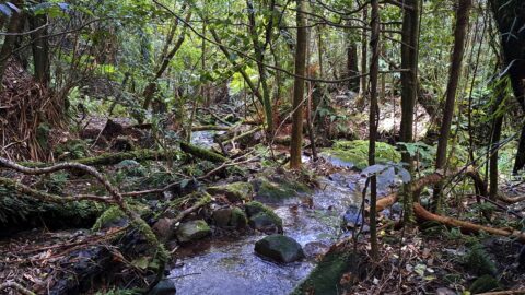
I returned to the Kittyhawk crash site and tacked on two additional unrelated sites.
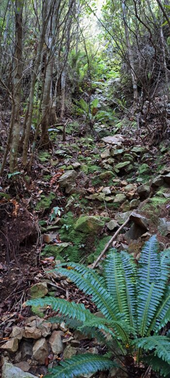
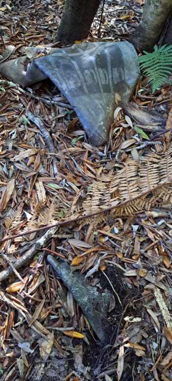
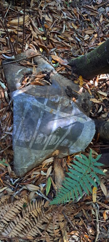
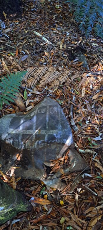
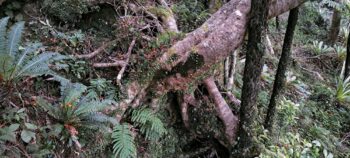
 Number 13, it was my lucky day. This bush excursion was intended as a return to the location of the Kittyhawk plane crash initially uncovered in Bush Bash 12. The plan was to arrive early and thoroughly explore the crash site and its surroundings to identify any additional wreckage or remnants of the aircraft. I followed the same route up to the ridge, but then descended into a section closer to the crash site than last time. Despite having visited the site once before, locating it proved challenging, especially considering my different approach. I nearly considered giving up and retracing my original steps, but thankfully persevered and rediscovered the site. On this second visit, I was able to explore the area more thoroughly and gain a clearer mental map of the surroundings.
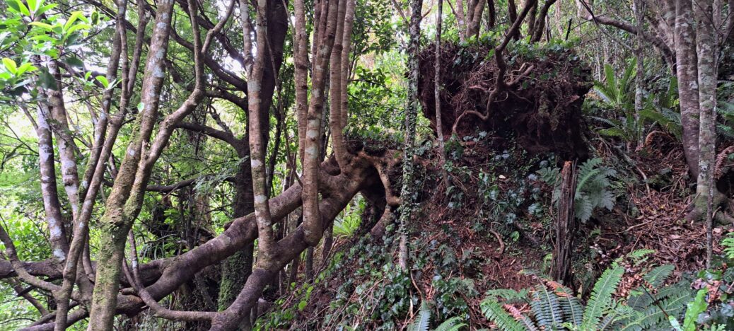
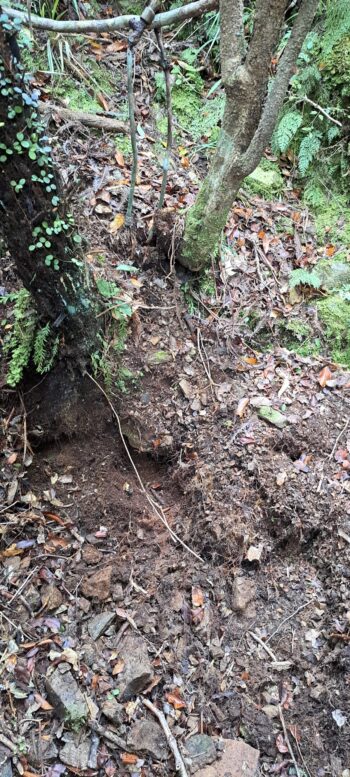
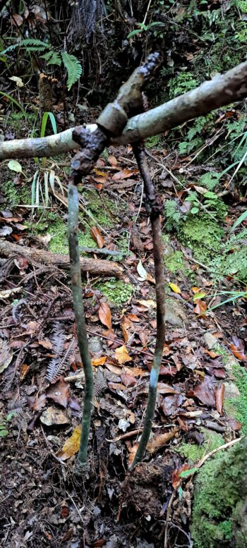
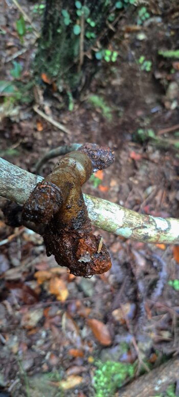
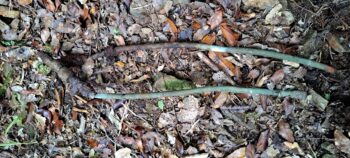
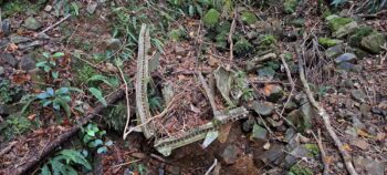
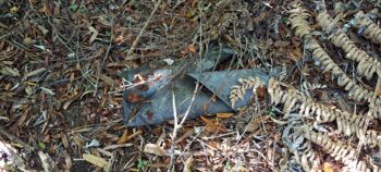
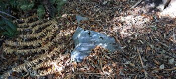
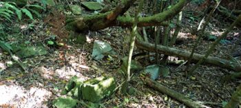
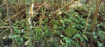
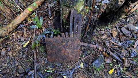
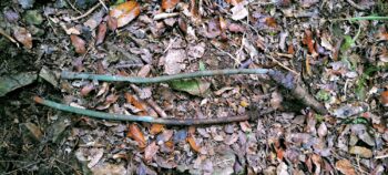 Upon reaching the site, I cleared away additional leaves and surface stones, revealing two metal rods protruding from the ground. I loosened the soil and pulled out an artifact resembling two narrow pipes that were connected by a metal cross section. Uncertain of its purpose, I continued to search the area but found nothing else of significance. It was then time to investigate further uphill to determine if the plane had crashed up there and subsequently slid down to the site. Given the steep landscape, it seemed likely that if the plane had impacted there, it would have naturally descended immediately to the site below, where I found multiple plane parts. However, I found nothing of interest above the site.
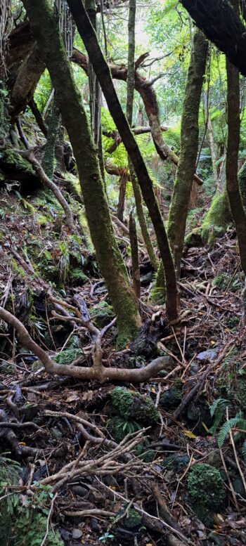
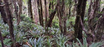
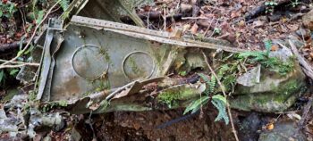 Now it was time to search below the site to see if any parts were in the process of sliding down the hill toward the fuselage site. There was a lot of vegetation, so it was impossible to check every square inch, but I chose a few random likely spots, but found nothing. I kept going further and further down till I reached the fuselage site, some 50+ metres or so below.
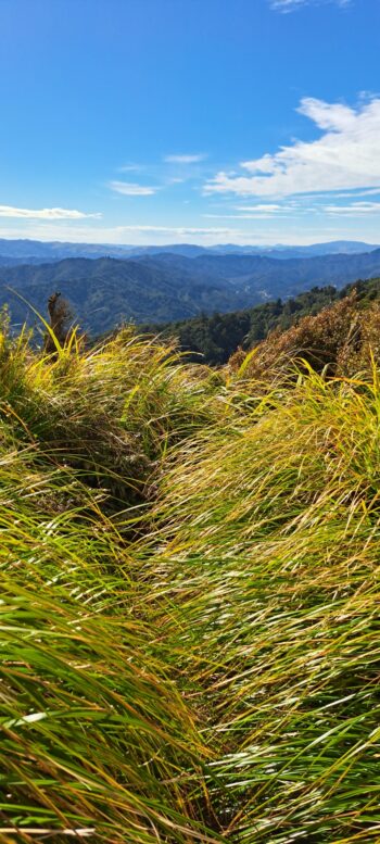
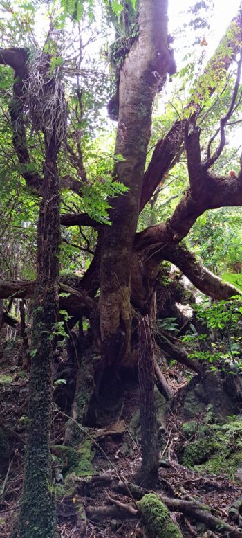
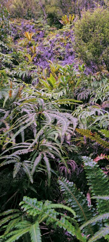
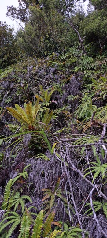
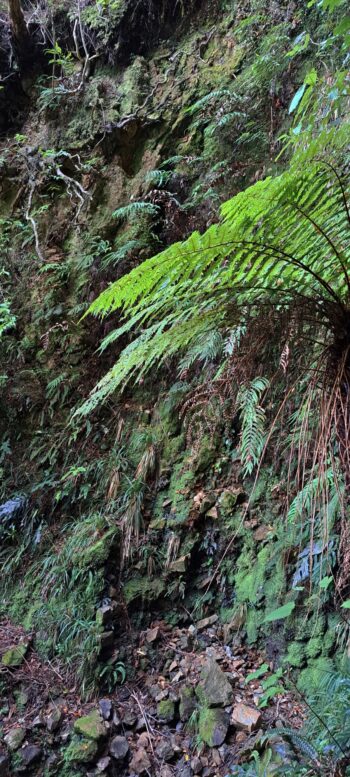
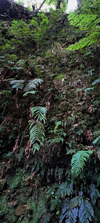
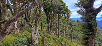
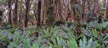
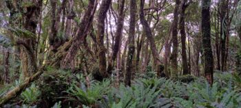
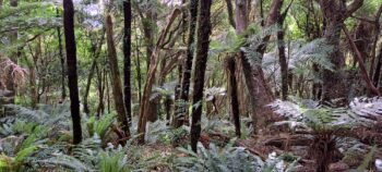
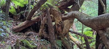
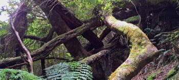
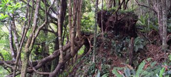
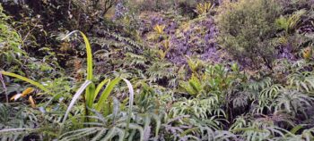
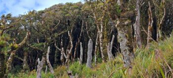
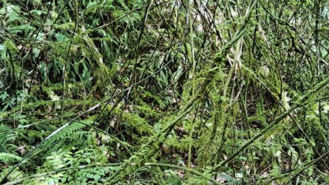
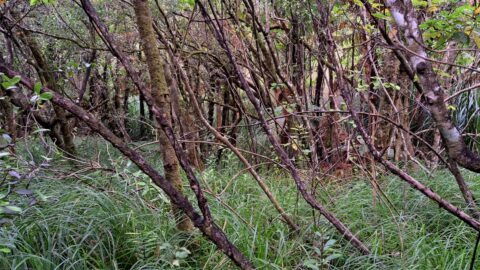
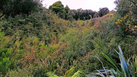
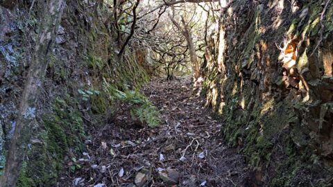
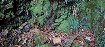 From here I decided to follow the west side creek arm uphill, the same chute that I encountered in my previous expedition. It was practically 90 degrees in some sections and looked like it would be the site of a nice waterfall in a bad weather event. Today it was bone dry, but with green mosses dripping down the face of the cliff, I imagine for much of the year, it has water seeping or running down it. I then went up the flank of the hill to my right and walked around the cliff till I reached the top. I could see that western arm of Skerretts Creek still continued uphill, despite being dry, it was clearly visible. From there I zig zagged up the hill and veered east and ended up in a clearing with low bushes dotted with tree trunks that looked like skeletons. It was hard going through this landscape, but I pressed on, till I eventually found the track atop the ridge of the hill.
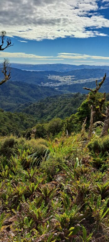
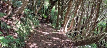 As it was time to return, my intention was to link up with the Whakanui Track and then bush bash down to Nikau Valley. However, with the day growing late and feeling quite fatigued after hours of scouring the hillside, I opted to descend via the Whakanui Track instead. Going down the Whakanui in the evening gave me different lighting which favoured photos of the eastern valley arms in Wainuiomata.
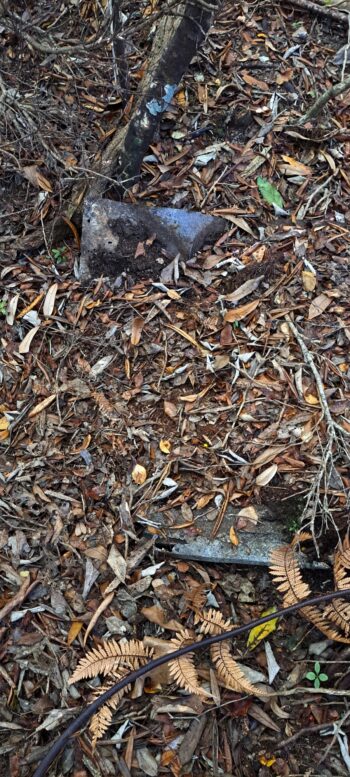
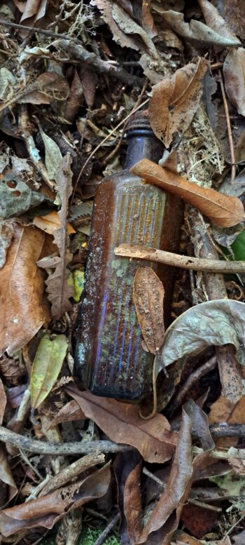
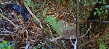
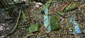 Onroute, I remembered a site I discovered in Bush Bash 6, where I discovered remnants of a shed of small building and an old fence post. I bush bashed to that site, and the remnants were there as I saw them in January. I then bashed my way to the Black House site that I discovered in Bush Bash 4.
 From there I eventually came out at Sunny Grove. On the way home I saw a new KFC sign in The Village alerting Wainuiomartians that they now had access to some of the tastiest tucker on planet earth. I took a photo. Across the road I saw a new fish n chip shop and thought it was good to see The Village getting a new shop. I purchased a fish burger as reward for the hard day.
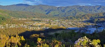 On the way home, it was an evening with soft light, so I took a photo of Wainuiomata from the top of the Wainuiomata Hill.

