On the Trail of the Solomon Track
Solomon Track is a long-disused and mostly forgotten track that once connected to the original Whakanui Track. Over time it has been left to nature, most likely because part of it lies within the restricted Wainuiomata Water Catchment. Though no longer maintained as an official track and not present on maps, it appears on old topographic maps and can be traced in historic aerial photographs.
Today’s mission was to search out and follow what remains of the route while keeping outside the catchment boundary.
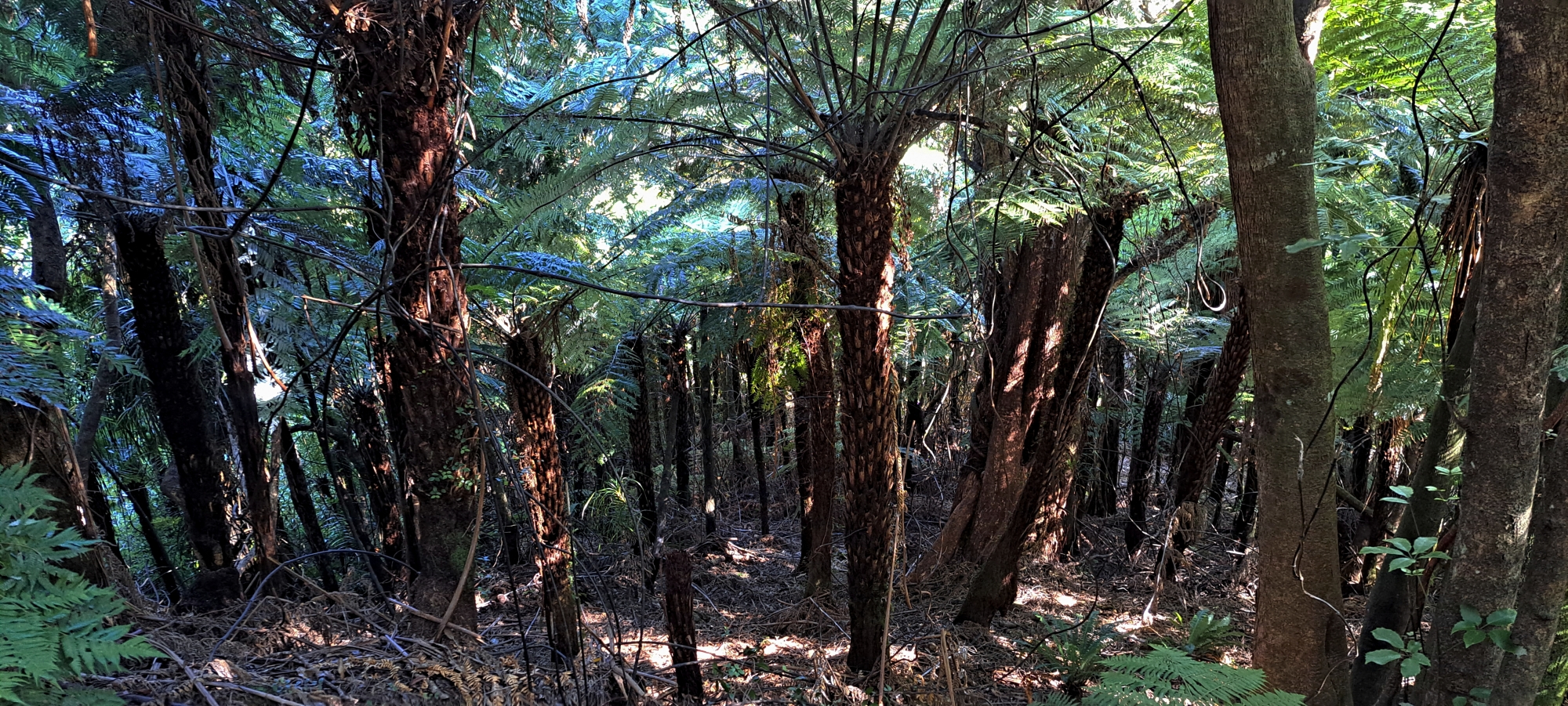
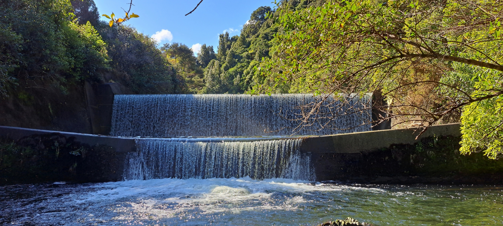 I was with a friend, and we made our way towards Sledge Track Creek in Wainuiomata Regional Park then continued along a remnant of Sinclair Track. From there, we descended down and took photos of the old dam then ascended back up the hill and skirted along the southern hillside, searching for a practical route up towards a ridge where Solomon Track once ran. We decided to climb when we felt we could realistically intersect the Solomon Track further up the hillside and away from the water catchment. At times, we took slightly different paths to scout for the best way up.
Eventually I spotted what looked like a track higher up the slope. Expecting a narrow trail, I was surprised to find a wide bench cut deeply into the hillside. I called out, and my friend and I followed it west, thinking that this had to be Solomon Track. But the trail stayed level and followed the curves along the hillside rather than climbing. My friend suggested we head the other way first to better understand the lay of the land, as the westward route seemed to lead us back out and we wanted to exit the area later rather than sooner.
 Continuing in the opposite direction, we reached the point where we had first entered the track and pushed on further. Before long it intersected another track climbing up the spine of the ridge. That second track made more sense as Solomon Track, as according to old topo maps it follows a spine and connects with the original Whakanui Track. This left us wondering, what was this other broad track we had been following?
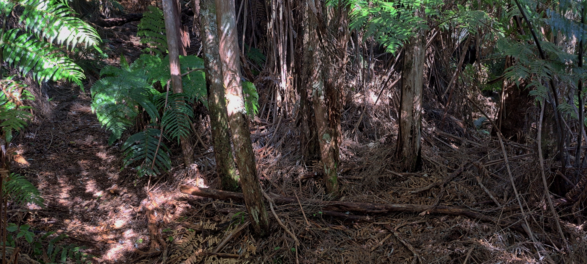
It was puzzling. The track was wide enough for a vehicle to drive on and the cuttings into the hillside suggested a serious amount of work had gone into its construction. Yes it was overgrown, but it was still relatively easy to walk through given its width which gave more options for getting through. Although, there were a number of muddy spots where small creeks crossed over.
I began to speculate. Could it have been built during the construction days of Morton Dam, perhaps as a road to somewhere related to that project, after all, it was connected to Solomon Track which starts near the dam. Or was it part of the old forestry operations of the Sinclair family, who logged the area in the 1870s and 80s?
Perhaps it was part of what I’ve labelled ‘Sinclair Track‘, a historic route that once ran along the hillside near Sinclair Cemetery and stretched all the way to Sledge Track and beyond. Evidence for Sinclair Track includes an 1880s photograph showing the track’s beginning section, as well as physical remnants along the hillside today, beyond the scope of that photo and up to the dam. At this point, a very steep slope prone to slips could have hindered pushing a track further east and maybe the Sinclairs created a second section of this forestry track along the southern hillside of Sinclair Valley, starting near Morton Dam and heading back west toward Sinclair Track to cover the areas that the main track couldn’t reach?
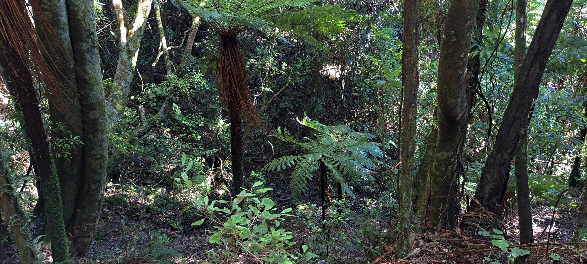 Eventually this bench track ended abruptly at a deep gully which was basically in the middle of nowhere. I can only imagine that the main resource here were large trees that once grew here and were felled around 150 years ago.
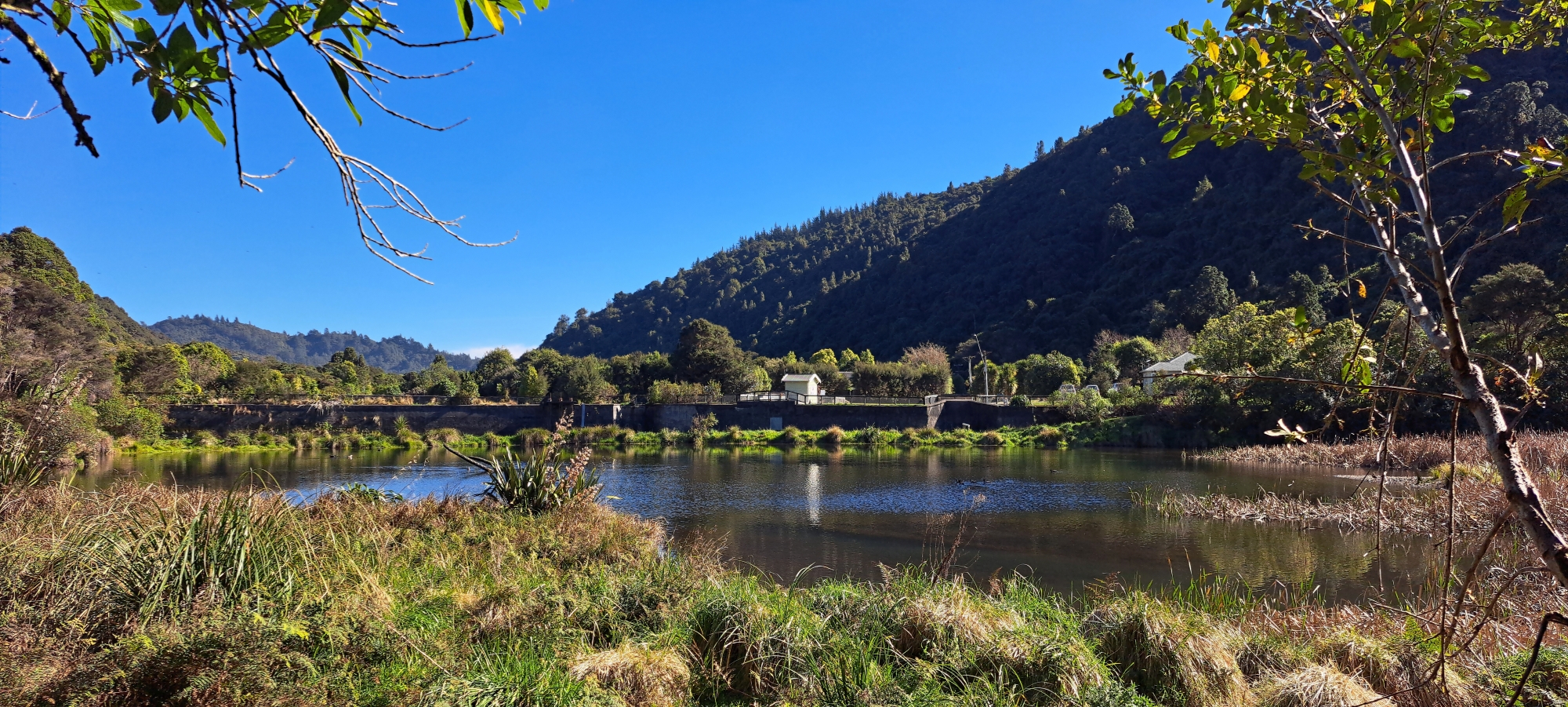 With nowhere obvious to go, we decided to descend down to the gully floor and followed it until we re-emerged in the flatter ground nearer the old dam. After taking some photos of the wetlands behind the old dam, we looped back via Sledge Track, crossed the swing bridge, and made our way out.
In hindsight, the mystery track might once have been a geological survey route, but it feels too well-constructed for that purpose. By comparison, the Tana Umaga Track, which started life as a survey route, is not as well formed, and rises and falls along the hillside. Further, improvements were probably made once the track became an official walking trail. The mystery track, on the other hand, is completely level like a road, with no undulations that I can recall.
Note: After examining old aerial photographs that clearly show survey routes in this area, no evidence was found of such a route here, nor this far into the valley. The most likely explanation is that it was once a forestry track, dating back to the 1870s–1880s. Morton Dam was also the terminus of an old tramway used to haul logs from the area, and the entrance to the bench track lies close to where that tramway ended in that it connects with Solomon Track which starts near the dam. The location for the end of the tramway is marked in this old 1882 map.


