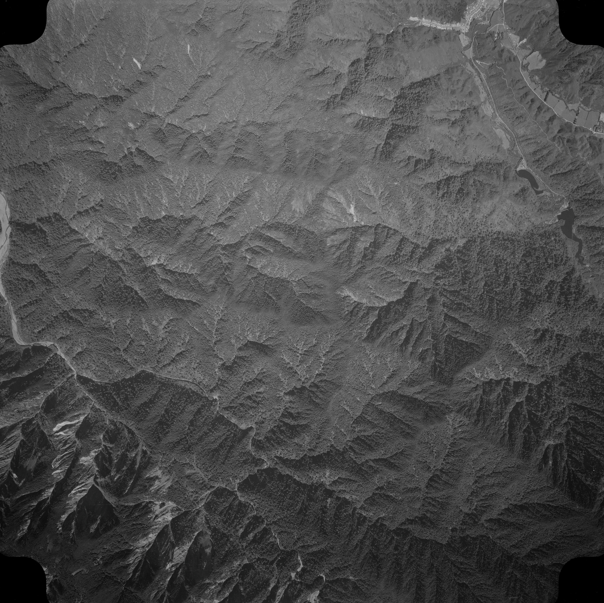
This aerial photo, taken on 8 February 1961, captures Moores Valley and Reservoir Valley, along with Sunny Grove and the final section of Hine Road. The image primarily showcases the hills and peaks of the Remutaka Range, including several ridges such as the McKerrow Ridge.
Sourced from the LINZ Data Service and licensed for reuse under the CC BY 4.0 licence.


