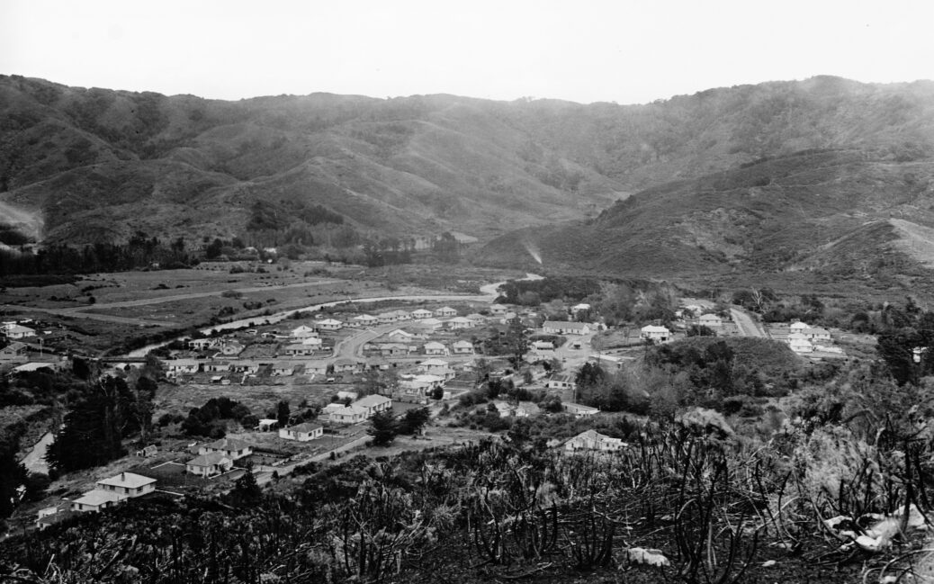
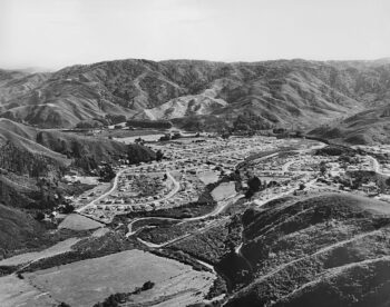
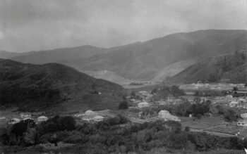
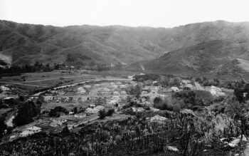
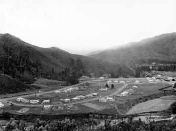
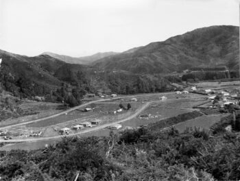
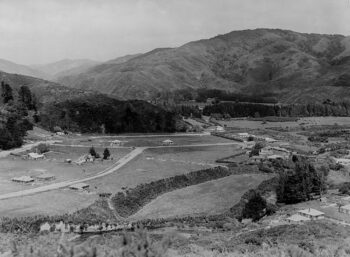
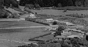
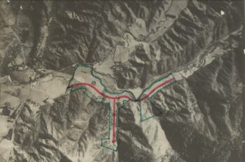
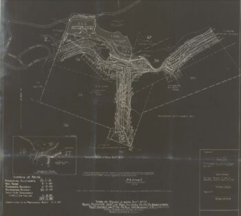
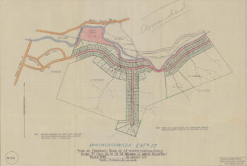
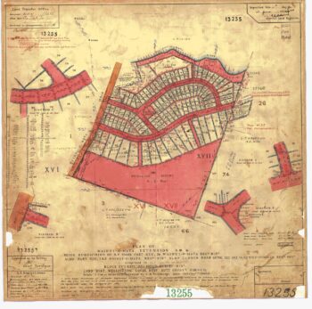
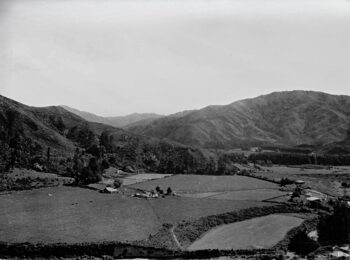
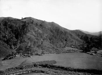
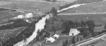
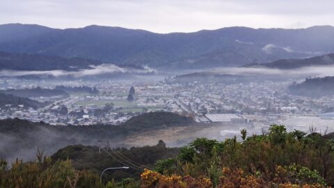
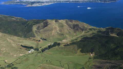
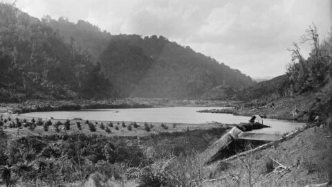
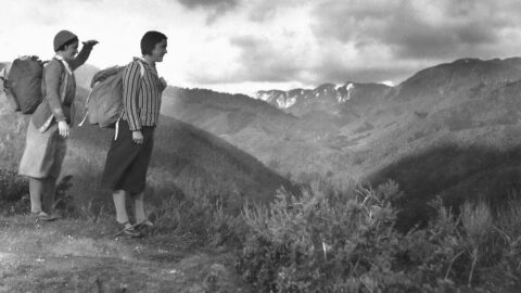
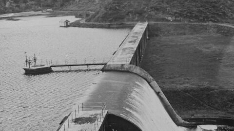
A timeline showing the same or similar view looking at Homedale, the oldest suburb in Wainuiomata. Click a photo to activate the timeline.
Homedale Timeline
-
Misty Day in Wainuiomata
/ / Photos / 0
The valley’s topography and lack of wind can cause low clouds and mist to become trapped by the surrounding...
-
Council Secures Gollans Valley to Unite Regional Park
/ / History, News, Photos / 0
The Greater Wellington Regional Council has successfully purchased a 1366-hectare parcel of land in Gollans Valley Wainuiomata.
-
Wainuiomata Dam in 1888
/ / Photos / 0
This 1888 view of the original Wainuiomata dam shows the spillway on the right, newly planted pine trees in...
-
Mitre 10 in Wainuiomata
/ / News, Photos / 0
The Wainuiomata Mitre 10 store is a recent addition to the local community, officially opening its doors on Saturday,...
-
Five Mile Track in 1933
/ / Photos / 0
View from the Five Mile Track at the top of Gut Buster in the year 1933. In the distance,...
-
Aerial View of Morton Dam in 1924
/ / Photos / 0
Aerial view of Morton Dam in the year 1924. You can see the spillway, tower with gantry, and reservoir...
-
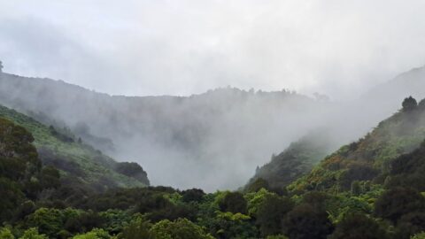
Misty Nikau Creek Valley
/ / Photos / 0
Looking at Nikau Creek Valley in Wainuiomata Regional Park, as seen on a foggy winter day. Within this valley...
-
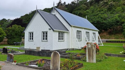
Historic Coast Road Church a Testament to Early Colonial Architecture
/ / News, Photos / 0
This Methodist Church in Wainuiomata stands as a historical building, mirroring the design of numerous early colonial churches in...
SEARCH
RANDOM POST
TIMELINE
PAGES
- Wainuiomata
- History
- General History
- Historic Sites
- Hidden Sites
- Kittyhawk Plane Wreckage
- Wainuiomata Tunnel
- Waiwhetu Tunnel
- Black Creek Tunnel
- Sinclair Tunnel
- Colemans Tunnel
- Meter House
- Water Race
- Scour Pipe
- Earth Bridge
- Power Generator
- Horse Powered Log Arch Cart
- Skerretts Creek Water Catchment
- Concrete Water Tanks
- Mount Crowther Track Water Tanks
- Scout / Pearson Hut
- Workers Huts
- The Black House
- Infrastructure
- Buildings
- Industries
- Notable People
- Waterworks
- Rivers
- Walks
- Official Tracks
- Unofficial Tracks
- Bivy Track
- ECNZ Power Pylon Track
- Gawler Reservoir Track
- Hine Road Track
- Maintenance Track
- McKerrow Ridge Track
- Mill to Moness Track
- Mount Crowther Track
- Old Nikau Creek Track
- Old Whakanui Track
- Scholes Creek Track
- Scour Pipe Track
- Sinclair Track
- Solomon Track
- Spear Cut Track
- Sunny Grove Track
- Water Race Track
- Reserves
- All Reserves & Parks
- Remutaka Forest Park
- Catchpool Valley
- Wainuiomata Regional Park
- Hine Road Recreation Area
- Harry Todd Recreation Reserve
- Richard Prouse Park
- Poole Crescent Reserve
- Rotary Park
- Wainuiomata Scenic Reserve
- Queen Street Reserve
- Bryan Heath Park
- Ngaturi Park
- Brookfield
- Camp Wainui
- Turakirae Head Scientific Reserve
- Puketahā Wildlife Sanctuary
- Wainuiomata Trees
- All Reserves & Parks
- About Us
| M | T | W | T | F | S | S |
|---|---|---|---|---|---|---|
| 1 | ||||||
| 2 | 3 | 4 | 5 | 6 | 7 | 8 |
| 9 | 10 | 11 | 12 | 13 | 14 | 15 |
| 16 | 17 | 18 | 19 | 20 | 21 | 22 |
| 23 | 24 | 25 | 26 | 27 | 28 | 29 |
| 30 | ||||||
WAINUIOMATA MUSEUM


