Sinclair Track was likely a historic logging route used in Sinclair Valley / Reservoir Valley during the 1870s.
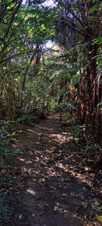
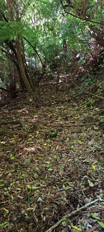
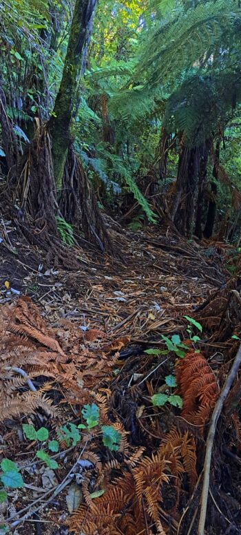
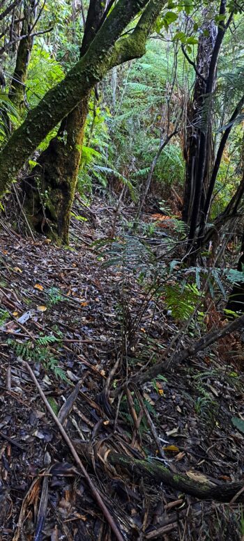
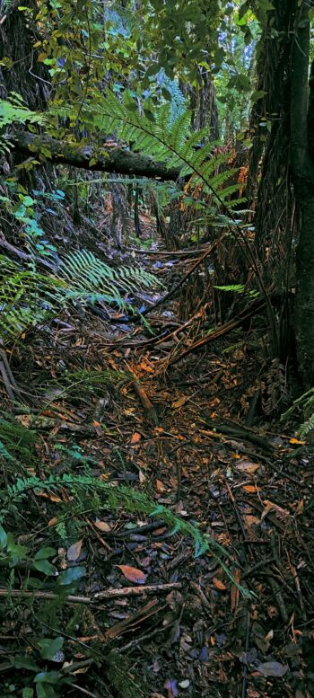
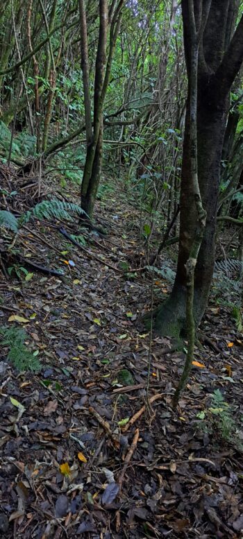
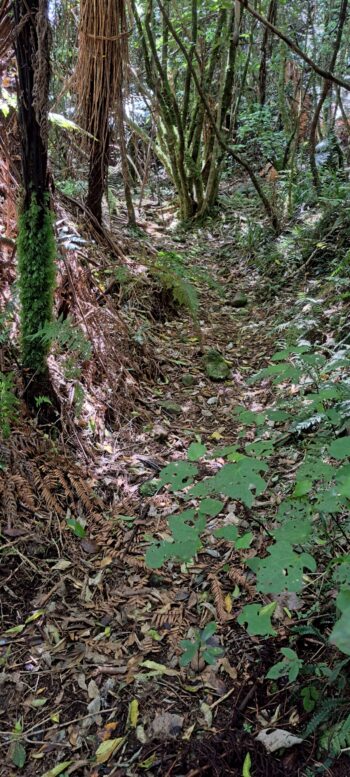
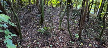
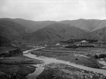 Sinclair Track (for want of a better name) is a historic track that once traversed what is now Reservoir Valley, previously known as Sinclair Valley. Its origins date back to the 1860s or 1870s, with an 1880s photograph providing early documentation of its existence. The most convincing evidence of its existence is the track itself, which remains visible in sections today, skirting the southern hillside at a slight elevation to avoid the swampy forest floor. It is possible that the track or sections of it may have served as the main trunk line for a wooden tramway used to transport logs from the valley to a nearby mill on the other side of the Wainuiomata River.
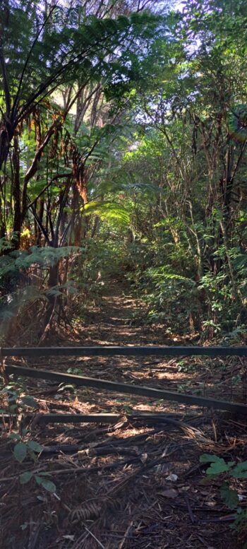
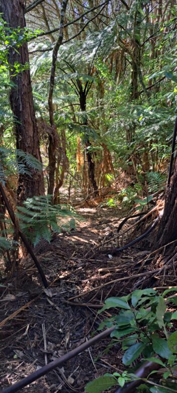
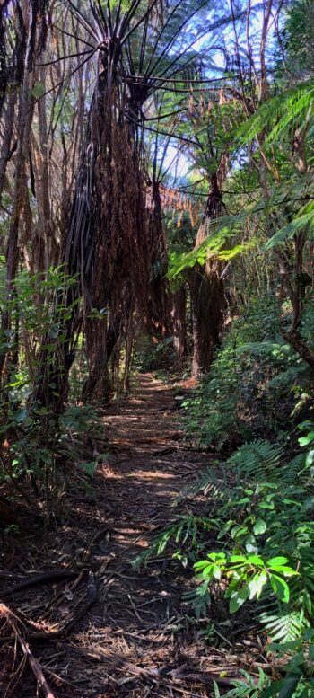
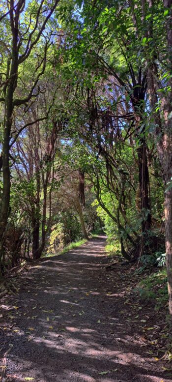
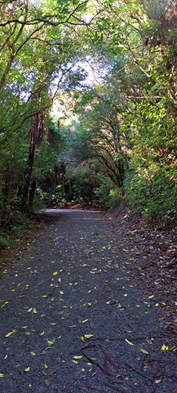
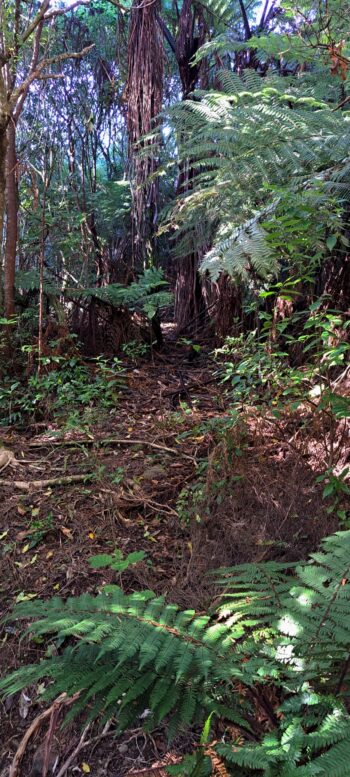
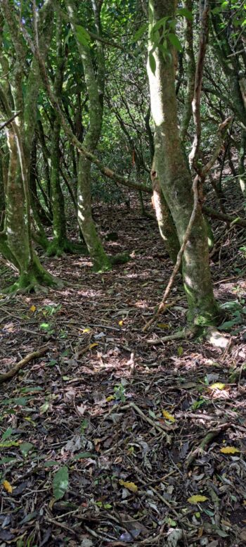
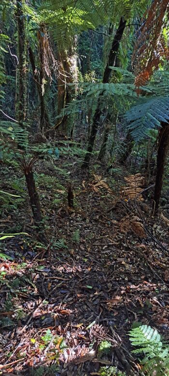
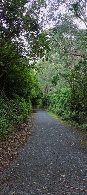
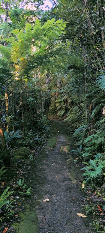
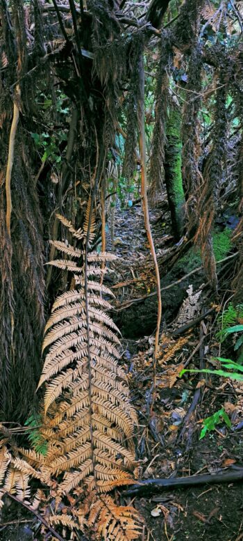
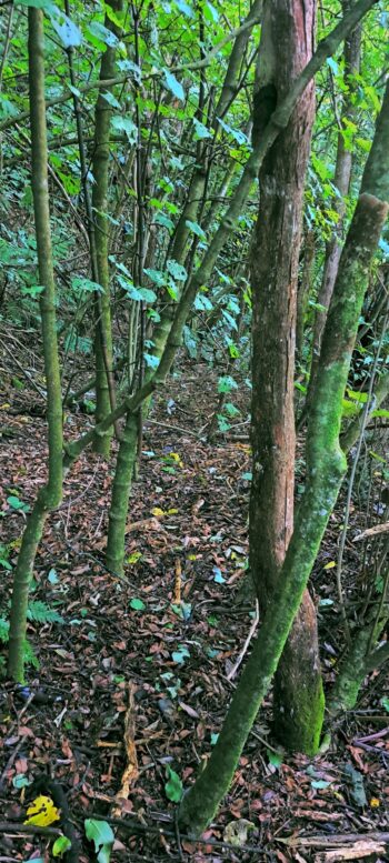
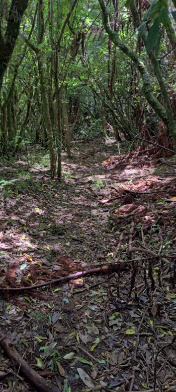
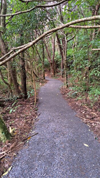
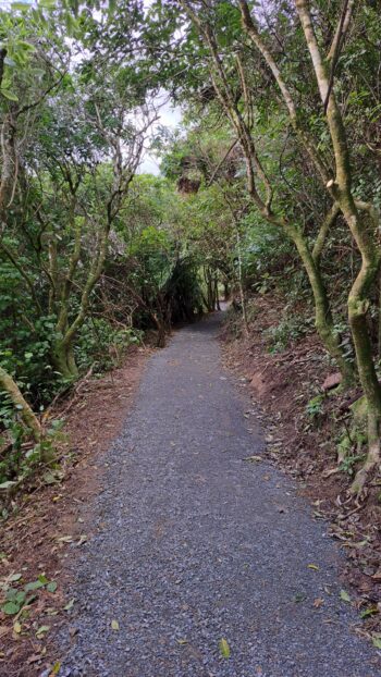
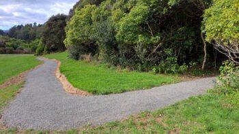
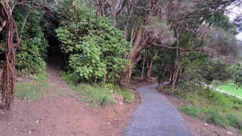
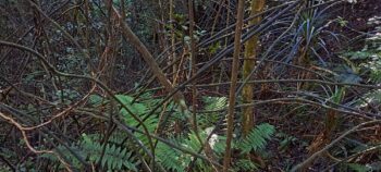
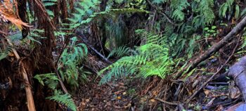
Starting at the Hine Road Recreation Area, this overgrown track crosses Sledge Track and continues to the spillway of the old dam. Navigating the full length of the track is extremely challenging, as it’s easy to lose your way and stray off course. The route requires pushing through dense regenerating bush and blending bushbashing with sections of the Gums Loop Walk, where the tracks overlap. For a more accessible option, you can follow the southern section of Gums Loop Walk, which covers about half of Sinclair Track’s route.
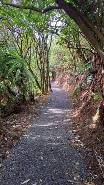
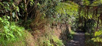
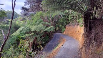
According to an 1880s photo, the track can be seen near Sinclair Cemetery and from here it doesn’t take long before you connect with the new extension of the Gums Loop Walk. Previously overgrown and hidden, this section was likely chosen as the new Gums Loop extension because the bank was already cut into the hillside, making it a logical route which takes walkers above Top Pool, where it joins the older section of the Gums Loop Walk. From this juncture, Sinclair Track and Gums Loop Walk share the same path. However, at Nikau Creek, the tracks split.
Gums Loop heads north, then east into Gums Loop Meadow, passing in front of a wetlands area. Sinclair Track, meanwhile, continues east, crossing Nikau Creek close to the Gums Loop Bridge and following the base of the hillside behind the wetlands, just above the swampy ground.
After the wetlands, the two tracks merge briefly before diverging again near the Mackay Cottage area. Gums Loop leads to the Swing Bridge, while Sinclair Track branches off, hugging the hillside as it continues east. Eventually, Sinclair Track emerges onto Sledge Track.
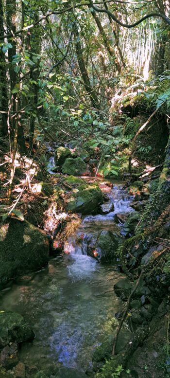
The track then crosses Sledge Track Creek, where a bridge once stood for several years, and continues eastward toward the spillway of the old dam. Although the dam itself did not exist in the 1870s, this area may have served as a natural endpoint for logging activities on this side of the Wainuiomata River. Today, the river runs close to the steep hillside, a feature that would have made the opposite side of the river more practical for logging operations further up the valley, assuming the river’s course was similar at the time. Historical records confirm that a road was constructed on the northern side to support the building of the steel tramway, which according to an 1882 map, extended as far as Morton Dam. This route is now known as Reservoir Road.
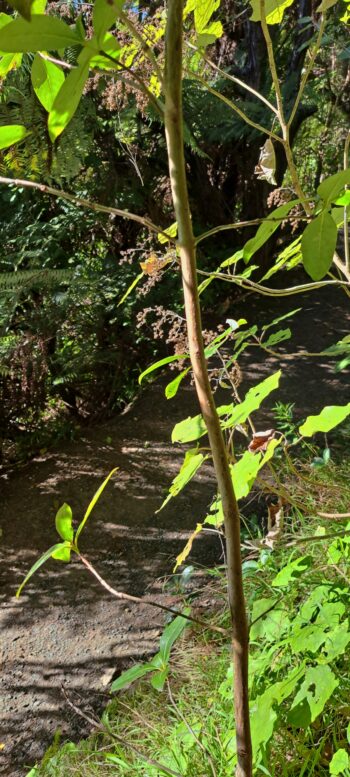
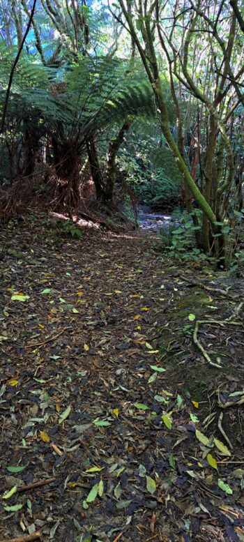
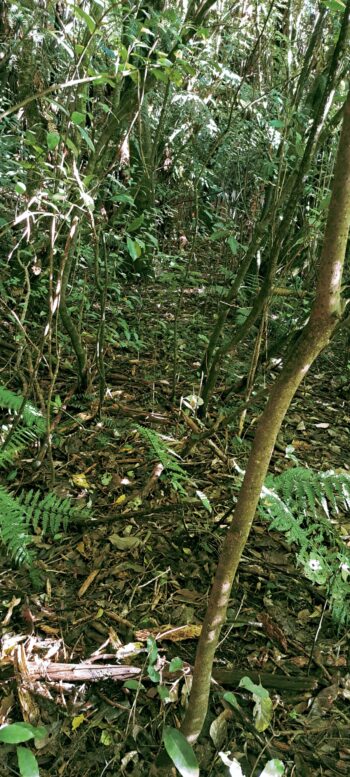
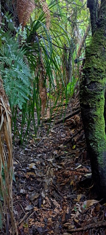
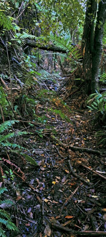
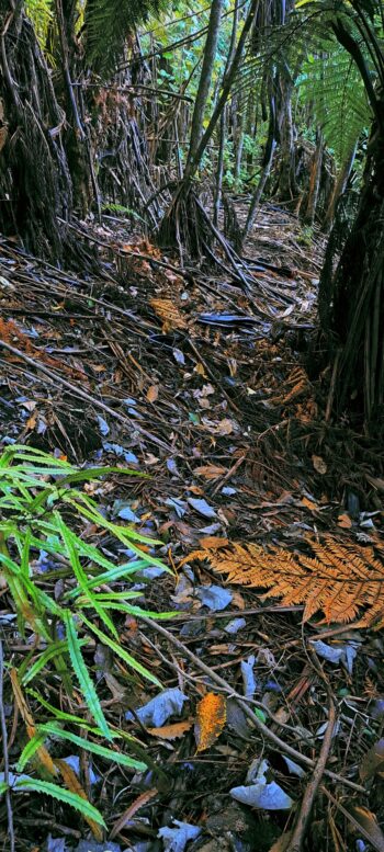
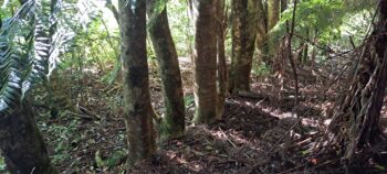
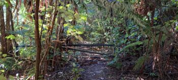
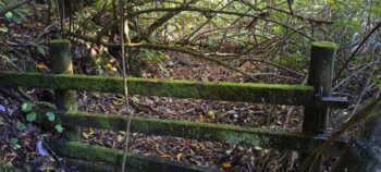
Today, much of the track is so overgrown that it is effectively untraversable. In some areas, the track is briefly visible but soon fades into the surrounding bush, making it difficult to distinguish. Its trajectory can sometimes be inferred from sections where cuts in the bank remain visible.
Plans are currently underway for a new track near the eastern end. If you’re keen to explore sections of this historic logging route, it may be worth waiting a year or two until the track is completed, and then combining it with the Gums Loop Walk on the southern side of the Wainuiomata River.

