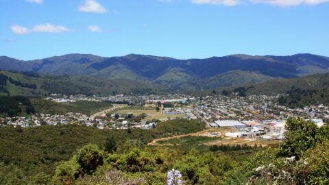
Wainuiomata Valley as seen from the summit of Wainuiomata Hill in the year 2009. This is prior to the ...
Wainuiomata: Aerial
Take a photographic journey from the skies or from other elevated locations to witness the transformation of Wainuiomata over the decades. This growing collection of aerial photography provides a captivating visual story of the suburb’s growth and metamorphosis.
Articles here include photos taken from high up vantage points on hillsides, drone footage, as well as photography from aircraft. Among these images, selections from the LINZ Data Service are available for reuse under the CC BY 4.0 licence. These particular photographs will be clearly marked for recognition.
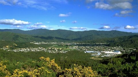
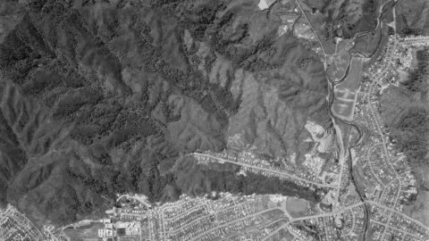
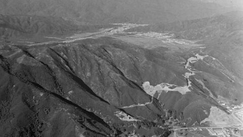
Looking down upon Wainuiomata in approximately the year 1990 as seen from the top of the Wainuiomata Hill.
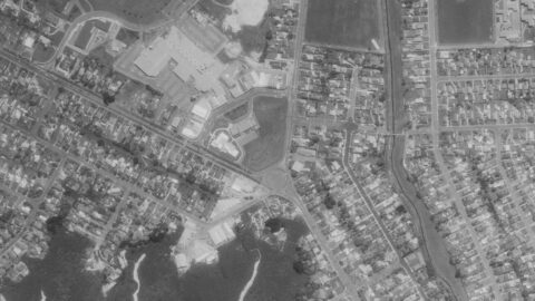
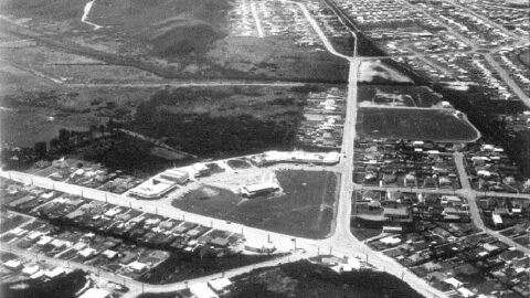
Aerial photos showing the first intersection upon entering Wainuiomata, where Main Road meets Fitzherbert Road.
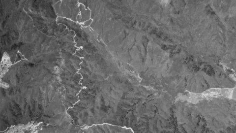
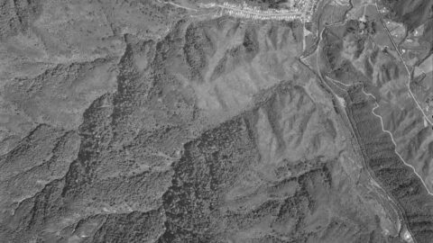
Aerial photograph from the 6th of October in 1980, showing Homedale and Reservoir Valley. Numerous firebreaks are visible.
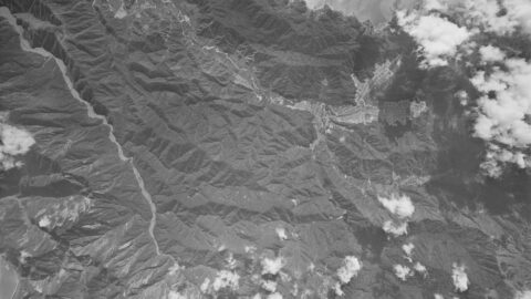
An aerial photograph taken on 30th December 1974 captures the upper Moores Valley of Wainuiomata with Naenae also in...
This aerial photo, taken on 30 December 1974, showcases Wainuiomata and the extensive firebreaks on its surrounding hills.
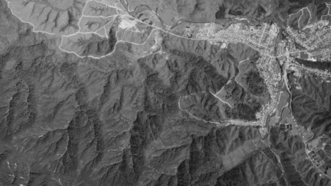
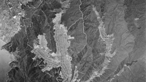
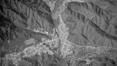
The aerial image of Wainuiomata in 1974 is similar to the layout today. But the hills are crisscrossed with...
1974 aerial photograph depicting Homedale and Reservoir Valley, showcasing numerous firebreaks present during that era.
Aerial image of Wainuiomata in the year 1974. The image contains numerous freshly cut firebreaks on the surrounding hills.
In 1844, Frederick Weld guided a flock of sheep along the coastal route from Wellington to the grasslands of...
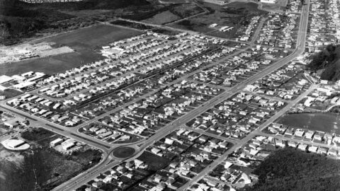
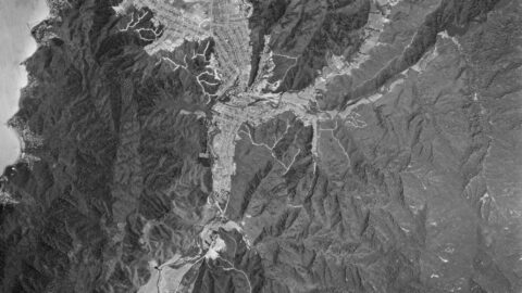
A 1971 aerial view of Wainuiomata shows Parkway College, now called Wainuiomata High School, under construction on the far...
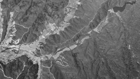
In this 1969 aerial image, you can see Hine Road, Sunny Grove, Moores Valley, & Reservoir Valley. See the...
Aerial photo taken in 1969 of Homedale and Moohan Street area in Wainuiomata. A number of interesting features...
This aerial photo, taken on 7 December 1966, captures Wainuiomata during a period of development. Arakura is shown under...
Aerial image of Wainuiomata Road in 1964, showing Wainuiomata Road over the Wainuiomata Hill summit and into the valley.
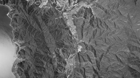
Aerial view of Wainuiomata in 1963 showing Queen Street and Arakura. In 1958, Fraser Barton opened the first shop on...

This aerial photo, taken on 8 February 1961, captures Moores Valley and Reservoir Valley, along with Sunny Grove and...
This photograph looks along Hine Road including Sinclair House in 1958. Sinclair House was built in the 1860s.
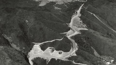
This photo shows a major road upgrade on the Lower Hutt side of the hill. It also highlights the...
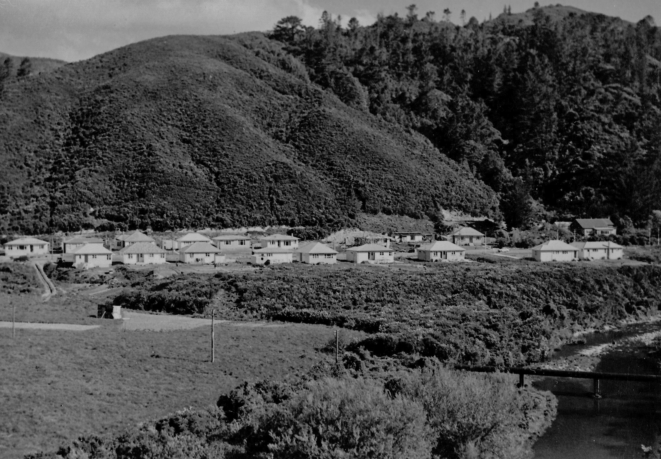
The image of Wainuiomata from 1954 offers a fascinating glimpse into the area's history, as it predates Arakura and...
WAINUIOMATA TOURS

Step into the wilderness of Wainuiomata and experience it for yourself. Learn more →.
WAINUIOMATA MUSEUM

Located in Wainuiomata Primary School, it is open 2pm-4pm every Sunday. Learn more →.
BUY ME A COFFEE
Support Wainuiomata.Net with a donation and help us continue to uncover local history, capture photos, drink coffee, and promote Wainuiomata.


DISCUSSION