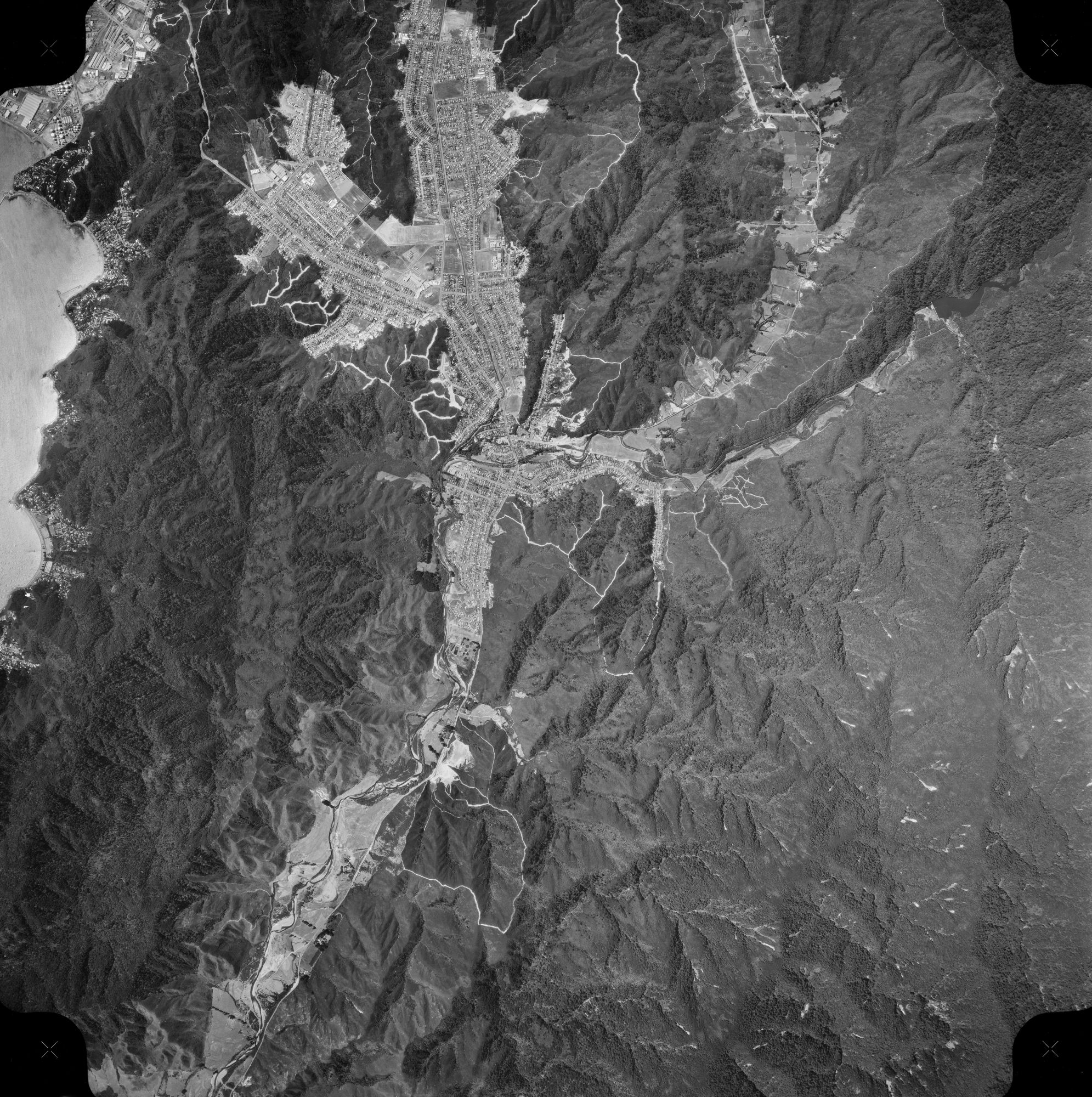
This aerial photo, taken on 30 December 1974, showcases Wainuiomata and the extensive firebreaks on its surrounding hills. The Wainuiomata River is clearly visible, along with newly constructed streets in Arakura, highlighting the area’s ongoing development.
Sourced from the LINZ Data Service and licensed for reuse under the CC BY 4.0 licence.


