Image © Jeremy Foster.
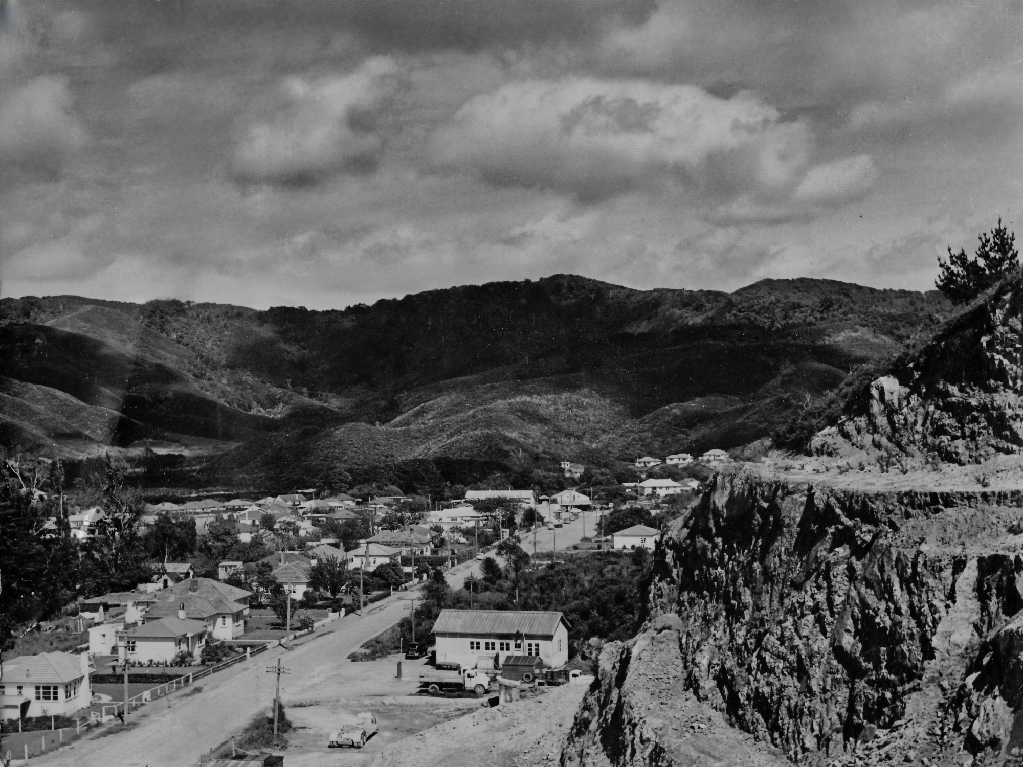
Moores Valley Road as seen from The Rock
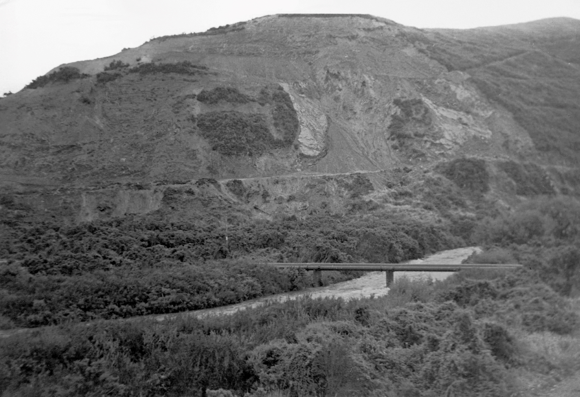
‘The Rock’ typically refers to the area stretching from the viewpoint along Moores Valley, overlooking Richard Prouse Park, to where the Wainuiomata Stream merges with the Wainuiomata River. The Rock was quarried from the 1930s to the 1970s.
Rock Pool in the Wainuiomata River is situated at the base of the rock in Richard Prouse Park, opposite the accessway between 87 and 89 Hine Road. There used to be access from Moores Valley Road down to here, but it has been overgrown since the mid-1990s.
Today, you can walk from Moores Valley Road to the Gawler Grove Reservoir via the quarry route, which features a clearly marked and cut track. Another track from the Gawler Reservoir leads to the Mowlem Trig and the Wainui Centre Firebreak. Additionally, there is a track that goes up the gully where dynamite was once stored.


