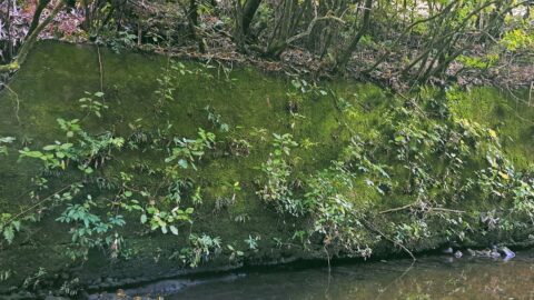
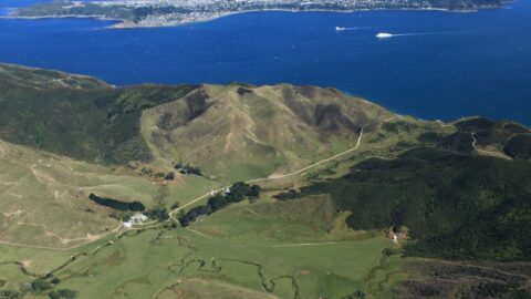
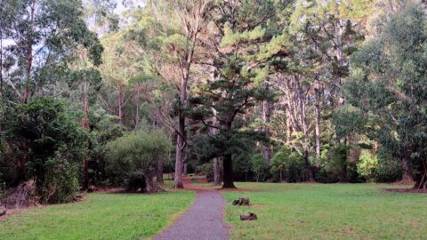
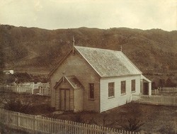
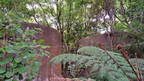
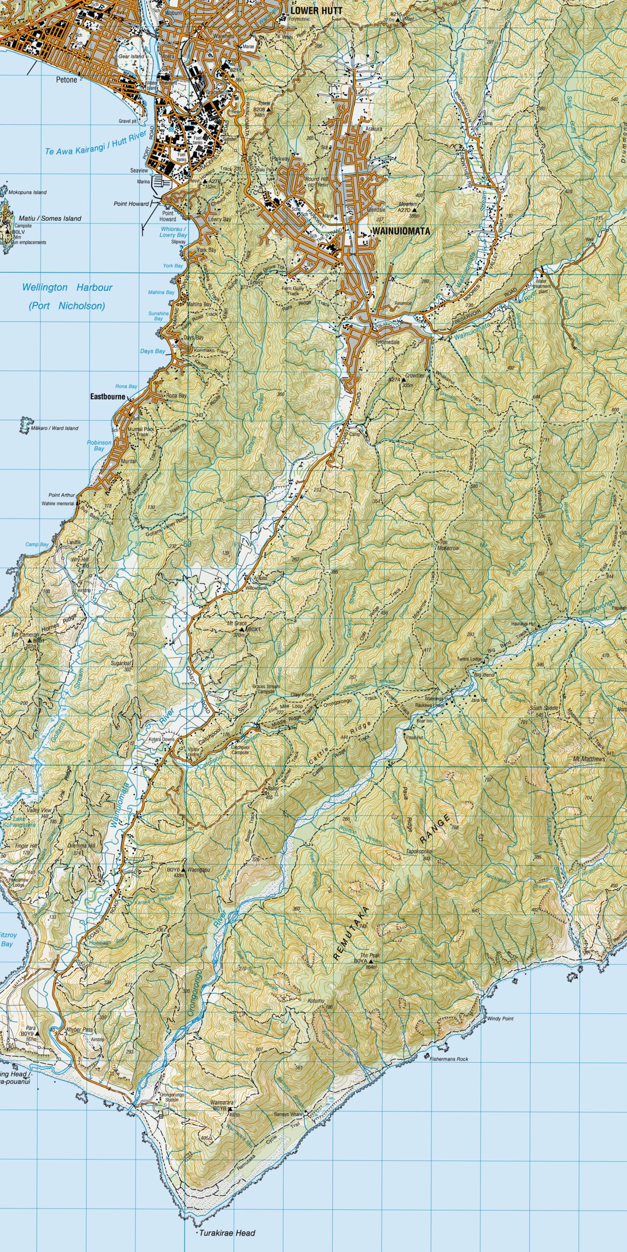
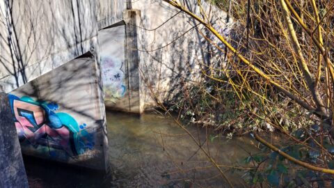
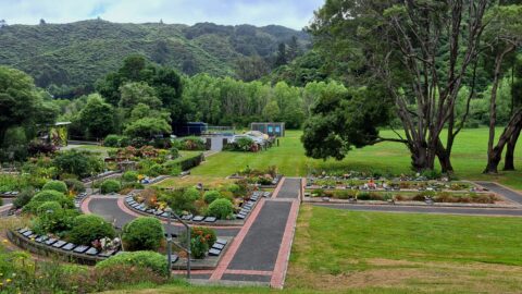
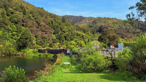
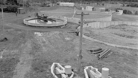
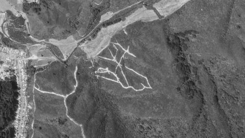
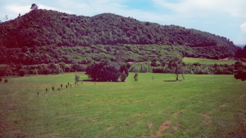
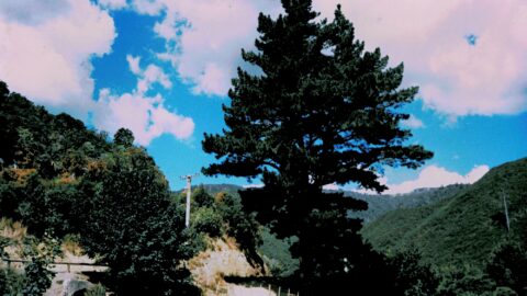
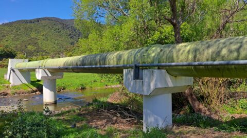
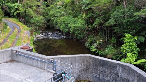
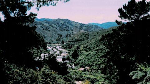
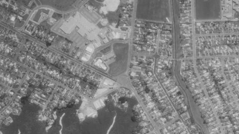
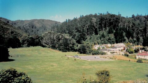
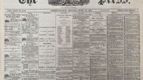
A concrete wall running below Reservoir Road has long been something of a mystery. Here are some theories that...
Wainuiomata: History
Articles about the history of Wainuiomata sorted by date.
Documenting the fascinating history of Wainuiomata with an ever growing collection of articles. Includes posts about the origins and pioneering period of Wainuiomata to historical sites and artefacts. Each article is dated, but the date represents the subject and not the date when the article was written. For example, when an article primarily focuses on a photograph captured in 1840 or discusses topics related to that specific year, the article will be time stamped with that year.
This approach provides readers with an experience, allowing them to traverse through history in chronological order and gain a precise understanding of how historical events and elements are situated within the broader timeline of Wainuiomata’s history. Nonetheless, when an article covers a lengthy period concerning its main subject, it will be time stamped based on the featured image, most recent image, or the date of the main subject.
Read our comprehensive page on Wainuiomata history here →
Or read our historical articles below:
Historical Articles
SEARCH
TIMELINE
PAGES
- Wainuiomata
- History
- General History
- Historic Sites
- Hidden Sites
- Kittyhawk Plane Wreckage
- Wainuiomata Tunnel
- Waiwhetu Tunnel
- Black Creek Tunnel
- Sinclair Tunnel
- Colemans Tunnel
- Meter House
- Water Race
- Scour Pipe
- Earth Bridge
- Power Generator
- Horse Powered Log Arch Cart
- Skerretts Creek Water Catchment
- Concrete Water Tanks
- Mount Crowther Track Water Tanks
- Scout / Pearson Hut
- Workers Huts
- The Black House
- Infrastructure
- Buildings
- Industries
- Notable People
- Waterworks
- Rivers
- Walks
- Official Tracks
- Unofficial Tracks
- Bivy Track
- ECNZ Power Pylon Track
- Gawler Reservoir Track
- Hine Road Track
- Maintenance Track
- McKerrow Ridge Track
- Mill to Moness Track
- Mount Crowther Track
- Old Nikau Creek Track
- Old Whakanui Track
- Scholes Creek Track
- Scour Pipe Track
- Sinclair Track
- Solomon Track
- Spear Cut Track
- Sunny Grove Track
- Water Race Track
- Reserves
- All Reserves & Parks
- Remutaka Forest Park
- Catchpool Valley
- Wainuiomata Regional Park
- Hine Road Recreation Area
- Harry Todd Recreation Reserve
- Richard Prouse Park
- Poole Crescent Reserve
- Rotary Park
- Wainuiomata Scenic Reserve
- Queen Street Reserve
- Bryan Heath Park
- Ngaturi Park
- Brookfield
- Camp Wainui
- Turakirae Head Scientific Reserve
- Puketahā Wildlife Sanctuary
- Wainuiomata Trees
- All Reserves & Parks
- About Us
| M | T | W | T | F | S | S |
|---|---|---|---|---|---|---|
| 1 | ||||||
| 2 | 3 | 4 | 5 | 6 | 7 | 8 |
| 9 | 10 | 11 | 12 | 13 | 14 | 15 |
| 16 | 17 | 18 | 19 | 20 | 21 | 22 |
| 23 | 24 | 25 | 26 | 27 | 28 | 29 |
| 30 | ||||||
WAINUIOMATA MUSEUM


