Click on the map to enlargen.
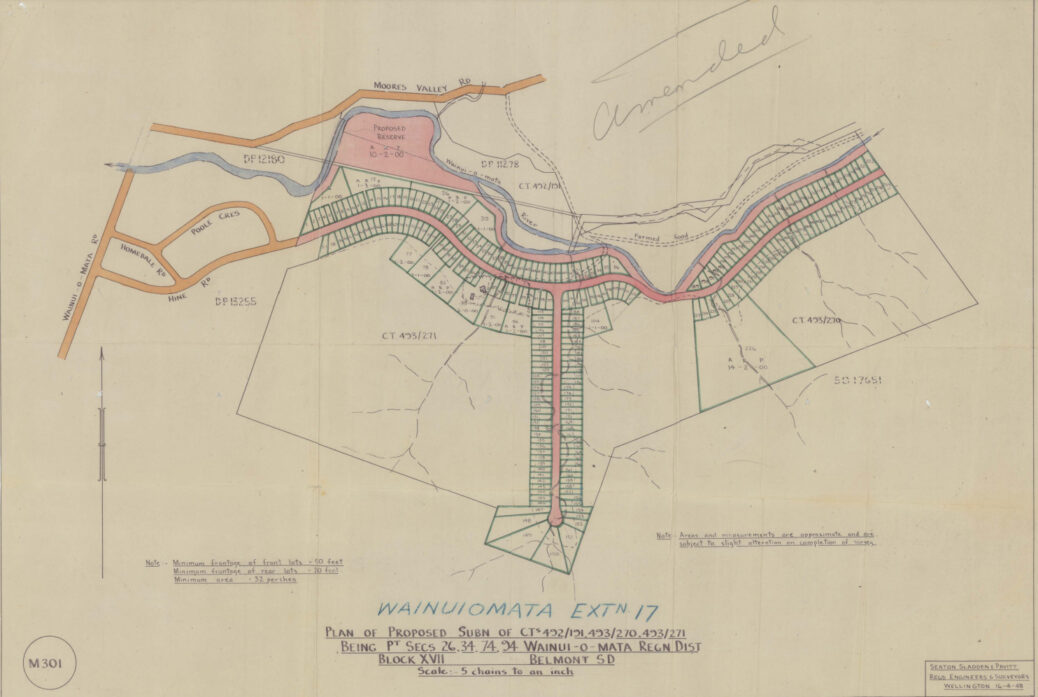
This is the 1948 Norman Willis subdivision plan for the Hine Road and Sunny Grove area.
This map shows Hine Road extending into what is now the Gums Loop area. The plan highlights a number of interesting things listed below:
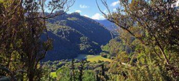
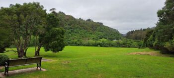
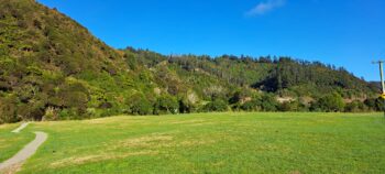
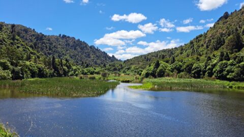
- Hine Road extends into the Reservoir Valley / Sinclair Valley where the Gums Loop Walk is today.
- The Wainuiomata River split into two streams east of what is now Richard Prouse Park and then reconnected. We know that the developer changed the course of river and creeks to suit his plan. Today, the closer stream to the properties is now a walking track that connects Richard Prouse Park and Hine Road.
- The reserve where Richard Prouse Park is located, would have extended along the Wainuiomata River bank right through to the end of the extended version of Hine Road, deep into Reservoir Valley.
- The old road leading to Cullens Bridge and beyond is outlined. This gave Cephas John (Jack) Cullen (1891 – 1981) a way to cross the Wainuiomata River and access to his home.
- A rectangular shape next to Sunny Grove and Hine Road was the home leased by Cullen. The outline probably represents trees, and indeed, there are mature trees at this site today (2023). A creek appears to pass through the middle of the property. This was the original homestead of the Sinclair Family who owned a sawmill and logged the surrounding area.
- The upper road / track above what is now Reservoir Road is outlined.
- The path of the water race is outlined. It appears to mostly follow the upper track / road.
- Skerretts Creek meanders down both sides of Sunny Grove, but predominately on the eastern side / odd numbers. Other small streams flowing down the range behind the street appear to flow into Skerretts Creek. The course of the creek was changed by the land developer, to flow solely through the properties on the odd numbered side of the road.
- Nikau Stream would have flowed pass four properties in the extended version of Hine Road with two other streams doing the same thing further up the valley.
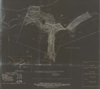
- According to an accompanying map, the Boys Brigade Camp is located above Sunny Grove. In fact, the Boys Brigade still own some land above Sunny Grove between houses at the end of the street. The land fans out as you head up and is in the general direction of the current Boys Brigade area accessed from the Coast Road.
History
Hine Road is named after Edgar Hine (1870–1949), a bondholder in the Wainuiomata Development Company as of May 27, 1927. He also owned shares in the Homedale Investment Company Ltd from 1941 to 1945, which was established to fund urban development in the village after the Wainuiomata Development Company was revived by Frederic Wise (1874–1951).
The land, originally part of the Sinclair estate until the 1880s, was known as Riverlea. Norman Willis purchased the 300-acre property on June 1, 1942, from Len Jenkins (1886–1968) as an investment.
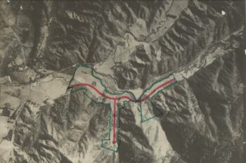
The plan for Hine Road involved extending it beyond the current houses at 157/164, into the area now known as Hine Road Recreation Reserve and part of Wainuiomata Regional Park. Like Sunny Grove, this section would have received limited sunlight but would have been prone to occasional flooding.
Due to the location of the proposed extension leading to the waterworks, the Crown appropriated parts of the property for soil conservation to protect the pristine water in the water catchment. The northern area beyond the Sinclair Family Cemetery became part of Remutaka Forest Park, and the eastern area of Reservoir Valley/Sinclair Valley was purchased by the Wellington City Council in 1951 to expand its water catchment area.
The extended section of the street would also have been at greater risk during an earthquake due to its proximity to the dam site and its location within a valley with steep walls.
Special thanks to Jeremy Foster for some information in this article as well as sourcing this plan and associated documents.

