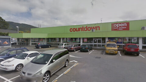
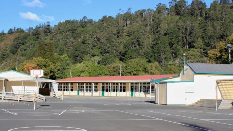
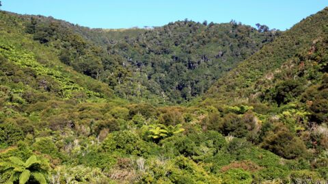
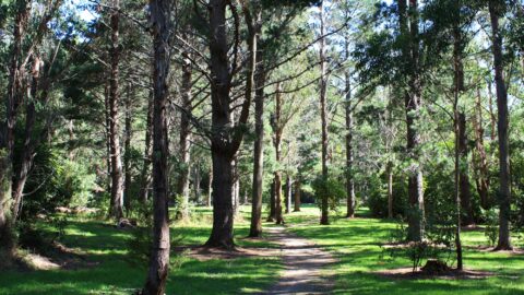
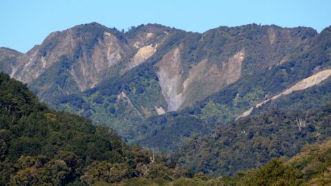
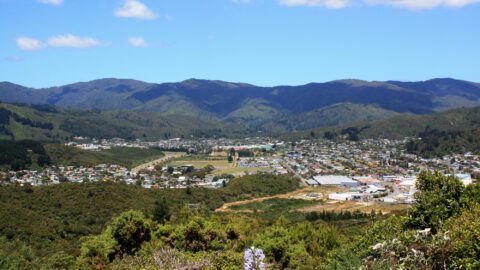
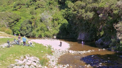
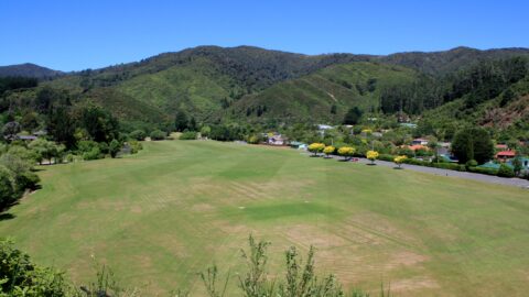
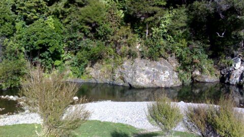
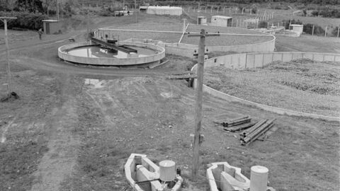
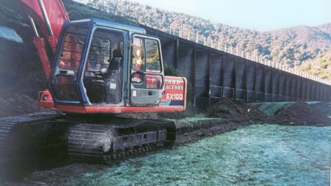
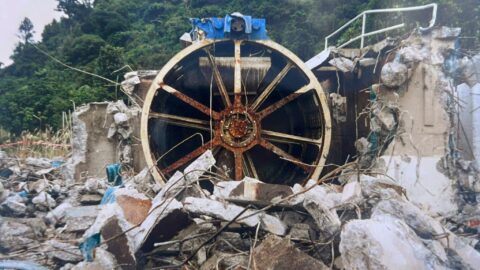
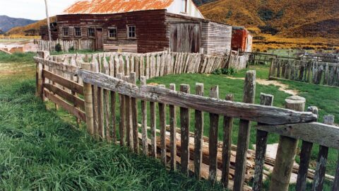
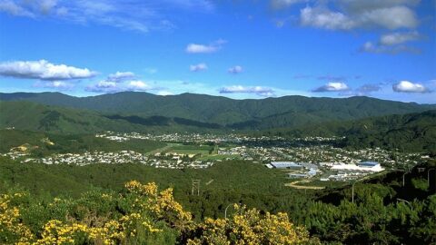
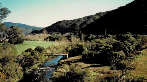
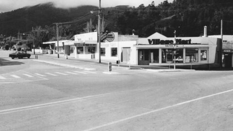
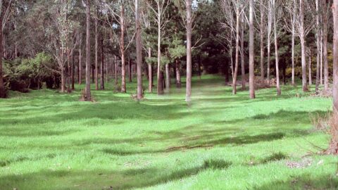
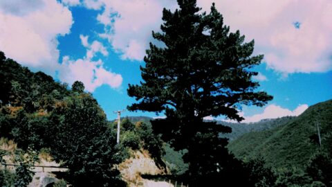
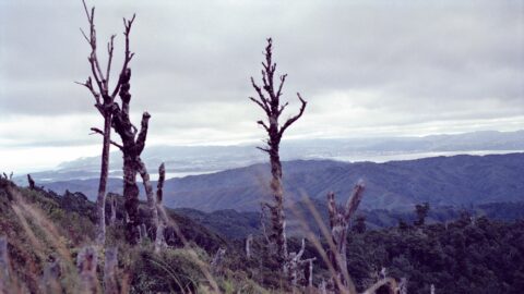
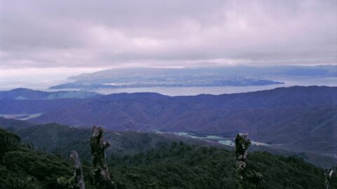
360 degree view of Countdown in Wainuiomata in October, 2013. The first Countdown supermarket in Wainuiomata opened in 1970.
Wainuiomata: Photos
Photos of the Wainuiomata timeline starting with the most recent date.
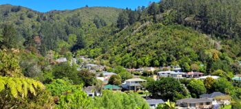 Documenting Wainuiomata with an ever growing collection of photos. This includes locations such as the town centre, suburbs, landscapes, coastline, rivers, and reserves.
Photo articles are dated by the age of the main photo or the main subject rather than when the article was written. This places the photos in a timeline. Some photos date back to the 1800s. We either have permission to show these old photos or they have no copyright. Modern photos on the site were taken by David Johnson unless otherwise specified.
Feel free to ask a question in the comments below about any photo displayed in this website.
SEARCH
RANDOM POST
TIMELINE
PAGES
- Wainuiomata
- History
- General History
- Historic Sites
- Hidden Sites
- Kittyhawk Plane Wreckage
- Wainuiomata Tunnel
- Waiwhetu Tunnel
- Black Creek Tunnel
- Sinclair Tunnel
- Colemans Tunnel
- Meter House
- Water Race
- Scour Pipe
- Earth Bridge
- Power Generator
- Horse Powered Log Arch Cart
- Skerretts Creek Water Catchment
- Concrete Water Tanks
- Mount Crowther Track Water Tanks
- Scout / Pearson Hut
- Workers Huts
- The Black House
- Infrastructure
- Buildings
- Industries
- Notable People
- Waterworks
- Rivers
- Walks
- Official Tracks
- Unofficial Tracks
- Bivy Track
- ECNZ Power Pylon Track
- Gawler Reservoir Track
- Hine Road Track
- Maintenance Track
- McKerrow Ridge Track
- Mill to Moness Track
- Mount Crowther Track
- Old Nikau Creek Track
- Old Whakanui Track
- Scholes Creek Track
- Scour Pipe Track
- Sinclair Track
- Solomon Track
- Spear Cut Track
- Sunny Grove Track
- Water Race Track
- Reserves
- All Reserves & Parks
- Remutaka Forest Park
- Catchpool Valley
- Wainuiomata Regional Park
- Hine Road Recreation Area
- Harry Todd Recreation Reserve
- Richard Prouse Park
- Poole Crescent Reserve
- Rotary Park
- Wainuiomata Scenic Reserve
- Queen Street Reserve
- Bryan Heath Park
- Ngaturi Park
- Brookfield
- Camp Wainui
- Turakirae Head Scientific Reserve
- Puketahā Wildlife Sanctuary
- Wainuiomata Trees
- All Reserves & Parks
- About Us
WAINUIOMATA MUSEUM

Located in Wainuiomata Primary School, it is open 2pm-4pm every Sunday. Learn more →.

