
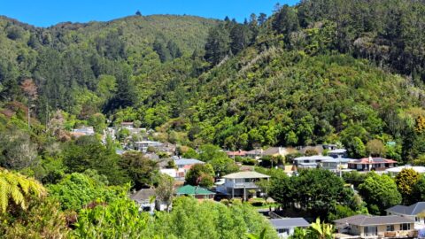
About the history of Sunny Grove in Wainuiomata. The name of Sunny Grove took place on a rainy day...
Wainuiomata: Photos (Page 15)
Photographic timeline of Wainuiomata
Documenting Wainuiomata with an ever growing collection of photos. This includes locations such as the town centre, suburbs, landscapes, coastline, rivers, and reserves.
Photo articles are dated by the age of the main photo or the main subject rather than when the article was written. This places the photos in a timeline. Some photos date back to the 1800s. We either have permission to show these old photos or they have no copyright. Modern photos on the site were taken by David Johnson of Wainuiomata.Net unless otherwise specified.
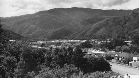
Moores Valley Road, as seen from a hill behind the shops in The Village. You can see Hine Road...
Looking at the western end of Moores Valley Road Wainuiomata in 1957. Hine Road can be seen in the...
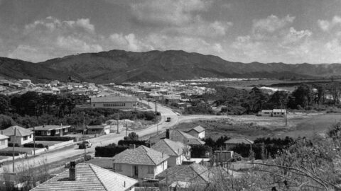
Looking towards Main Road Wainuiomata and Black Creek Bridge, with Moohan Street still under construction.
The Community Centre was also used as a Plunket rooms & later became the library which is now housed...
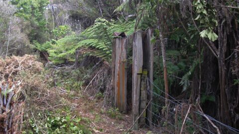
This old gate once stood atop Dick’s Hill, or more precisely, on Hair Street Ridge behind Hair Street. It...
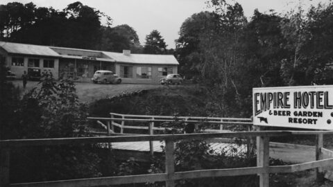
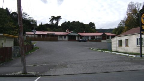
View of the Empire Hotel in 1955. This pub was located on Moores Valley Road just back from the...
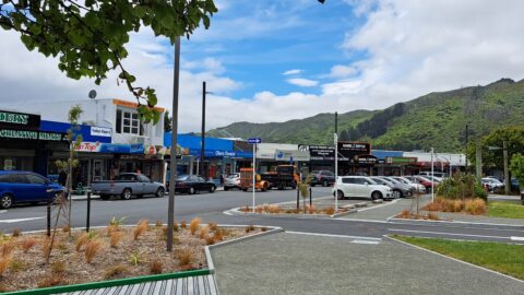
Queen Street in Wainuiomata is a central hub, hosting a range of shops, the Community Centre, and the Public...
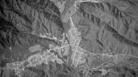
The image of Wainuiomata from 1954 offers a fascinating glimpse into the area's history, as it predates Arakura and...
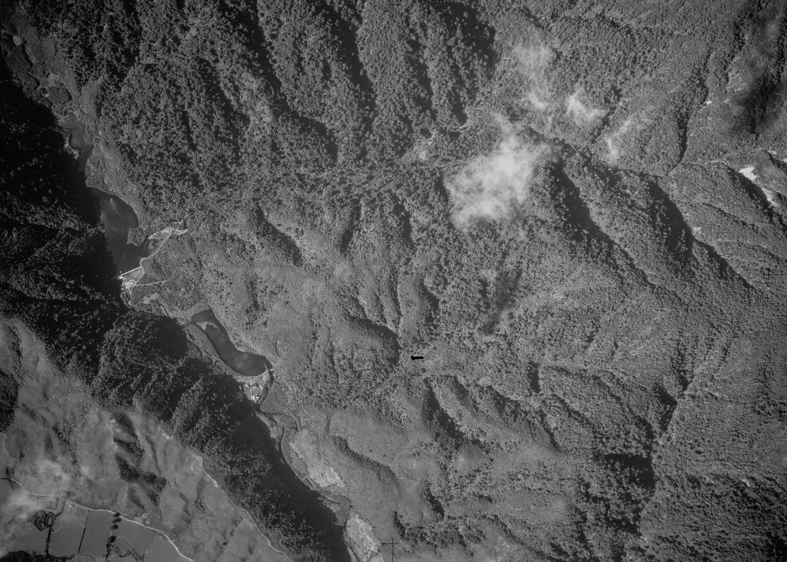
The image of the Waterworks from 1954 shows both the Lower Dam and Morton Dam. You can see homes...
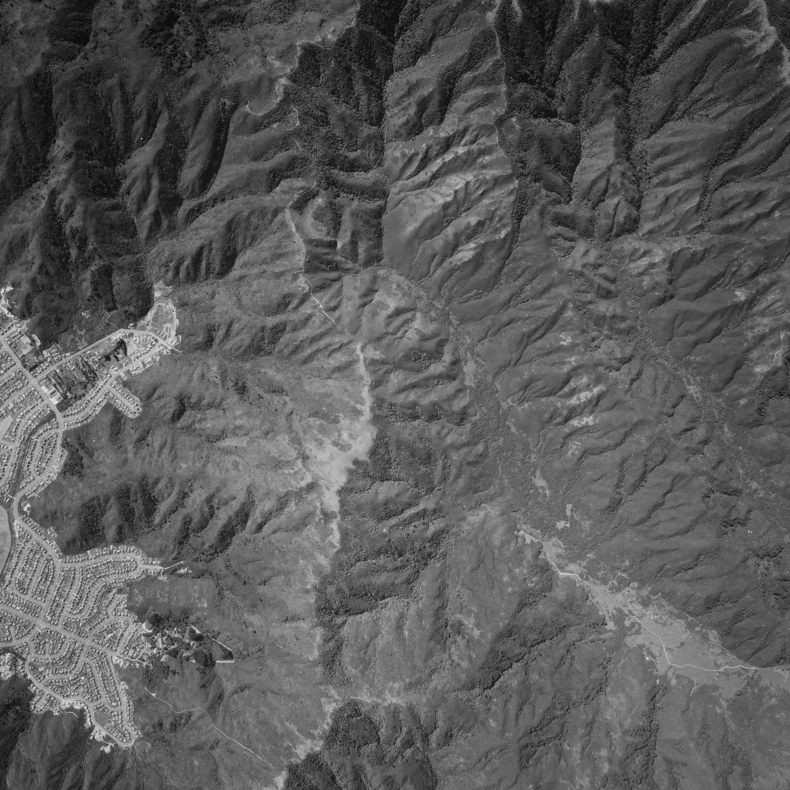
An aerial photograph taken on 30th December 1974 captures the upper Moores Valley and you can see the Strand...
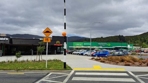
The Strand in Wainuiomata is one of the main commercial streets, complementing Queen Street as part of the central...
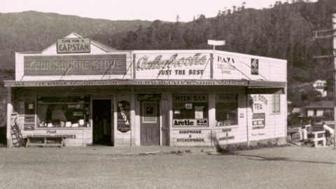
Lovegrove's Store, situated at the intersection of Moore's Valley and Main Road, underwent significant alterations and extensions in 1954.
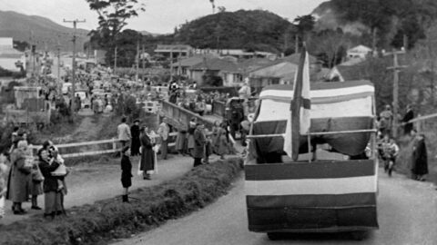
Looking north along Main Road from the south side of the bridge in 1953, a procession of floats makes...
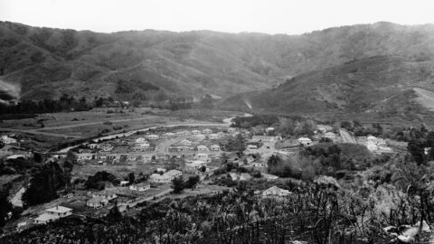
A timeline taken from the same lookout near the car park at the top of the Wainuiomata Hill. Click...
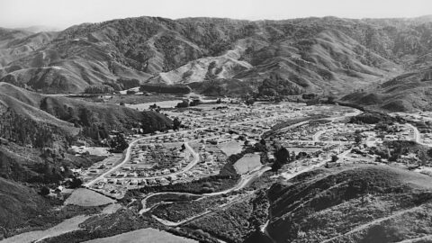
Aerial view of Homedale (circa 1953) showing some interesting features. Inc: Hine Road finishes at the intersection with Poole...
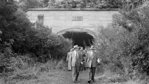
In the late 1920s, the Wainuiomata Development Company aimed to improve access to the Hutt Valley by building a...
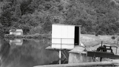
View of the old dam circa 1950, showing the boatshed in the background and visible pipework along the top...
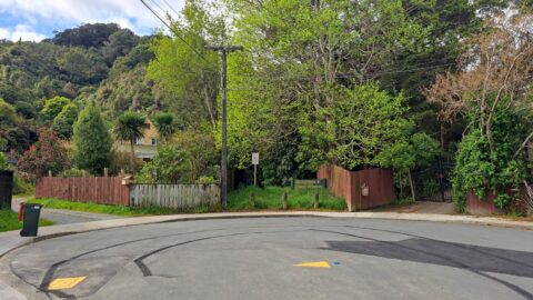
Hair Street branches off Moores Valley Road near The Village. Despite its proximity to shops, the street feels secluded.
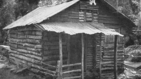
The Log Cabin was a hut situated in Catchpool Valley, serving as the starting point for numerous tracks leading...
WAINUIOMATA TOURS

Step into the wilderness of Wainuiomata and experience it for yourself. Learn more →.
WAINUIOMATA MUSEUM

Located in Wainuiomata Primary School, it is open 2pm-4pm every Sunday. Learn more →.
BUY ME A COFFEE
Support Wainuiomata.Net with a donation and help us continue to uncover local history, capture photos, drink coffee, and promote Wainuiomata.
Scan or click the code below:


Support
Make a donation and help us continue to uncover local history, capture photos, drink coffee, and promote Wainuiomata.
Scan or click the code below:
DISCUSSION