
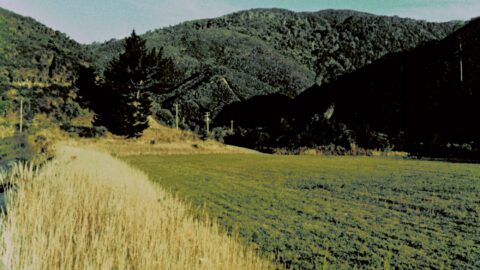
Photo circa 1970s of the beginning of Reservoir Valley with some pipes to the left and a firebreak visible...
Wainuiomata: Photos (Page 13)
Photographic timeline of Wainuiomata
Documenting Wainuiomata with an ever growing collection of photos. This includes locations such as the town centre, suburbs, landscapes, coastline, rivers, and reserves.
Photo articles are dated by the age of the main photo or the main subject rather than when the article was written. This places the photos in a timeline. Some photos date back to the 1800s. We either have permission to show these old photos or they have no copyright. Modern photos on the site were taken by David Johnson of Wainuiomata.Net unless otherwise specified.
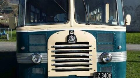
New Zealand Railways Road Services launched the first local bus service in 1941, using Bedford SB3 vehicles that became...
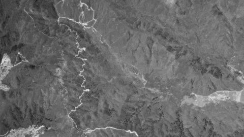
An aerial photograph taken on 30th December 1974 captures the upper Moores Valley of Wainuiomata with Naenae also in...
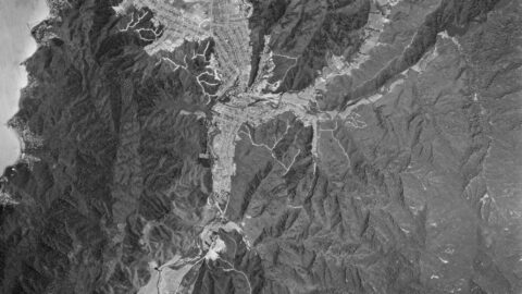
This aerial photo, taken on 30 December 1974, showcases Wainuiomata and the extensive firebreaks on its surrounding hills.
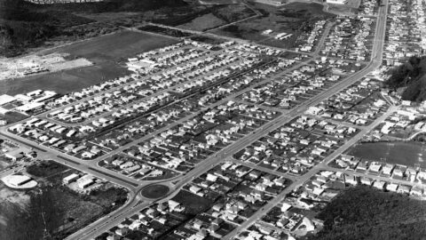
A 1971 aerial view of Wainuiomata shows Parkway College, now called Wainuiomata High School, under construction on the far...
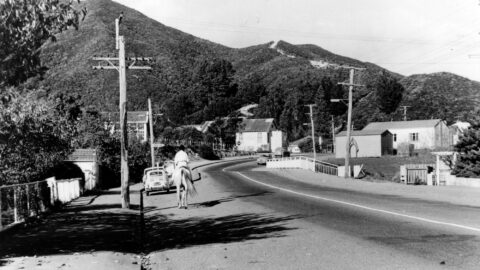
This photograph looks along Main Road in Wainuiomata around the year 1970. Visible in the scene are several older...
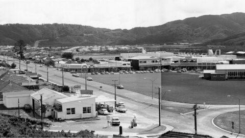
Photo of Wainuiomata Road & Fitzherbert Road (circa 1970) taken Todd, Harry Jackson (1918-1993) of the Wainui-o-mata Development Ltd.
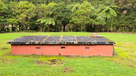
The O-K Kinney Strainer Chamber formed part of the O-K pipeline system, which carried raw water from the Orongorongo...
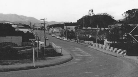
View of the Main Road Bridge on Main Road, Homedale, Wainuiomata, with several period cars visible in the background.
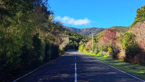
Explore the history of Whitcher Grove, once home to the Sinclair family, known for their mill operation and stately...
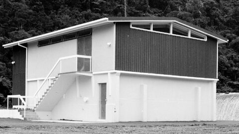
The Morton Dam Strainer Building in Wainuiomata filtered water from the dam before it was piped to Wellington.
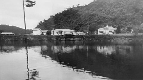
Images and memories capturing the essence of the Wainuiomata Waterworks as shared by the Reidy Family, and conveyed by...
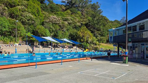
The Wainuiomata Baths is are one of the valley’s most enduring community facilities and have played a central role...
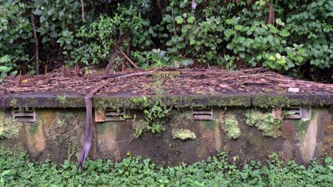
A structure containing 4 venturi meters to measure water flow on the O-K pipeline was constructed in the 1960s.
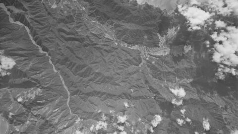
This aerial photo, taken on 7 December 1966, captures Wainuiomata during a period of development. Arakura is shown under...
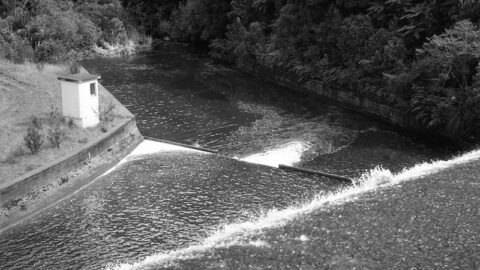
Looking over the spillway of Morton Dam circa 1965. In view is the Morton Dam Strainer Building which was...
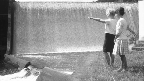
Looking at the Morton Dam spillway in action in the year 1924. Morton Dam was once the main source...
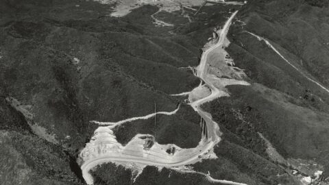
Aerial image of Wainuiomata Road in 1964, showing Wainuiomata Road over the Wainuiomata Hill summit and into the valley.
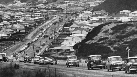
A line of vehicles traversing a freshly paved stretch of Wainuiomata Road as it climbs up Wainuiomata Hill.
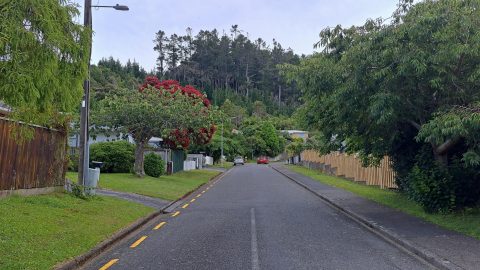
Willis Grove traces its origins to the time when the valley was transitioning from farmland and bush into a...
WAINUIOMATA TOURS

Step into the wilderness of Wainuiomata and experience it for yourself. Learn more →.
WAINUIOMATA MUSEUM

Located in Wainuiomata Primary School, it is open 2pm-4pm every Sunday. Learn more →.
BUY ME A COFFEE
Support Wainuiomata.Net with a donation and help us continue to uncover local history, capture photos, drink coffee, and promote Wainuiomata.
Scan or click the code below:


Support
Make a donation and help us continue to uncover local history, capture photos, drink coffee, and promote Wainuiomata.
Scan or click the code below:
DISCUSSION