
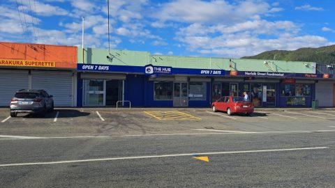
Norfolk Street in Wainuiomata is a local neighbourhood retail strip that took shape in the early 1960s. It serves...
Wainuiomata: Photos (Page 14)
Photographic timeline of Wainuiomata
Documenting Wainuiomata with an ever growing collection of photos. This includes locations such as the town centre, suburbs, landscapes, coastline, rivers, and reserves.
Photo articles are dated by the age of the main photo or the main subject rather than when the article was written. This places the photos in a timeline. Some photos date back to the 1800s. We either have permission to show these old photos or they have no copyright. Modern photos on the site were taken by David Johnson of Wainuiomata.Net unless otherwise specified.
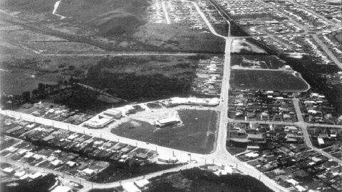
Aerial view of Wainuiomata in 1963 showing Queen Street and Arakura. In 1958, Fraser Barton opened the first shop on...
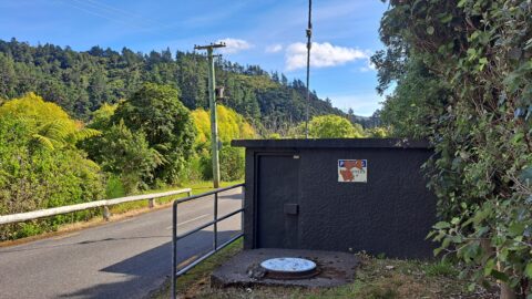
The Control Valve Building houses valves and related equipment that regulate the flow and pressure of water within the...
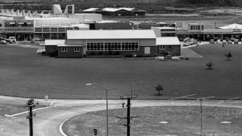
The Community Centre was also used as a Plunket rooms & later became the library which is now housed...
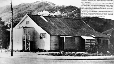
The Public Hall once stood at the corner of Main and Homedale Roads. It was replaced by the School...
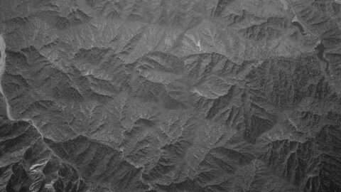
This aerial photo, taken on 8 February 1961, captures Moores Valley and Reservoir Valley, along with Sunny Grove and...
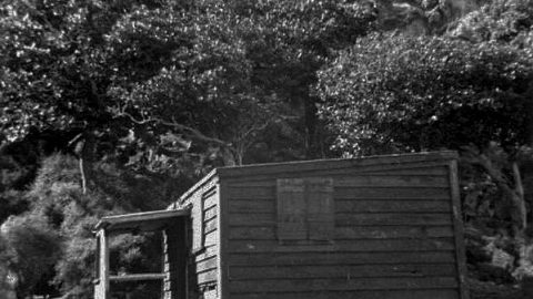
Coastwatchers Hut once stood near Okakaho Stream at Fitzroy Bay on Wainuiomata’s south coast until it was destroyed by...
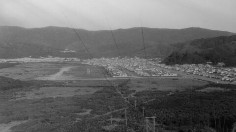
View of Wainuiomata Valley as seen from the summit of Wainuiomata Hill circa 1960. The suburb of Parkway and...
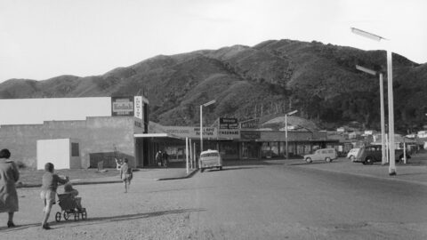
Looking at the second section of Queen Street around the year 1960. Photo is taken on The Strand which...
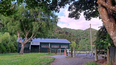
Wainuiomata AFC is a community football club based at Richard Prouse Park in Wainuiomata, offering teams and development opportunities.
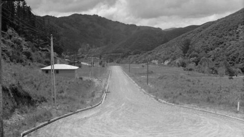
Development of houses took place in the 1960s in Sunny Grove. However, this photo from 1958 shows at...
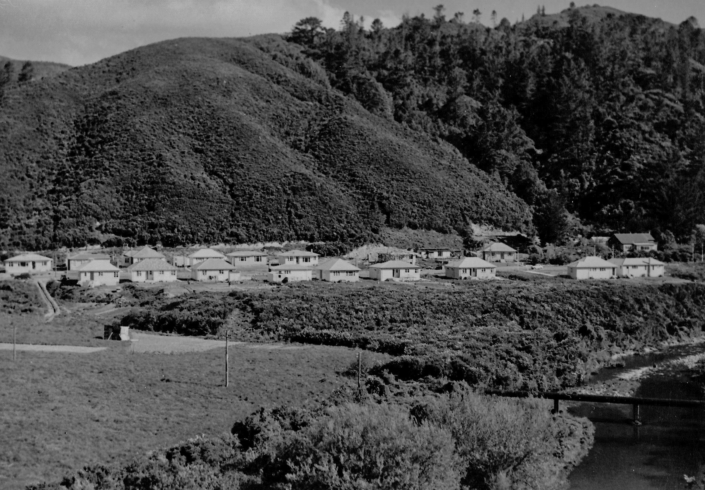
This photograph looks along Hine Road including Sinclair House in 1958. Sinclair House was built in the 1860s.
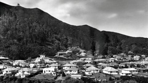
Looking towards Poole Crescent from The Rock, around 1958. Many photos were taken from this spot, as The Rock...
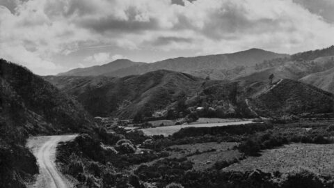
Photo of Hine Road Wainuiomata in the late 1950s. The hillsides show extensive logged areas overgrown with gorse.
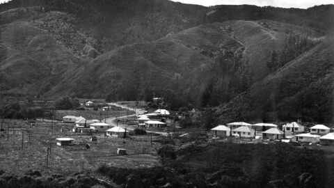
Photo of Hine Road Wainuiomata in the late 1950s. The hillsides show extensive logged areas overgrown with gorse.
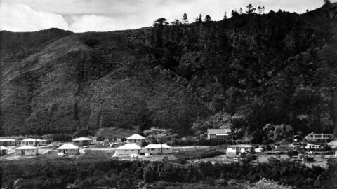
This late-1950s photo of Hine Road, Wainuiomata, shows newly built houses with the hills of Harry Todd Recreation Reserve...
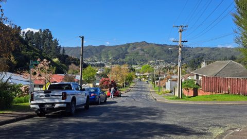
Lees Grove was likely named in the 1950s after Andrew Lees, a financial backer of Wainui-o-mata Development Limited.
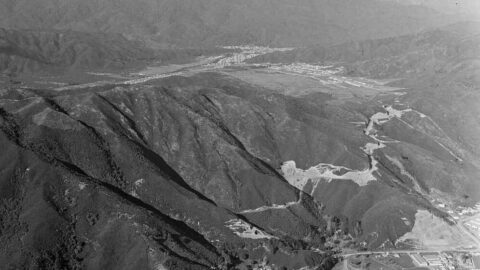
This photo shows a major road upgrade on the Lower Hutt side of the hill. It also highlights the...
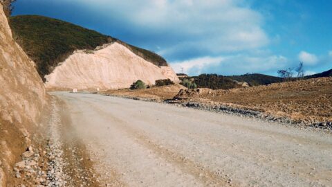
A glimpse back to 1958 showing a freshly graded stretch of roadway along Wainuiomata Road (Wainuiomata Hill Road).
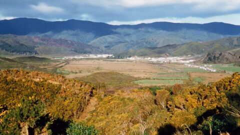
A color image of the Wainuiomata Valley from the summit of Wainuiomata Hill. While there is housing, Parkway is...
WAINUIOMATA TOURS

Step into the wilderness of Wainuiomata and experience it for yourself. Learn more →.
WAINUIOMATA MUSEUM

Located in Wainuiomata Primary School, it is open 2pm-4pm every Sunday. Learn more →.
BUY ME A COFFEE
Support Wainuiomata.Net with a donation and help us continue to uncover local history, capture photos, drink coffee, and promote Wainuiomata.
Scan or click the code below:


Support
Make a donation and help us continue to uncover local history, capture photos, drink coffee, and promote Wainuiomata.
Scan or click the code below:
DISCUSSION