Today, we discovered the Kittyhawk crash site and confirmed its location with five plane parts.
The objective for the day was to locate and confirm the Kittyhawk crash site above Skerretts Creek. To assist with this, I was joined by Martin Gembitsky, who had visited the site as a youth back in the 1960s, around 20 years after the crash.
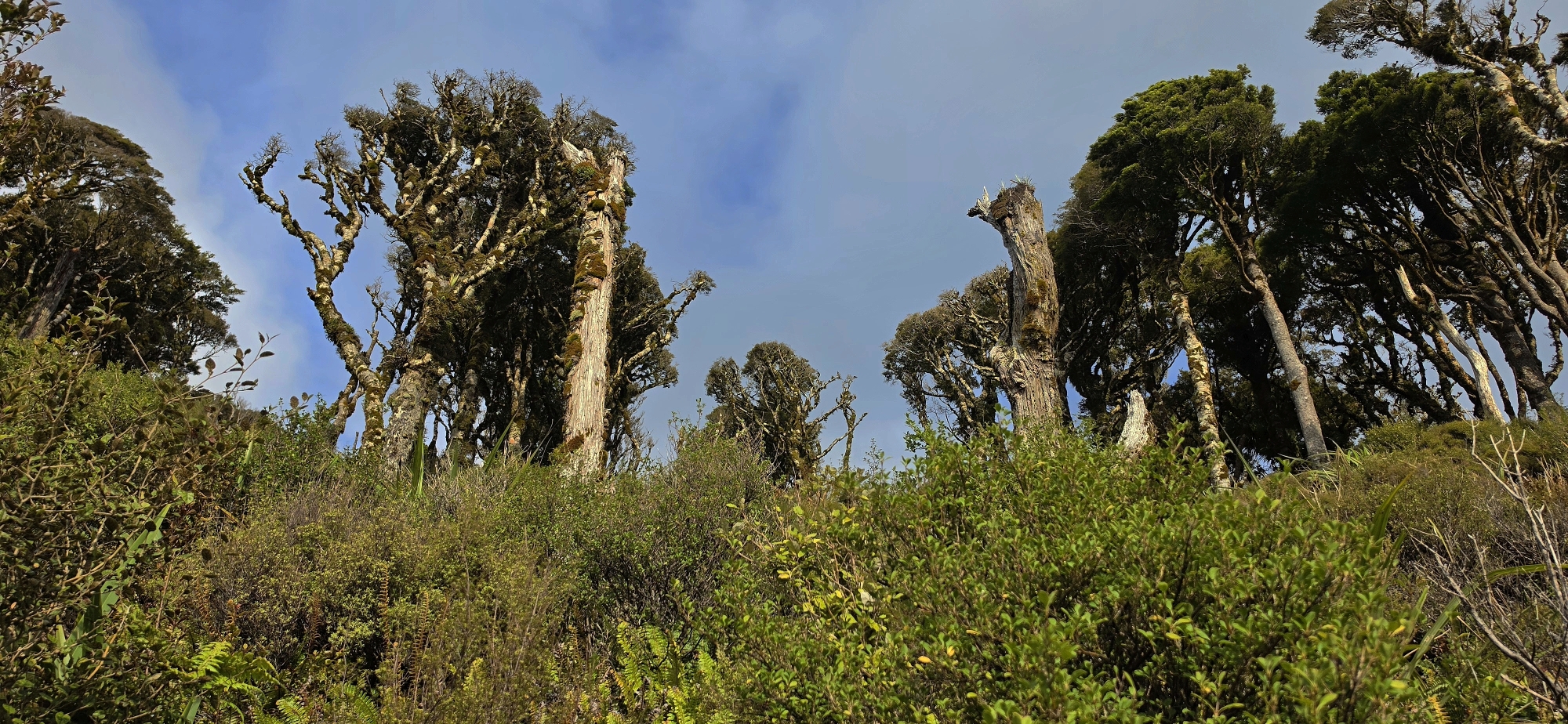
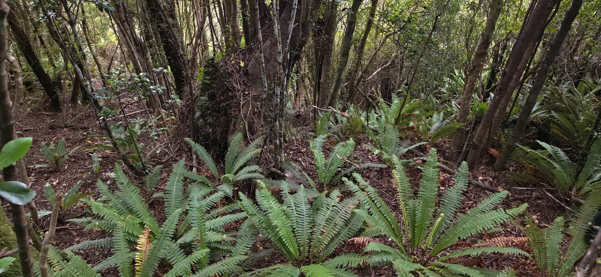
We began at Hine Road Recreation Area, making our way up to the top of Sunny Grove before continuing along the Whakanui Track and turning onto the McKerrow Track. Our initial target was a clearing I believed to be near the crash site. However, I had some lingering doubt, recalling that the correct location may have been at the next clearing further along. It had been about a year since my last visit, so I was not that confident. From that vantage point, Martin said it looked like the correct site, so we decided to head down.
Despite some initial doubt, we assumed we were in the correct area at the first clearing and chose to descend further west into denser native bush, following a route that had proven easier on previous trips. However, upon reaching what appeared to be the right elevation, the terrain felt unfamiliar, particularly as we entered another gully while moving east.
Suspecting we had descended too far west, we adjusted our course eastward in an attempt to regain the correct line. Instead, we encountered multiple small gullies. This raised immediate concern, as the correct route should have remained within a single gully, making it unlikely that we would need to traverse several to reach the intended one.
Giving up this route, I climbed back up towards the ridgeline, and immediately re-joined a formed track. At first, I assumed it was the McKerrow Track, but it soon became clear from familiar markers, including a cairn indicating an informal route into Nikau Creek Valley, that we had in fact returned to the Whakanui Track. At this point, fatigue was setting in a bit, and there was some question as to whether we would have the energy to attempt the correct descent. However, having come this far, we decided to push on.
Although I felt a degree of disappointment, I was also quietly pleased to have explored the area and gained some familiarity with it. After all, this is part of bushbashing. At times you lose your way, and the challenge lies in finding it again. It is all part of the experience.
 From the Whakanui Track, we retraced our steps and rejoined the McKerrow Track, continuing past the first clearing to a second, which we both immediately recognised as the correct location. Rather than risk another navigational error by taking my usual, easier westerly descent, we chose to head directly down from the clearing via the more open, albeit more challenging, route.
While more demanding, the descent proved more manageable this time. The scrub was dense, but wearing long trousers prevented the usual scratches and cuts I would typically get when wearing shorts, which was my normal attire for bush bashing. After being stung by wasps on three separate occasions, I now wear long trousers tucked into my tramping socks.
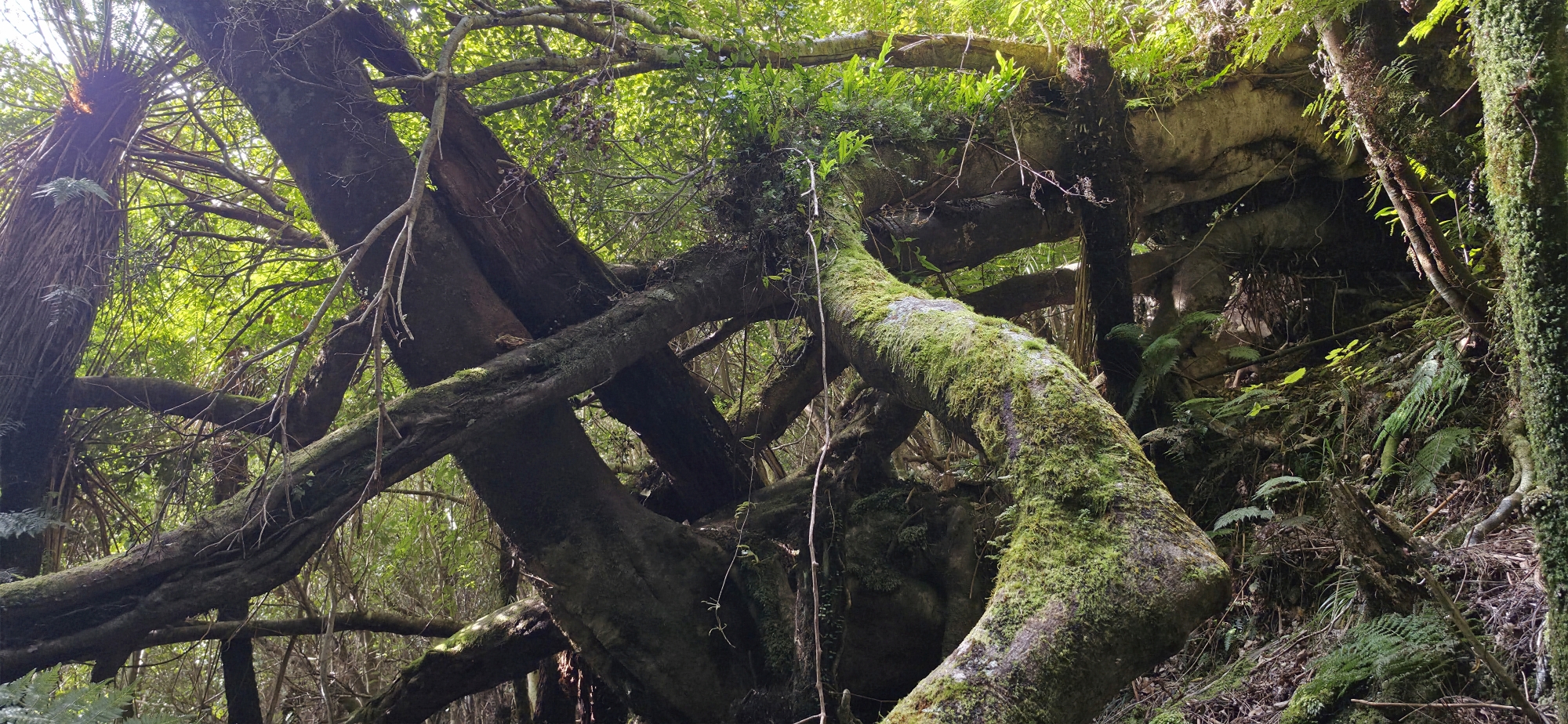 We eventually moved beyond the low scrub and dropped into a pocket of native bush, where the terrain became noticeably easier to navigate. From there, we split up to independently to look for the site. Martin moved towards the area he instinctively remembered from the 1960s, while I headed for the location where I had found aircraft fragments on previous trips, which at the time was the highest known point of debris on the hillside.
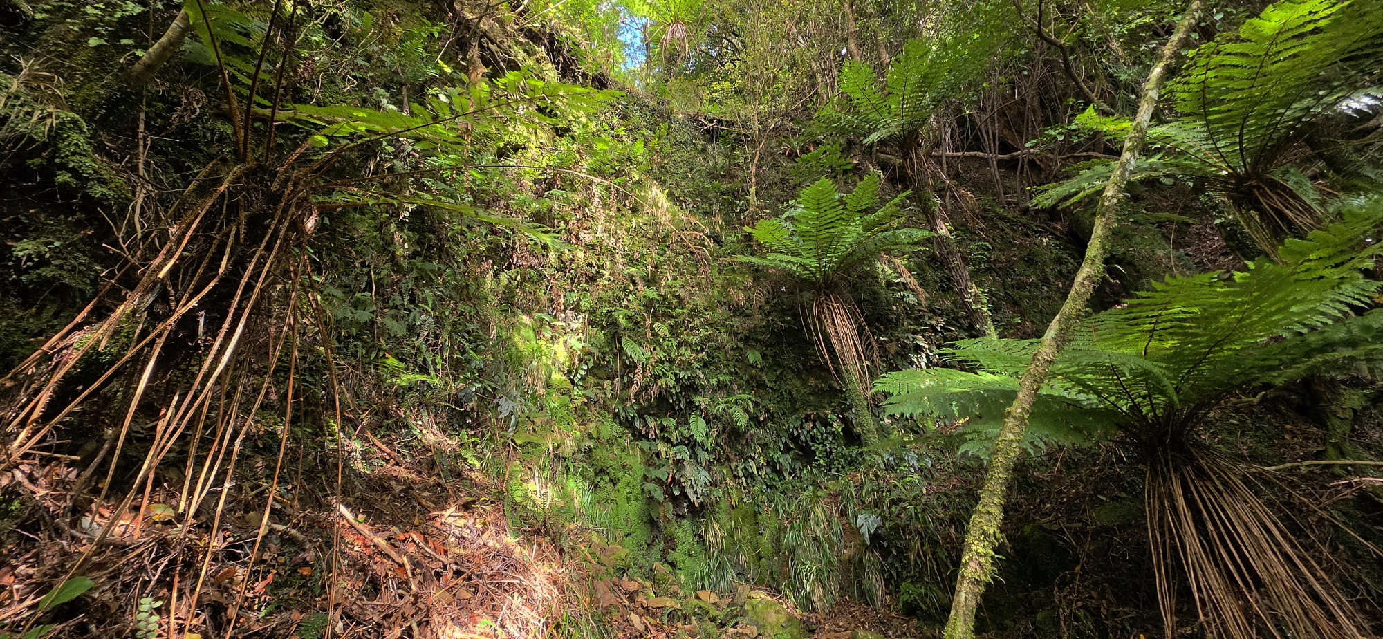
The terrain here was extremely steep, requiring careful use of handholds to maintain footing. On reaching the site where I had previously found at least five aircraft parts, I confirmed the location by spotting a set of aircraft callipers I had hung on a tree branch during an earlier visit.
After a brief investigation, I continued downslope to the fuselage area, documented the site with photographs, and then returned to reconnect with Martin via the westerly arm of the creek, which provides an easier ascent, aside from one particularly steep cliff section.
 Onroute I was unable to reach Martin by voice, so I phoned him, taking advantage of the unexpectedly strong mobile signal. I began working my way closer his position, and shortly after he phoned back to say he had located the crash site, along with two pieces of aircraft wreckage. His position was perhaps 30 metres upslope from my own site that I initially visited, where I have previously found aircraft fragments.
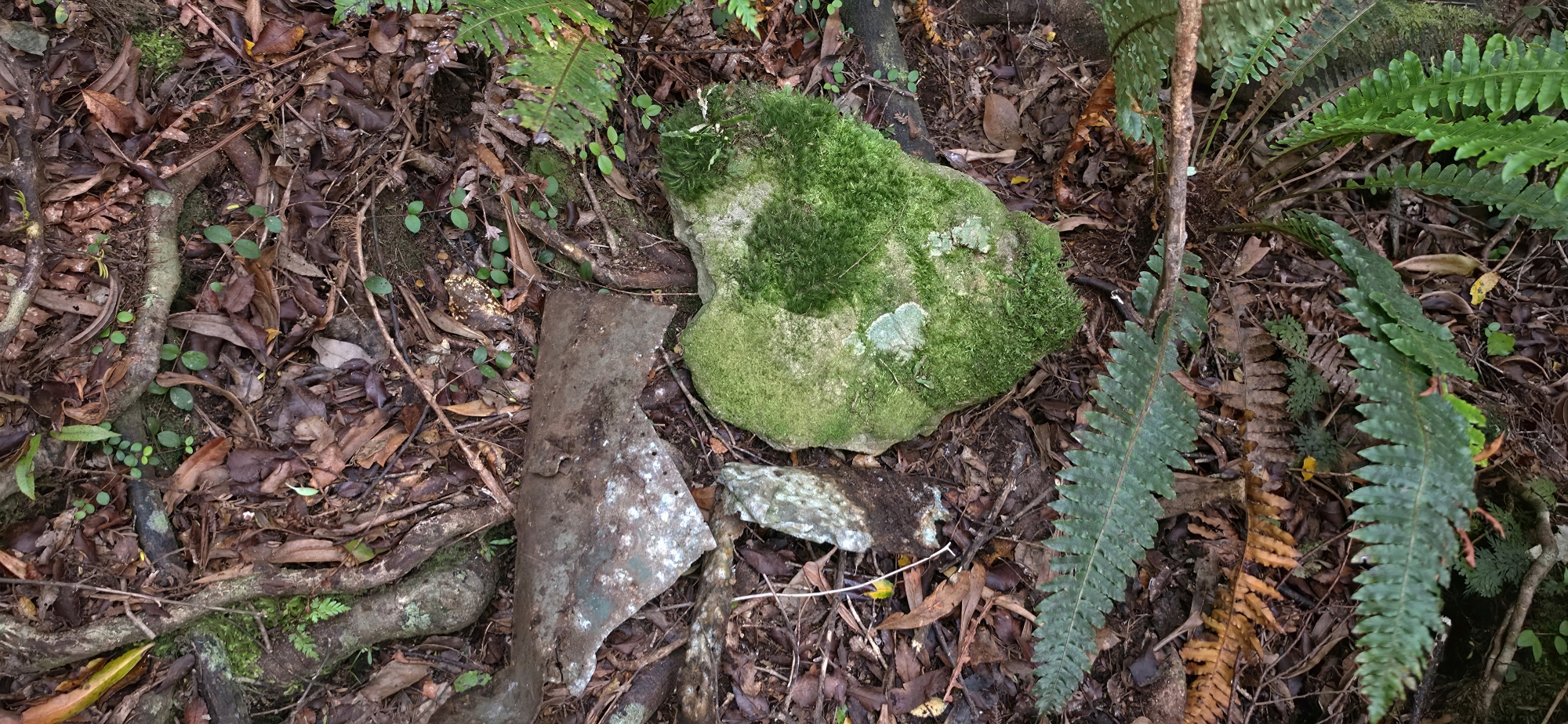 At Martin’s site, he identified the tree struck by the aircraft back in 1943, which had been topped on impact, along with the immediate landing area. He also showed me fragments of the aircraft skin, still bearing rivet holes which fit with the location of the crash site. While surveying the area, I located an additional piece of similar material. At one point, Martin pointed out a rock where he had sat for lunch during his visit in the 1960s; where I found another fragment of the aircraft. We continued searching the surrounding area, but found nothing further, and paused there briefly for lunch, even though it was late afternoon.
After completing the photographic documentation, we began our return, mindful of the fading light. The climb back up through the scrub to the ridge was demanding, with fatigue setting in and each step requiring effort to lift my legs clear of the dense vegetation.
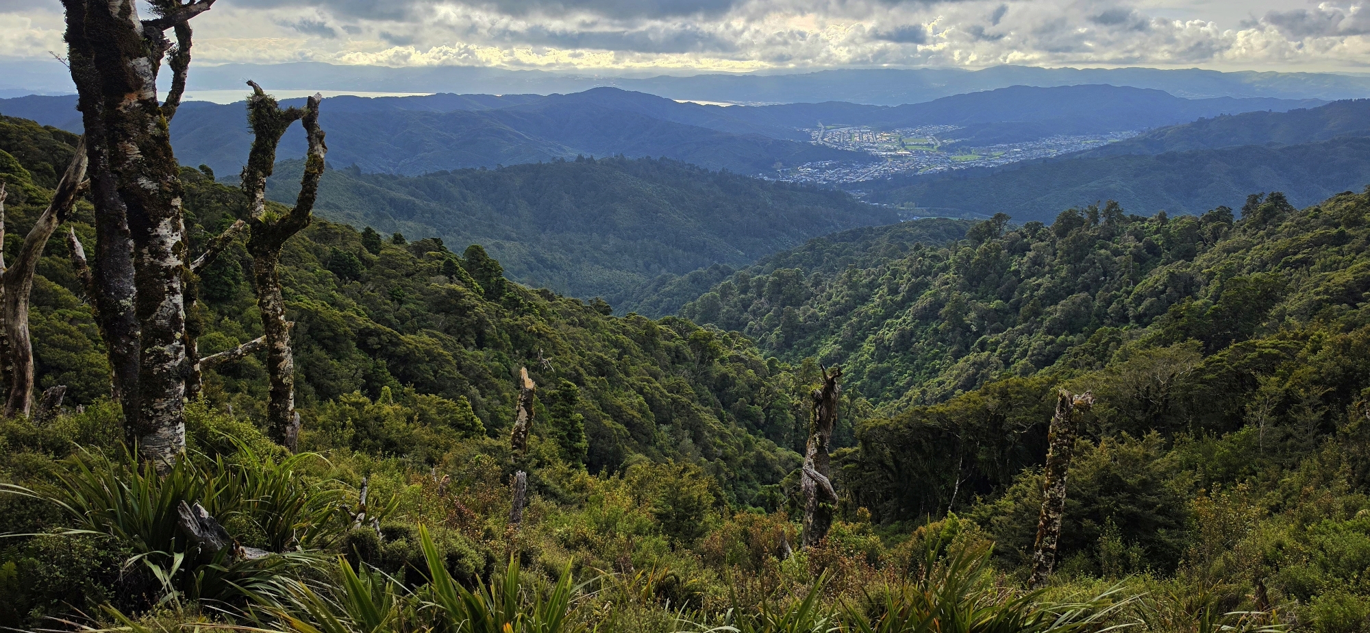
By the time we regained the McKerrow Track and rejoined the Whakanui Track, both of us were feeling the strain. My ankle was starting to give way, while Martin was dealing with significant muscle fatigue in his legs. At the top of the Whakanui Track, signage indicated a 1.5 hour descent to Sunny Grove (and Hine River), suggesting we might be finishing in the dark. In the end, we made good time and reached the car before nightfall.
With that, we wrapped up the day and returned to civilisation, having successfully located and confirmed the Kittyhawk crash site.
With the objective achieved, this location now feels complete and mostly documented. That said, I am happy to guide others to the location if there is genuine interest.


