The Kittyhawk crash site is mapped through dense native bush and steep ridgelines.
Today offered near perfect conditions. Wainuiomata was forecast to reach 24 degrees, with the tail end of Cyclone Vaianu expected to arrive later that evening. It was an ideal window to get out and complete the mission before the weather turned.
The plan was to largely repeat my previous outing, Bush Bash 72, but with a different objective. Rather than photographing the Kittyhawk crash site, the goal this time was to map it accurately on Google Earth. I recorded a private video to capture the surrounding terrain and highlight identifiable markers such as distinct trees and their position relative to the site.
To add some variety, I also set out to photograph large podocarp trees along the route and investigate what I believed to be a link track connecting the Whakanui and McKerrow tracks and to map a more defined access route to the crash site.
The track proved to be an effective shortcut, bringing me quickly onto the McKerrow Track near the 1943 Kittyhawk crash clearing. While I missed some of the panoramic views from Whakanui, these were already well documented from previous visits.
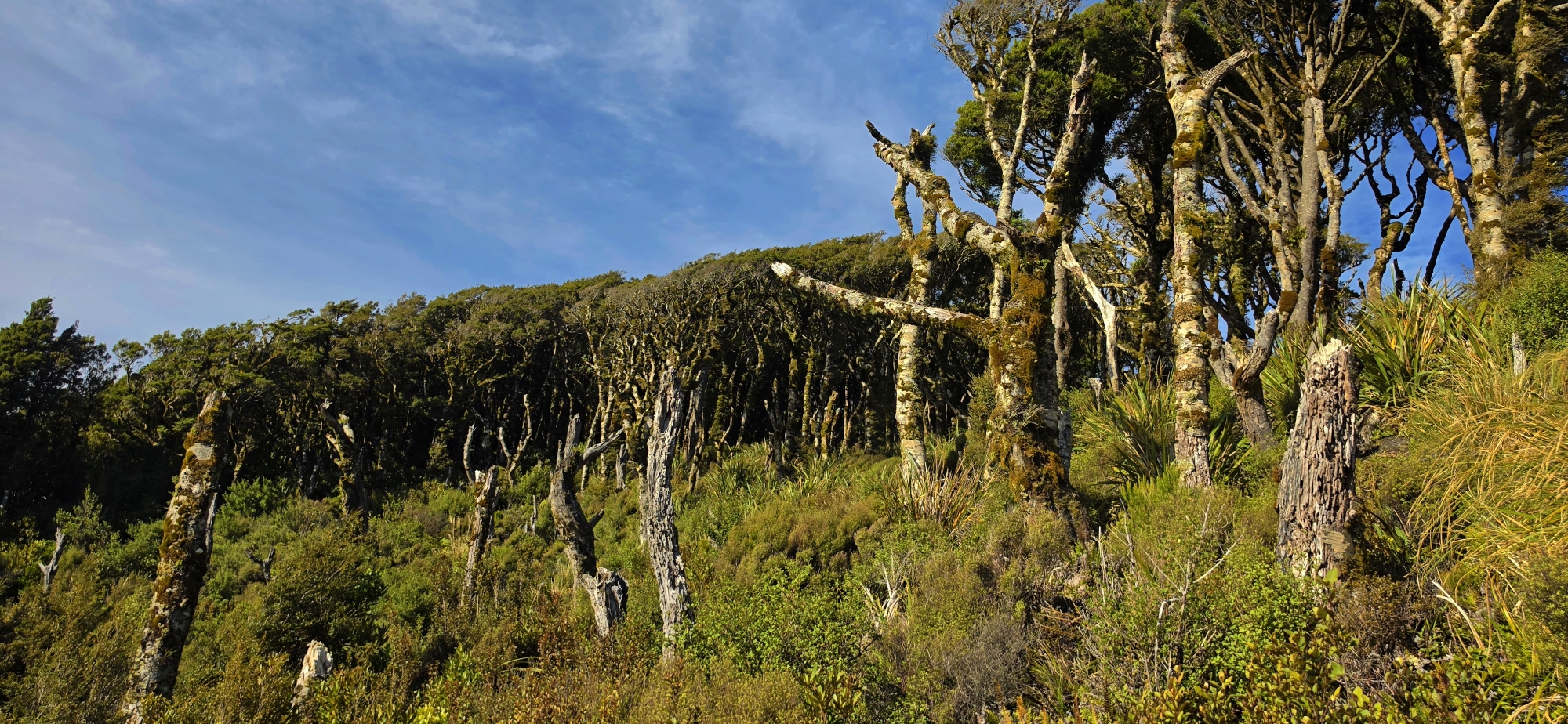
From the clearing, I began descending the scrubby hillside while filming, heading toward a tree I believed the aircraft clipped before impact. While not yet confirmed, its position and characteristics were consistent with observations from the previous week.
The descent was demanding. Vegetation thickened considerably, dominated by bush lawyer, a prickly climbing plant known for its backward facing hooks. It clung to clothing and skin and twice attempted to trip me. This species thrives along forest margins and regenerating bush and can be extremely obstructive.
Reaching the vicinity of the suspected impact tree required pushing through dense, low canopy forest. Beyond it, the terrain opened slightly, revealing the crash site previously identified. I moved around and behind the tree, searching for visual markers that could later be recognised in satellite imagery, particularly warped or distinctive surrounding trees.
After circling the area, I returned to the crash site and searched for additional aircraft fragments but found none. I then moved downslope to examine the terrain beneath the site and the ridge crowned by the tree. A prominent rock face formed part of this slope, which I scrambled up to check for debris. From there, I picked up the faint track crossing the ridge or spur. I followed this line along the hillside, assessing whether it could offer a more practical access route than the direct descent to the crash site. I had travelled along this section before, so I knew it would connect through, but the key question was how close it ran to the McKerrow Track above.
At times the track was clear, but it often faded or split into multiple lines. These were likely natural terraces where steep slopes briefly levelled before continuing. The route gradually angled upward toward the western arm of Skerretts Gully, a curved basin that I imagine becomes a flowing creek in heavy rain before dropping over a steep cliff. Further down, it merges with Skerretts Creek near the fuselage site. On the opposite side of the crash area, the eastern arm begins as an old slip, though dense vegetation and the steep gradient makes access there equally difficult.
At this point, I chose to leave the faint track and head directly uphill. Continuing the track would have taken me over the western gully arm into a different gully system. Heading directly up the hillside, the climb was short, and I soon regained the McKerrow Ridge, confirming this route as the most efficient access to the crash site. Once back on the McKerrow Track, I noted key markers to guide future descents.
For the return journey, I followed the McKerrow Track before rejoining the same link track. This time I stayed on it more consistently, again using the ridgeline and ribbon markers to maintain direction despite again losing the track intermittently.
Back on the Whakanui Track, I continued photographing large podocarps before descending to the valley floor. I exited the forest just before dark, completing the day’s objective.


