The mission today was to follow Nikau Creek through the gully and walk its full length
Today, I wanted to walk the full length of Nikau Creek after someone claimed there was a waterfall along the old section of the track. I thought I would check it out for myself and follow the creek as far as I could, knowing this would eventually require me to climb towards McKerrow Ridge, some 630 metres above sea level.
 I began along the Gums Loop Walk, then continued onto the Nikau Creek Track. Once I reached the end of the formed track, I carried on along the abandoned section of the track.
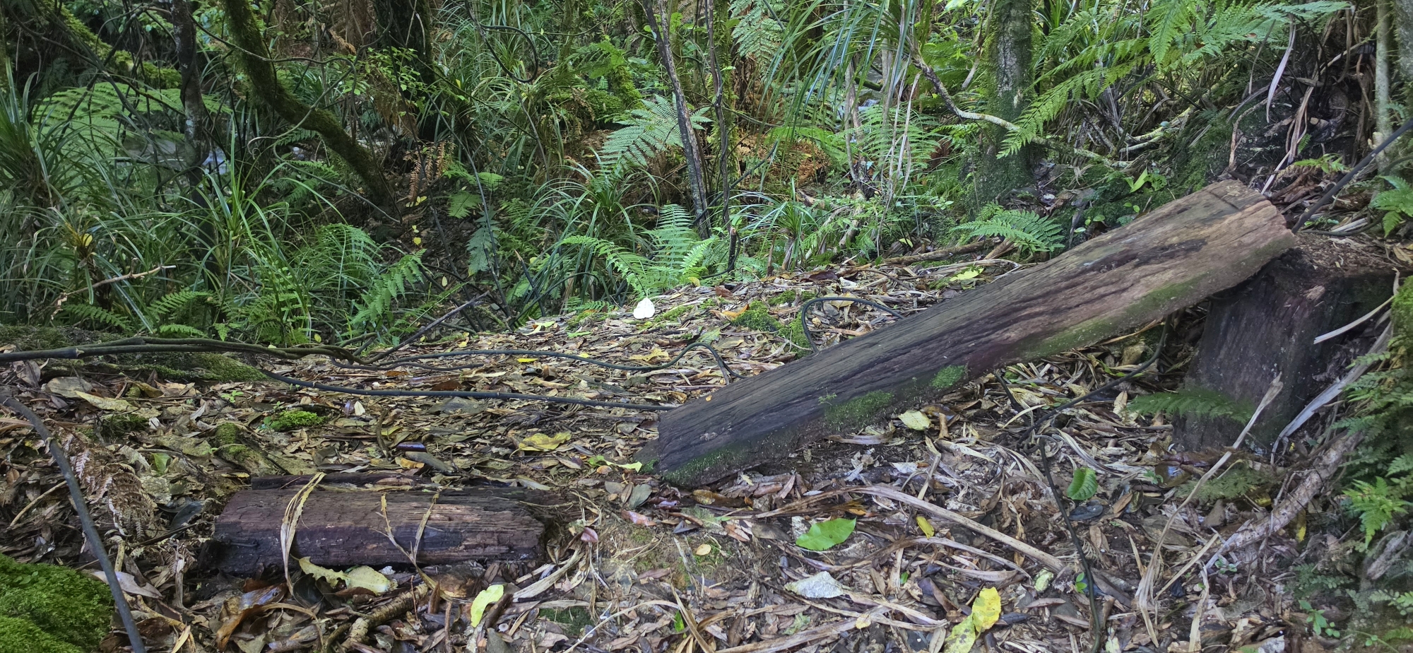
When I reached the old wooden bench seat, I noticed it was broken. It had been there since I was a kid, and probably for decades before that, but today it was damaged and now seems likely to slowly rot away. However, the hidden geocache was still in place beneath one of the seat pillars.
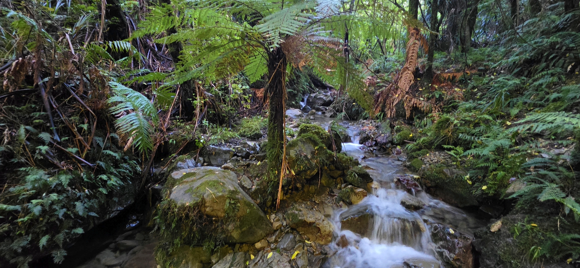
I had not found the waterfall yet, despite being told it was in this section of the track. I continued upstream as the water flowed through an increasingly narrow gully. Each time I passed a tributary dropping steeply down the gully walls, the main creek lost some of its flow, making progress easier. Eventually, I could step from one side of the creek to the other, choosing whichever bank offered the better route.
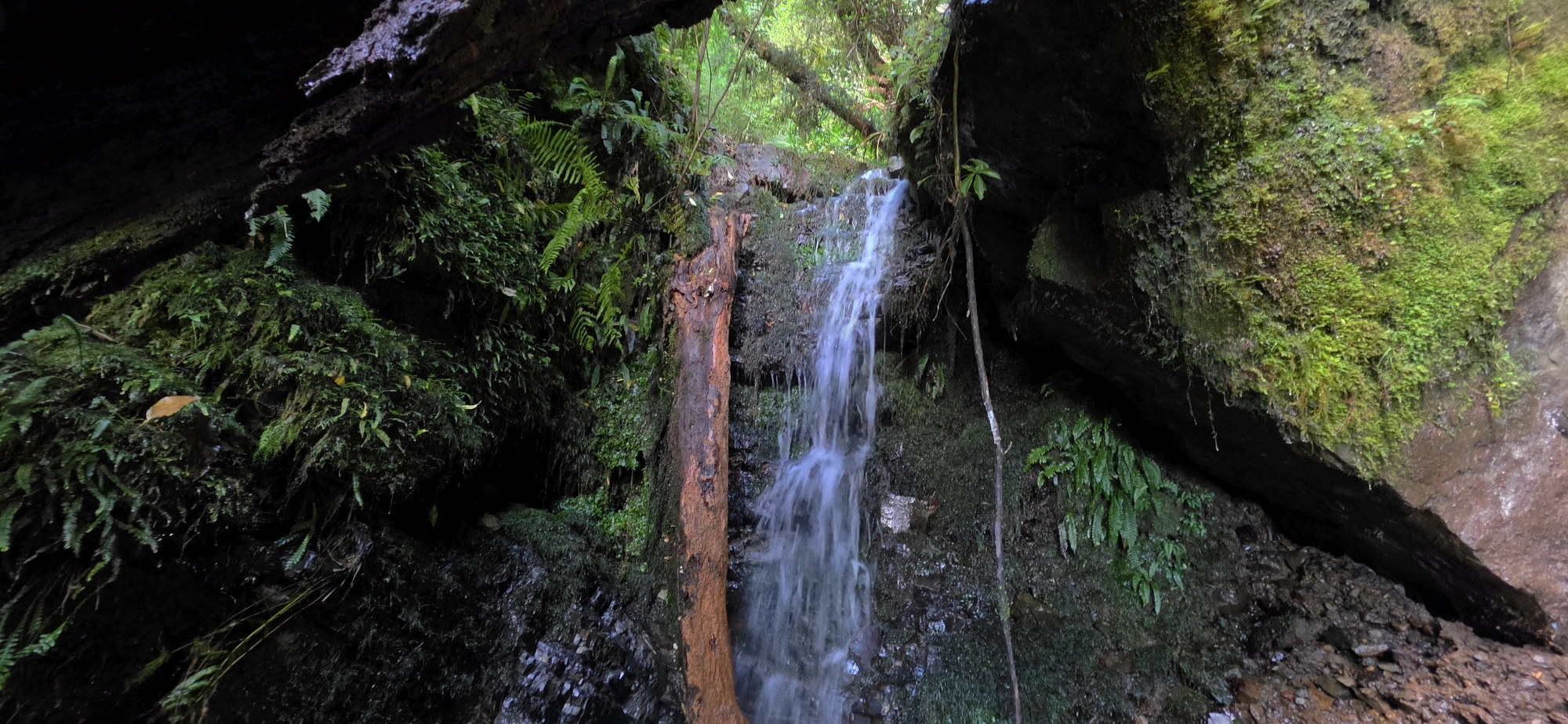 I came across numerous features that could be described as waterfalls, although none were especially spectacular. They were more accurately cascades than true waterfalls. There were also many slips and fallen trees lying across the creek, so while some sections were very scenic, others looked more like a quarry. Eventually, I reached the tallest waterfall so far.
The problem was that the waterfall was too high and steep to climb, without ropes. The gully walls were mainly bare rock faces and loose slips, offering no safe handholds for getting around it. I headed back a little to where there was more vegetation, and the western flank looked like the better route around.
I climbed up and then tried to work my way back towards the waterfall, but every option had a dangerous sections like steep rock faces or live slips, and one wrong move could have sent me down into the rocky creek bed below. I continued higher where there were better handholds, but eventually I was too high to make it worthwhile trying to descend back into the creek.
At that point, I decided to continue up the hillside and aim for the Whakanui Track, which I estimated would be near the top of the ridge. It was not only a steep climb, but a a reasonably long one as well. The ridge rises abruptly to 600 metres or more above sea level. On another bush bash adventure, I had climbed down this same hillside from the Whakanui Track, although that was further north. This time, I was much deeper in the gully.
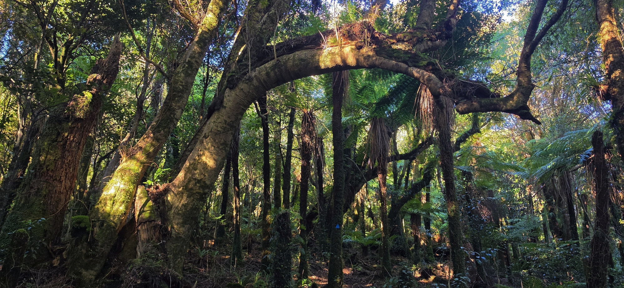 I kept climbing until I reached a scenic flatter section. While walking through there, I noticed a blue triangular tag on a tree. I had found a track, but it was not the Whakanui Track, which left me somewhat perplexed. It was clearly a bait line, so I followed the tagged route upwards and soon heard voices. Two people came into view, so I called out to them to avoid startling them.
They turned out to be volunteers from the Remutaka Conservation Trust. At first, they seemed a little taken aback to find me there as I kind of popped up from below. To make matters worse, I had recently been to a dermatologist and had some skin blemishes frozen off my face, including one on my forehead which kind of resembled a bullet hole, so I may have looked a bit odd. Given that I had also just appeared from nowhere, they seemed slightly apprehensive.
One of them came over and we started talking, while the other stayed further back, near a trap. He asked where I had come from and, although I explained it, I do not think he fully understood the route I had taken. He was friendly and asked where I was heading. I told him I needed to find the Whakanui Track, and he said to follow the blue tags down, as they would lead me there. I then headed off.
It turned out that I had underestimated how far back in the gully I was. The Whakanui Track was not directly above me as I had thought, because it deviates from the ridge before reaching the area where I now was.
As instructed, I followed the tags down and soon reached the familiar intersection of the Whakanui Track and the McKerrow Track. I then started down the Whakanui. It was late afternoon by this stage, otherwise I might have considered continuing towards the nearby plane crash site.
Partway down the Whakanui Track, the two volunteers caught up with me. This time, both were more relaxed and friendly, and they asked exactly how I had got there. I explained it again, and they told me that the track where they had found me was once part of the Old McKerrow Track and is now referred to as the East McKerrow Track, but I think they were wrong about that, and the track was actually the East Whakanui Track.
They said they had been checking traps for stoats, although they had not found any and usually found rats instead, if they found anything at all. They also said there were now more than 140 kiwi living in the area.
After a good conversation, we parted ways. They had caught up with me because I am a slow walker due to my flat feet, and my ankle was weak, so I was being careful not to sprain it.
I reached Sunny Grove in good time, then walked down the street to my car at the Hine Road car park.
Although I was a little disappointed not to walk the full length of Nikau Creek, I was happy that I had made the right decision and avoided taking unnecessary risks. I also realised the creek was longer than I had expected. As I climbed the western flank of the Nikau Creek gully, I could see it continued quite a way back to the east, with a lot of steep height still to gain had I followed it. In the end, I gained that height on the opposite flank instead, rather than continuing up the creek itself.
Had I followed the creek all the way, I would likely have emerged near the Old Whakanui Track, creating the option of a good loop walk. However, with daylight already running out, there was not enough time to complete it safely.
Perhaps on a future walk, I will set out earlier, walk up the Old Whakanui Track, descend into Nikau Creek, and try the eastern flank to see whether there is a safer way around the waterfall that blocked me.


