Retracing childhood memories through The Paddock, The Bush, and Fairy Lane.
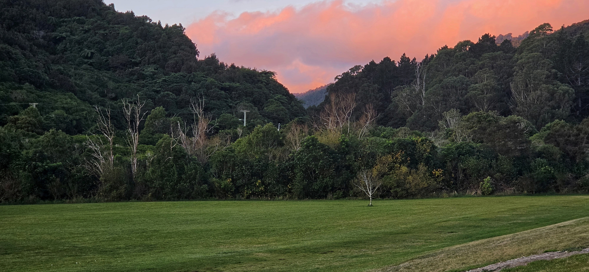
Hine Road Recreation Area was once known as “The Meadow”, but to us kids growing up on Sunny Grove in the 1960s and 70s, it was “The Paddock”. Furthermore, what is now known as Sinclair Cemetery was not known to to be a cemetery at the time. We simply called it “The Bush” because it was densely vegetated but also had some large trees that were perfect for climbing. Both the cemetery and the reserve were our playground.
We climbed the giant macrocarpa trees and built forts among their huge branches. After the paddock was mown, we gathered the cut grass and shaped it into walls and built imaginary homes. We ate blackberries from the large tangles of vines that covered parts of the paddock near Secret Pool, and swam in both Secret Pool and Top Pool. At one time, we even shared the paddock with horses. On one occasion, one of the kids was kicked in the stomach after sneaking up behind one. A woman used to come and tend to the horses, and we knew her simply as the Horse Lady. She would park her car where the car park is today, although back then it was just an unsealed, stony area.
Anyway, enough reminiscing. With no more than two hours of daylight left, I decided to circumnavigate the reserve, starting at Sinclair Cemetery, which sits directly behind my childhood home. I entered the bush line between the cemetery and Sunny Grove Track because I believe this wooded area may once have formed part of the cemetery. There is a basic line of holly trees there, and several of them have old fence wire embedded in their trunks.
Next, I entered the bush line near the cemetery above the grassy reserve. We often played in this area as kids because it was easy to walk through. I noticed another line of holly trees there too, although I had seen these before. It seems people may have used holly trees as borders or to mark a perimeter back in the day. However, according to old aerial photos, this second line of holly trees was not planted at the same time as the ones surrounding the cemetery. They came later.
While walking through this wooded area, I noticed a low hump in the ground covered with rocks. I think it may be the grave of a horse that died and was buried somewhere near this spot. Back then, this perimeter area was still part of the grassy paddock, close to the edge of the bush. Today, the forest has encroached on it.
The grazing horses here may explain why we called the area “The Paddock”. Just below the cemetery, on my dad’s property, I have found a few old horseshoes, suggesting that horses were once a familiar part of this landscape.
I then reached the new extension to the Gums Loop Walk and headed down to the bridge near Top Pool. Once on the other side of the river, I decided to walk along the narrow raised area between the Wainuiomata River and a smaller side stream that once flowed through this part of the reserve.
We used to walk through this plateau between the streams as kids because, once you were under the canopy, the area was quite open and easy to explore.
Today, this area is called Fairy Lane, and I have to say, it was already quite a magical place as a kid in the 1960s and 70s. Now it has been given an extra layer of character with fairy garden decorations, including colourful rocks, ornamental butterflies, and little structures about the size of letterboxes.
I walked through this wonderland for a while until I spotted the old course of the smaller stream. I then followed the depression left in the ground by this second stream. From memory, the stream rejoined the main river just above Secret Pool, where the river bends.
I then returned via Fairy Lane and headed back to my car. When I crossed the bridge back into the recreation area, I looked across at the trees on the Hine Road side of the river. I remember a storm in the 1980s, when the flooded Wainuiomata River stripped the trees from this bank. After that, the grassy area of The Paddock seemed to stop abruptly at the river’s edge.
When I got home, I tried to work out which storm it may have been. My best guess is the 1981 flood, when prolonged heavy rainfall from 18 May into mid June raised river levels and caused serious flooding in parts of Wainuiomata, including Richard Prouse Park.
On reflection, this adventure was certainly not a full on bush bash by any stretch of the imagination, but it was a chance to resurrect childhood memories and recall a time before this area became a reserve.


