Chasing Waterfalls Leads to the Discovery of an Old Track and More
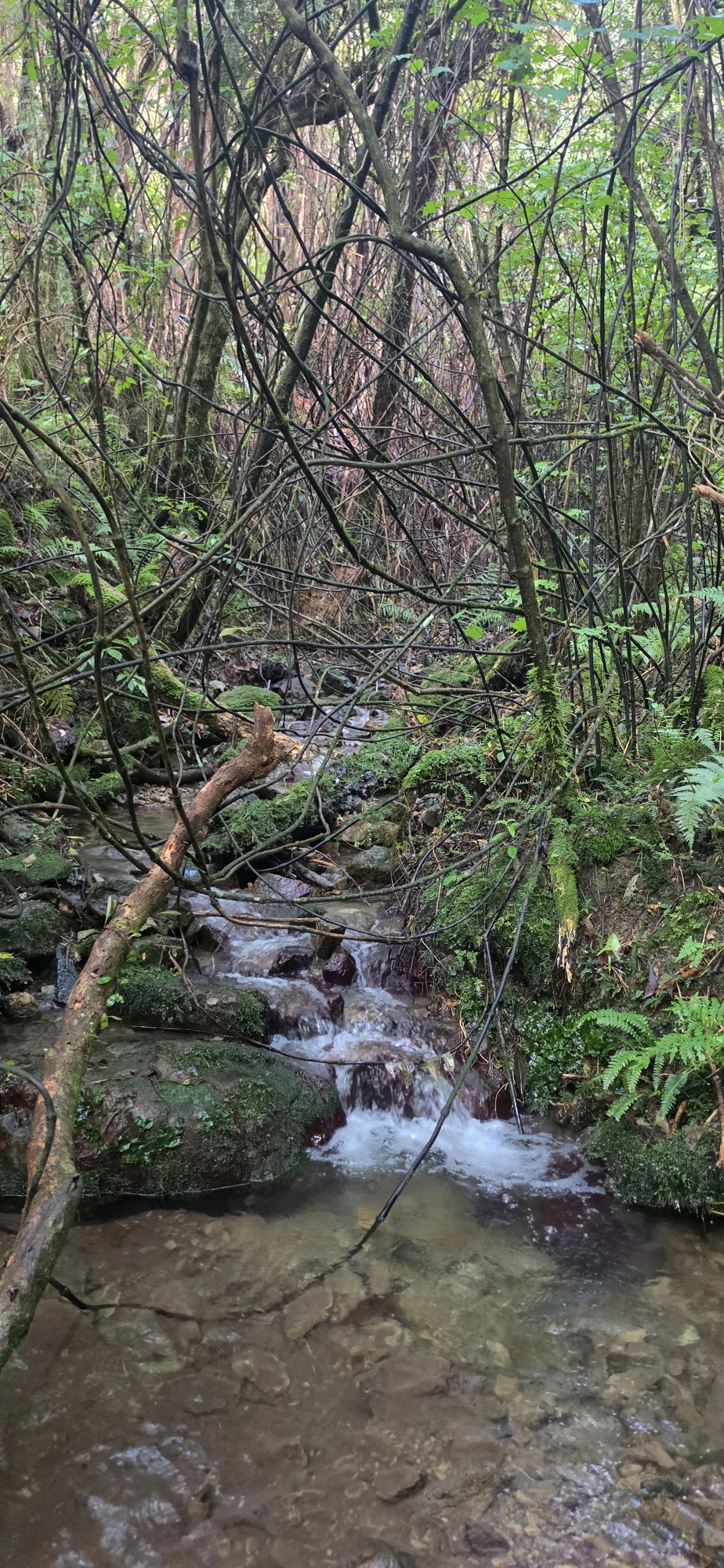
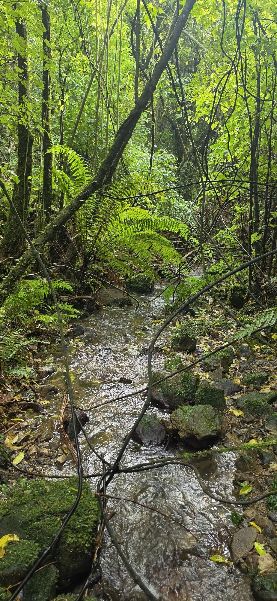
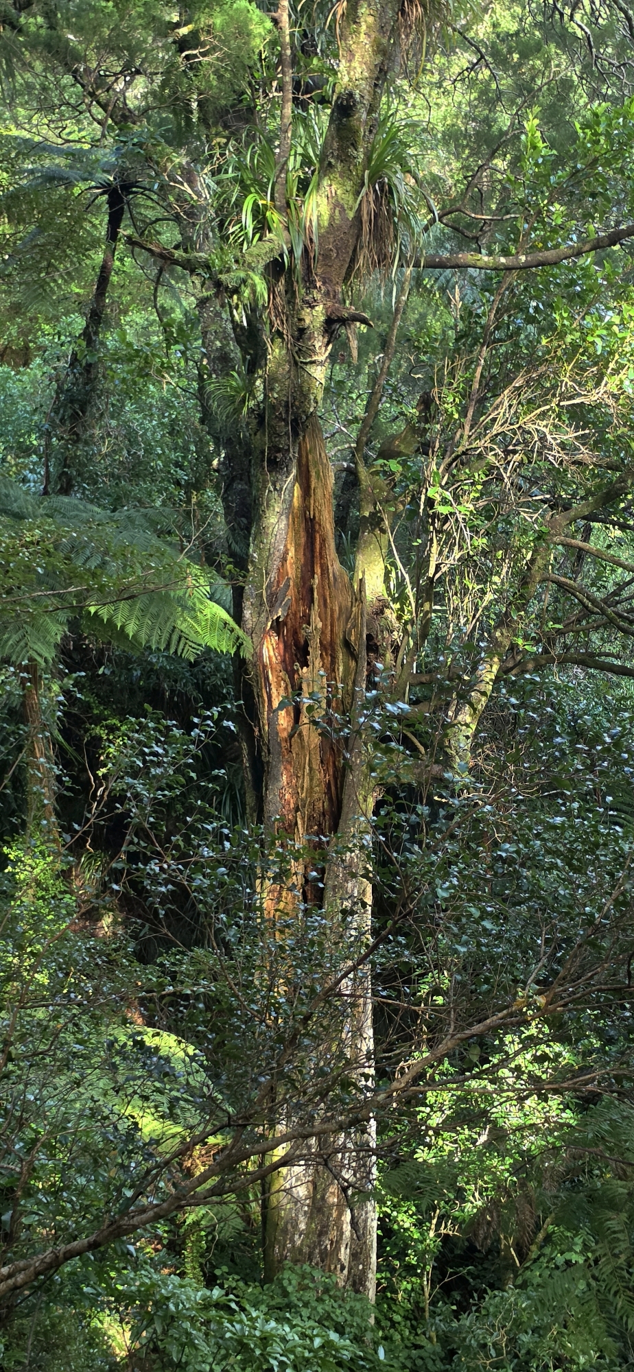
Today, I thought about chasing waterfalls again and decided that following Sledge Track Creek further than I had ever been might reveal one. However, while continuing along the Gums Loop Walk, I got sidetracked and came across a fast-flowing creek just before the Tana Umaga Track. I wondered whether this was the same creek I had followed during Bush Bash 2, so I headed in for a closer look.
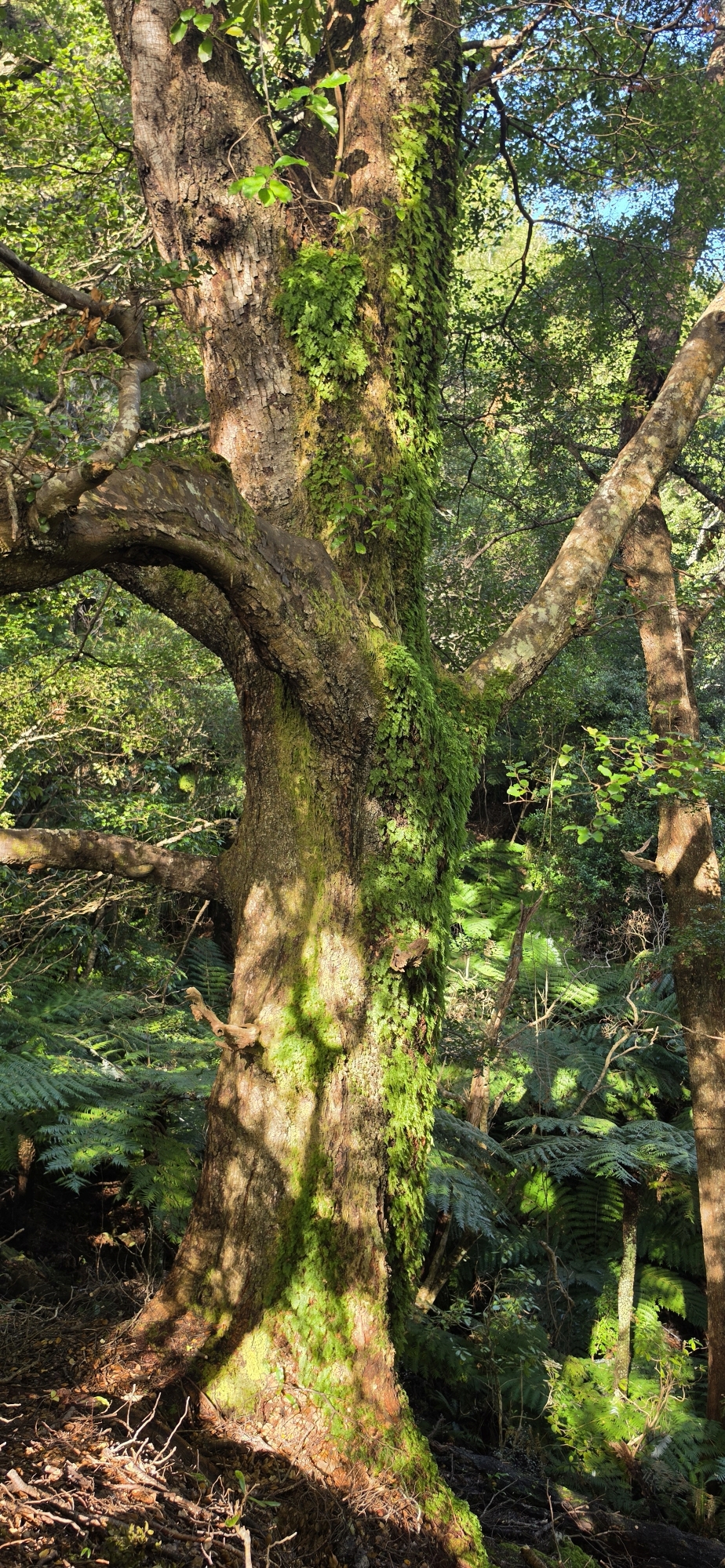
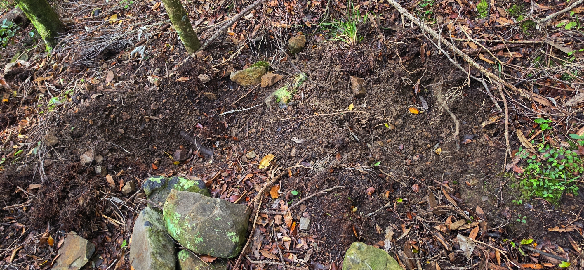
The creek quickly became difficult to follow, with a complex maze of supplejack blocking the way. Rather than battling through it, I decided to climb the eastern flank to make my way further upstream later as I still wasn’t sure if this was the creek I had visited a few years ago. It was hard yakka, involving plenty of climbing and clinging to handholds to avoid slipping down the wet, steep bank.
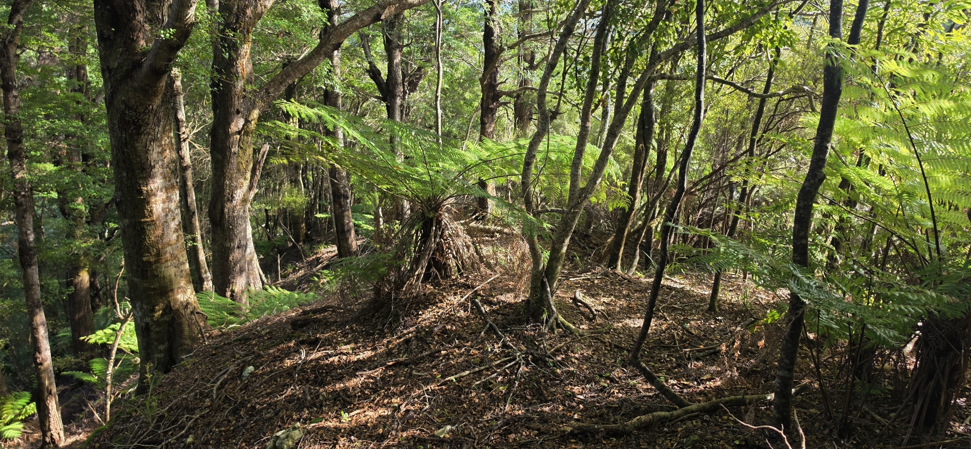
Eventually, I climbed out of the worst of the slope and reached slightly easier ground. Here I came across a well-defined spur that looked relatively easy to follow uphill. Almost immediately, the landscape became familiar. I had indeed been here before, in fact twice. The first time was during Bush Bash 2 as mentioned where I had a bout of claustrophobia in the gully and scrambled up the same flank, although much further upstream before reaching the spur. The second time, I had come down the spur after exploring some old geological survey tracks further east.
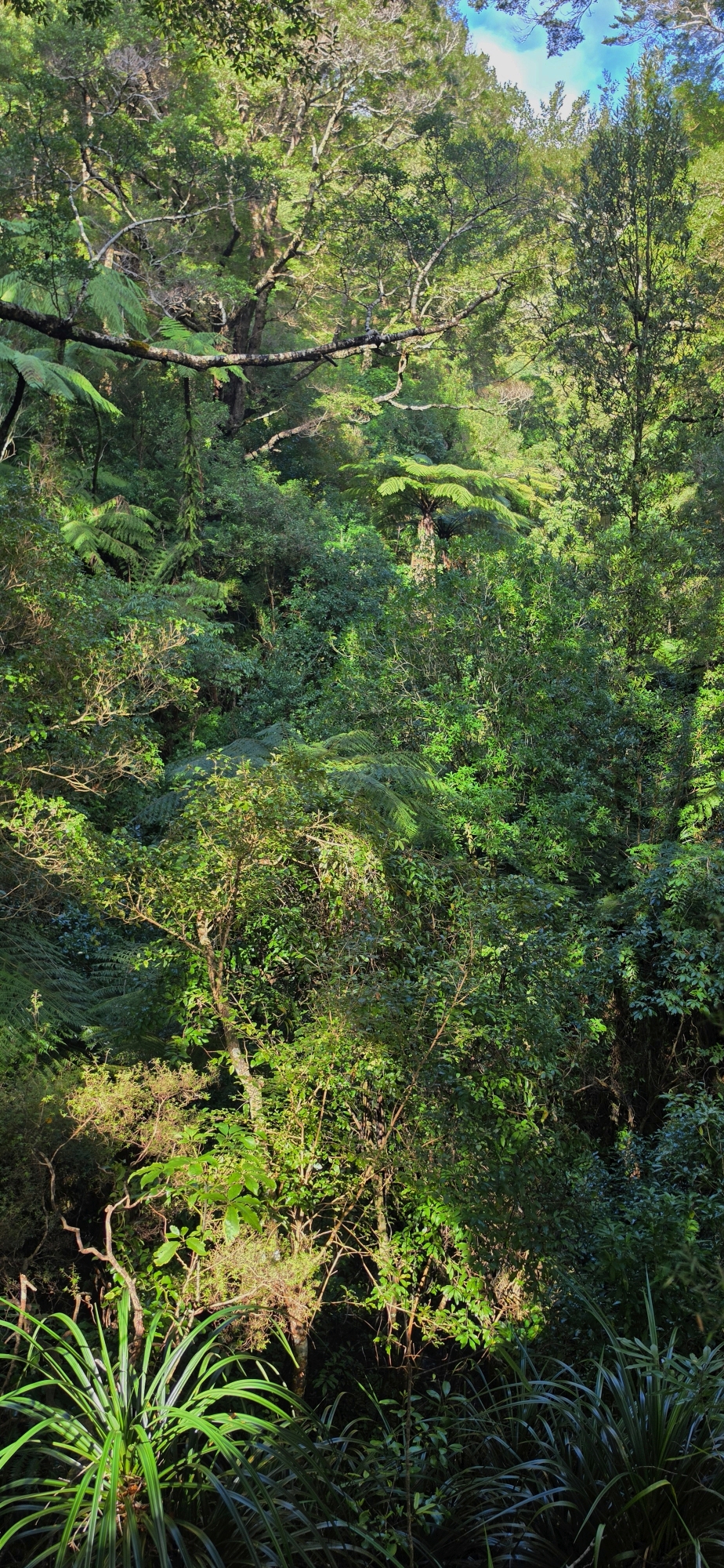
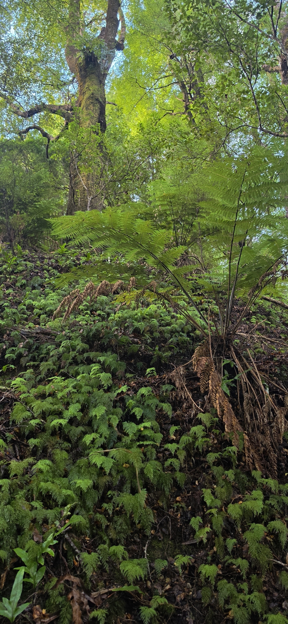
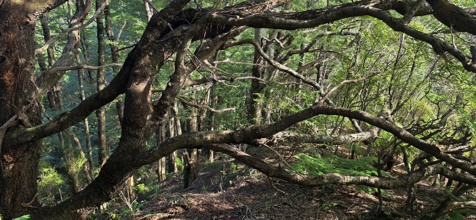
This time, I decided to abandon following that unnamed creek and instead follow the spur upwards to see how far it went. I climbed higher than I had on either of my previous visits. The spur continued for some distance before eventually merging into a much steeper slope, where its distinctive shape disappeared. From there, I simply bush-bashed upwards, choosing whichever route through the vegetation looked easiest.
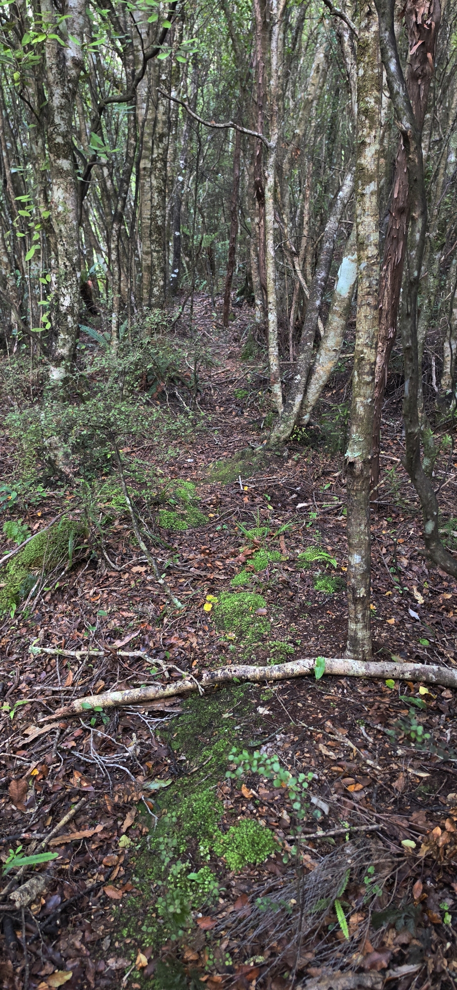
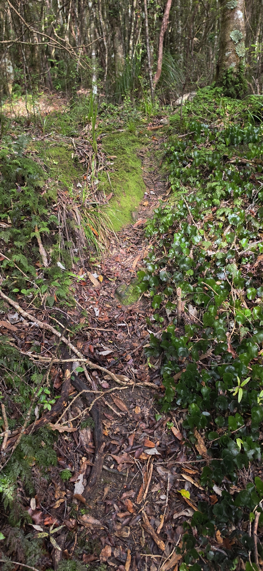
Somehow, I reached the end of one of the old geological survey tracks that I had walked alongside before. That particular old track traverses the hillside rather than climbing it, but this time I noticed something I had missed previously: a faint track continuing uphill.
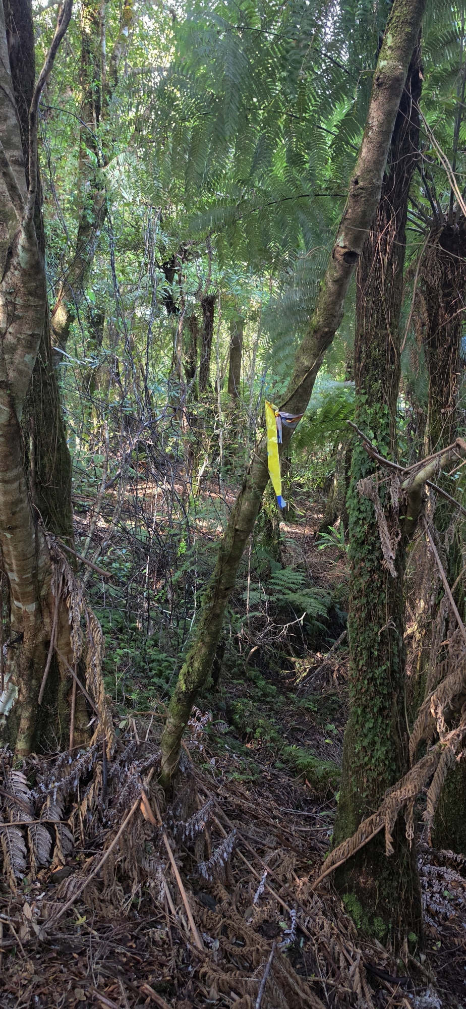
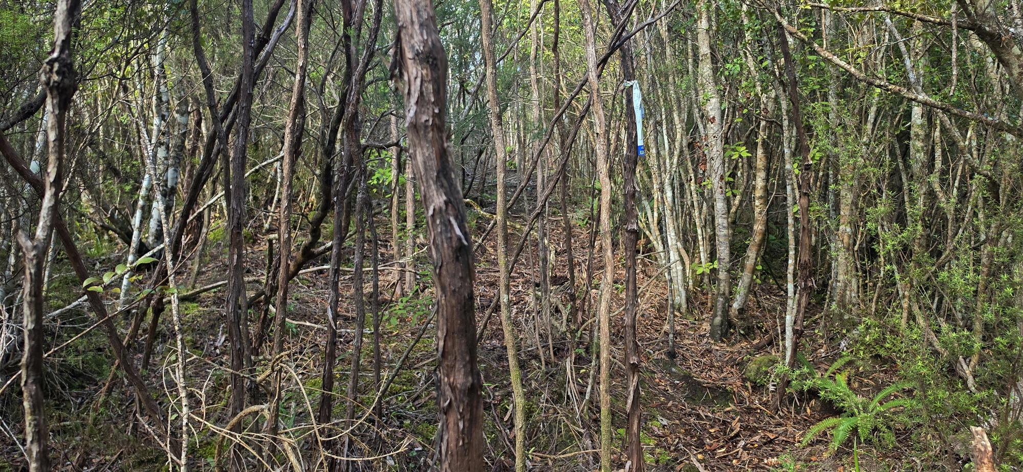 I followed it and, before long, found an old marker consisting of a strip of plastic bag tied around a branch. It looked as though it could have been there for decades and may have marked an old bait line established after the geological survey tracks began disappearing beneath regenerating bush.
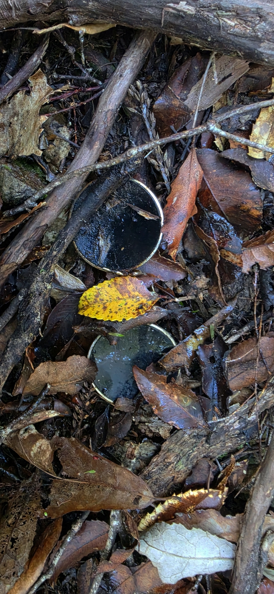 Further uphill, I found numerous other strips tied to trees. Their presence gave me some confidence that the route was actually leading somewhere rather than simply fading into the bush. A little further on, I came across an old pair of spectacles, the type without arms that hook over the ears. They looked as though they could have been lying there for decades, perhaps lost by someone maintaining the old bait line.
Not far beyond this point, the markers disappeared and I was back to finding my own way through the bush. Eventually, however, I picked up another defined spur. Once on top of it, I began finding more markers, although these were a different colour.
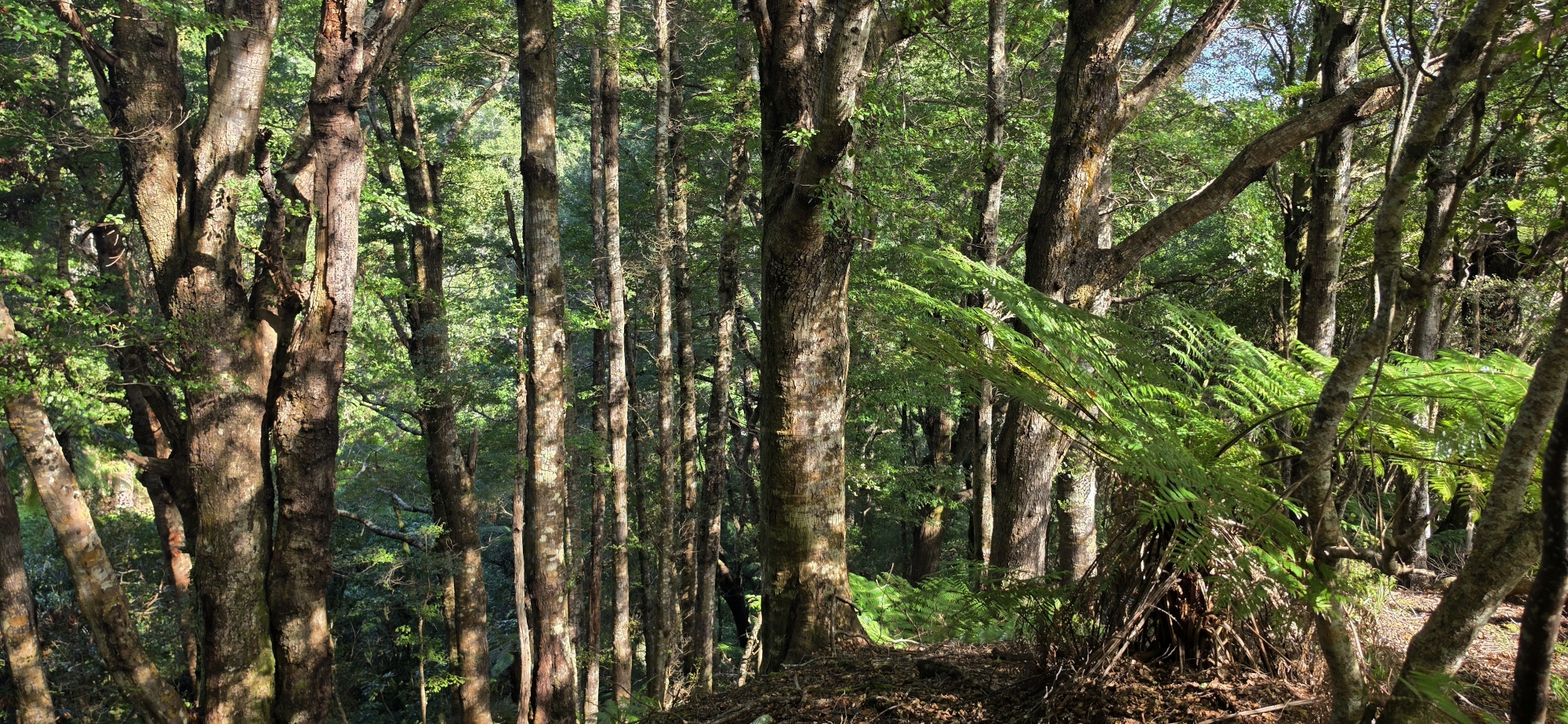
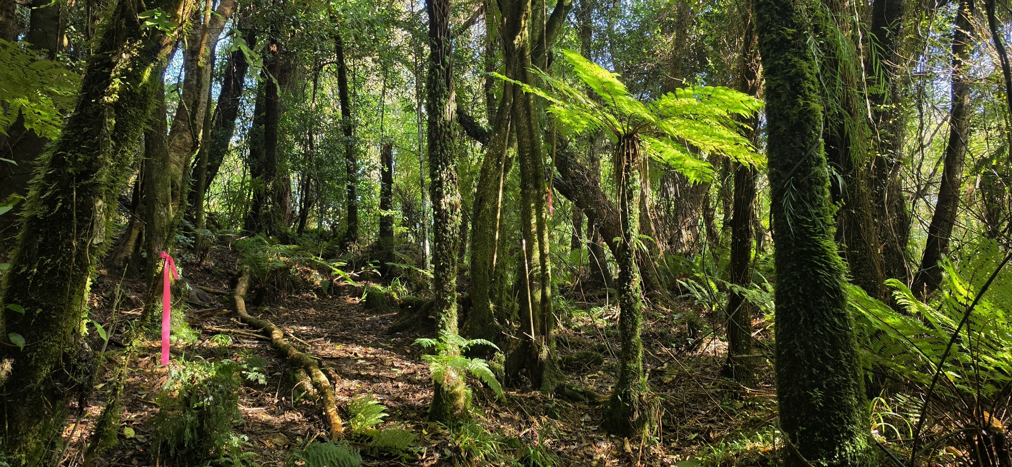
The route became more obvious here, and even where markers were absent I could generally follow the old track. On the few occasions where it became unclear, the spine of the spur helped guide me back onto the route.
It kept going and going. By now I estimated that I had only three or four hours of daylight remaining and began seriously considering turning back while I still knew I could get out safely. But I hate backtracking, and I kept thinking that a track this well defined had to lead somewhere. So I pressed on.
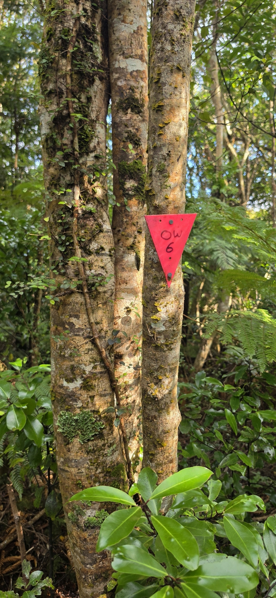 At last, I emerged onto the Old Whakanui Track, confirmed by a trap and a pink triangle marked OW6. From here, it should have been an easy walk down into Nikau Creek Gully, some distance west of where I had started this trek perhaps two creeks along.
It was not quite that straightforward though. On the descent, I lost the track three times, but each time managed to correct my course and pick it up again. Eventually, I dropped low enough on the hillside to hear Nikau Creek, then catch glimpses of it through the bush, before finally crossing the creek and joining the Nikau Creek Track.
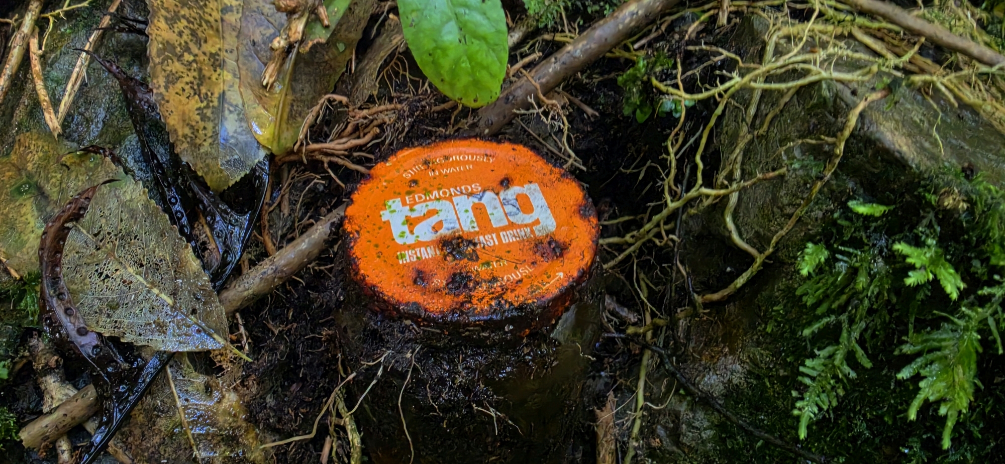 Along the way, I found an old glass Tang container with its orange metal lid still attached. While not a relic, it would be useful to date when this track was frequented. After some research, it appears to date from around the early 1970s. The lid carries the EDMONDS name above the large white lower-case tang logo, with “INSTANT BREAKFAST DRINK” underneath. Edmonds Tang was sold in New Zealand in glass jars during this period, making the find another small clue to past activity in this part of the bush.
It turned out to be a very good trek, with plenty of climbing and route-finding. By the end, my legs were tired and, after all the scrambling and pulling myself up steep banks, my arms were pretty sore as well.
NOTE:
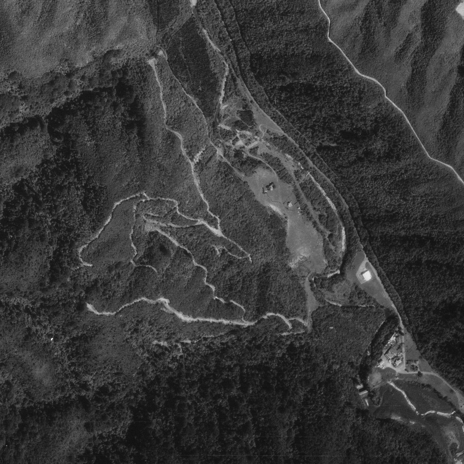
Here is the area I walked through. You can see several old geological survey tracks, which form a separate group from those near Nikau Creek Gully, where the Old Whakanui Track passes through.
The track I most likely traversed is the uppermost one in this group (closest to the top of the photo). Above that you can see the gully floor, meaning this is the hill I climbed after leaving the creek.
Interestingly, the track I probably followed appears to end partway up the hill. This suggests that I may have connected with the Old Whakanui Track via a different track altogether. That would fit with what I encountered on the ground, as I found two different types of markers, with a section of unmarked bush-bashing between them.
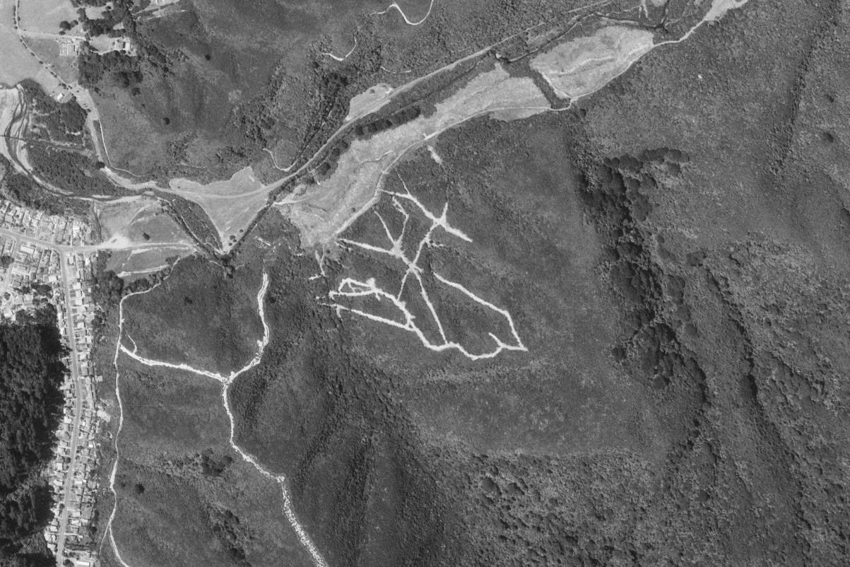 The walk was similar to Bush Bash 80, where I also appeared to follow sections of two separate old tracks before eventually reaching the Old Whakanui Track. Today’s route brought me out at marker 06, while Bush Bash 80 had me follow a completely different spur through the group of geological survey tracks closer to Nikau Creek Gully, eventually joining the Old Whakanui Track at marker 09.
Judging from the two aerial photographs, these geological survey routes appear to have been cut at different times during the 1970s.