
Remutaka Forest Park is a designated protected region spanning an area of 220 square kilometres.
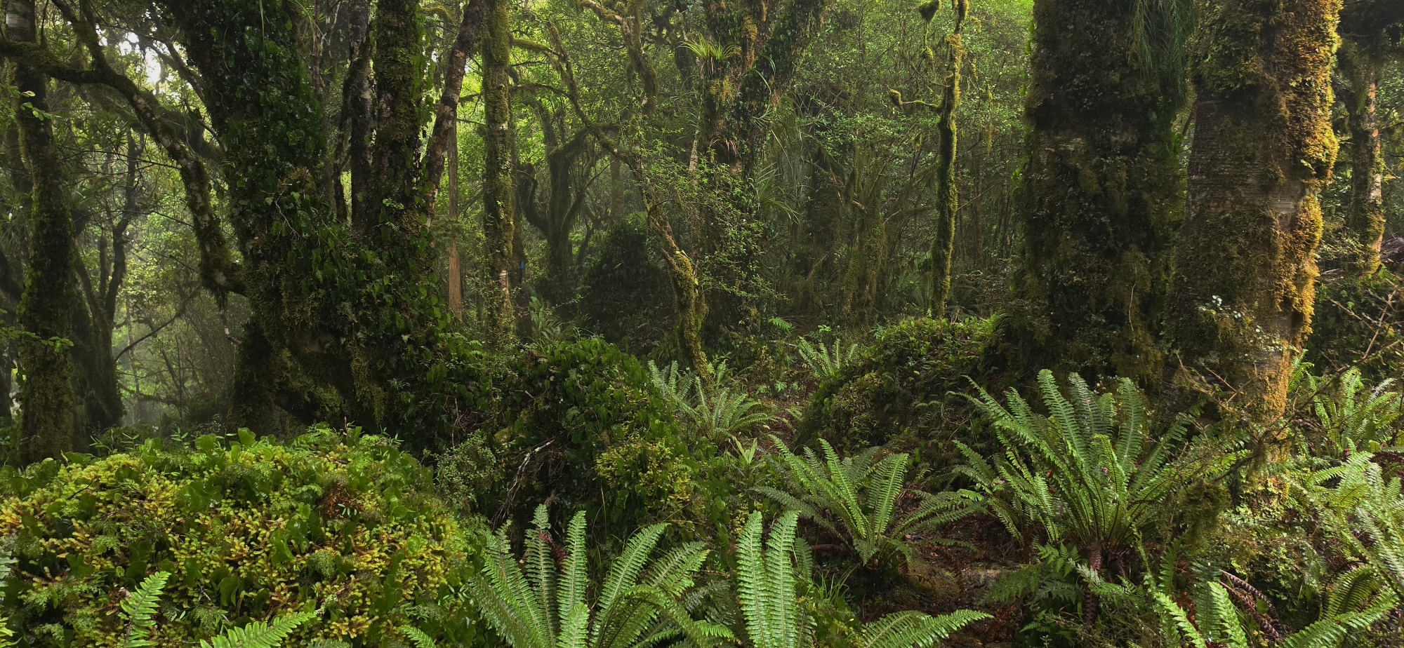
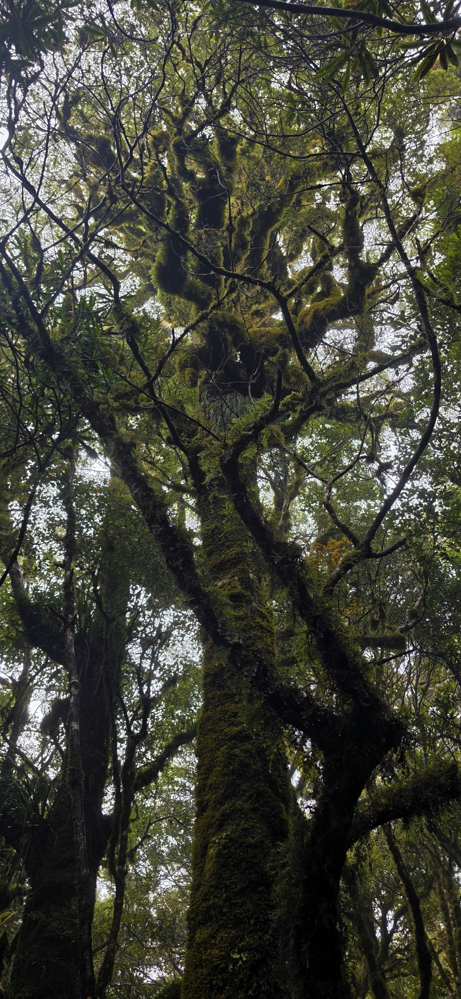
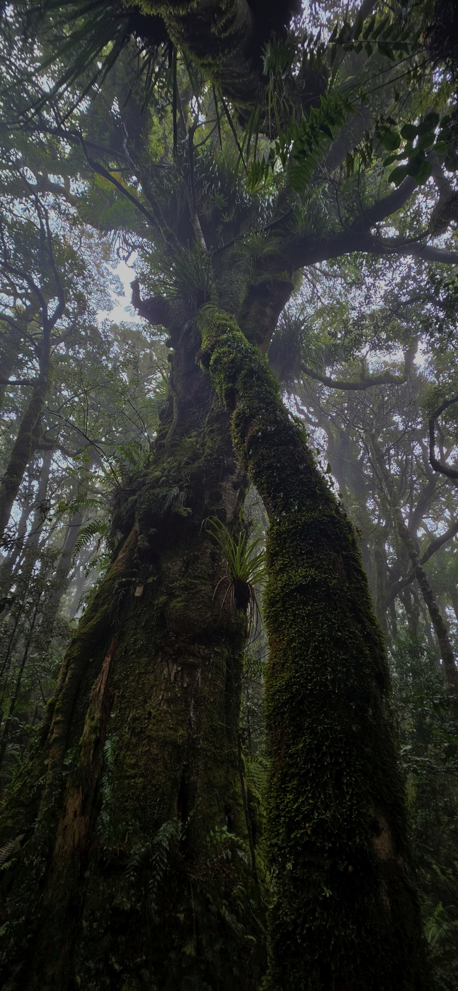
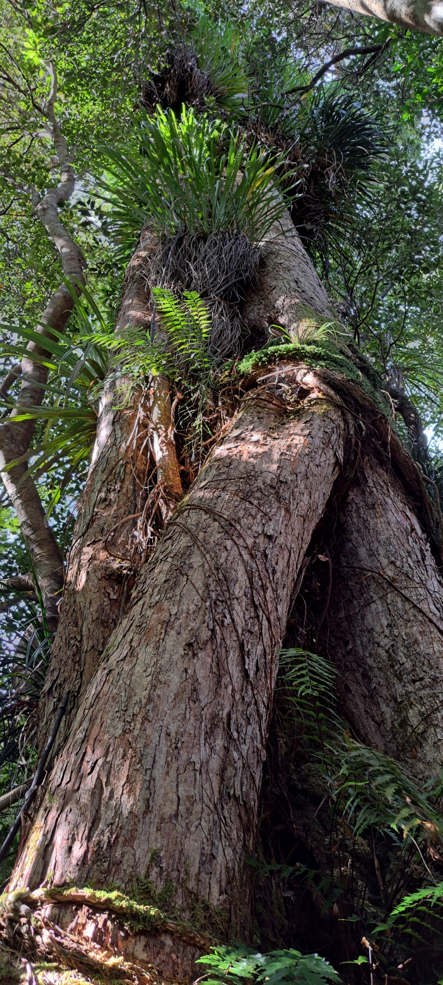
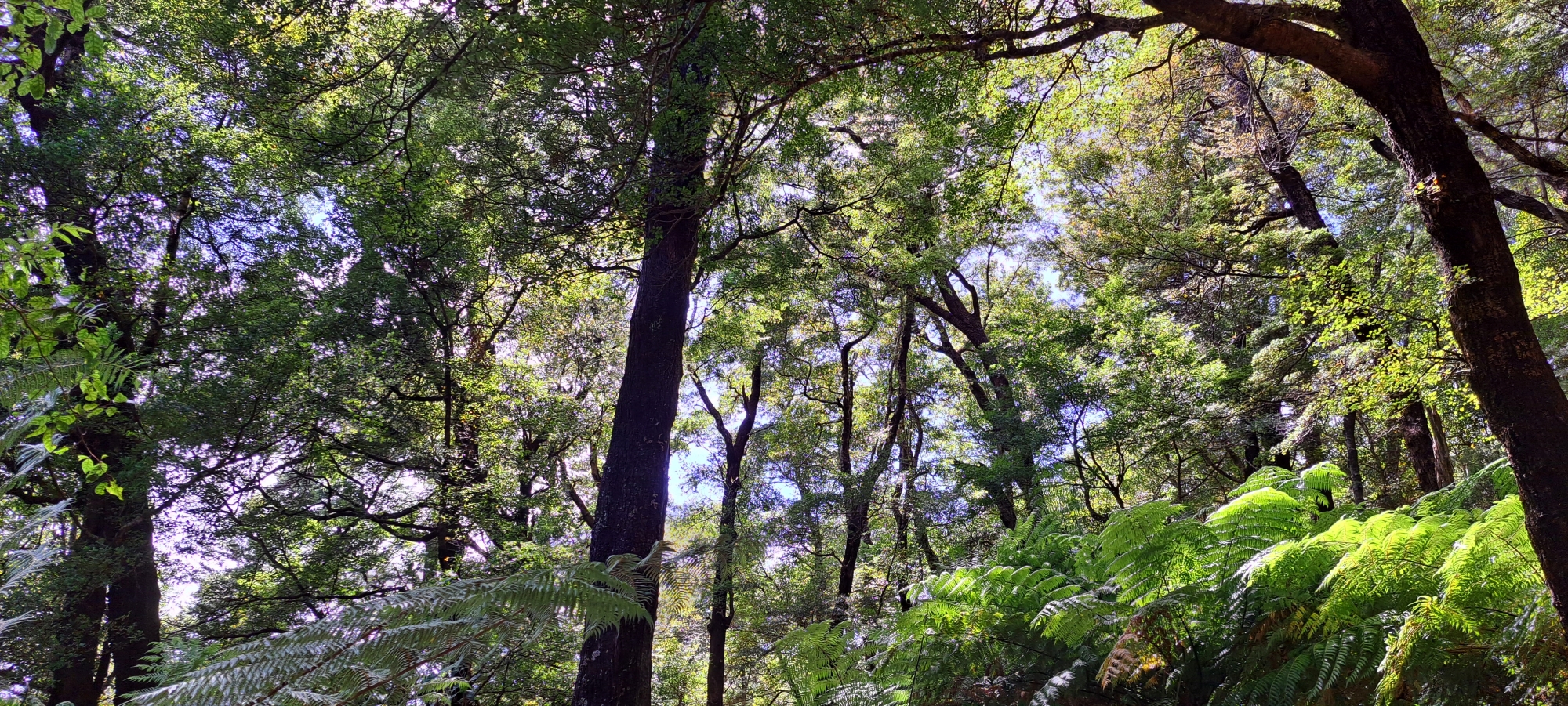
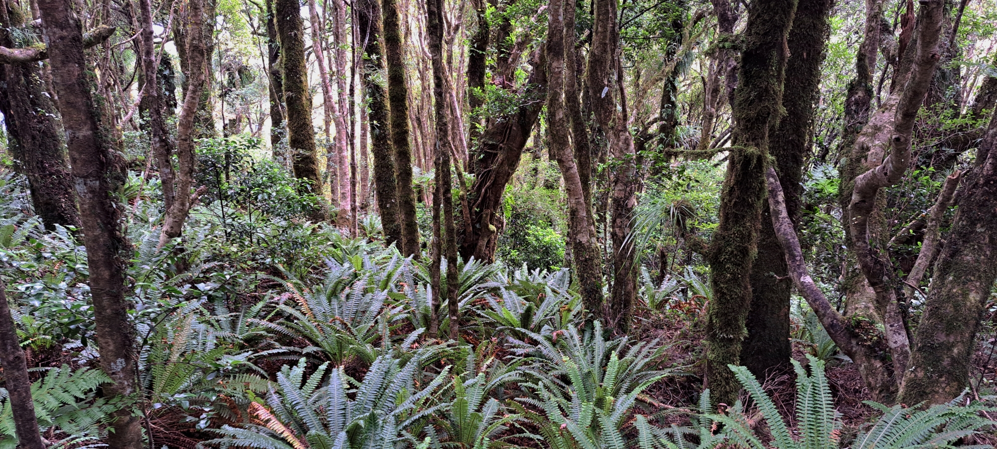
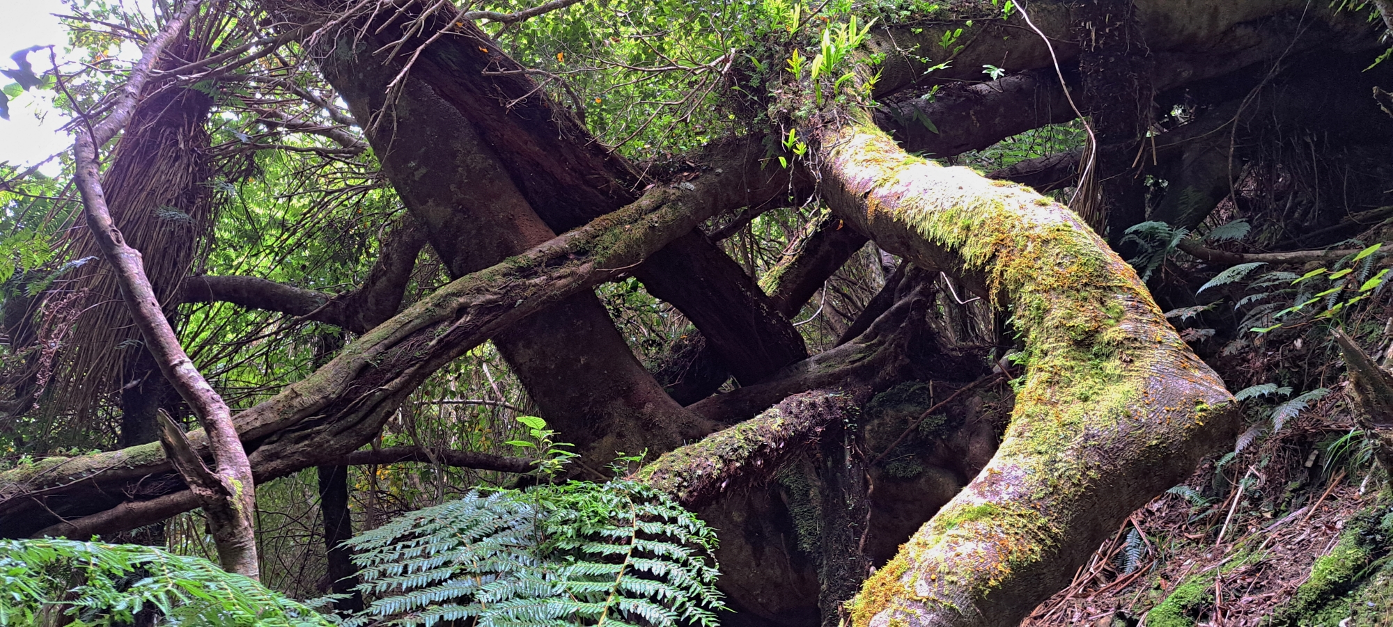
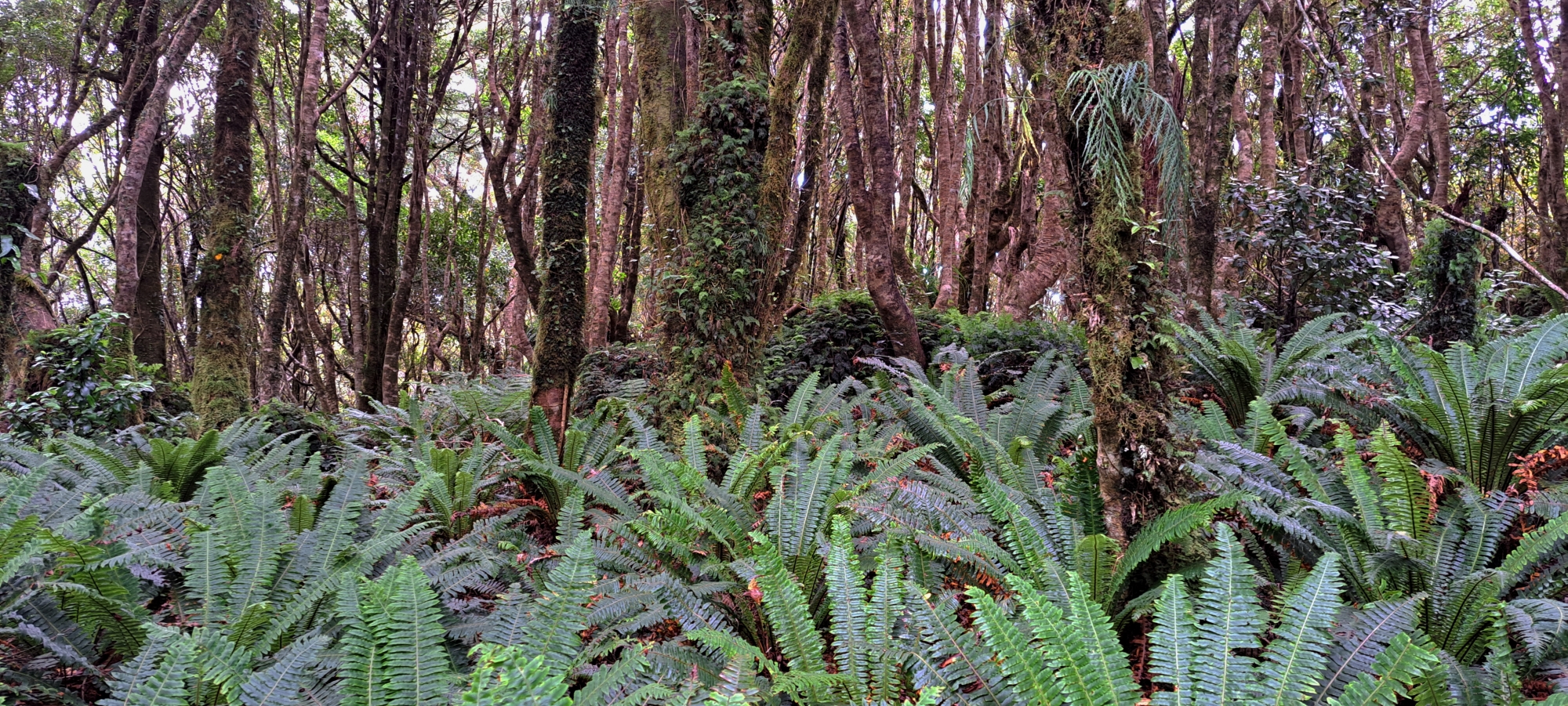
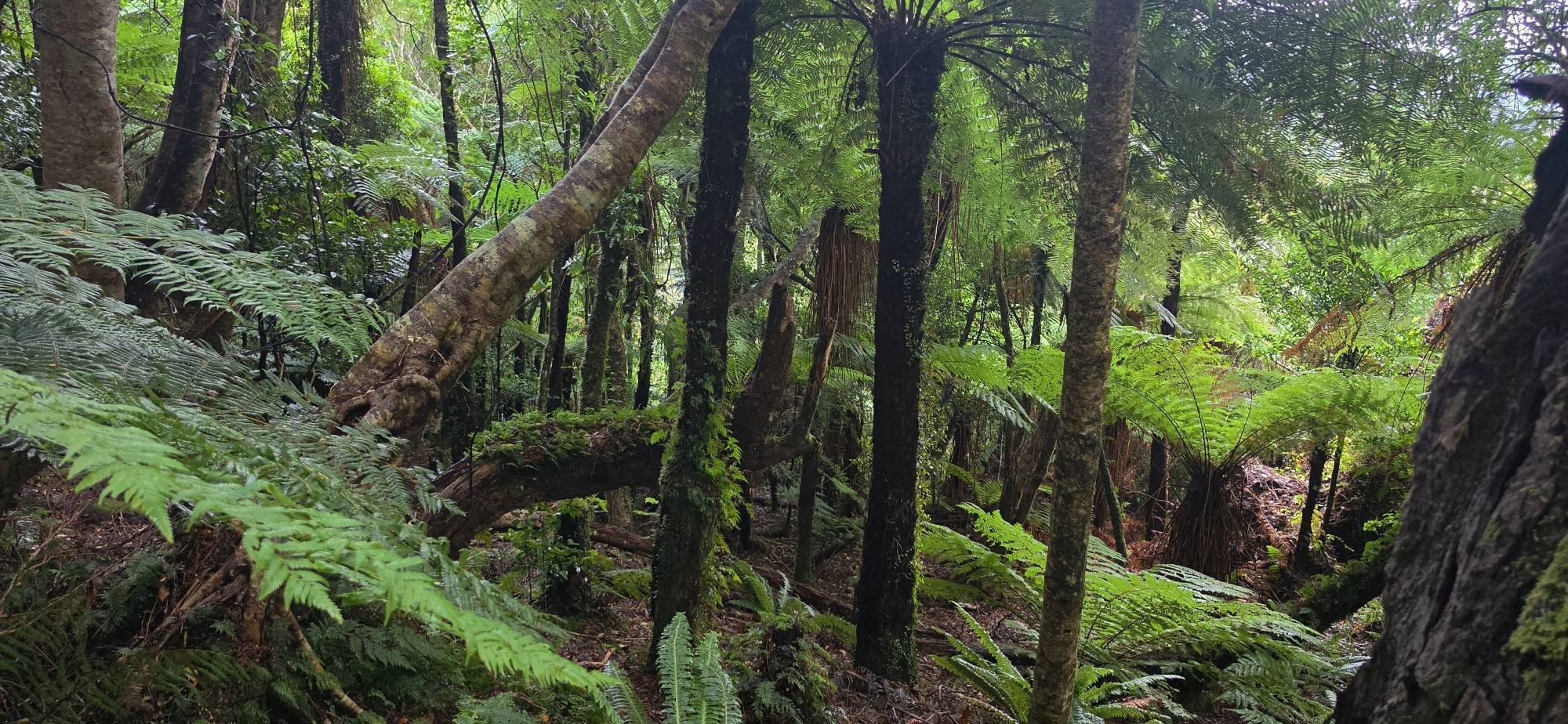
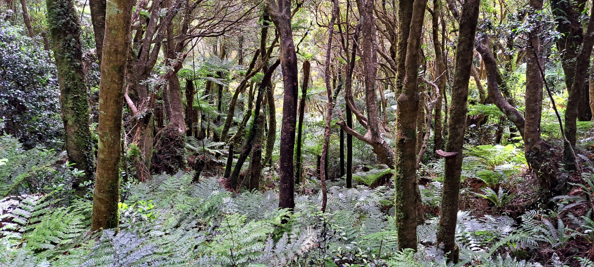
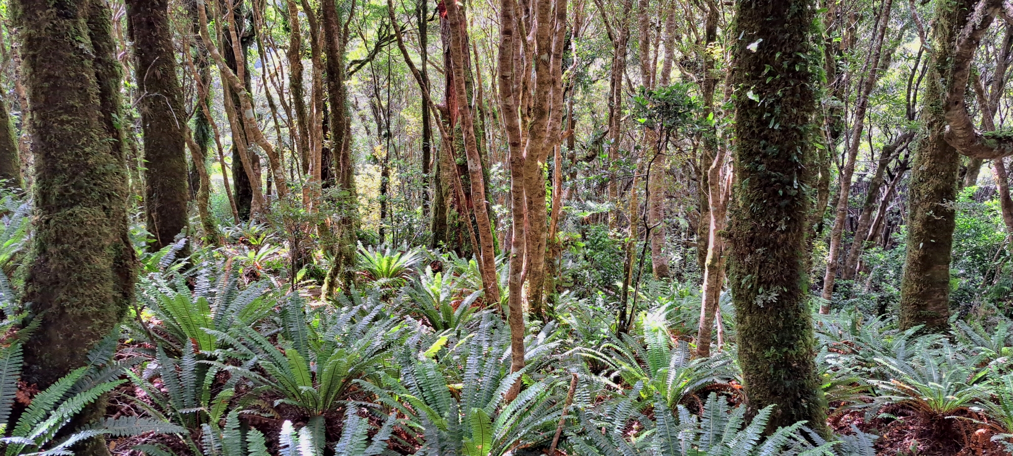
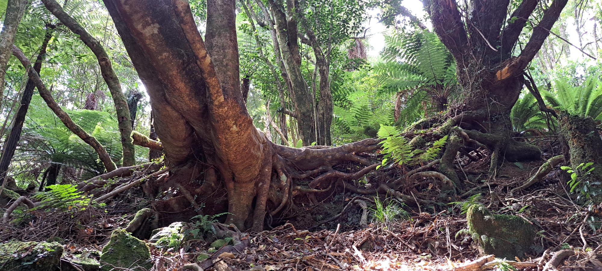
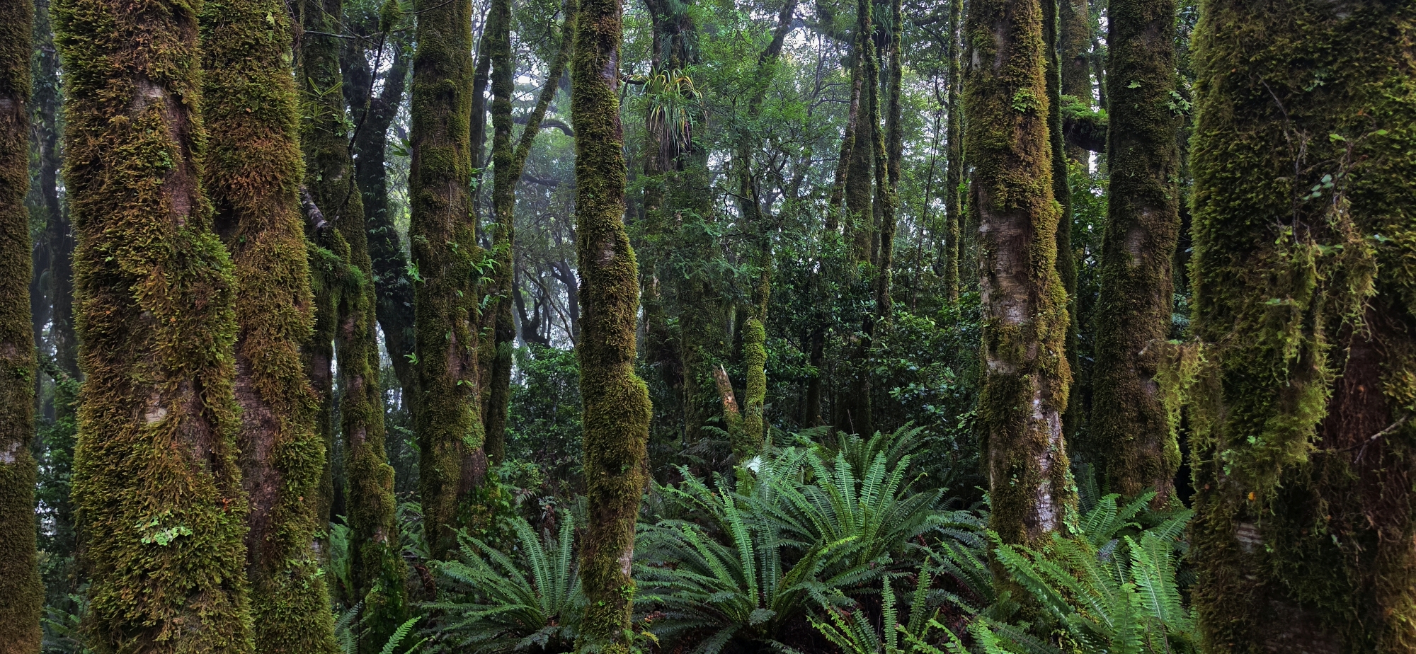
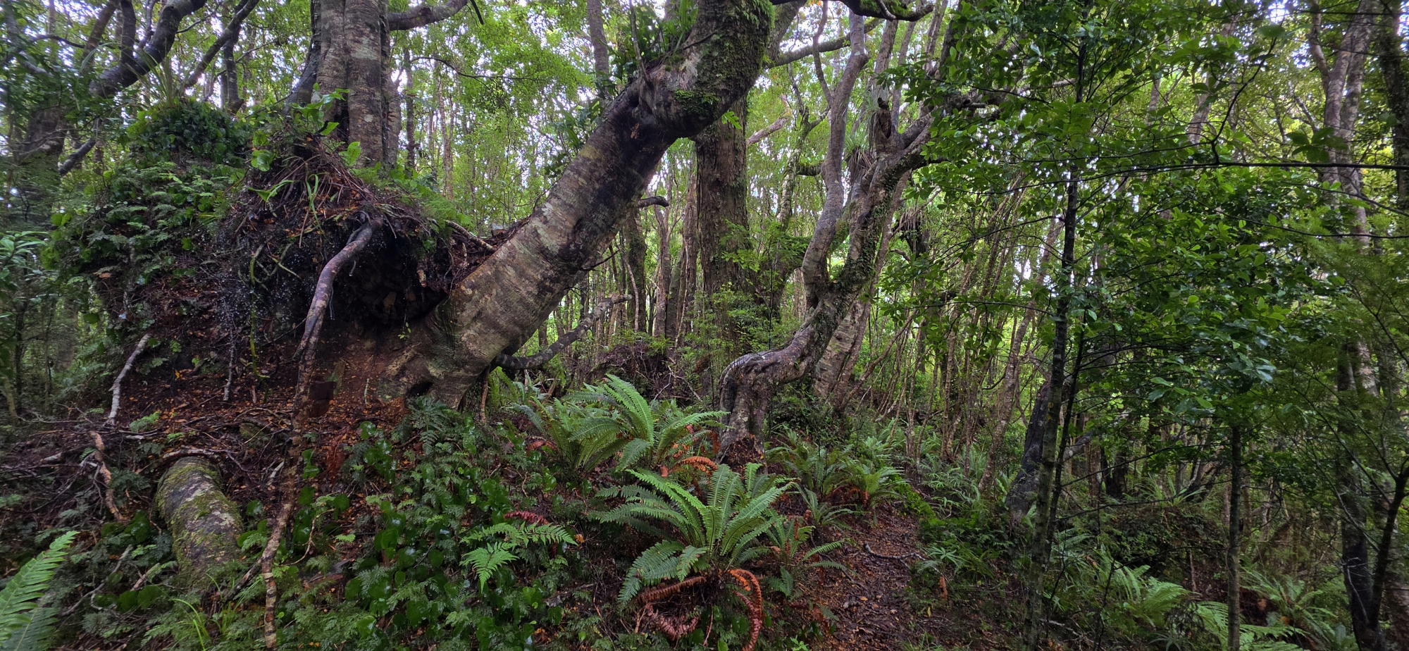
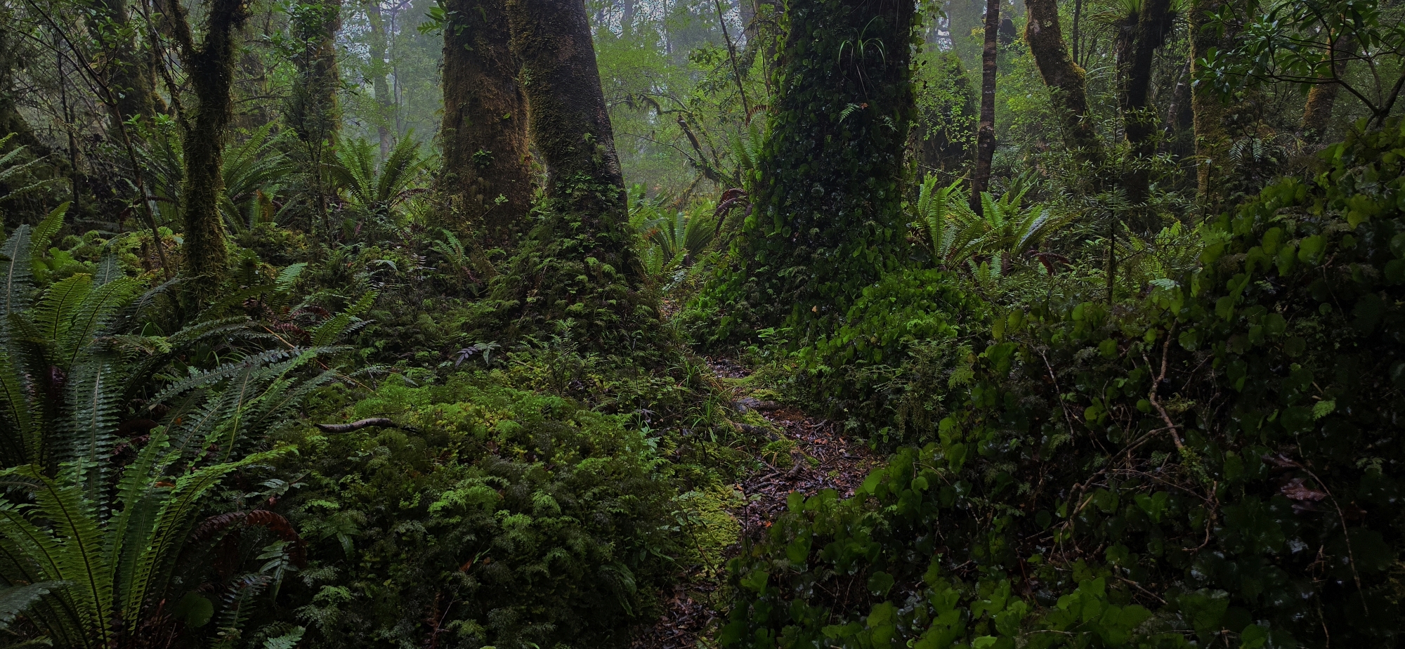
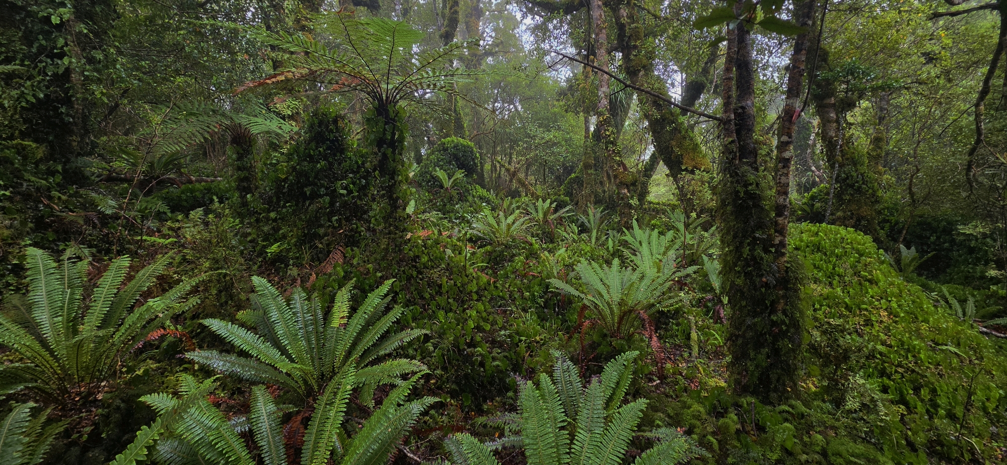
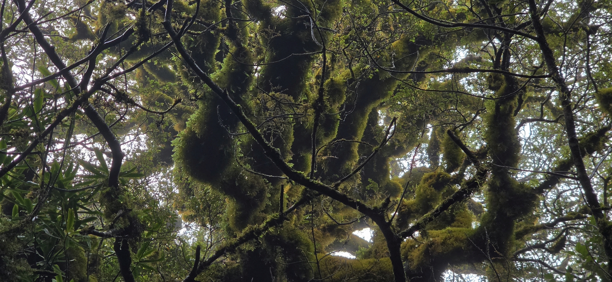
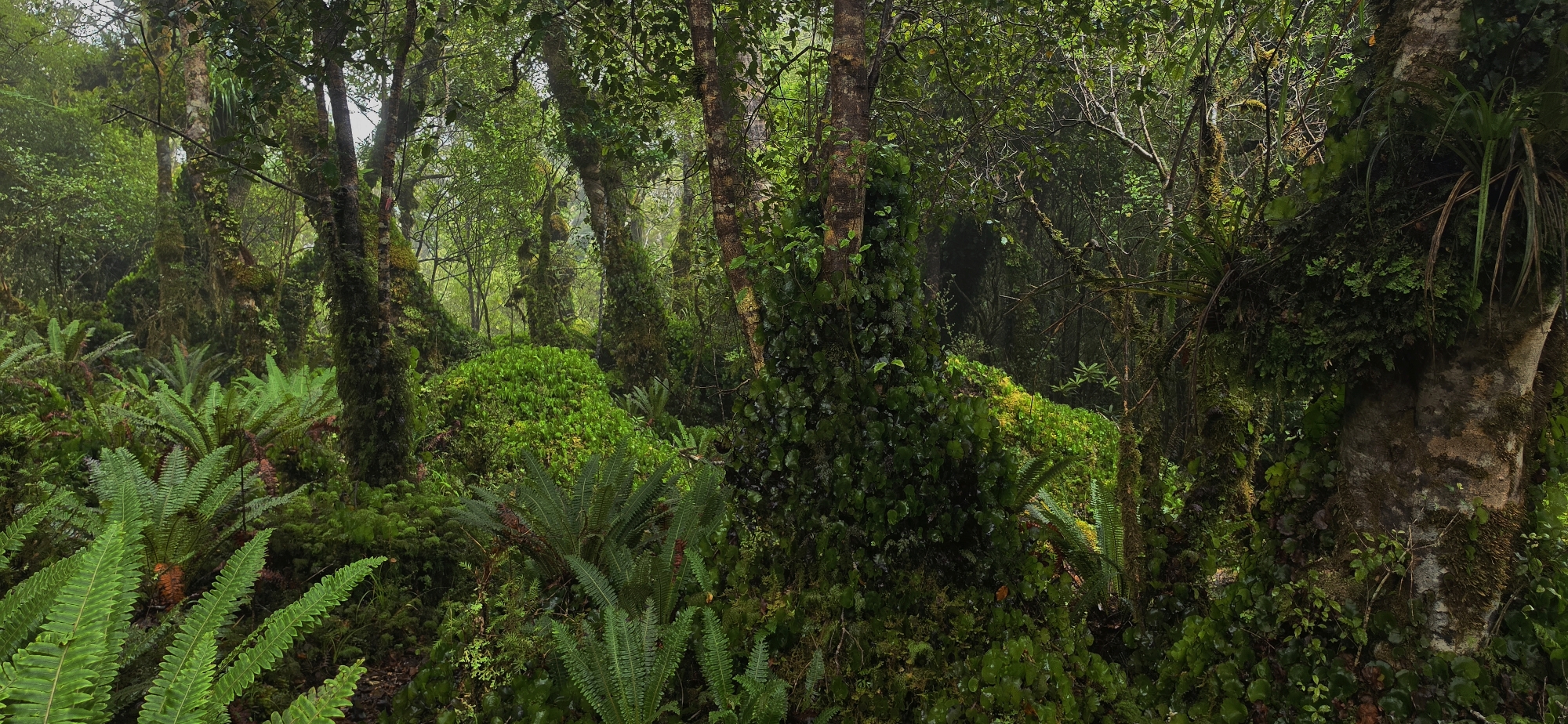
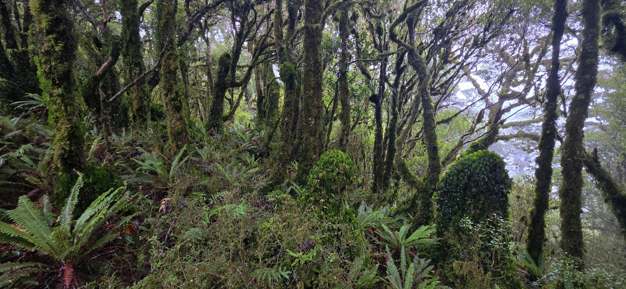
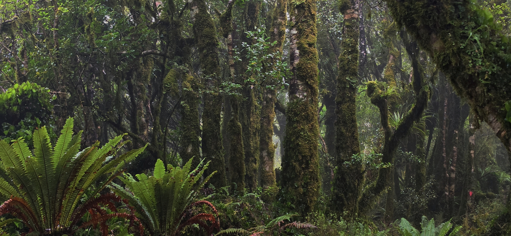
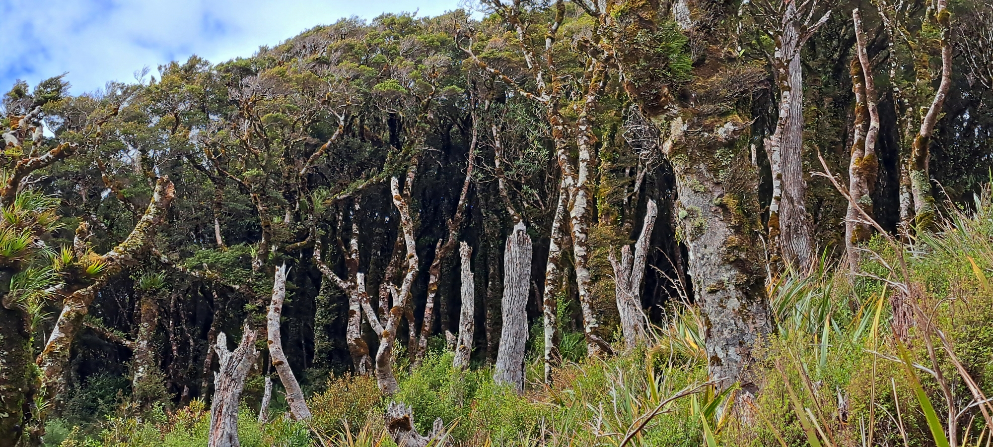
The Remutaka Forest Park is home to a large tract of podocarp rainforest that hosts a variety of native bird species, including bellbirds, tui, kaka, kereru, kiwi, and more. Additionally, introduced animals such as red deer, goats, pigs, and possums inhabit the park. Recreational hunting of these introduced species is encouraged in designated areas.
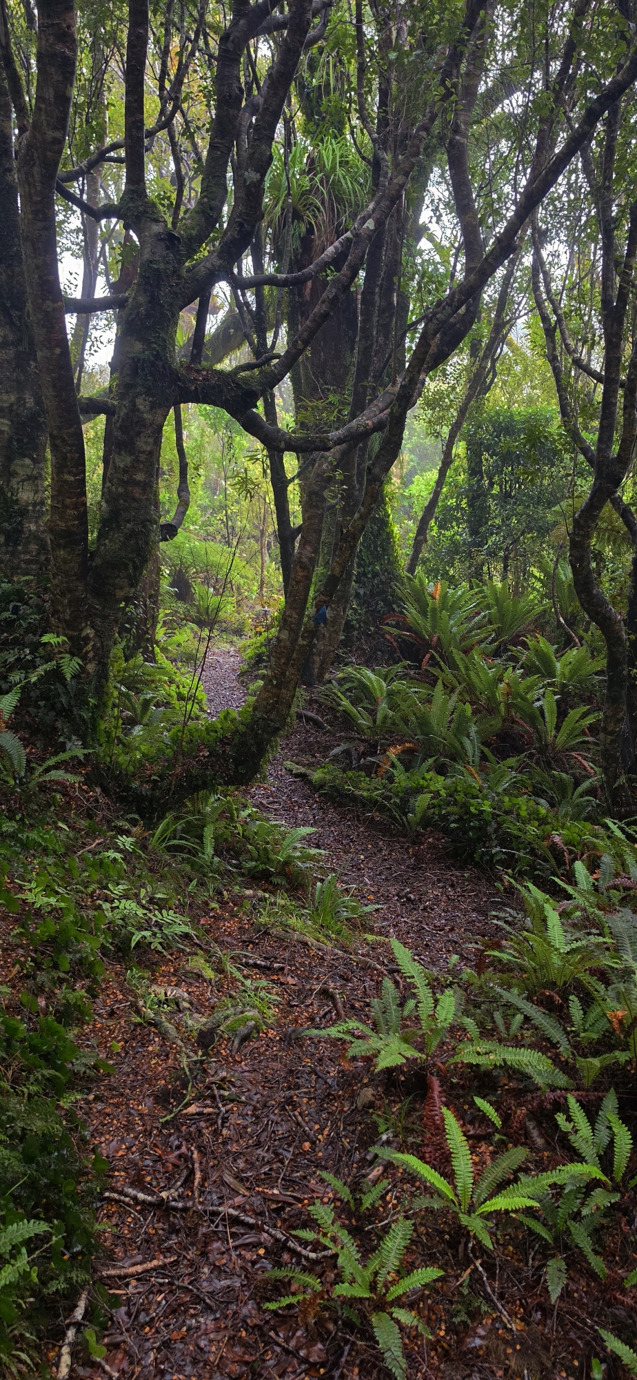
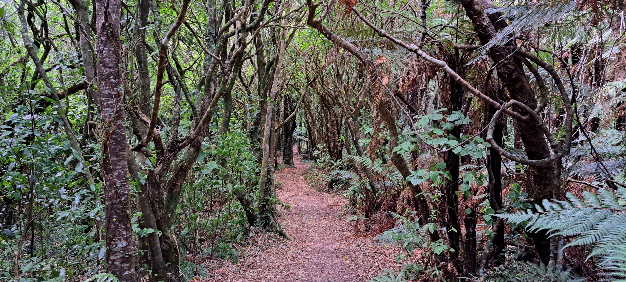
This natural haven is for everyone from families looking to do an easy walk to avid trampers. It offers scenic forest walks among diverse landscapes. Accessible through the popular Catchpool Valley in Wainuiomata, it stretches across to the adjacent Ōrongorongo Valley at the southern terminus of the Remutaka Range. Another popular entry point is the Wainuiomata Regional Park. Here, visitors can walk the Whakanui Track, which seamlessly interlinks with other tracks leading deep into the heart of the forest park. Additionally, a quieter access route is available along the southern coast via the Coast Road.
Access
Catchpool Valley is the most popular access route to the park. The valley offers diverse walking tracks suitable for individuals of all ages and fitness levels. For those seeking a longer stay in this wilderness area, a campground offers tent and motorhome sites. Exclusive huts in the remote Orongorongo Valley are also available for rental and can be reserved through the visitors’ center near the entrance.
The end of Sunny Grove also offers access to the Whakanui Track and McKerrow Track along with numerous unofficial or old abandoned tracks.
Walks
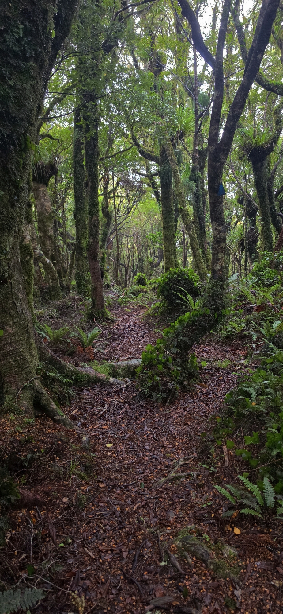
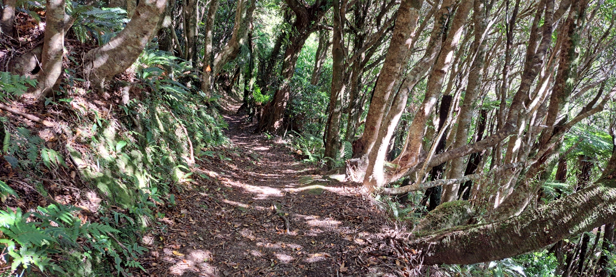
Remutaka Forest Park offers some of the best bush walking and tramping near Wainuiomata, with routes ranging from short family walks in Catchpool Valley to longer tramps through the Ōrongorongo Valley, McKerrow ridge system, and the wider Remutaka Range. The park is known for native forest, river valleys, swimming holes, historic tracks, remote huts, and access to both the Wellington and Wairarapa sides of the range.
Nga Taonga Nature Walk
Nga Taonga Nature Walk is a short and easy walk in Catchpool Valley. It introduces visitors to the native forest through information signs, making it a good option for families, first-time visitors, or anyone wanting a gentle start before exploring deeper into Remutaka Forest Park.
Catchpool Loop Walk
The Catchpool Loop Walk is a short forest walk beginning near the Catchpool car park. It passes through nīkau, podocarp and broadleaf forest before linking back with the Ōrongorongo Track, making it one of the easiest ways to experience the bush setting of the park.
Ōrongorongo Track
The Ōrongorongo Track is one of the most popular walks in Remutaka Forest Park. Starting from Catchpool Valley, it leads through changing forest types to the Ōrongorongo River, where visitors can enjoy river scenery, swimming holes, and access to longer tramping routes.
Five Mile Loop Track
The Five Mile Loop Track is an easy to intermediate walk through the lower reaches of Graces Stream. It passes through mature hard beech forest and follows part of the old Five Mile Track, once an important route between Wainuiomata and the Ōrongorongo Valley.
Middle Ridge Track
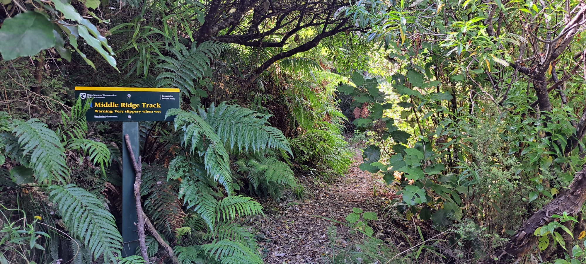
Middle Ridge Track follows the ridge between Graces Stream and Catchpool Stream. It links with the Clay Ridge and Five Mile Loop tracks, giving walkers a slightly higher route with views over Catchpool Valley and the surrounding forest.
Clay Ridge Track
Clay Ridge Track climbs from the Clay Forks area towards the McKerrow ridge system. It is a more demanding route, but rewards walkers with a stronger sense of the higher forest country between Catchpool Valley, Wainuiomata, and the Ōrongorongo Valley.
Butcher Track
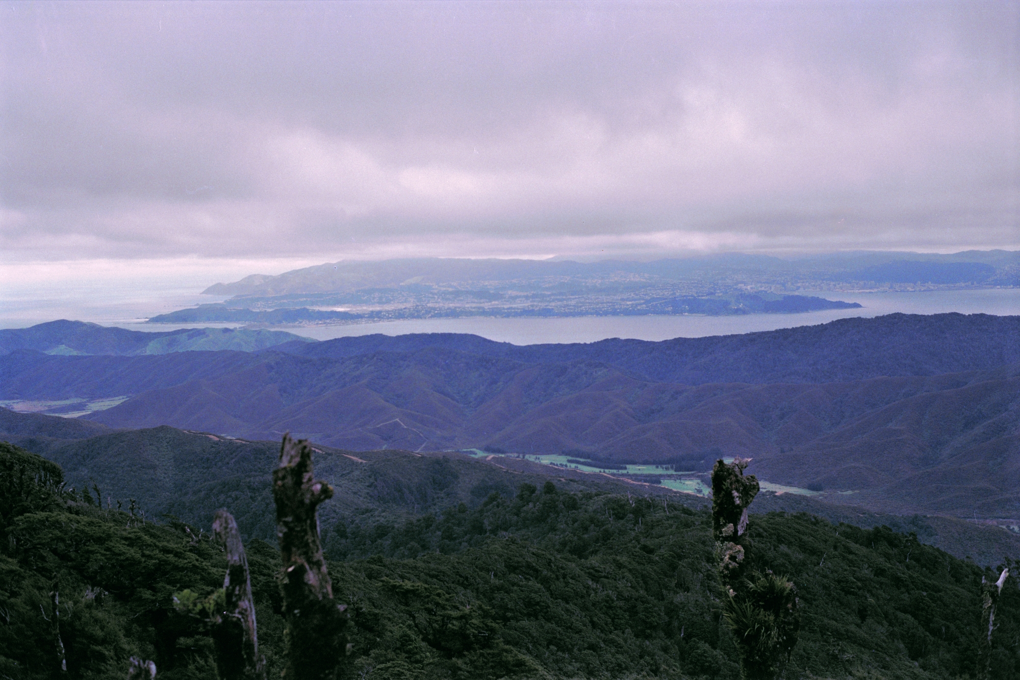
Butcher Track begins near the start of the Ōrongorongo Track and climbs steeply through forest and shrubland. It offers impressive views towards Wellington Harbour and can be walked as a return trip or combined with Cattle Ridge Track for a longer circuit.
Cattle Ridge Track
Cattle Ridge Track continues from the top of Butcher Track and heads north across higher ground before rejoining the Ōrongorongo Track near Tūrere Stream. It is a more advanced route with wide views over the Ōrongorongo Valley and the Remutaka Range.
McKerrow Track
McKerrow Track is a longer tramping route that climbs to the Mt McKerrow area from either the Catchpool side or the Wainuiomata side. Although the summit itself is largely forested, the route offers views at points along the way and forms an important link between Ōrongorongo, Whakanui, and Catchpool routes.
Whakanui Track
Whakanui Track begins at the end of Sunny Grove in Wainuiomata and leads through forested hill country towards the Ōrongorongo River. It is one of the key Wainuiomata entrances into Remutaka Forest Park and can be used as part of longer through-routes with Big Bend, McKerrow, or Papatahi Crossing.
Big Bend Track
Big Bend Track follows the Ōrongorongo River beyond the end of the main Ōrongorongo Track. It connects with Whakanui Track and other deeper valley routes, making it an important link for trampers heading further into the park.
Mt Matthews Track
Mt Matthews Track is a steep and challenging route to one of the highest points in the Wellington region. The climb begins from the Ōrongorongo River area and leads towards the summit of Mt Matthews, with views towards Wellington Harbour, Wainuiomata, Palliser Bay, and the Wairarapa.
Mukamuka Valley
Mukamuka Valley is a rougher backcountry route reached from the Mt Matthews / South Saddle area. It drops towards the headwaters of Mukamuka Stream and eventually leads towards Palliser Bay, giving experienced trampers a more remote southern Remutaka experience.
Papatahi Crossing
Papatahi Crossing is a demanding tramp across the Remutaka Range from the Ōrongorongo Valley towards the Wairarapa side of the park. It is suited to fit and experienced trampers and is often treated as an overnight or longer backcountry trip.
Remutaka Rail Trail
The Remutaka Rail Trail follows the historic railway route between the Hutt Valley and Featherston. It is a gentler walking and cycling route, with restored railway features, tunnels, bridges, and interpretation panels telling the story of the old Remutaka railway line.
















DISCUSSION