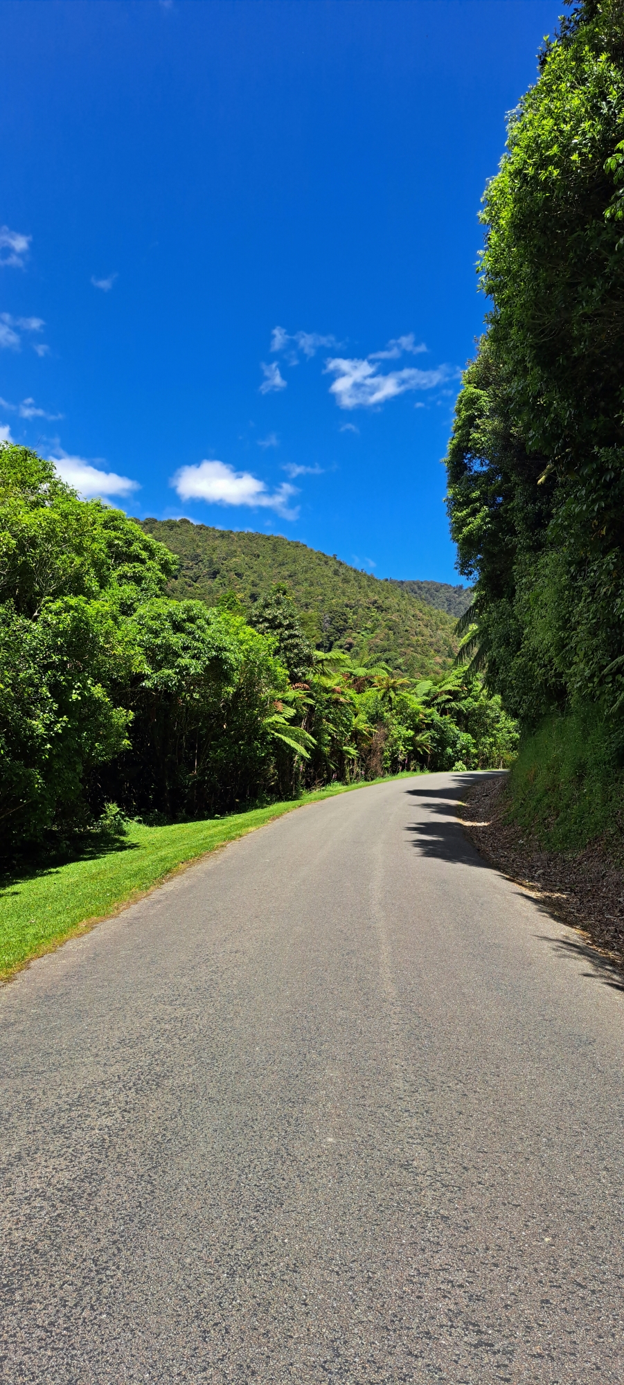
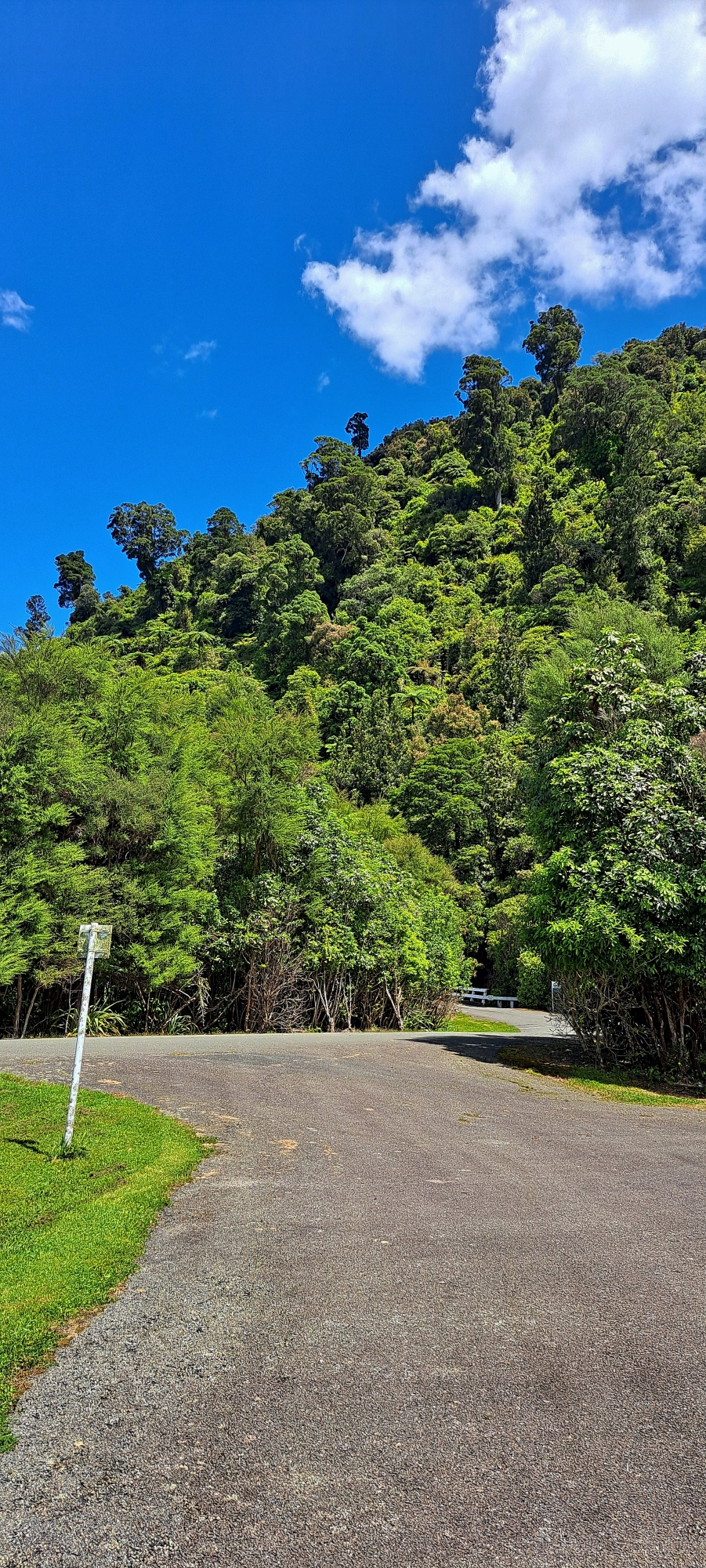
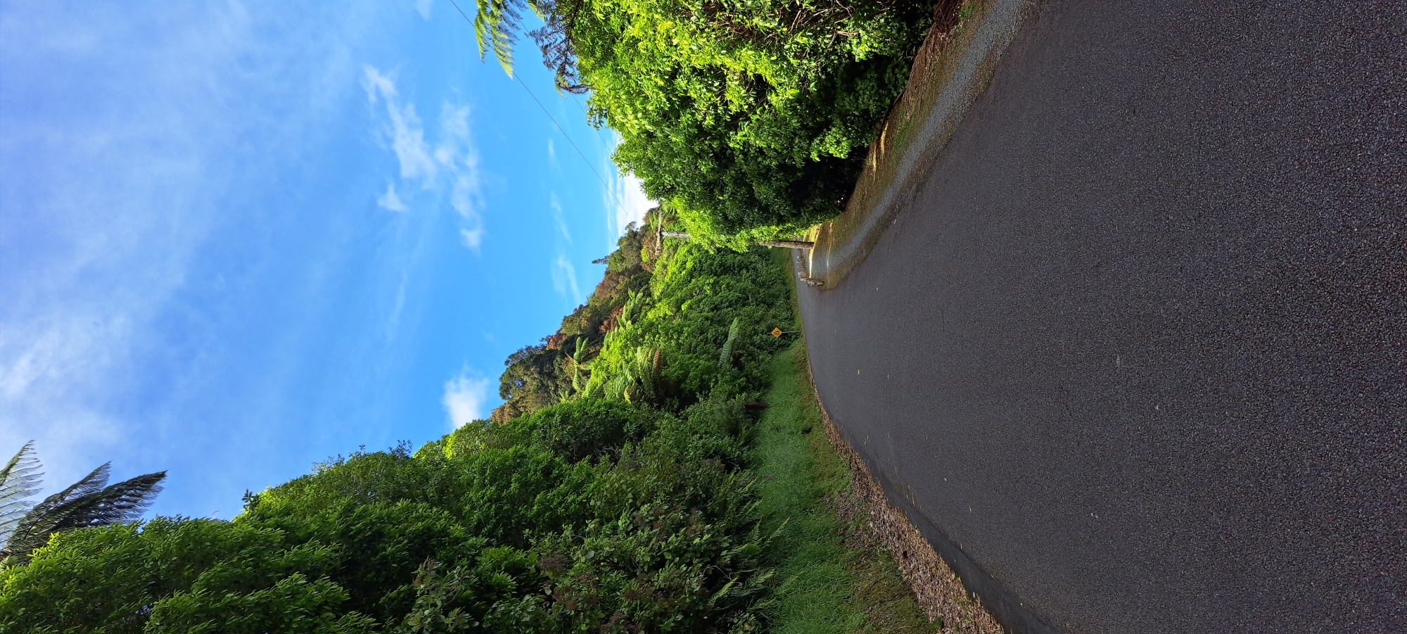
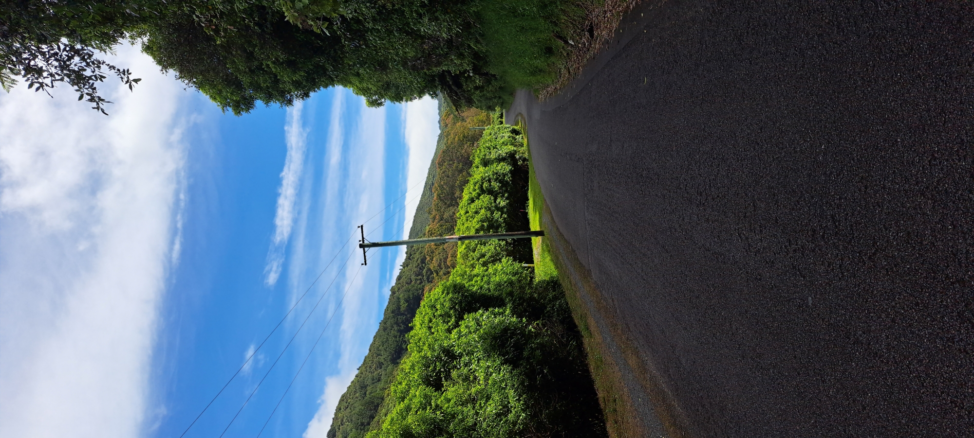
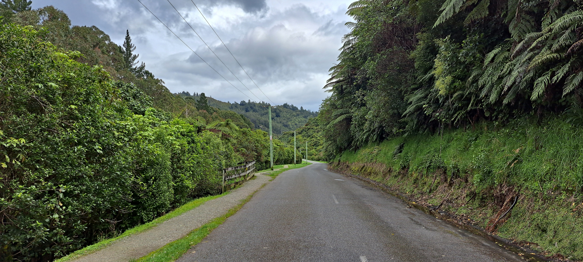
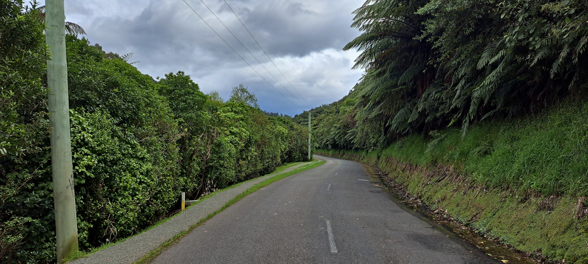
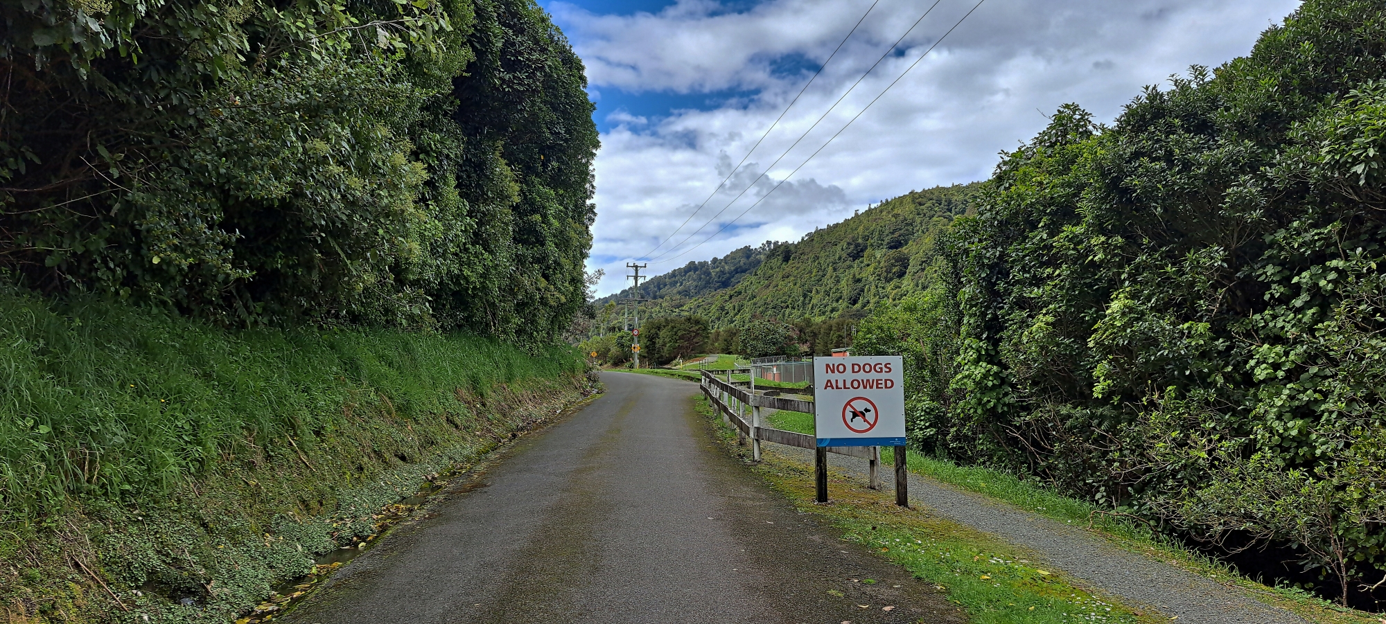
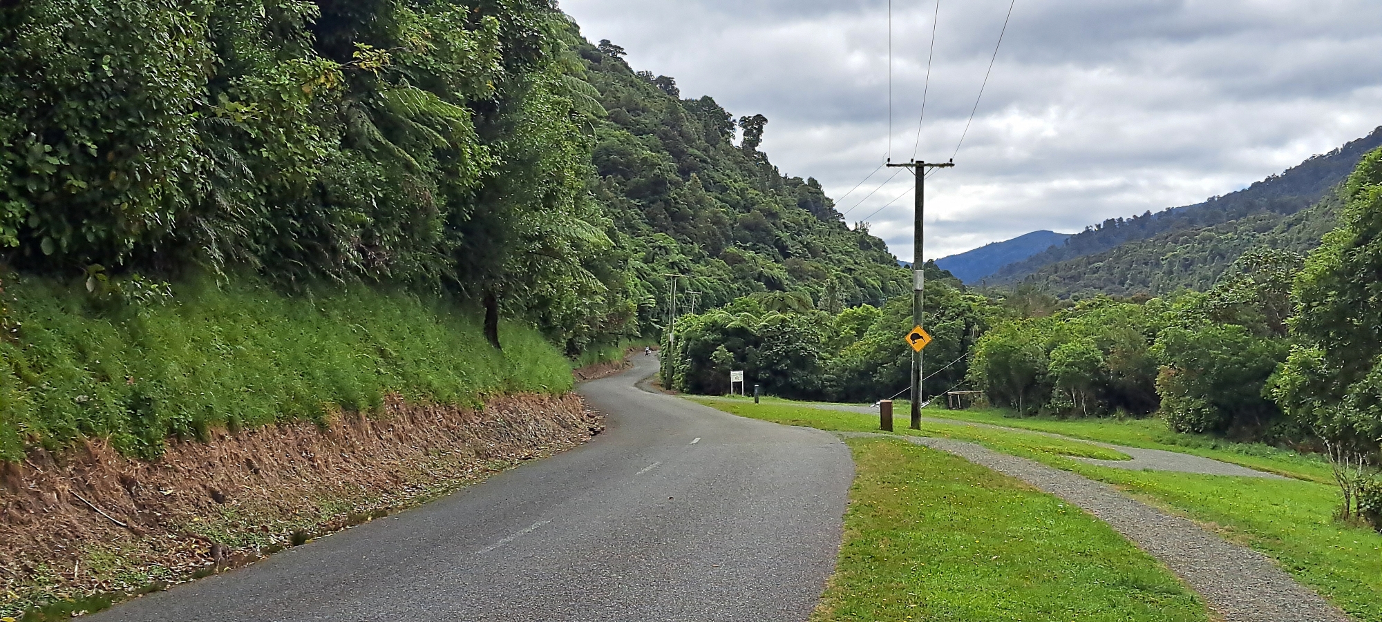
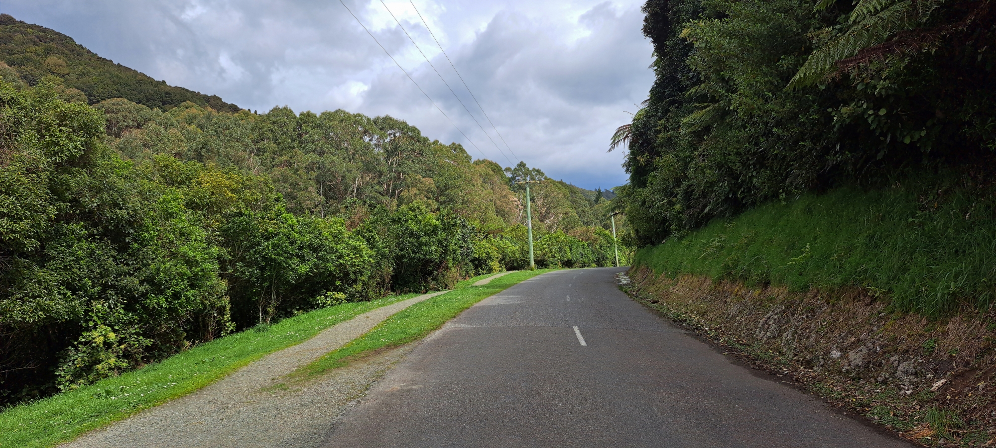
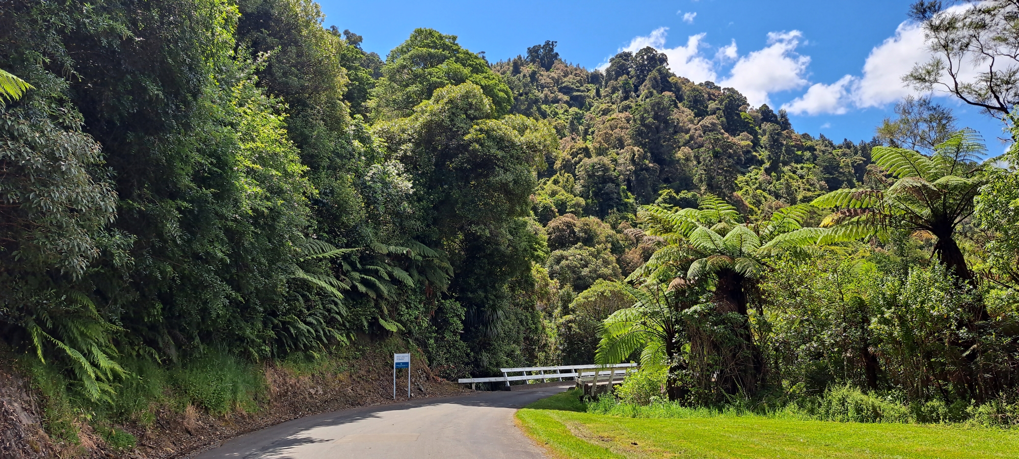
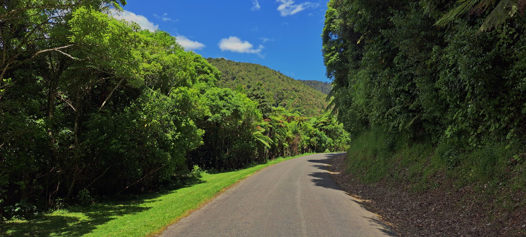
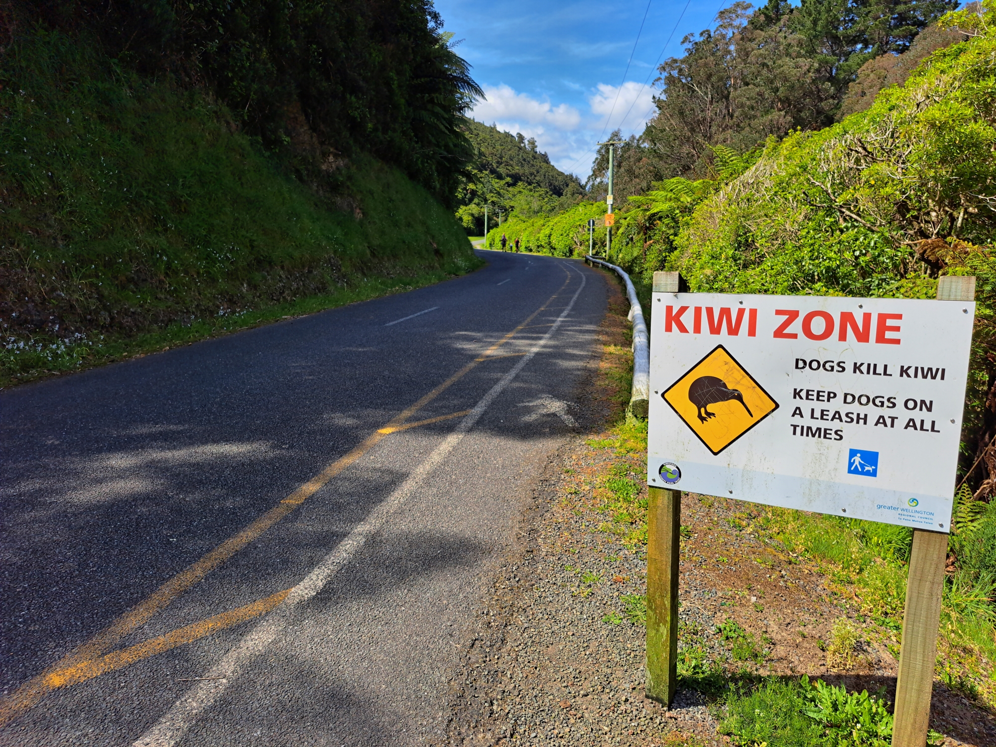
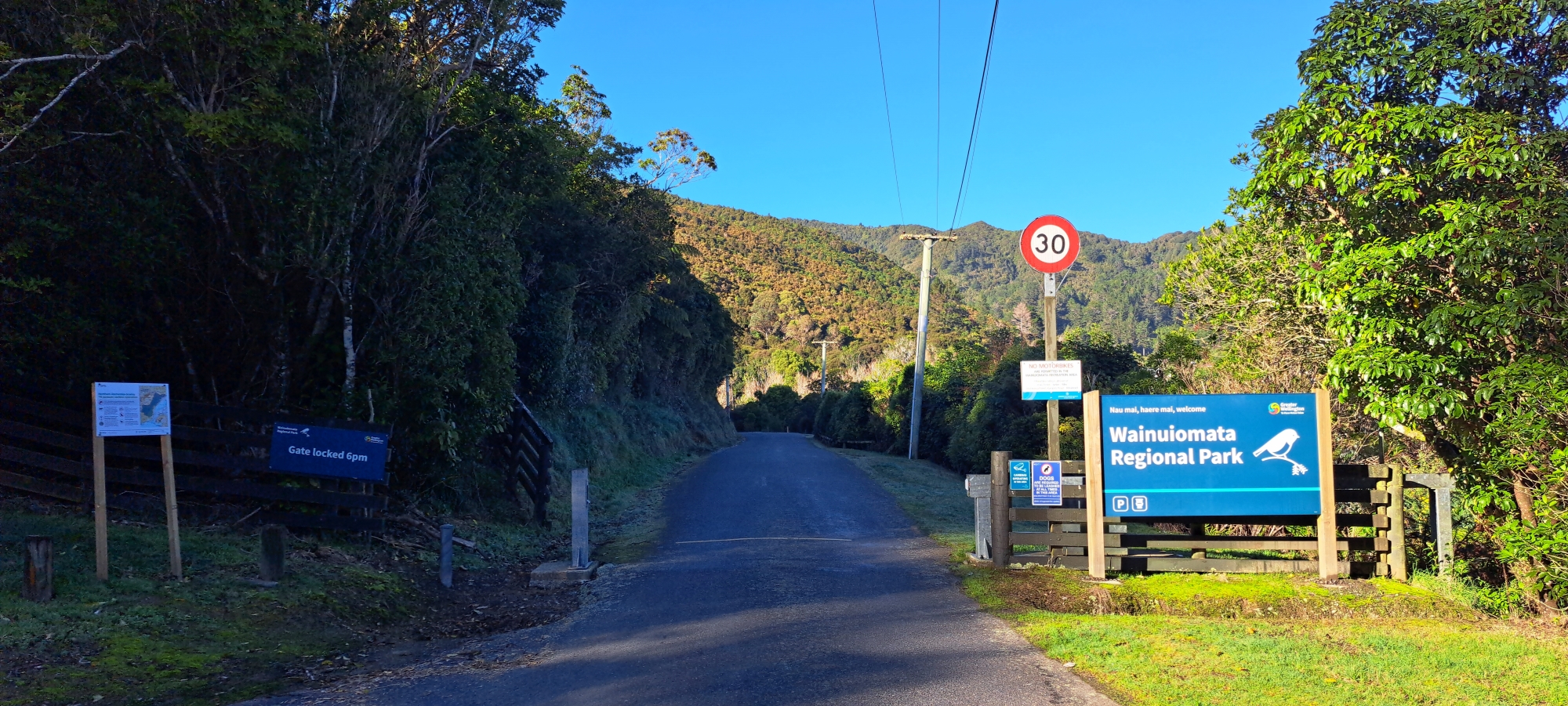
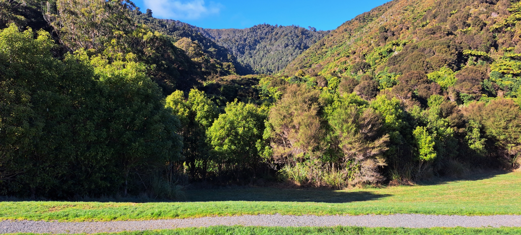
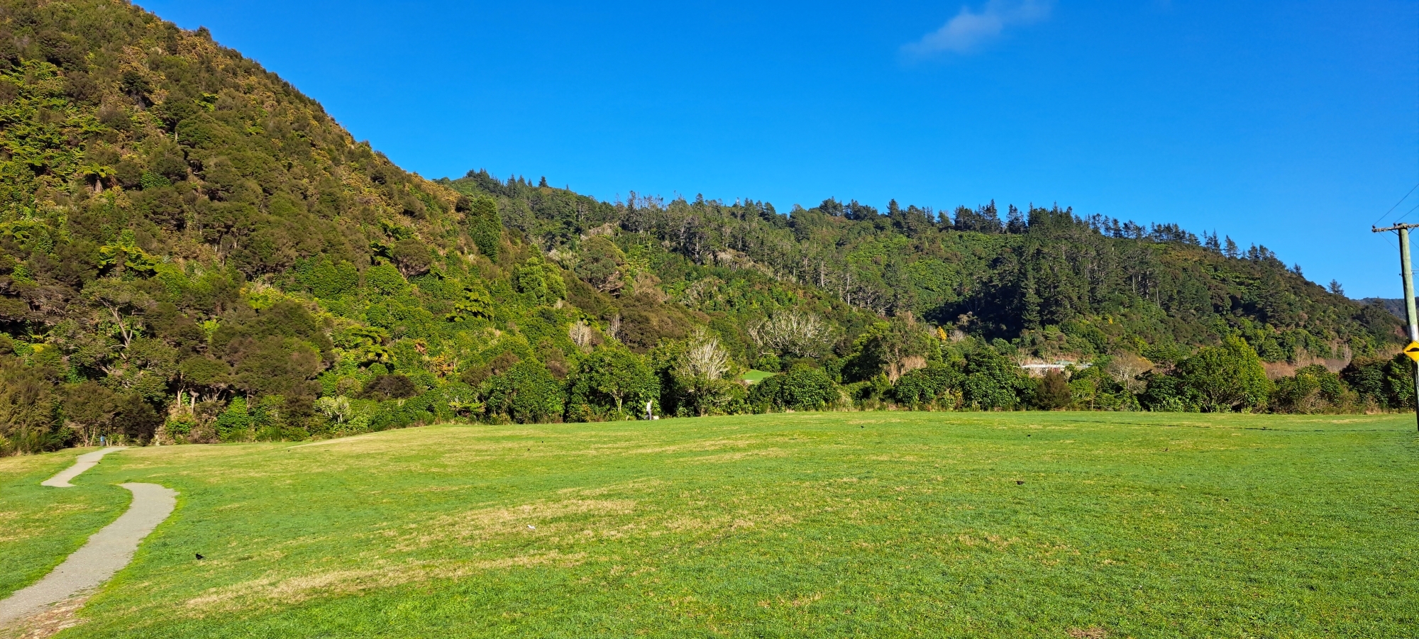
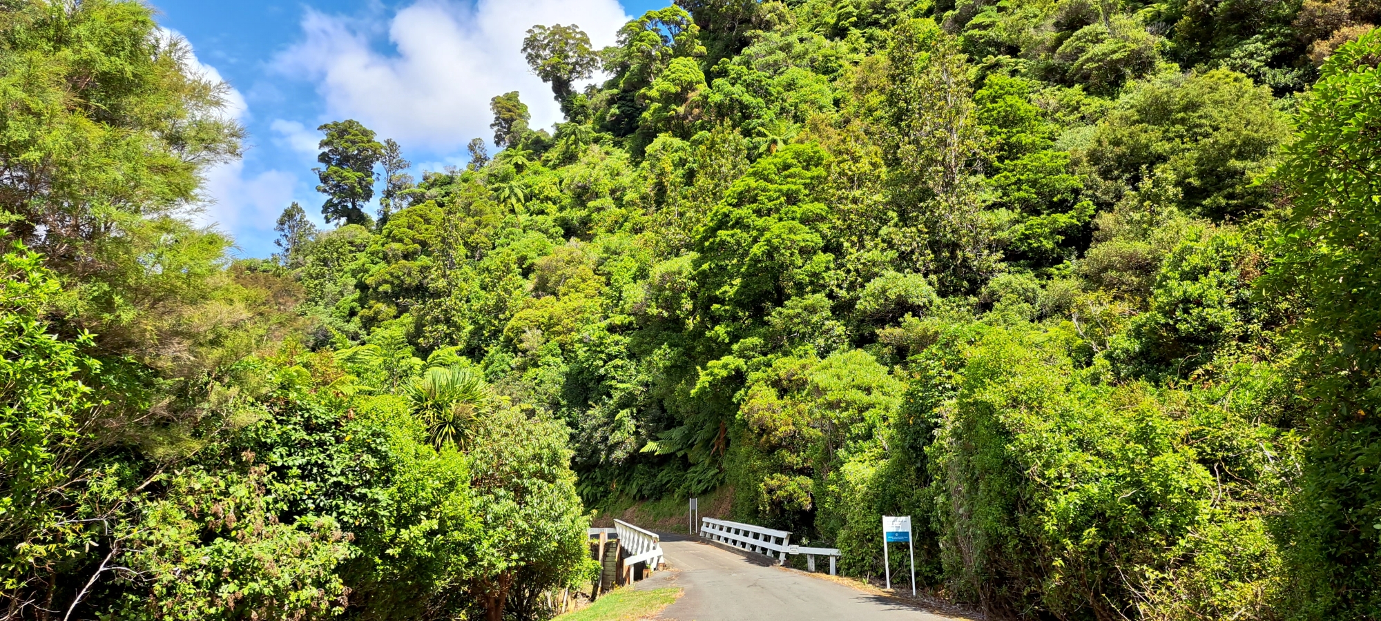
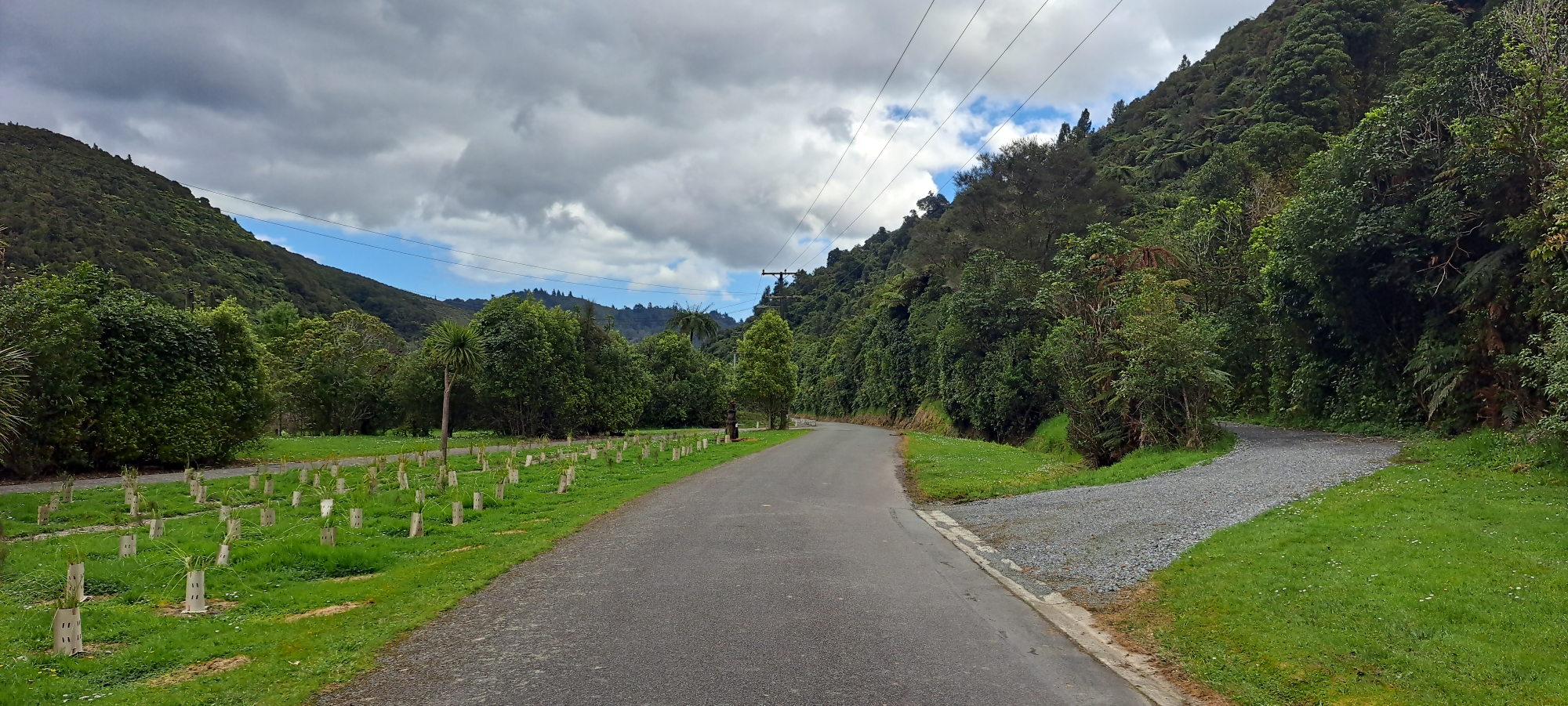
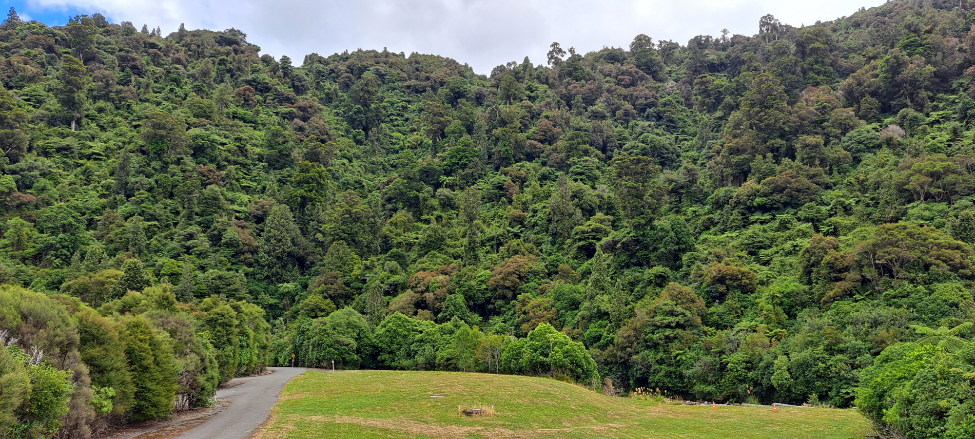
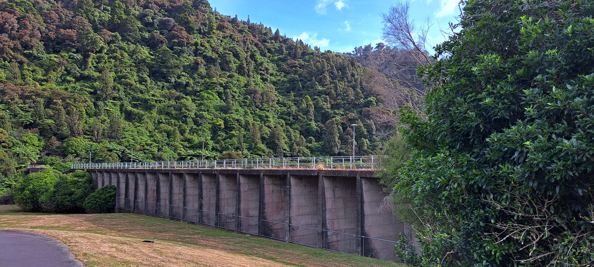
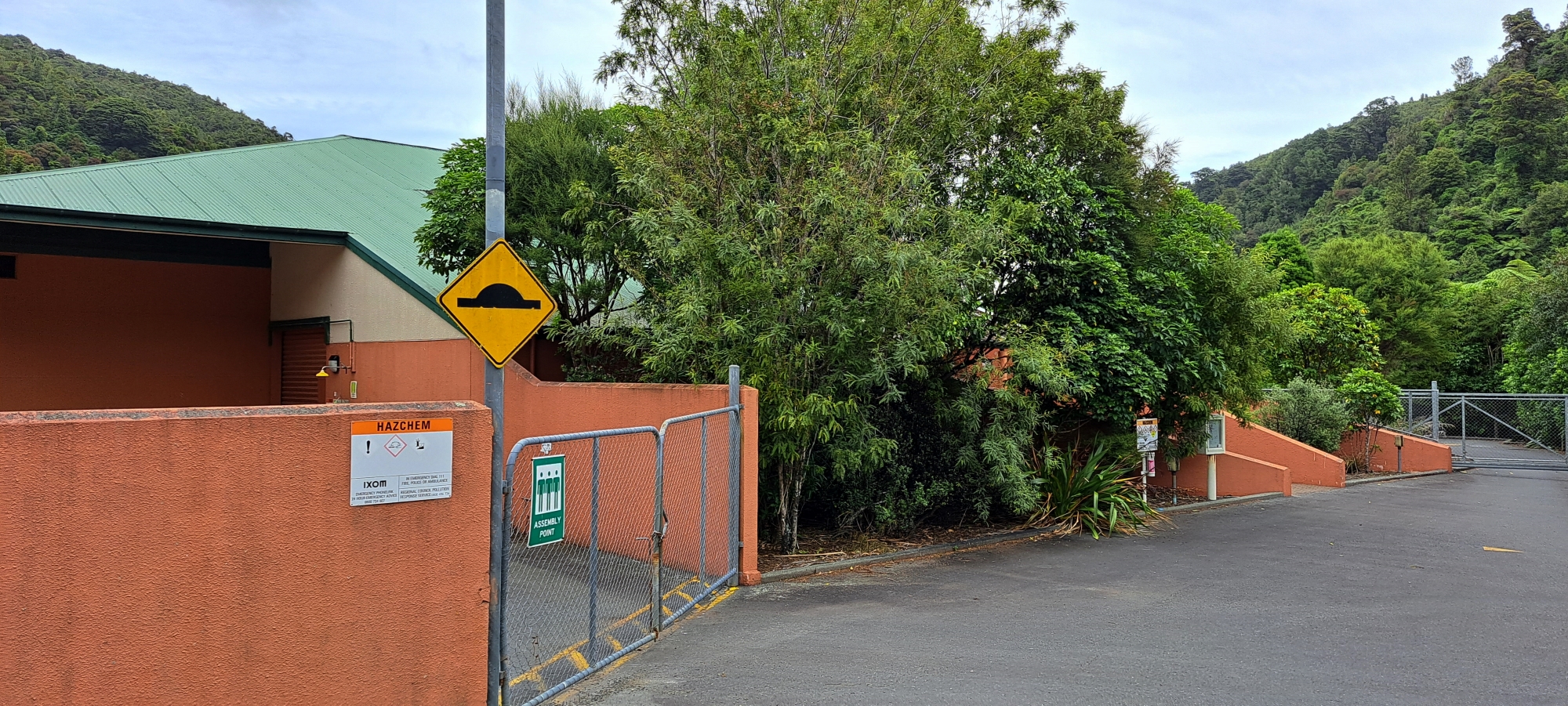
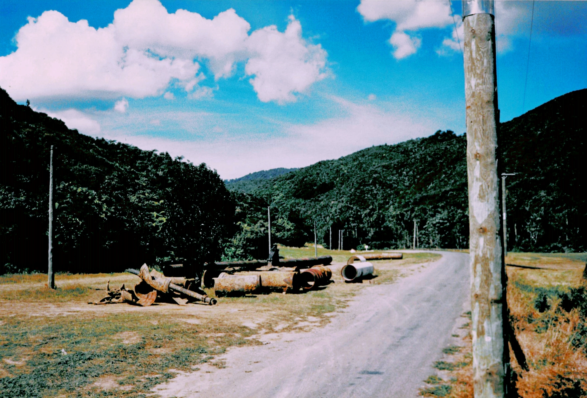
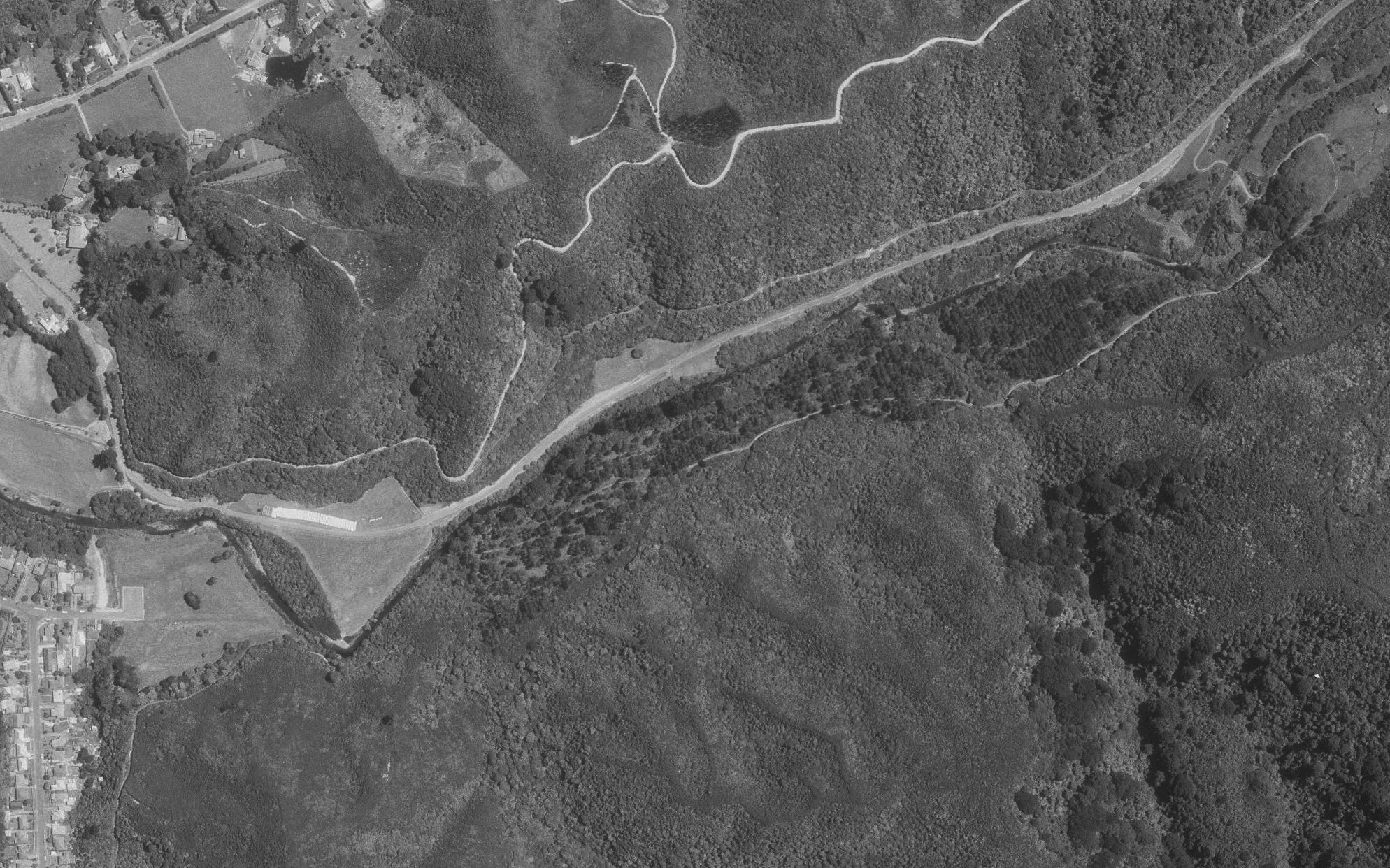
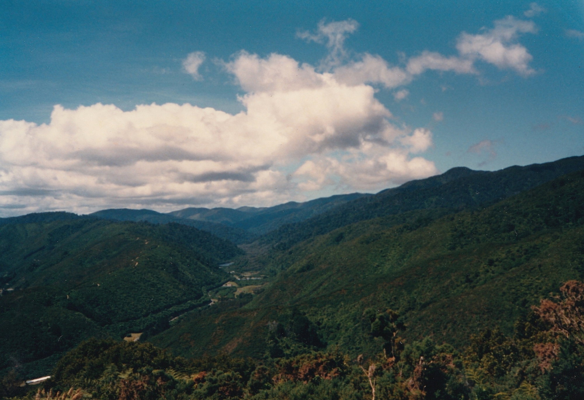
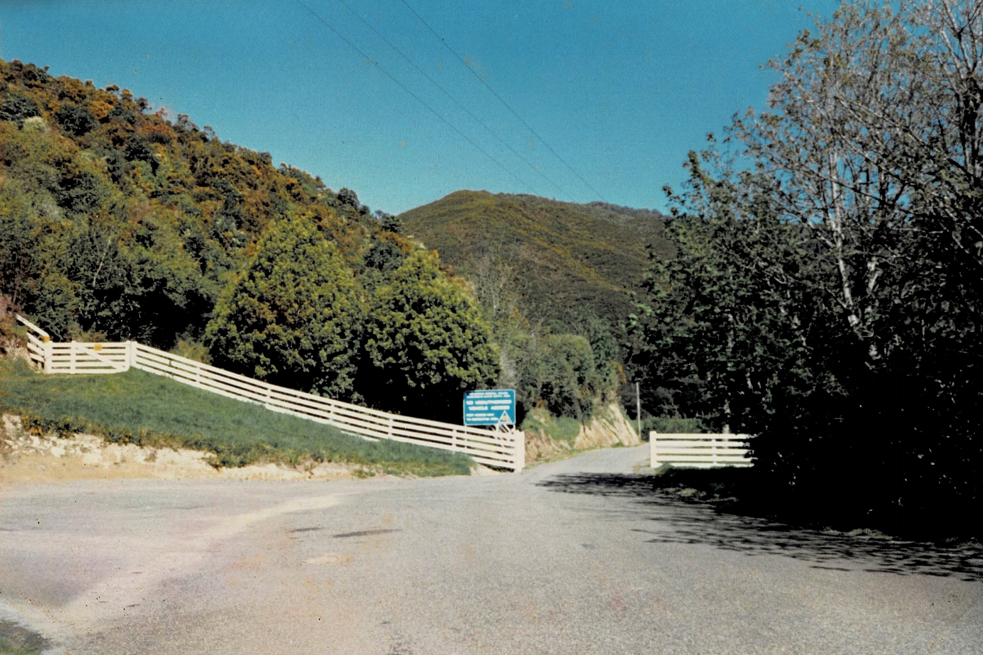
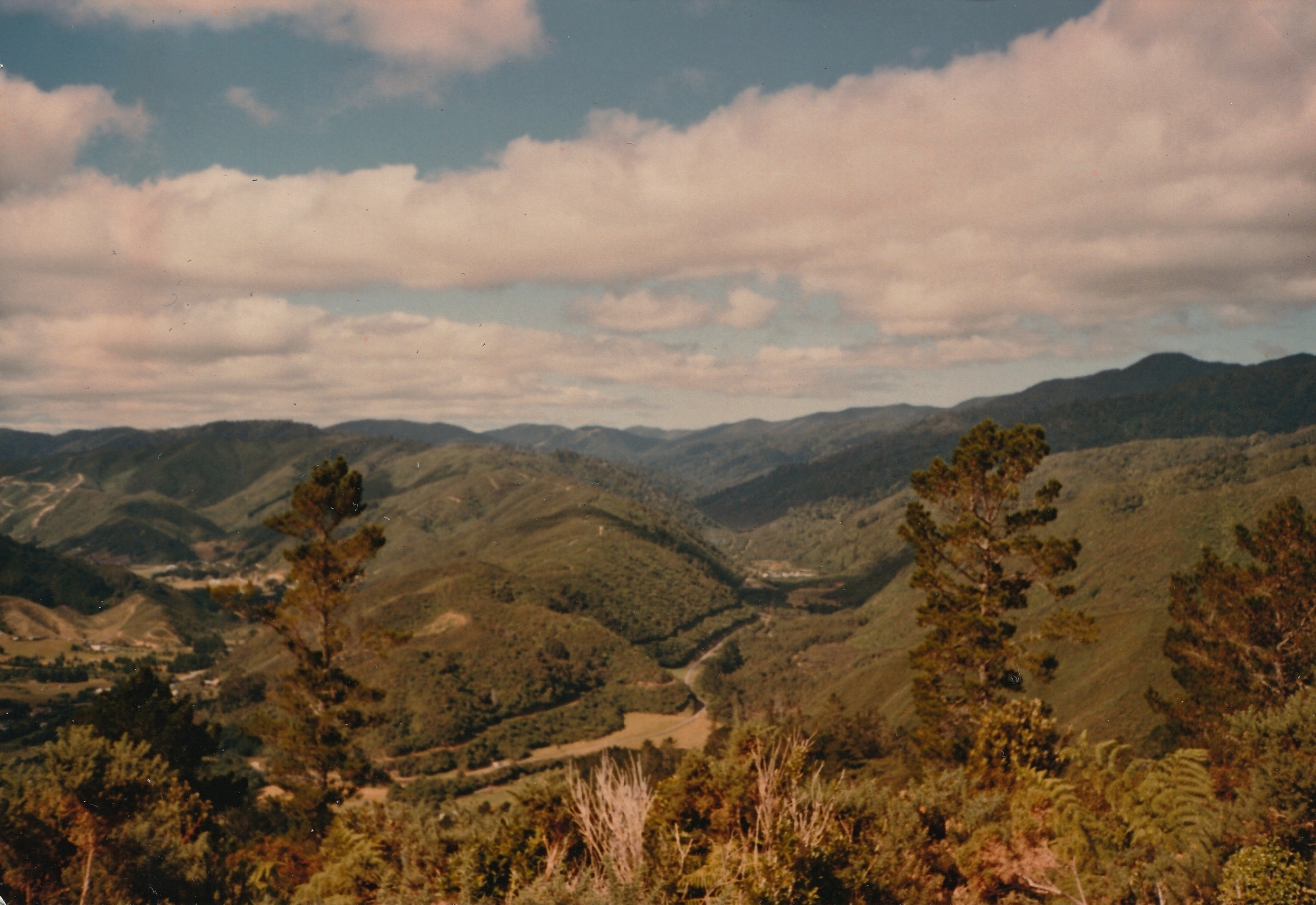
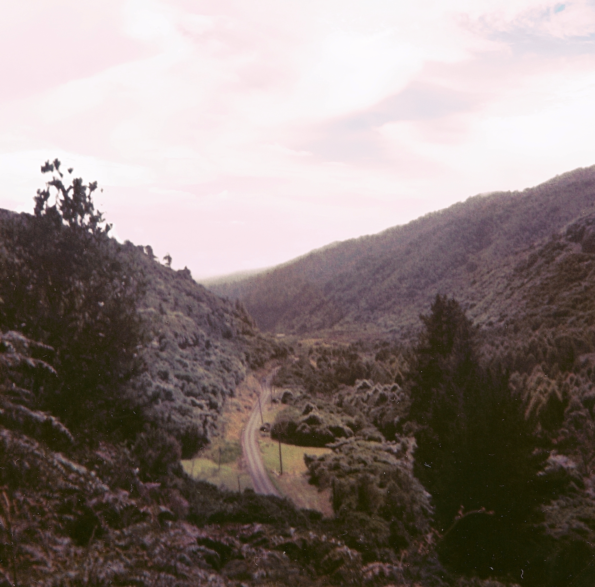
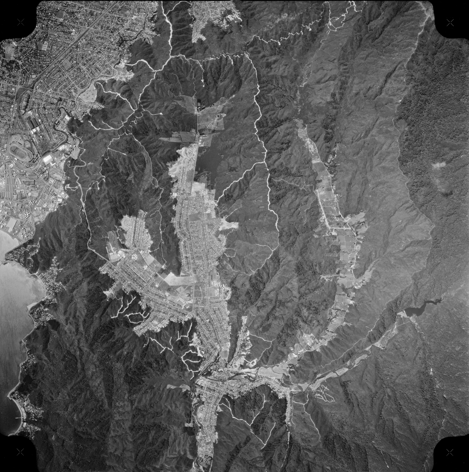

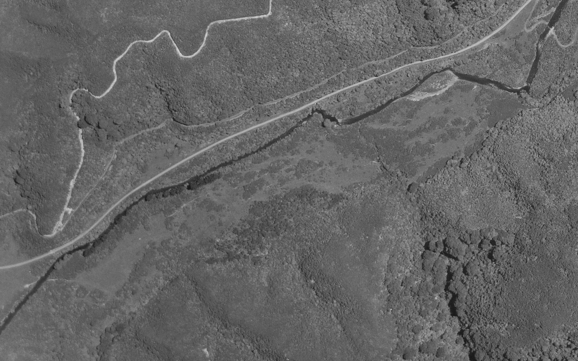
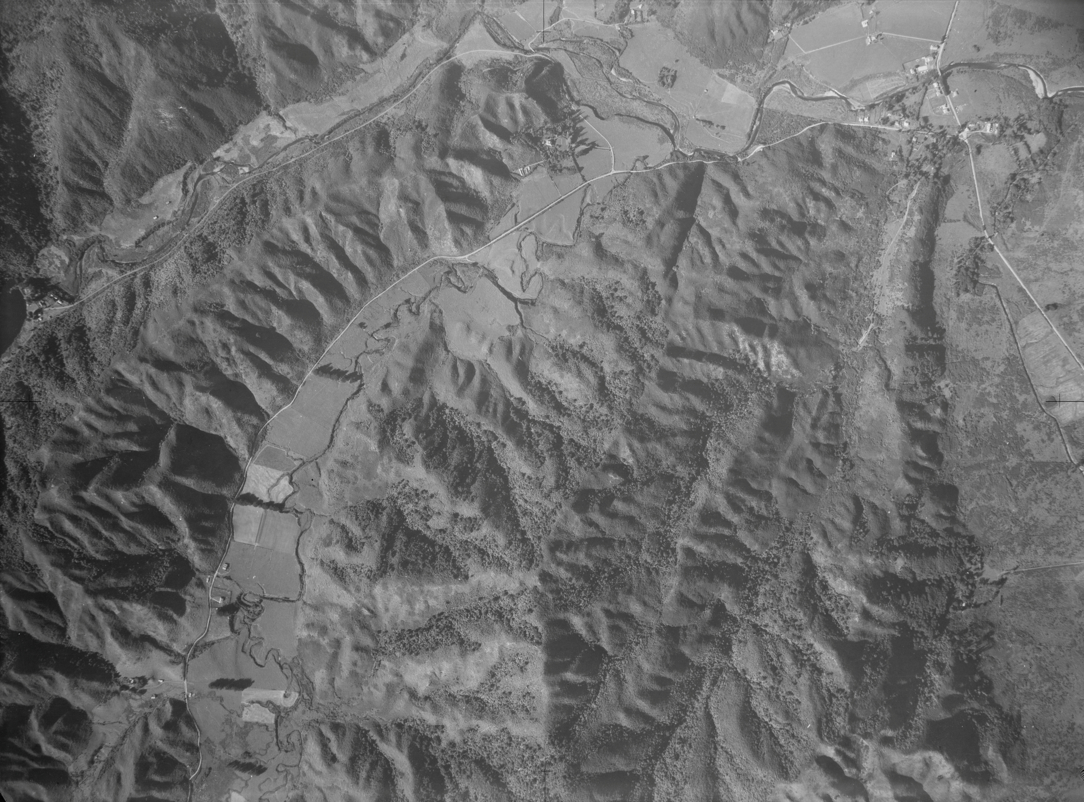
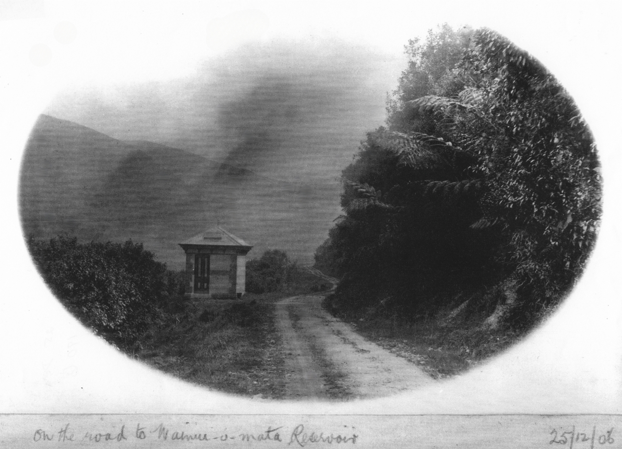
Reservoir Road, a private route for waterworks and council staff, doubles as the Lower Dam Walk.
History
In 1880, the Wellington City Council’s water catchment and pipeline project necessitated the acquisition of Sinclair family land to prevent logging and safeguard the pristine condition of the water catchment area. Although the land was not officially purchased from the Sinclairs, an agreement was reached to cease logging and for the council to have access to the water catchment and land for the water race.
In 1883, the family faced bankruptcy and their assets were sold. Before this, however, they had contributed to the construction of a steel tramway leading to the dam. The tramway first required the formation of a road, which eventually became Reservoir Road. The following newspaper report outlines the agreement between the Sinclair family and the Council.
We, Messrs J. and D. Sinclair, agree to the following arrangements, viz. – That the Council form a road from the mills to the proposed reservoir, the road to be formed on a gradient suitable for a railway, we undertaking to ballast said line and lay rails, &c., and to carry all cement or other materials for the Corporation or contractor under them, or their servants, that may be required in carrying out the waterworks at Wainui-omata. This to be done free of charge. In consideration of above agreement, we agree to allow the Corporation to carry water-race and water-pipes through the whole of our properties at Wainui-o-mata and Lowry Bay district free of any charge or claim for compensation for all time. The Corporation, where passing through grass lands, undertaking to leave the land in proper order after finishing the laying of the
pipes.”
The tramway was eventually removed and the steel sold, and the road remained unsealed for many years before it was finally paved and widened.
Today
Reservoir Road is primarily a service route for waterworks and regional council staff, but it also doubles as the Lower Dam Walk, which is an integral part of the Gums Loop Walk. This private road, mostly free of vehicles, offers a pedestrian-friendly experience. Although a separate path next to the road is the official walkway, but most walk along the road.
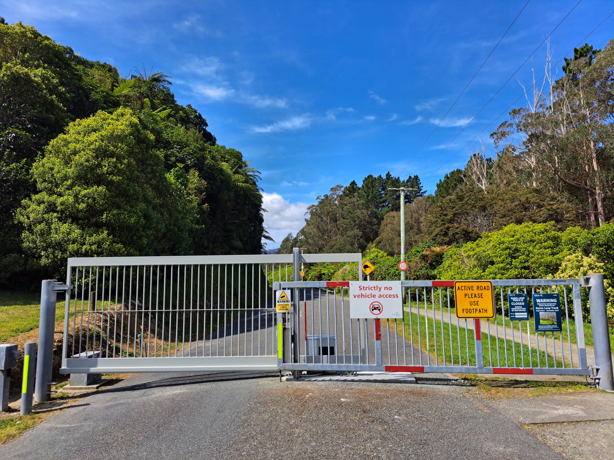
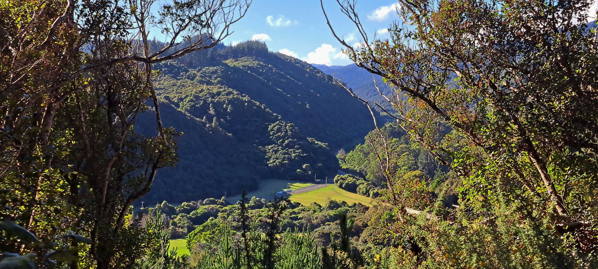
While the road is open to the public for driving up to the car park, vehicle access beyond this point is restricted by a locked gate. This marks the beginning of the path leading to the Waterworks Recreation Area, home to a historic dam and a water museum. Along the way, visitors can explore various walking tracks and enjoy tranquil swimming spots like Ultimate Pool.
Just east of the Wainuiomata Water Museum and the old dam, a locked gate restricts access to the road leading to Morton Dam and the Wainuiomata Treatment Plant. Around this point, the road eventually passes a carpark for the treatment plant and then connects with George Creek Road which was built for the construction and maintenance of the Orongorongo pipeline and tunnel.