Image © Jeremy Foster.
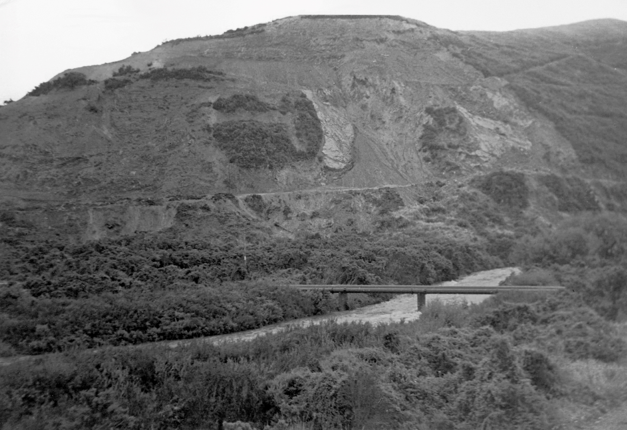
“The Rock” typically refers to the hillside that rises from the end of the suburban section of Moores Valley Road towards the viewpoint overlooking Richard Prouse Park, before the confluence of the Wainuiomata Stream and Wainuiomata River.
The area was quarried from the 1930s through to the 1970s, leaving behind the rocky terraces and exposed faces in earlier years but has since been covered by regenerating native bush including tracts of fern trees. Its elevated position also made it a suitable site for an aerial transmitter. While the mast is gone today, the foundations and track to the mast still exist. This smaller offshoot track has a series of steps leading up the hill.
Today, you can walk from Moores Valley Road to the Gawler Reservoir via the old quarry route, which features a cut track. Another track from Gawler Reservoir leads to the Mowlem Trig and the Wainui Centre Firebreak. Additionally, there is a track that goes up the gully where dynamite was once stored.
Rock Pool in the Wainuiomata River is situated at the base of The Rock in Richard Prouse Park. There used to be access from Moores Valley Road down to here, but it has been overgrown since the mid-1990s.


