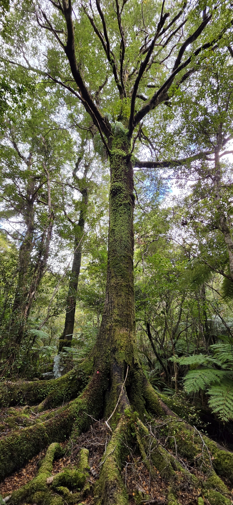
My most promising day yet searching for evidence of historic gold prospecting.
With a larger expedition planned in the coming weeks with Tony Weir, exploring Gollans Stream from its upper reaches to the southern end of the Northern Forest, I decided to undertake a shorter reconnaissance trip, keeping an eye out for evidence of historic gold prospecting. Several old newspaper articles describe prospectors from Days Bay and other close by bays crossing the range in search of gold, so I was particularly interested in finding any traces of their activities.
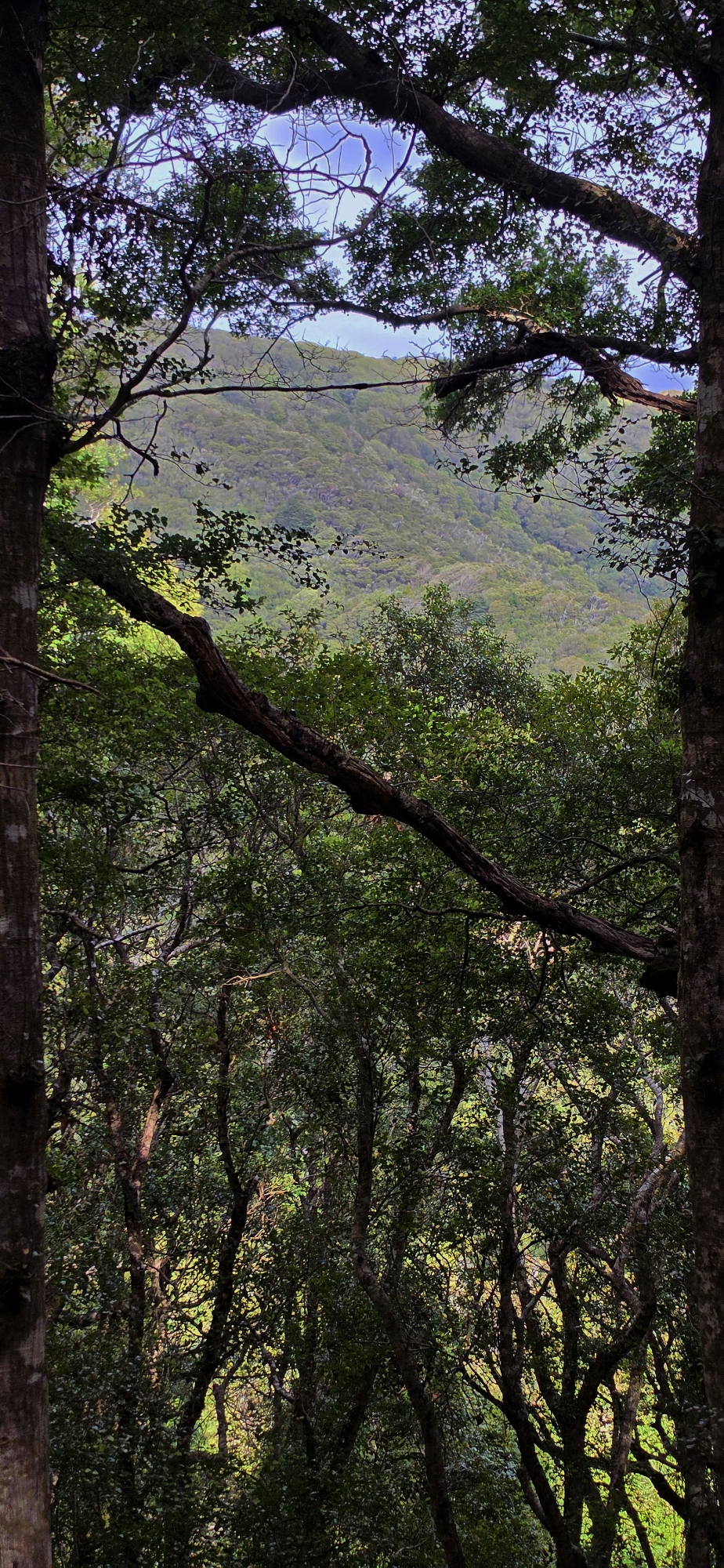
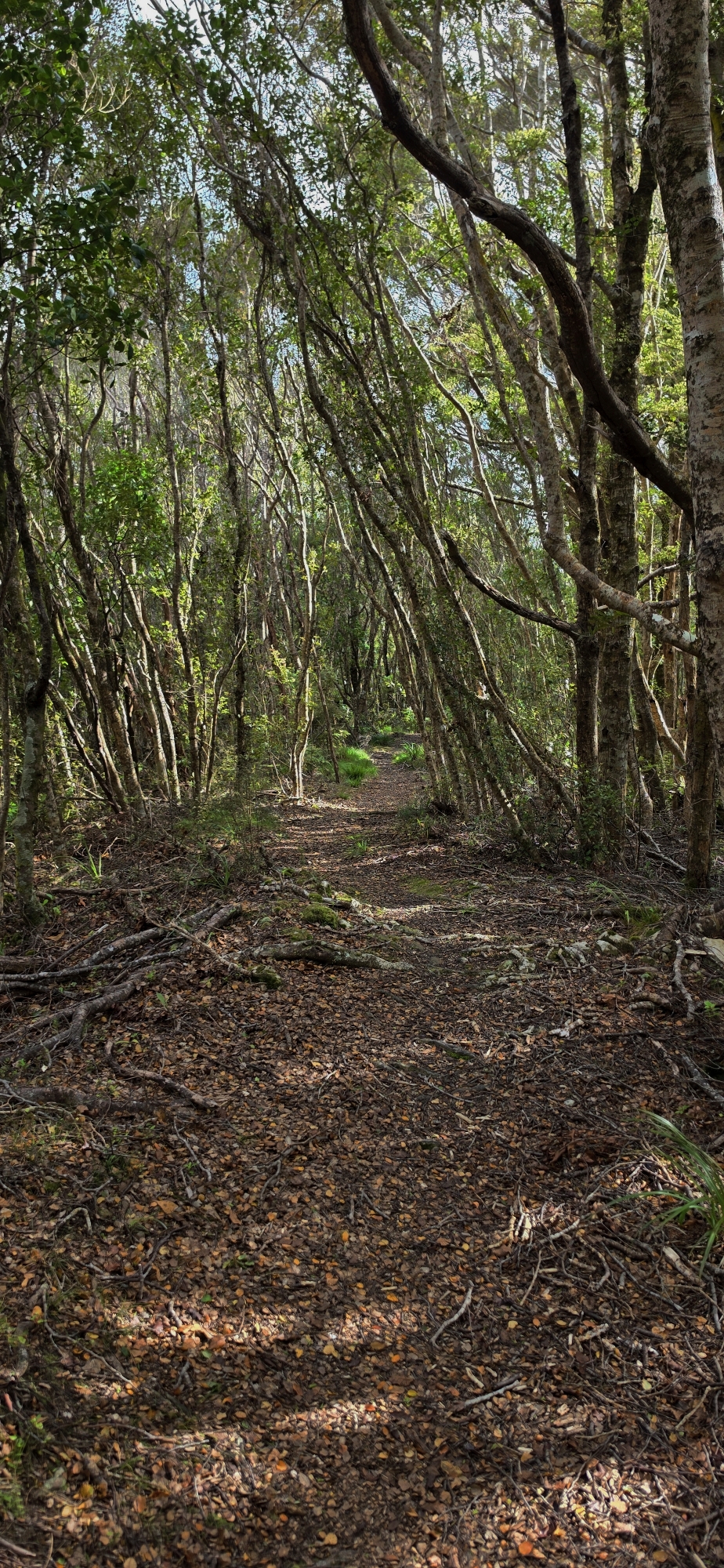
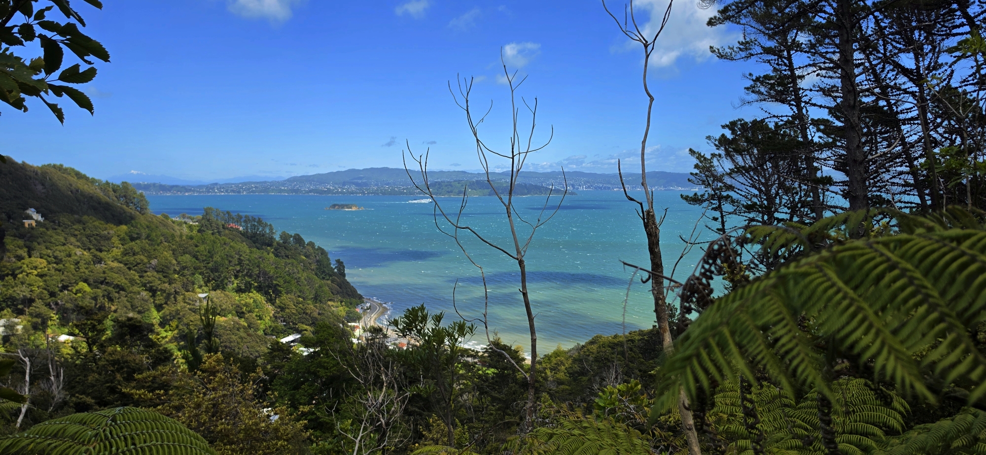
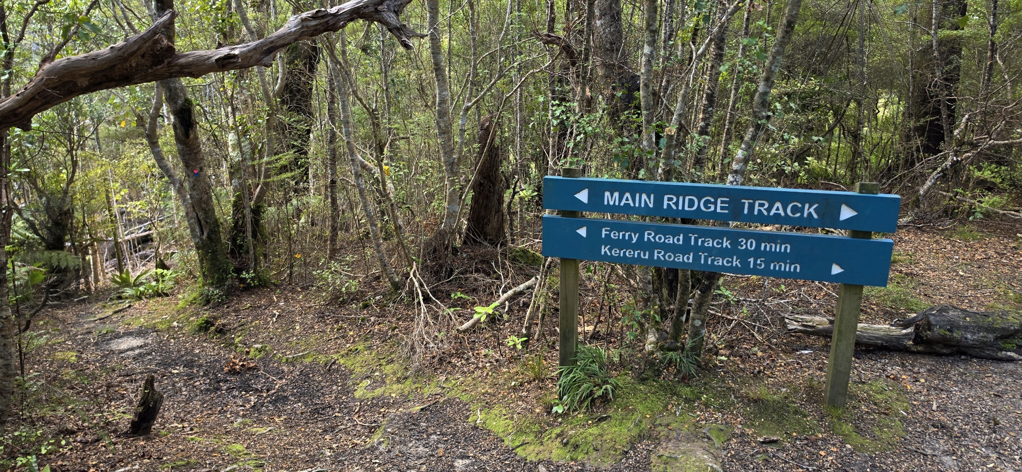
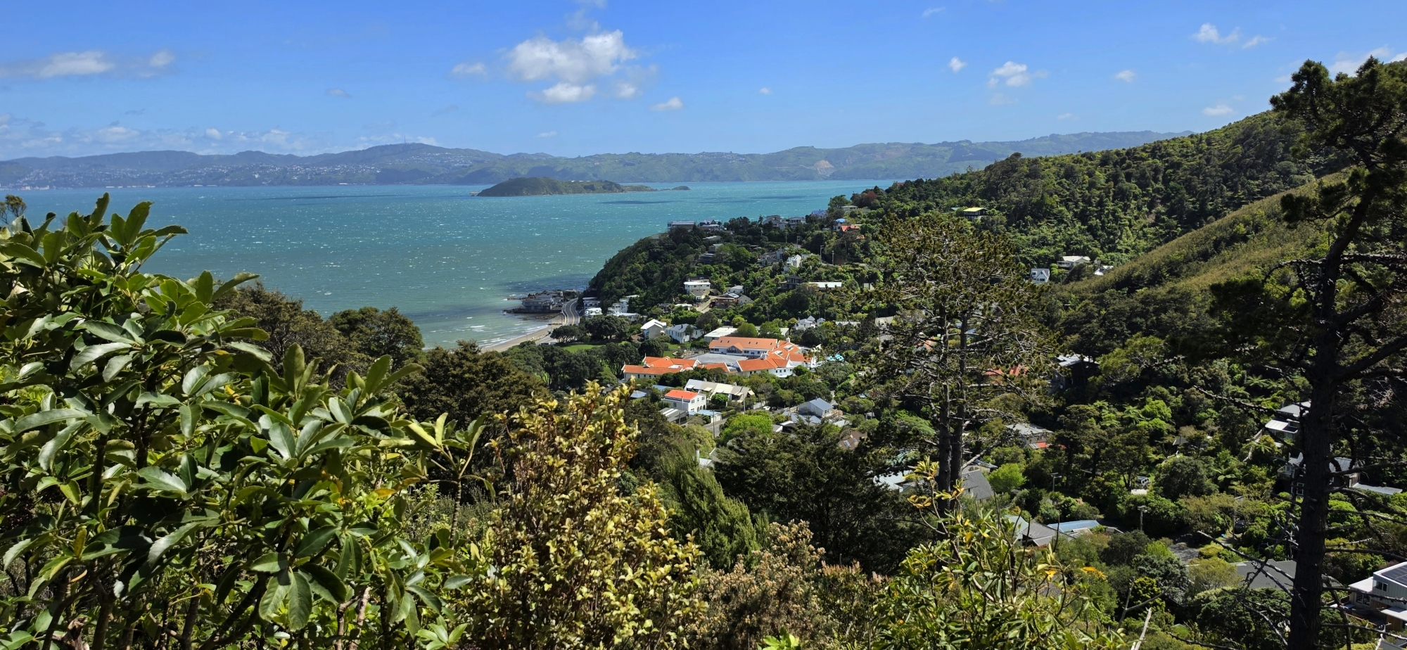 I began above Days Bay, climbing the Korimako Track to the Main Ridge Track. According to the DOC map at the entrance, a short walk along the ridge would bring me to a gully where a creek descended directly into Gollans Stream.
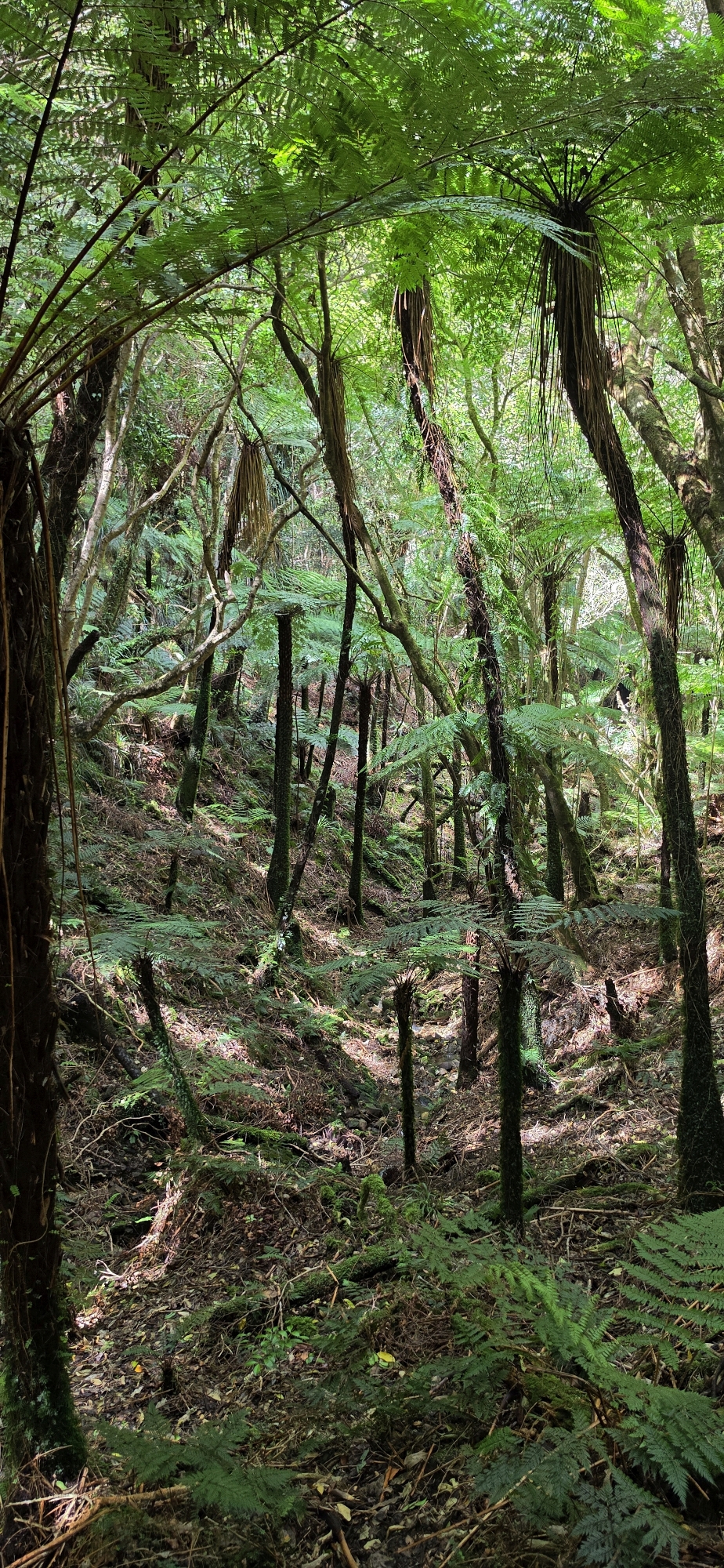
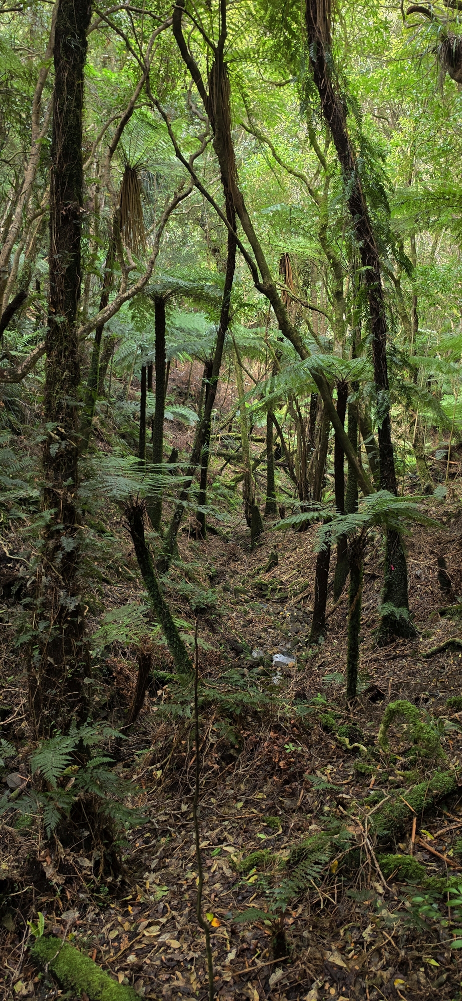
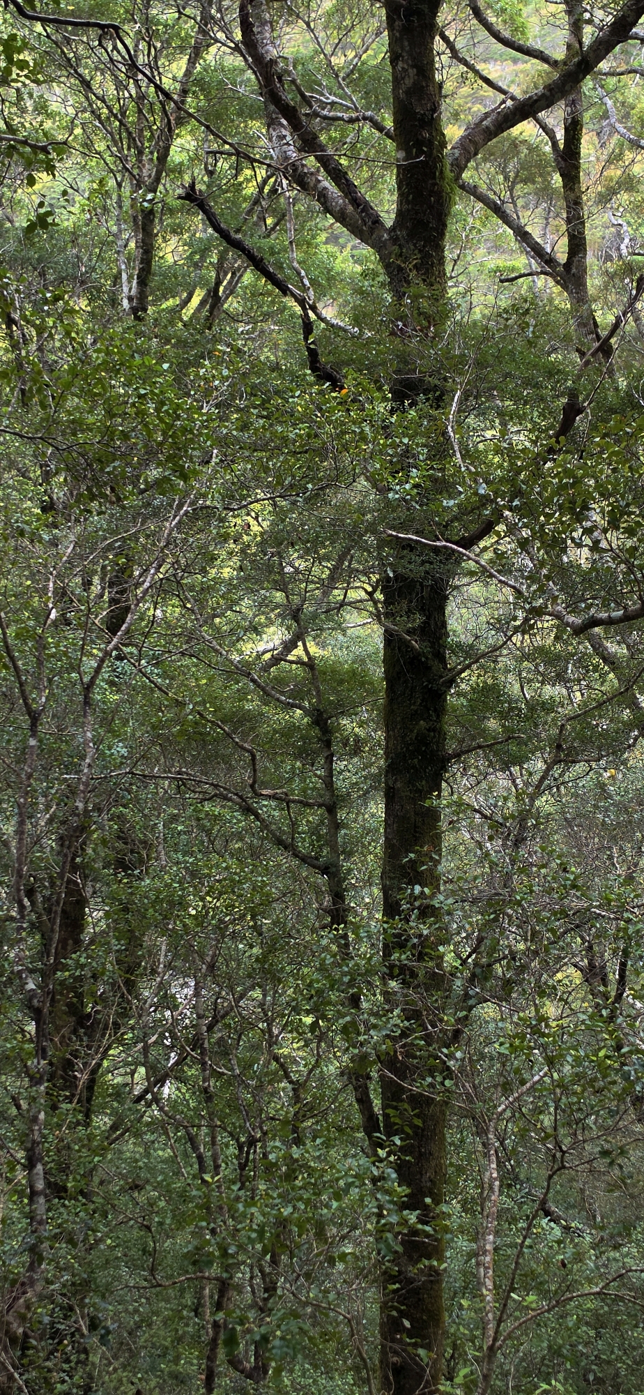
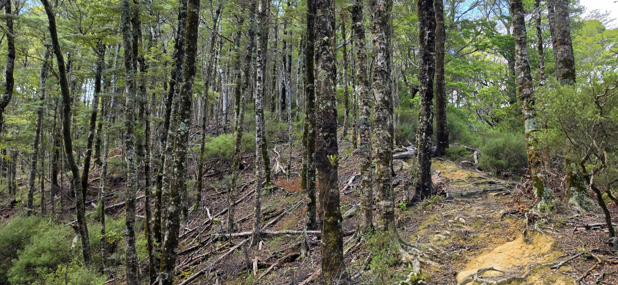
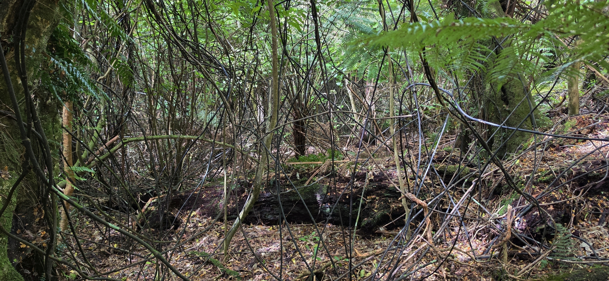
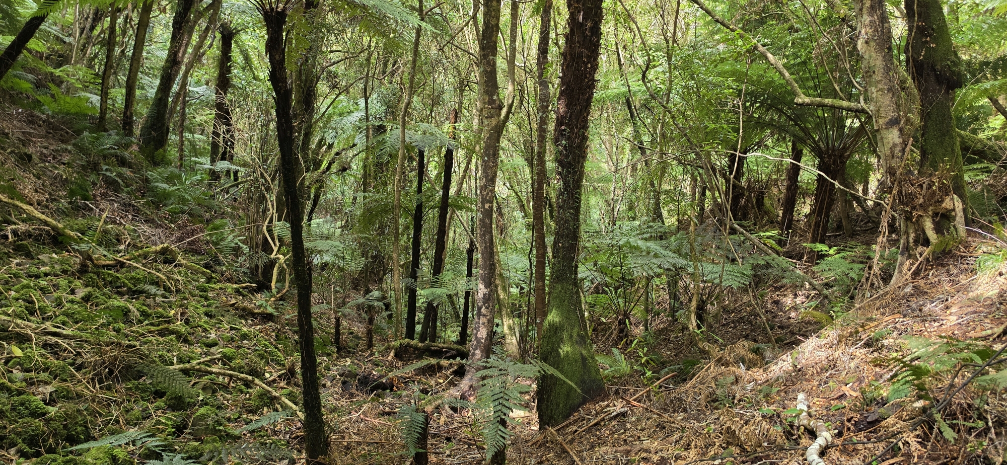
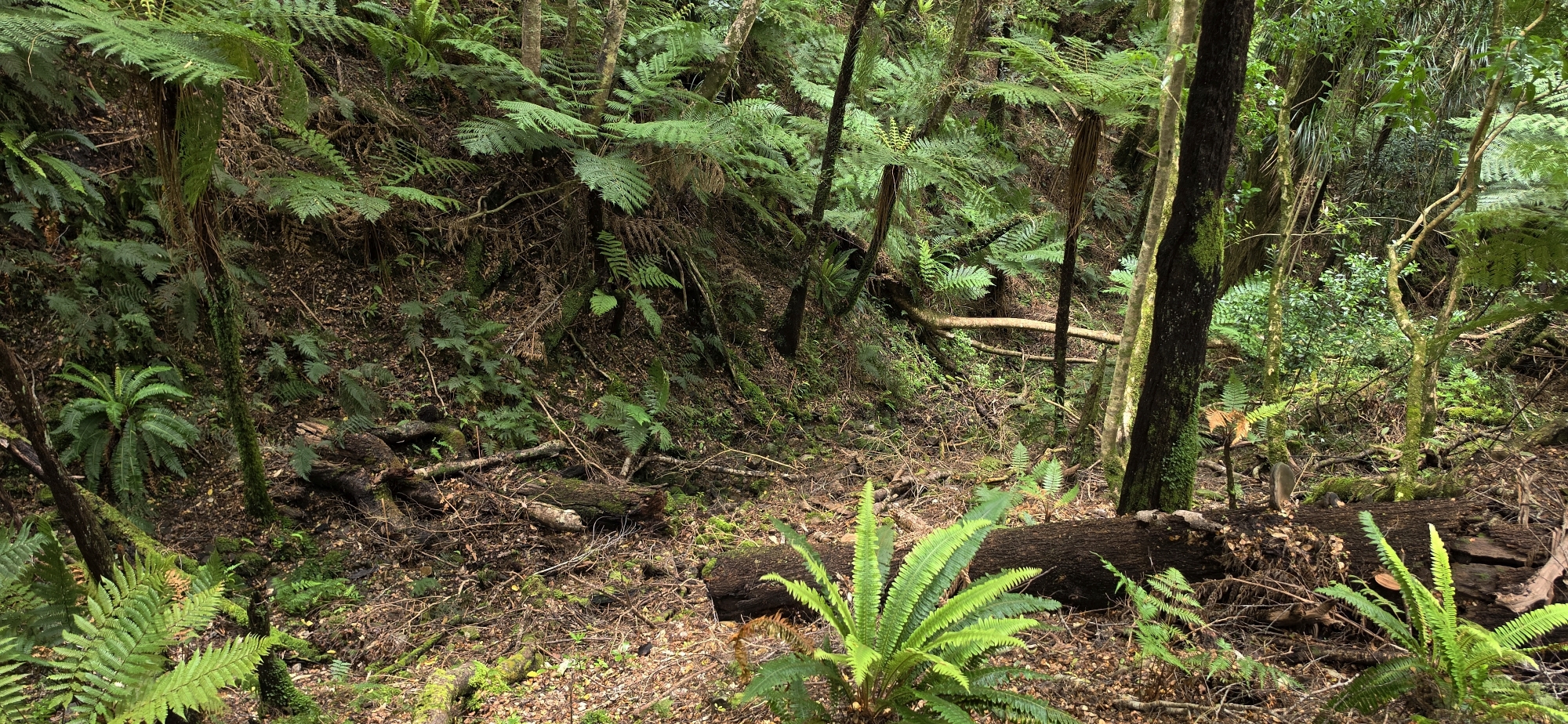
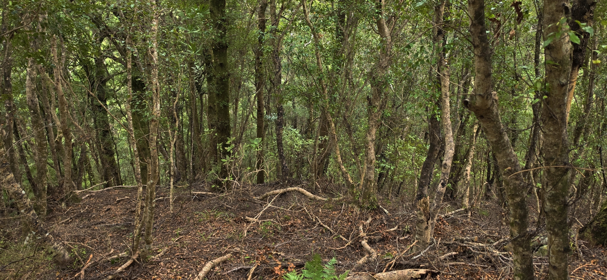
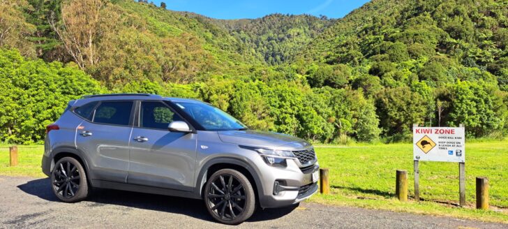
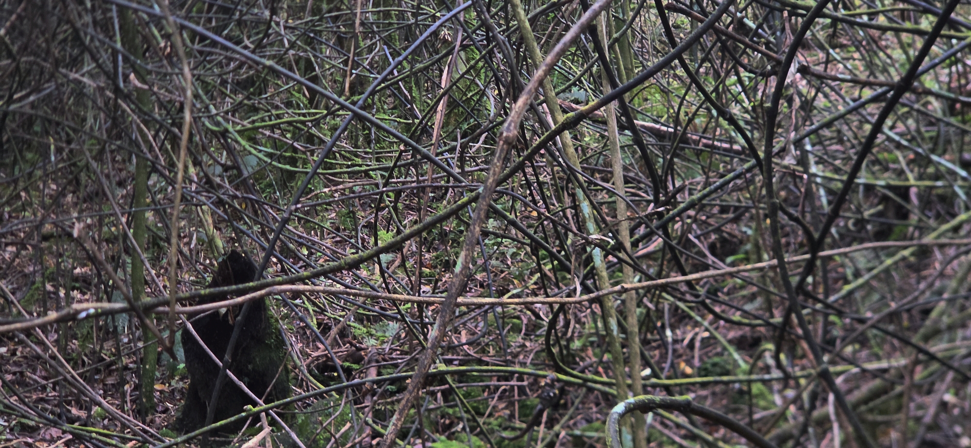 I saved myself a considerable climb by parking at the top of Korimako Road, eliminating roughly a third to half of the ascent. Once on the ridge, I found the gully, but it looked uninviting, with fallen trees and dense supplejack obstructing the descent. The terrain eventually opened up, although the slippery slopes remained challenging. Fortunately, the supplejack provided useful handholds.
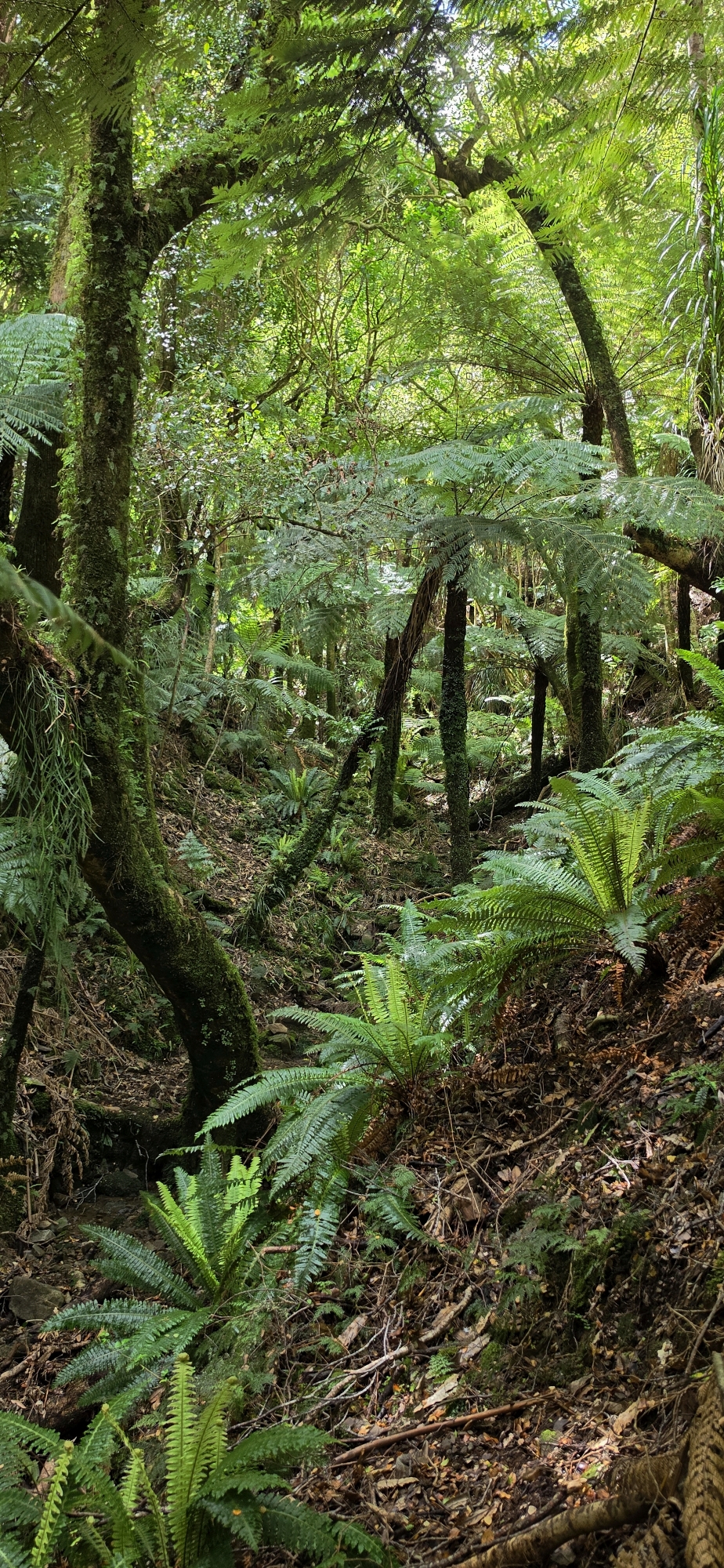
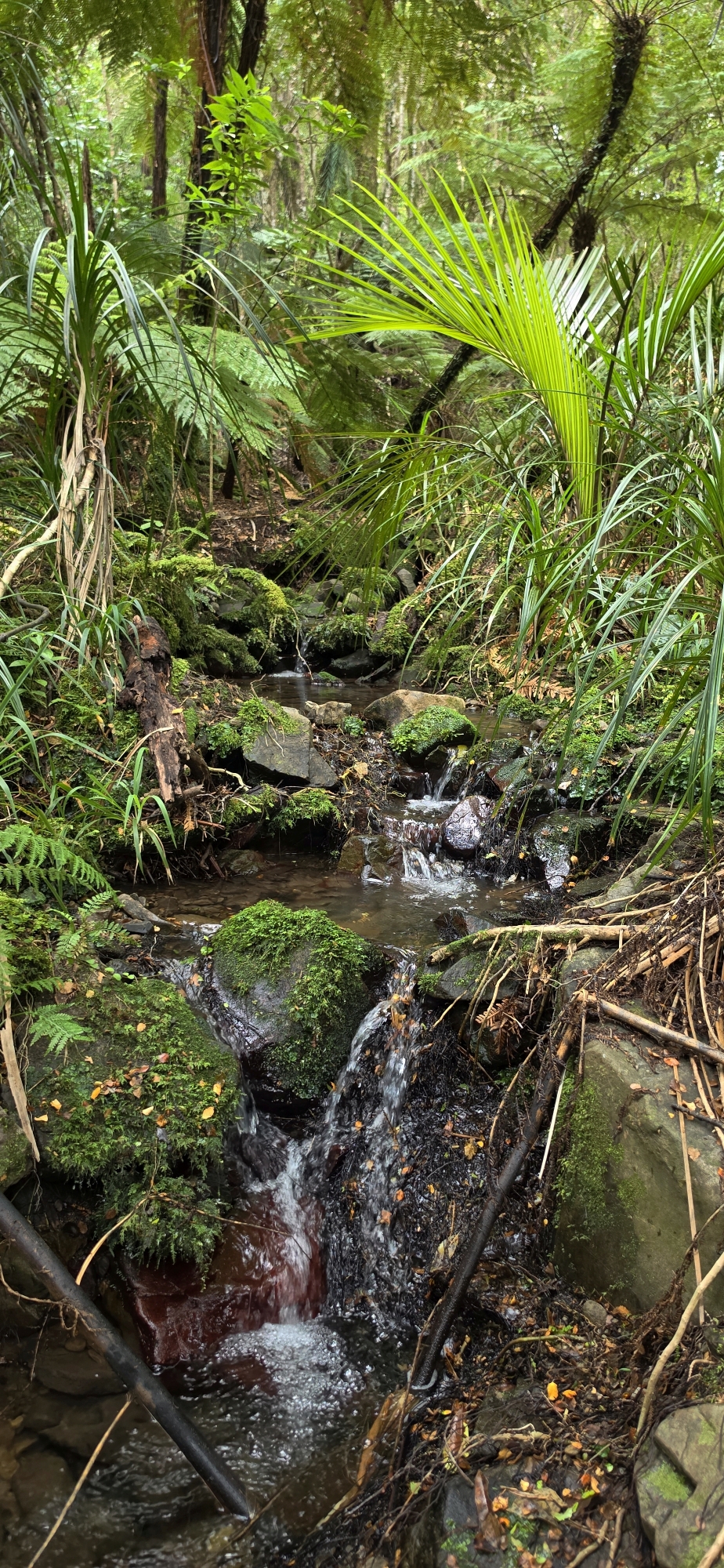
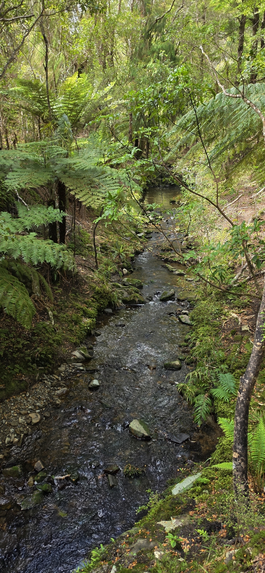
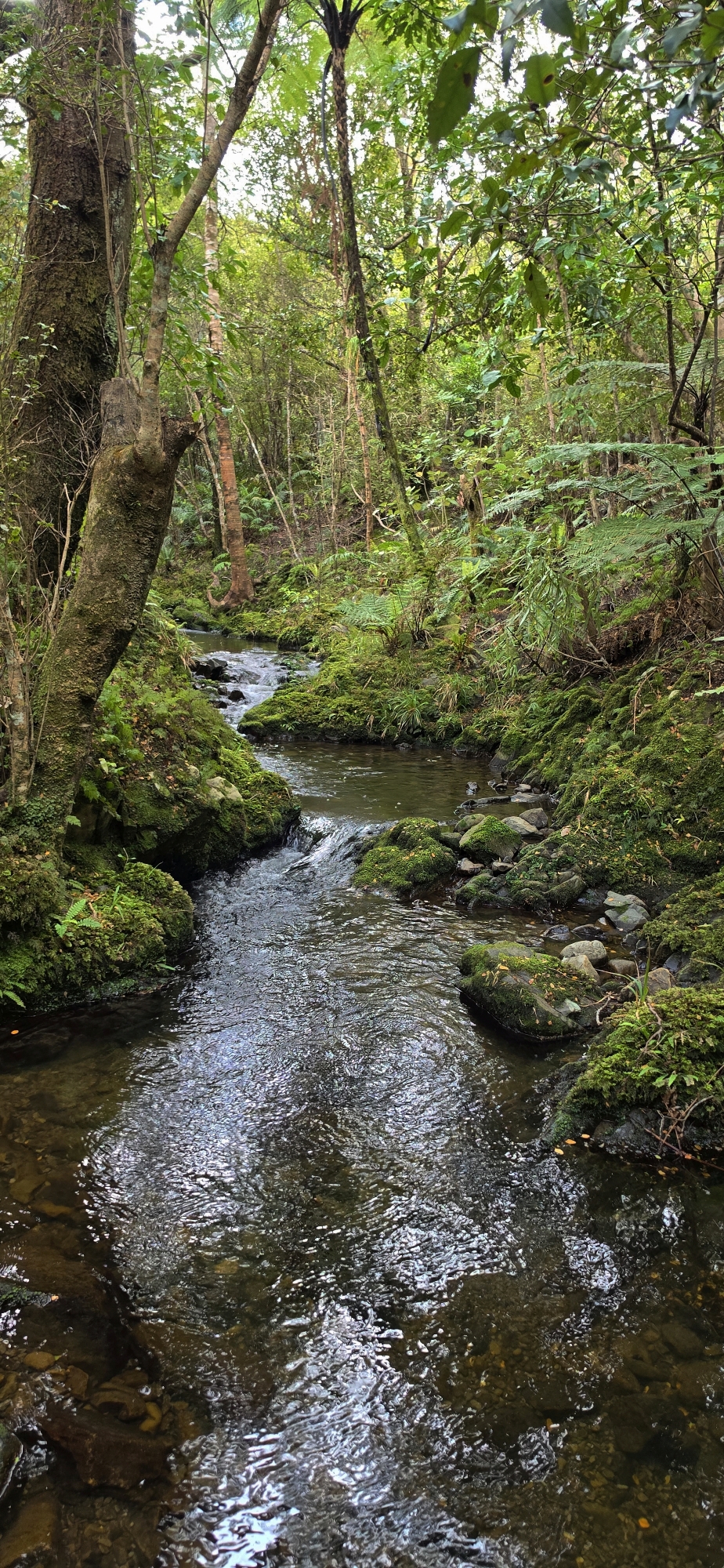
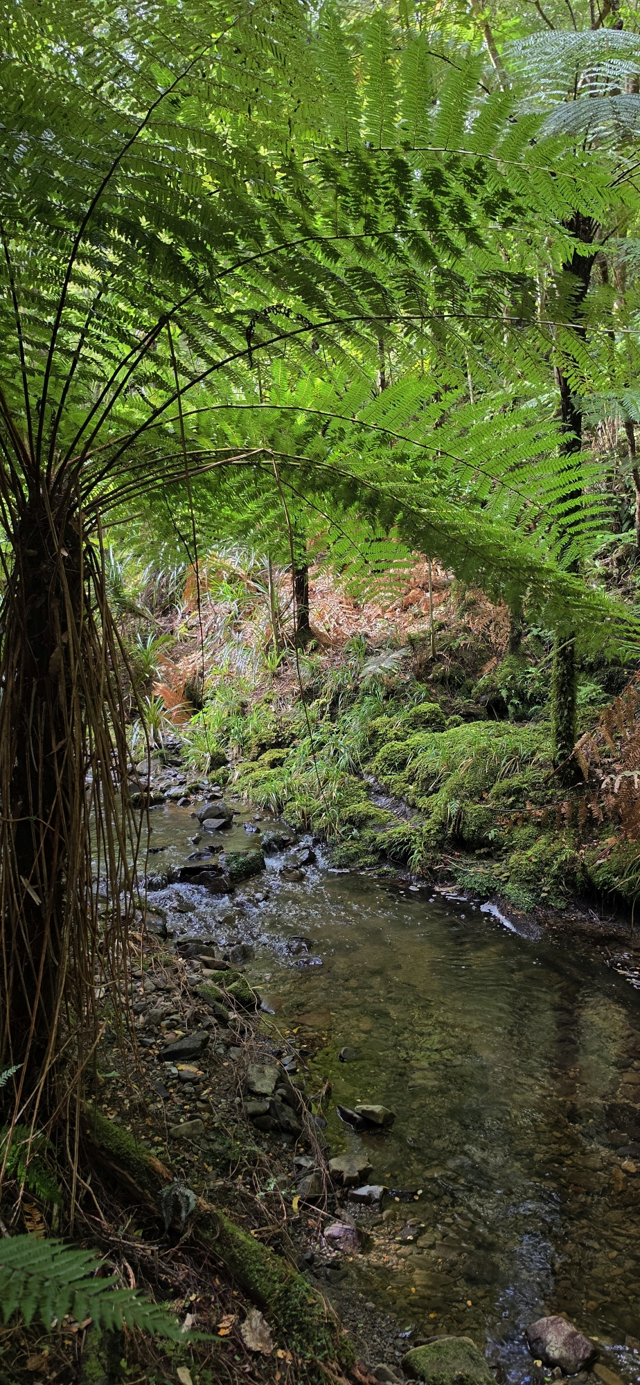
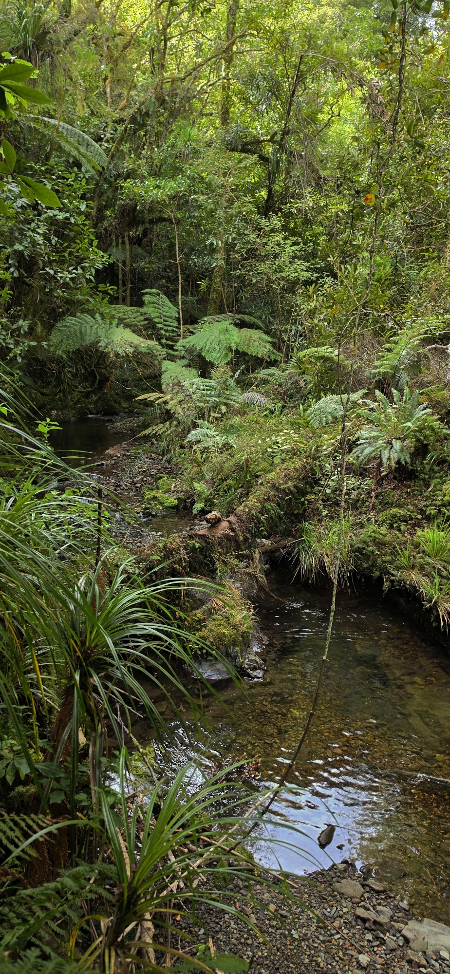
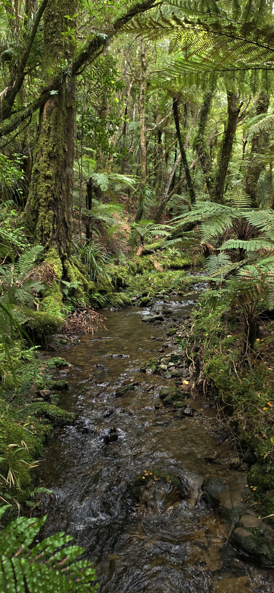
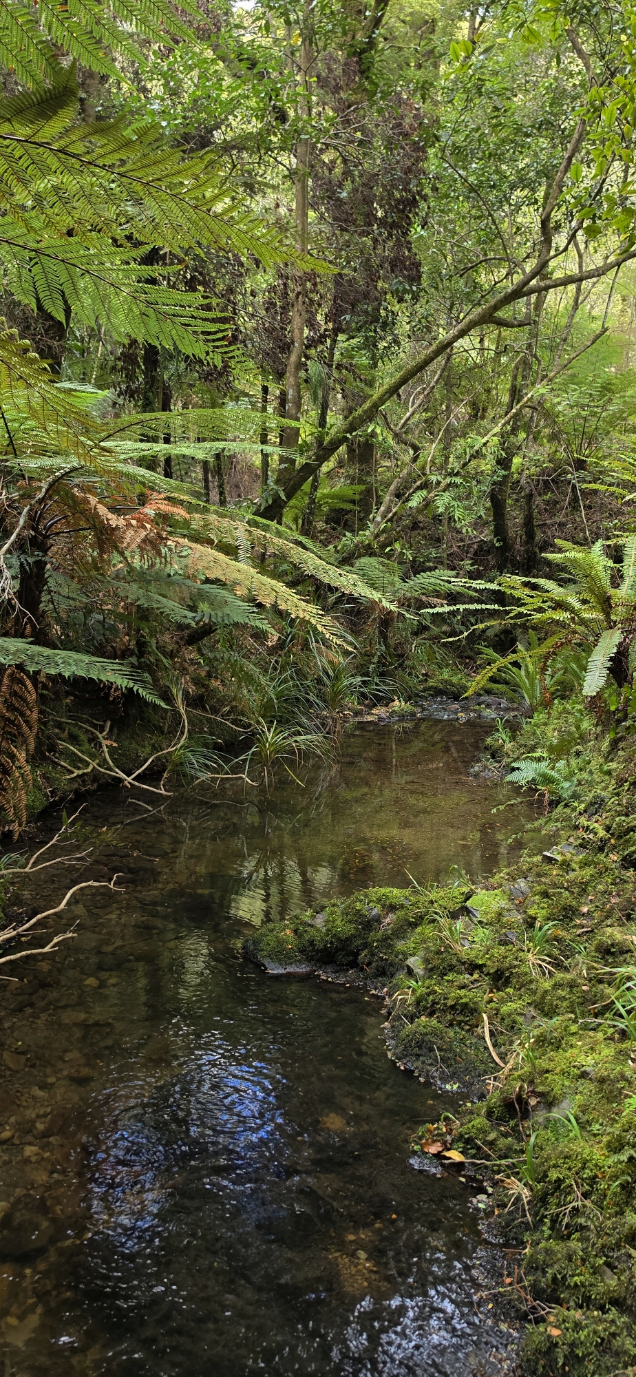
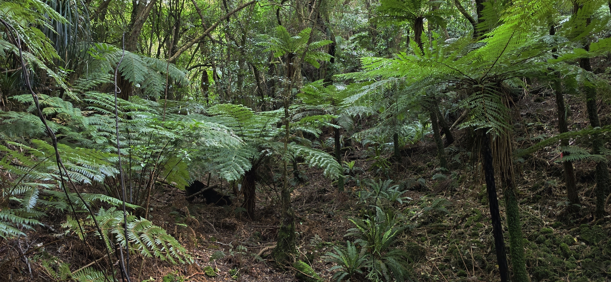
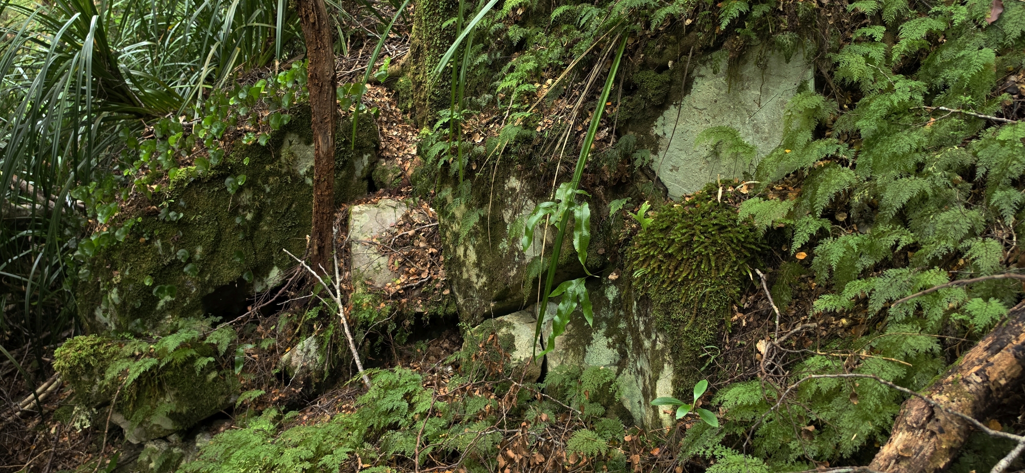
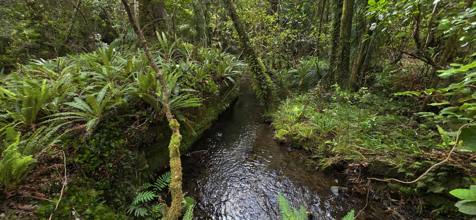
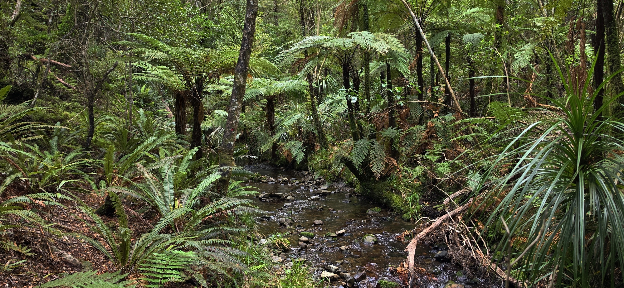
A small stream eventually formed, which I followed until it mysteriously disappeared, leaving a dry creek bed. Further downhill, the water reappeared beneath a pile of rocks. I continued downstream, occasionally scrambling along either bank to avoid dense vegetation.
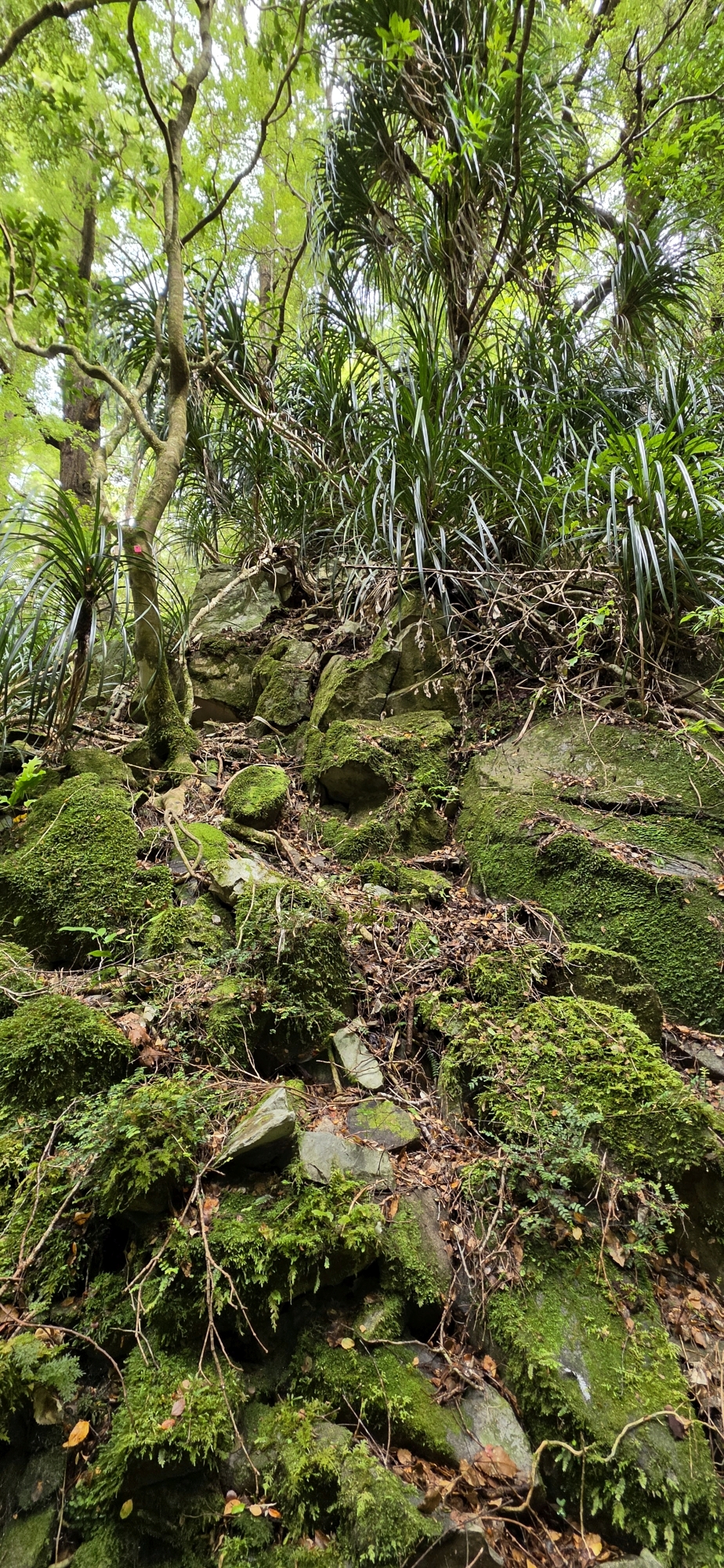
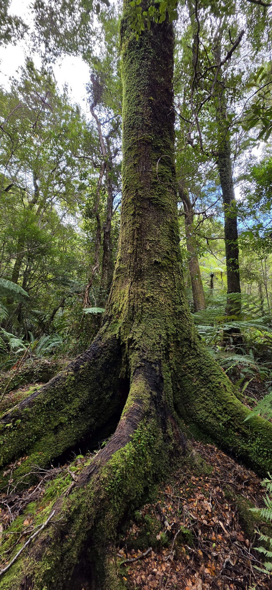
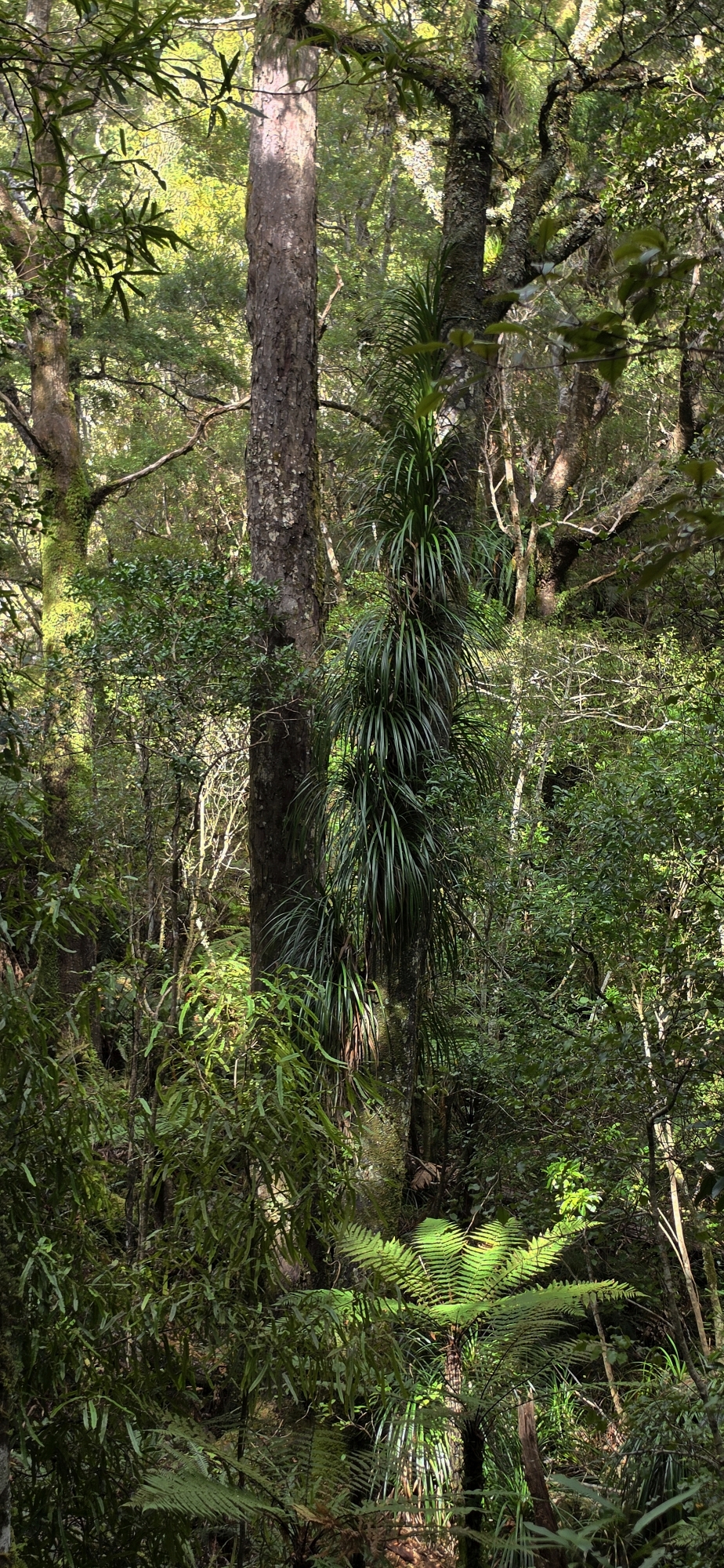
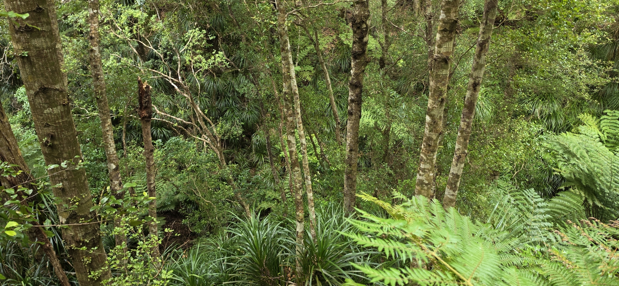
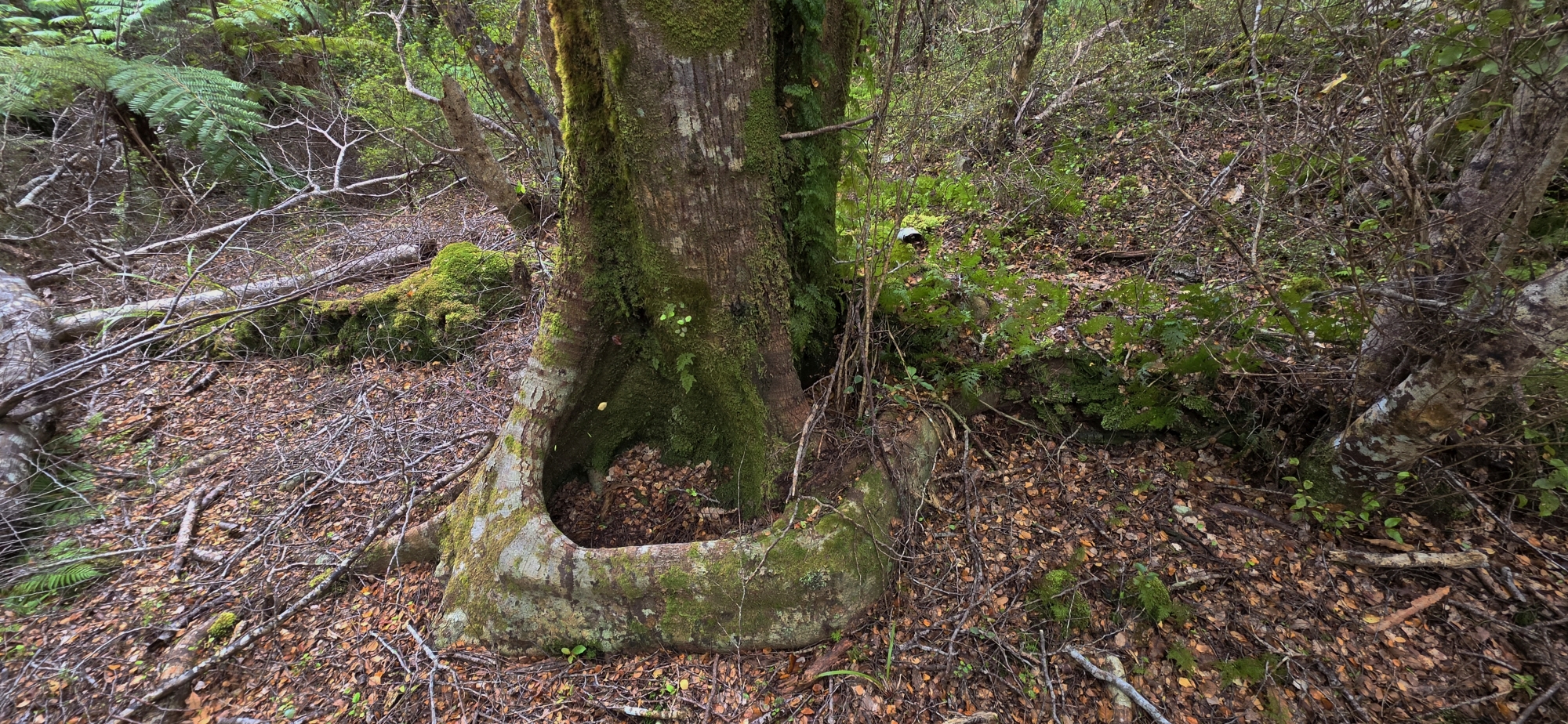
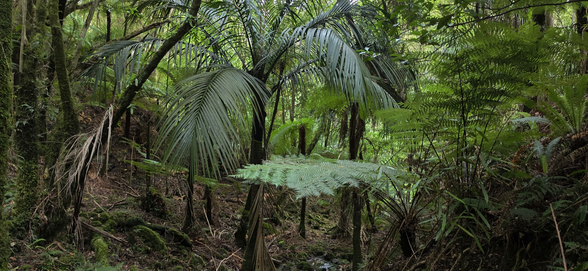 As the terrain levelled out somewhat, I spotted my first nikau palm of the day. I’ve often found that nikau palms favour gentler and more solid terrain, so their appearance was encouraging.
Eventually, I reached the junction with Gollans Stream and thought I had been here before during Bush Bash 88, when we descended from Lowry Peak before turning back. (However, looking at a map after the trip, it turned out it couldn’t have been the same area.)
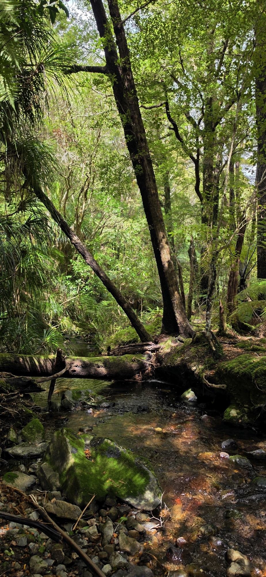
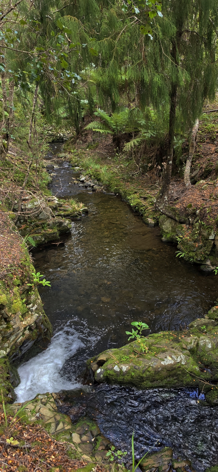
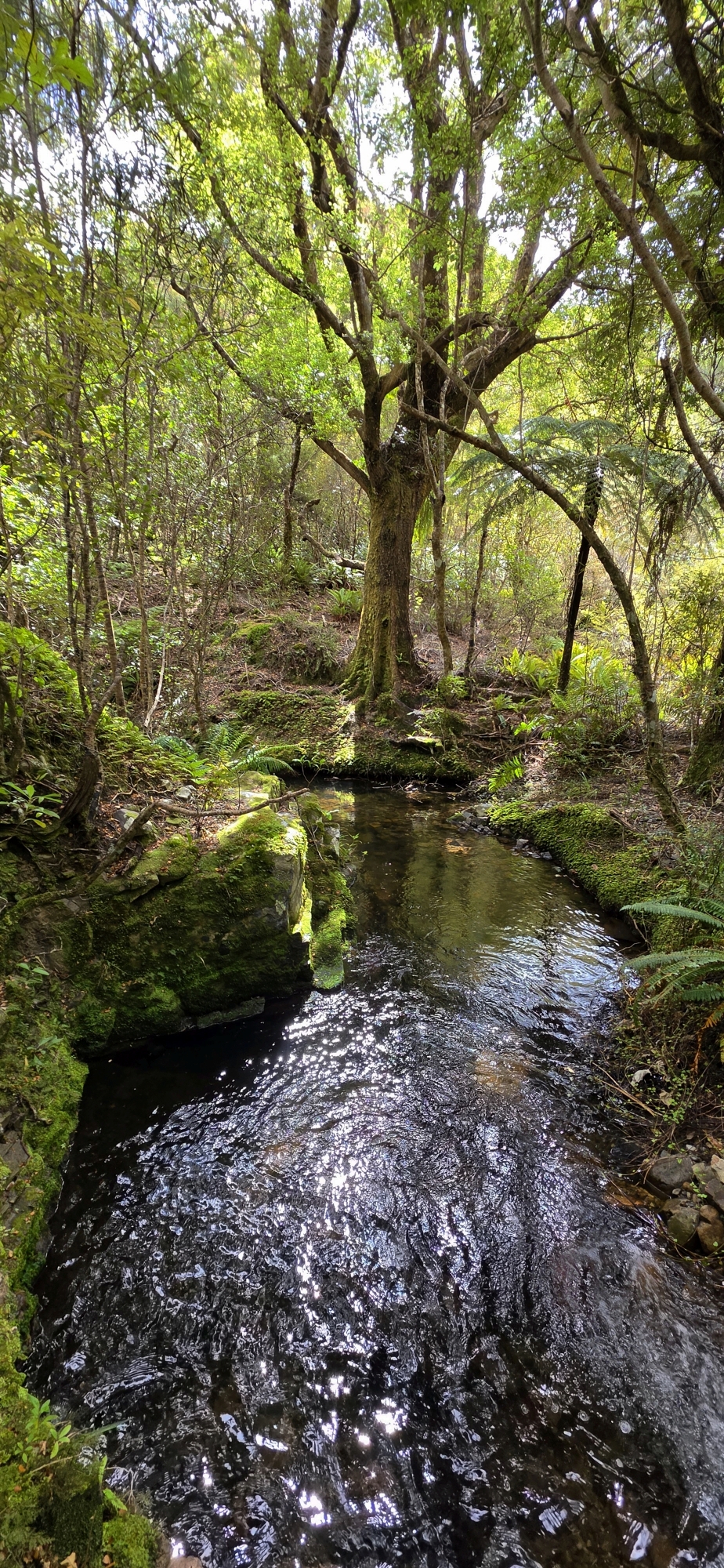
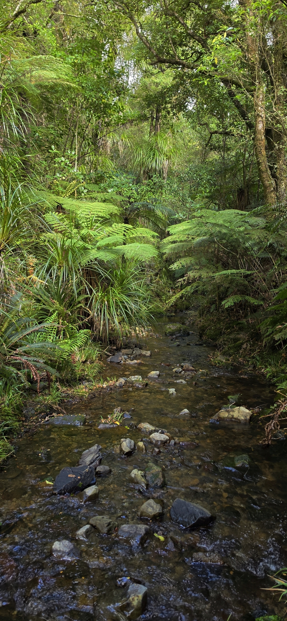
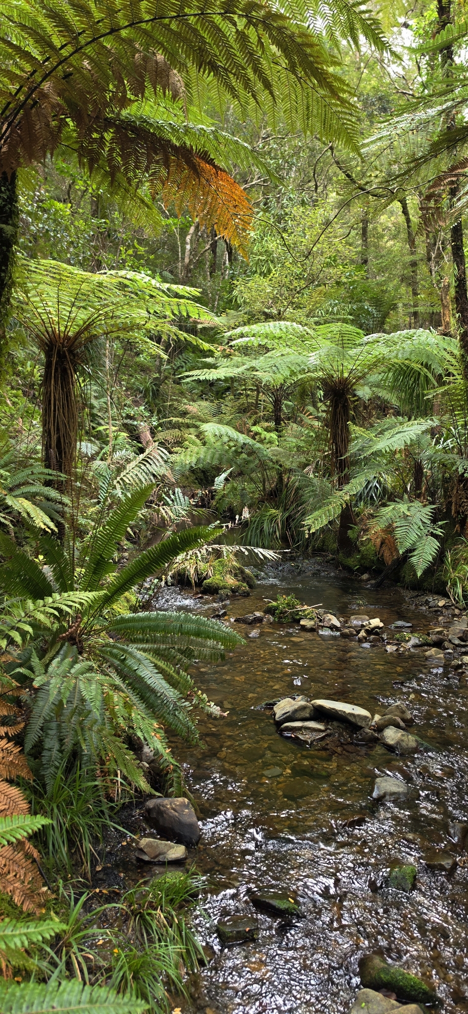
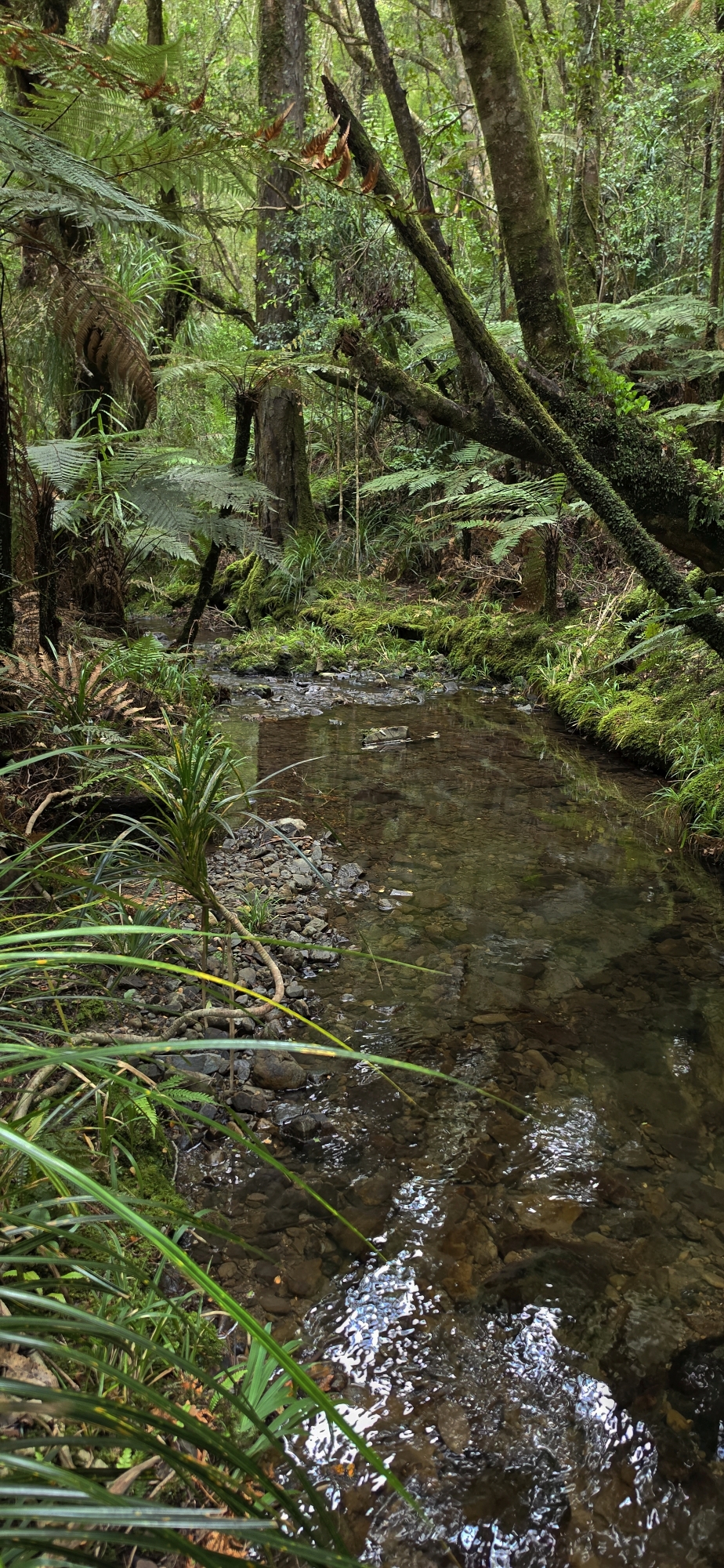
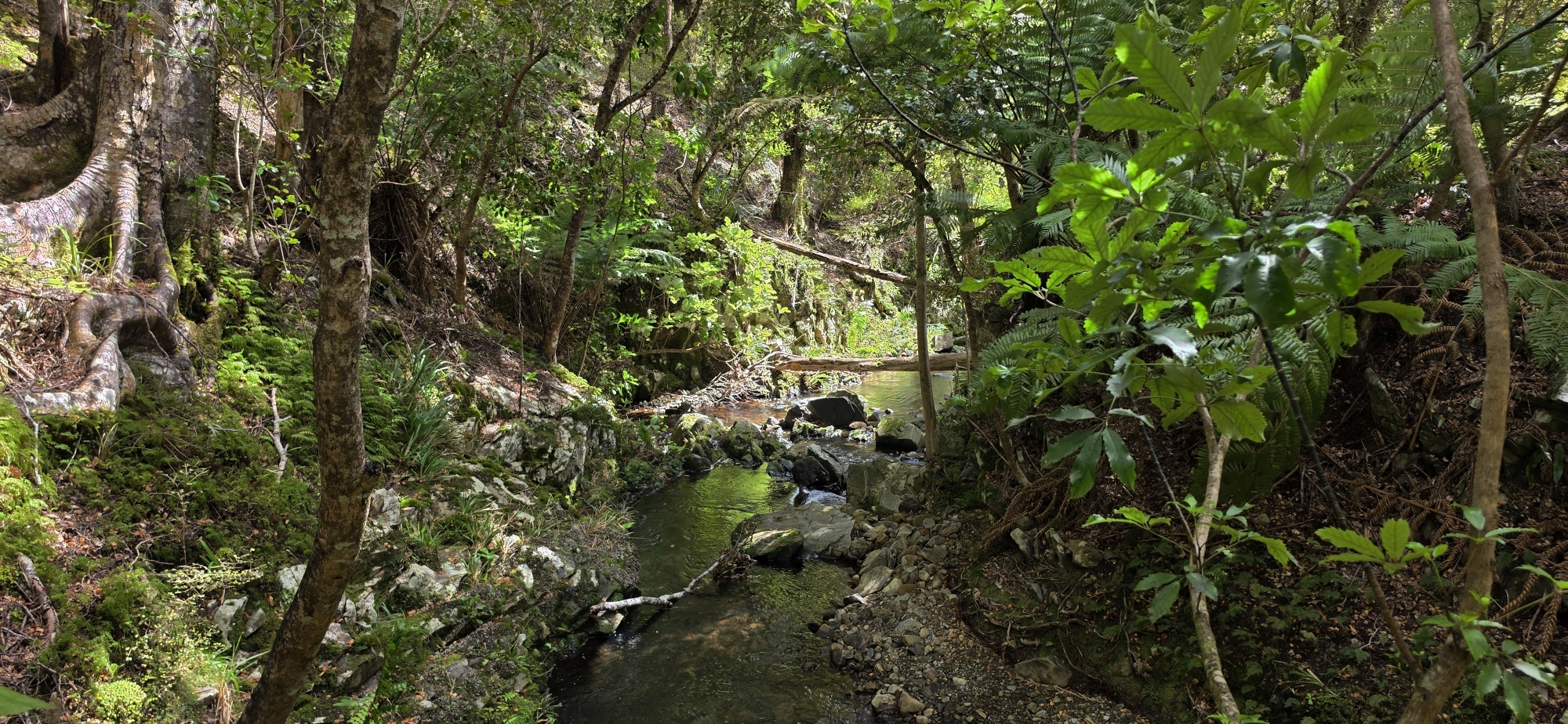
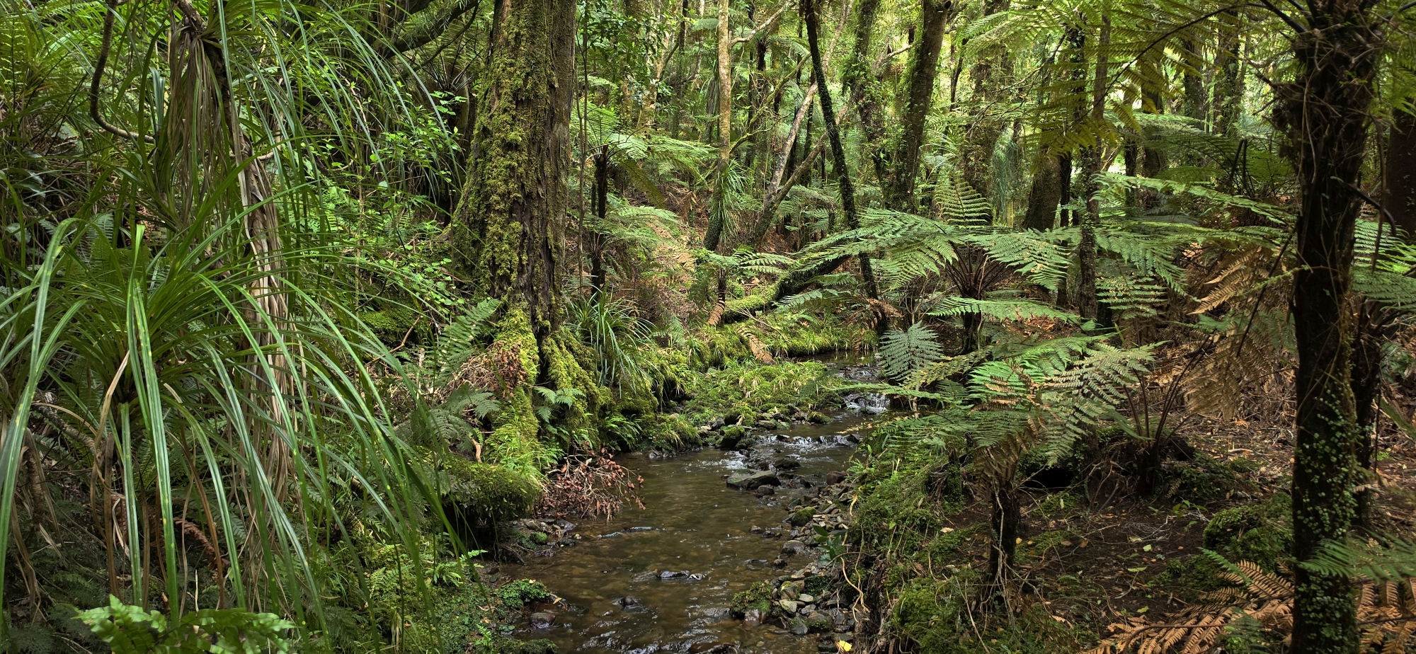
I continued south along Gollans Stream into new territory (for me) and soon discovered a bait-line track, which I suspect extends to Butterfly Creek. Although difficult to follow in places, I repeatedly picked it up again after bush bashing through the undergrowth as it generally stayed close to the stream.
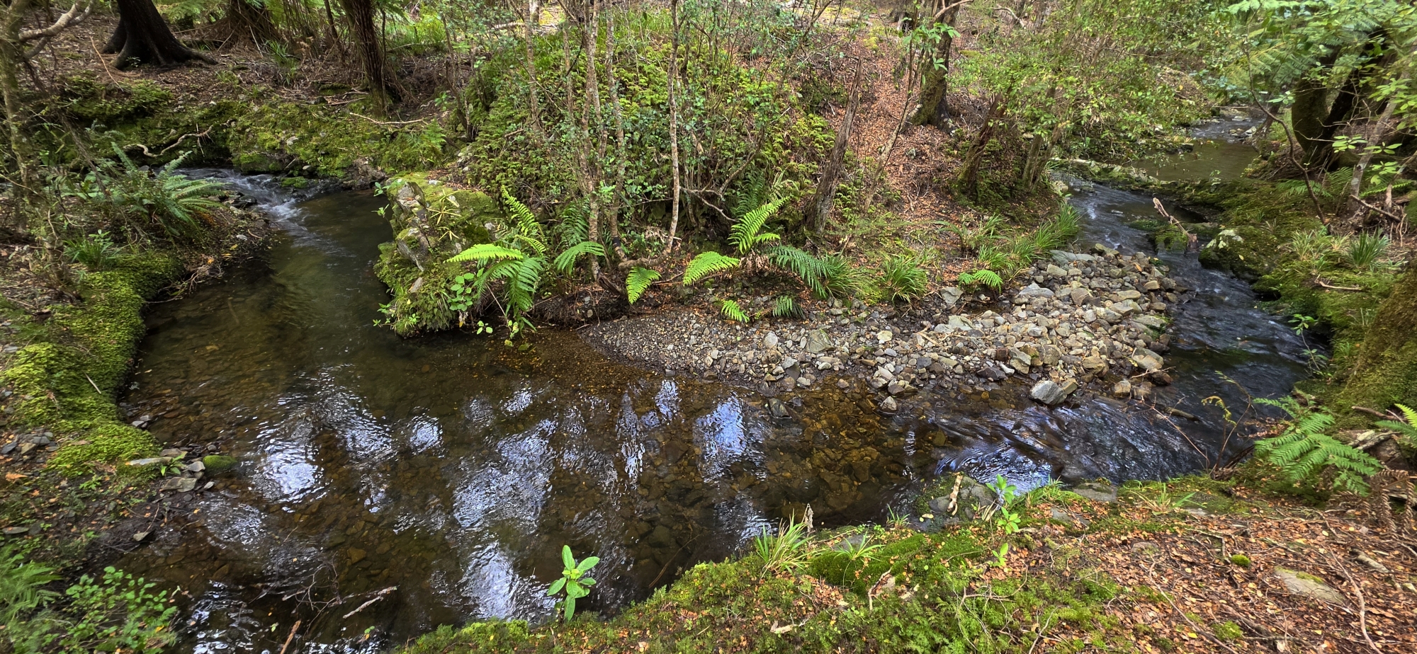
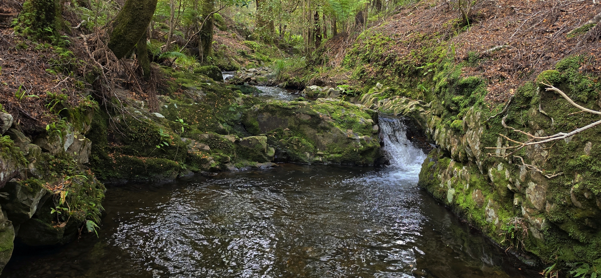
I passed the famous S-bend, where the stream’s sharp change of direction can supposedly cause disorientation, with water appearing to flow in opposite directions when viewed from the middle of the bend. Beyond this, the stream straightened somewhat and I continued for a while.
Besides searching for evidence of gold prospecting, I was also looking for another stream marked on the map, descending from the Days Bay ridgeline roughly in line with the Kererū Track above. My intention wasn’t to follow that track, but to use the gully and stream to climb back up to the Main Ridge Track, reconnect with the Korimako Track, and descend to where I had parked my car. This route would allow me to explore two tributaries of Gollans Stream in a single outing. And why was that important? Because of this newspaper article and others.
However, identifying the correct tributary proved difficult, with numerous small creeks descending from the surrounding hillside. One was noticeably larger, and I considered following it uphill. However, I changed my mind and instead turned around and followed Gollans Stream north, to go beyond my original entry point, hoping to locate Top Forks to confirm my bearings.
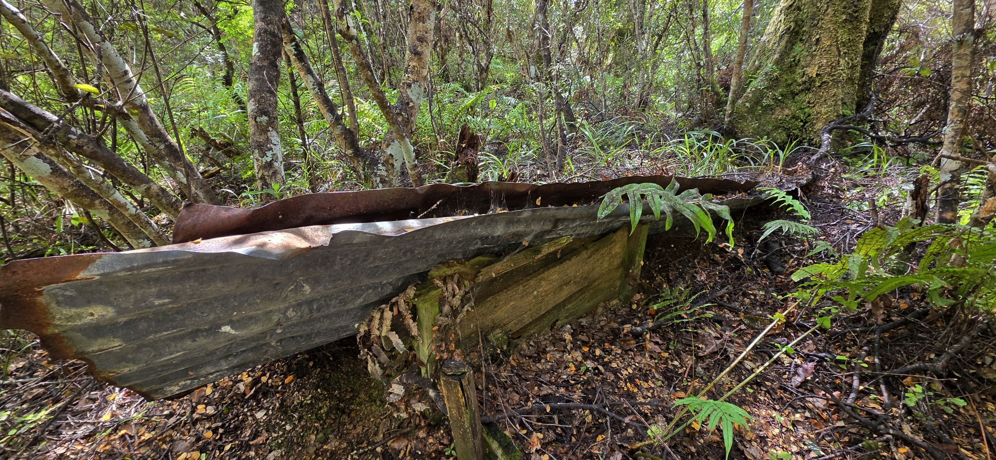
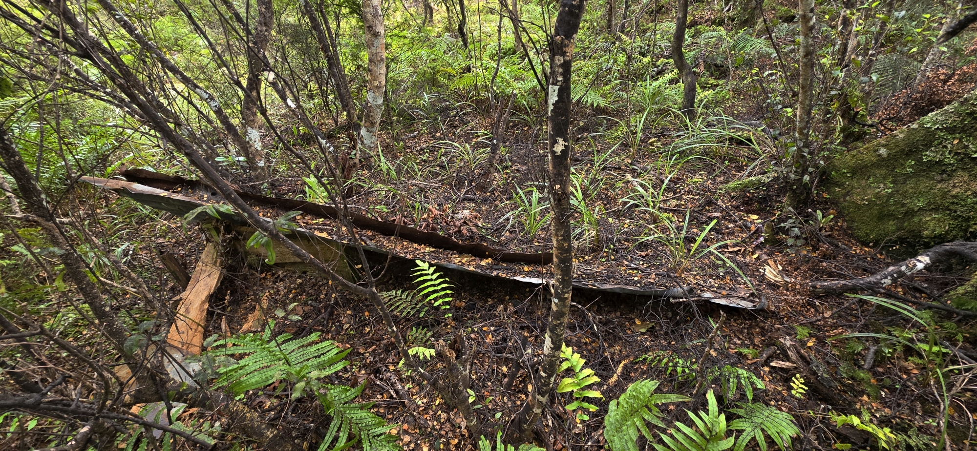
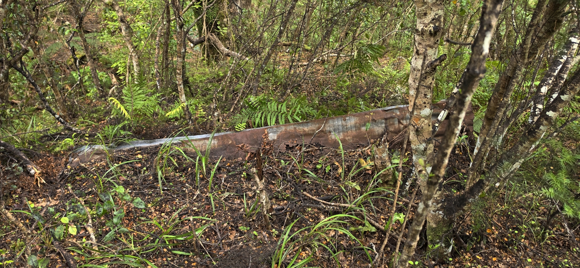
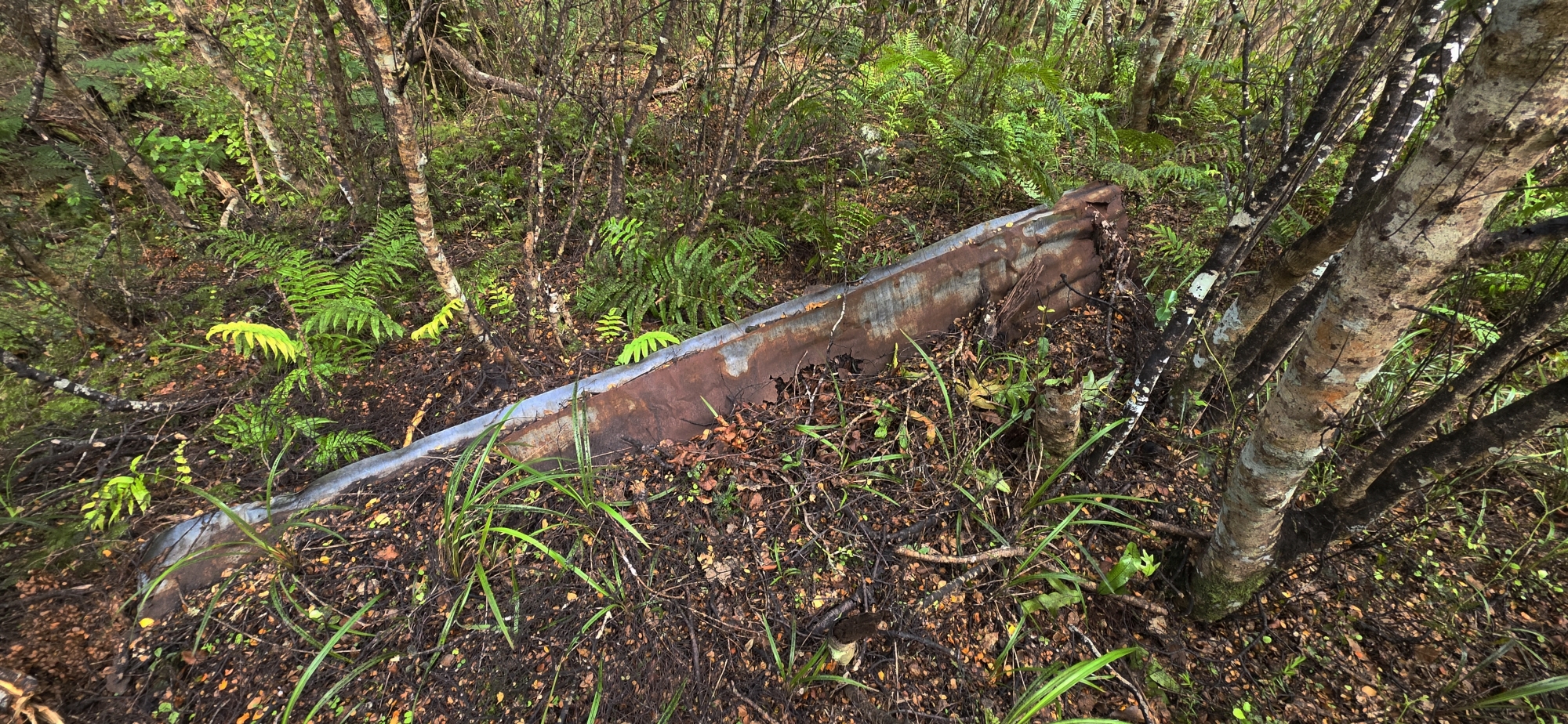 And it was here that I made an intriguing discovery above the bank of Gollans Stream: sheets of old corrugated iron lying beside a small wooden retaining wall. Could these remains be connected to the elusive gold-mining winze I’ve been searching for, or were they remnants of some other activity?
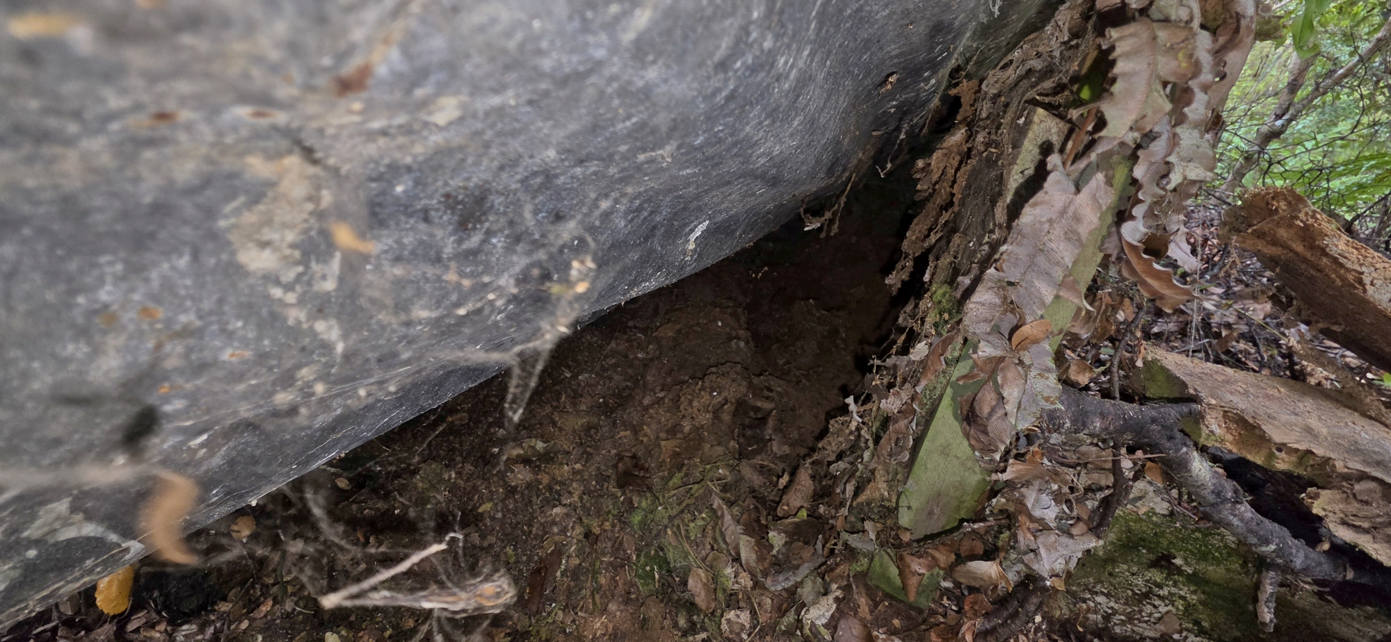
I lifted part of the iron but it had a lot of weight atop and a partial look underneath revealed solid ground beneath it. Perhaps it had once formed part of a small shelter. Alternatively, the sheets could have covered an old winze that was later filled in because of the danger it posed being near the bait line track? The small wooden retaining wall may also have served to prevent soil and debris from falling into a shaft. At the time, I couldn’t think of another obvious purpose for it, although, in hindsight, it may simply have been built to create a perfectly level area for a shelter, despite the ground already being relatively flat.
However, a historical description of a winze in this general area mentioned boards covering the winze to obviously prevent things and people falling into it. But coupled with its close proximity to Gollans Stream added another element of intrigue for the following reason.
An 1882 survey map by James Daniel Climie labels Gollans Stream as “Goldmans Creek”. To play Devil’s advocate though, this may simply have been a naming or transcription error, given the similarity between “Goldmans” and “Gollans”. The name appears on no other known maps, including other surveys by Climie himself, casting doubt on whether it was ever a genuine alternative name.
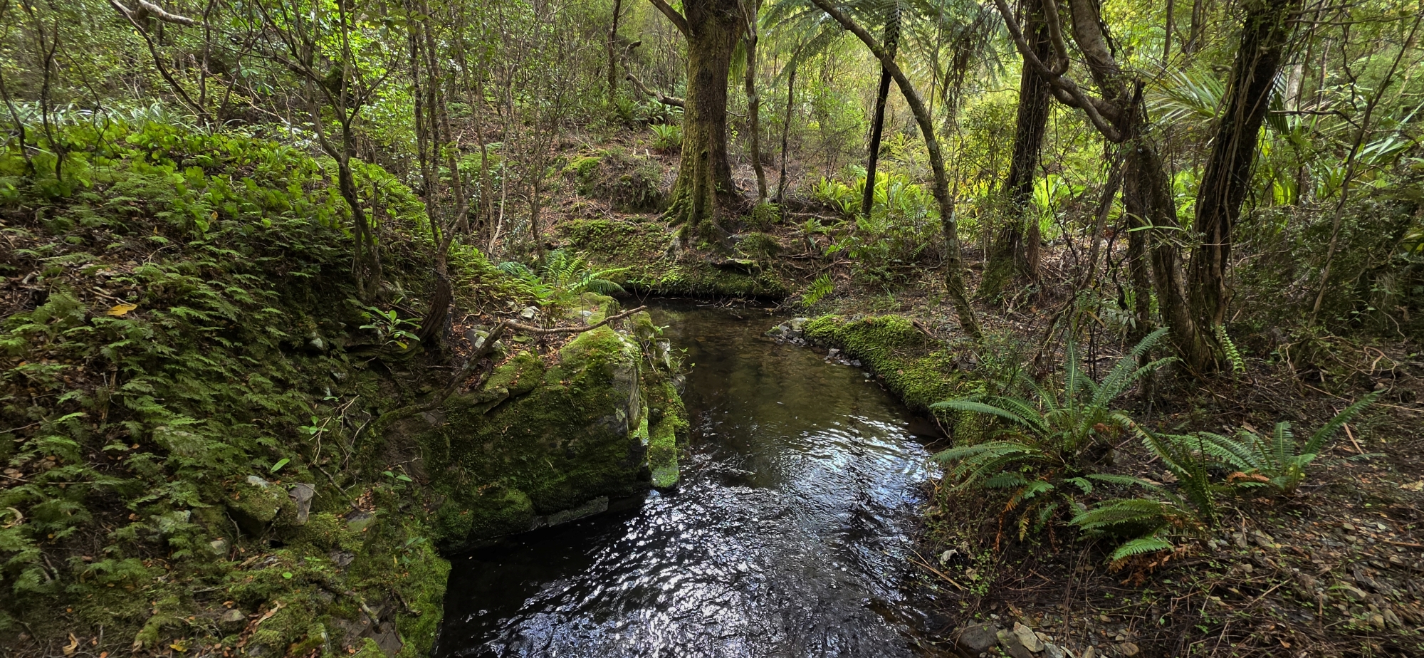
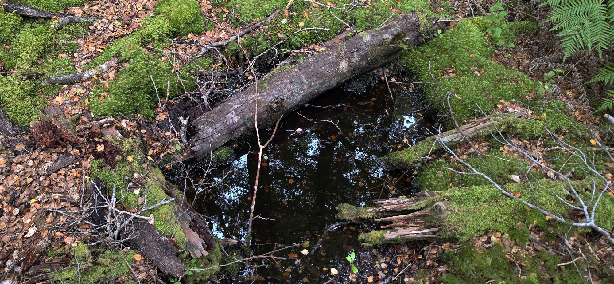 There is no firm evidence linking these remains to the historic gold workings, but the combination of clues makes the location intriguing. Could an early prospector have discovered gold in Gollans Stream and excavated a winze above the stream in an attempt to locate the source reef? Another possibility is that the structure was simply a shelter, while a nearby water-filled hole I photographed could be the remains of an old prospecting pit. Unfortunately, this possibility never occurred to me at the time. Had it done so, I would have investigated the hole / pit more closely to determine its depth. Perhaps it’s all just wishful thinking, but these possibilities are certainly worth exploring further.
Moving on, I passed the creek I had originally descended and continued further upstream along Gollans Stream, to look for Top Forks which I first came across in Bush Bash 88. I wanted to confirm my bearings, but I was unable to locate it. With time running out, I turned back towards my original entry point. Rather than retracing my exact route, I decided to climb earlier up a spur that appeared to offer an easier ascent to what I assumed was the Main Ridge Track above.
As it turned out, the spur formed the northern flank of the gully I had descended earlier. It proved much easier to navigate and provided another opportunity to search for traces of historic gold prospecting by early prospectors from Days Bay and Eastbourne.
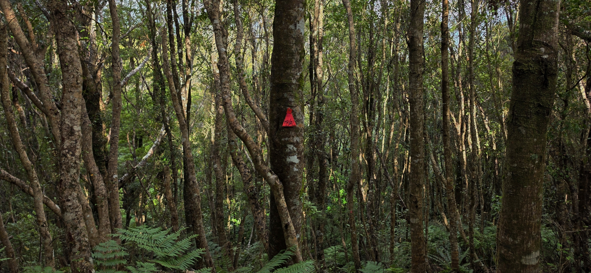 However, the ascent was deceptive. Two times I thought I was approaching the ridgeline, only to reach a saddle and face another climb. I was truly exhausted and wondered if the hill I was climbing would even take me to a track above, or could I have been too far north and ended up ascending a close but different hillside? I found out the answer when on the third uphill section section I stumbled across a baitline track and that led me up onto the Main Ridge Track, just north of the Korimako Track.
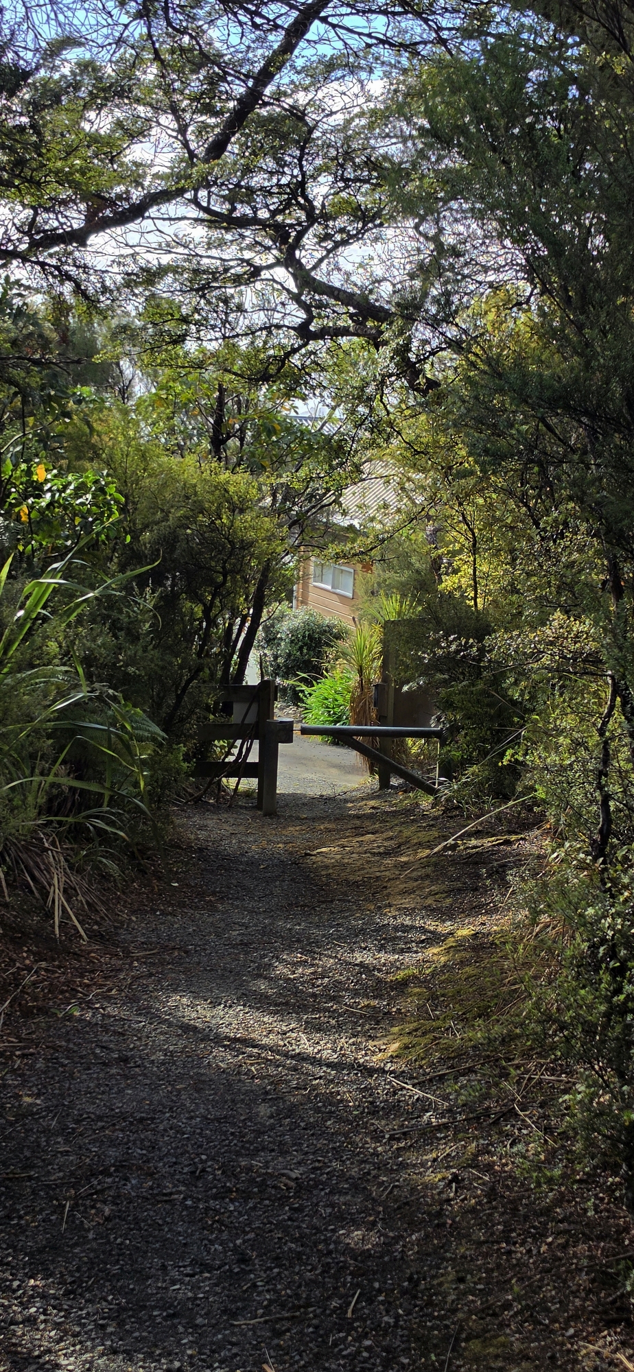
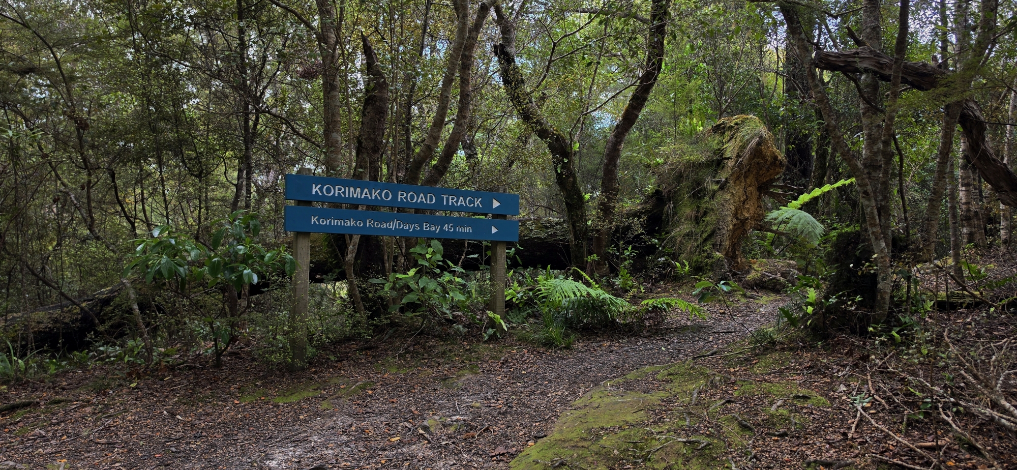 From there, it was a short downhill walk to the Korimako Track, which I followed back to where I had parked my car.
What was supposed to be a modest excursion had become one of the most gruelling bush treks I’ve undertaken, at least according to my legs. After six hours of climbing and descending ranges and searching the valley floor, I was spent.
Climbing back into my familiar car was an immense relief. After a demanding day in the bush, it almost felt like coming home.